


 Recommend YouTube


| View : |  | ||
| Difficulty : |  | ||
 (skip Tai She Teng) | |||
| Path : | |||
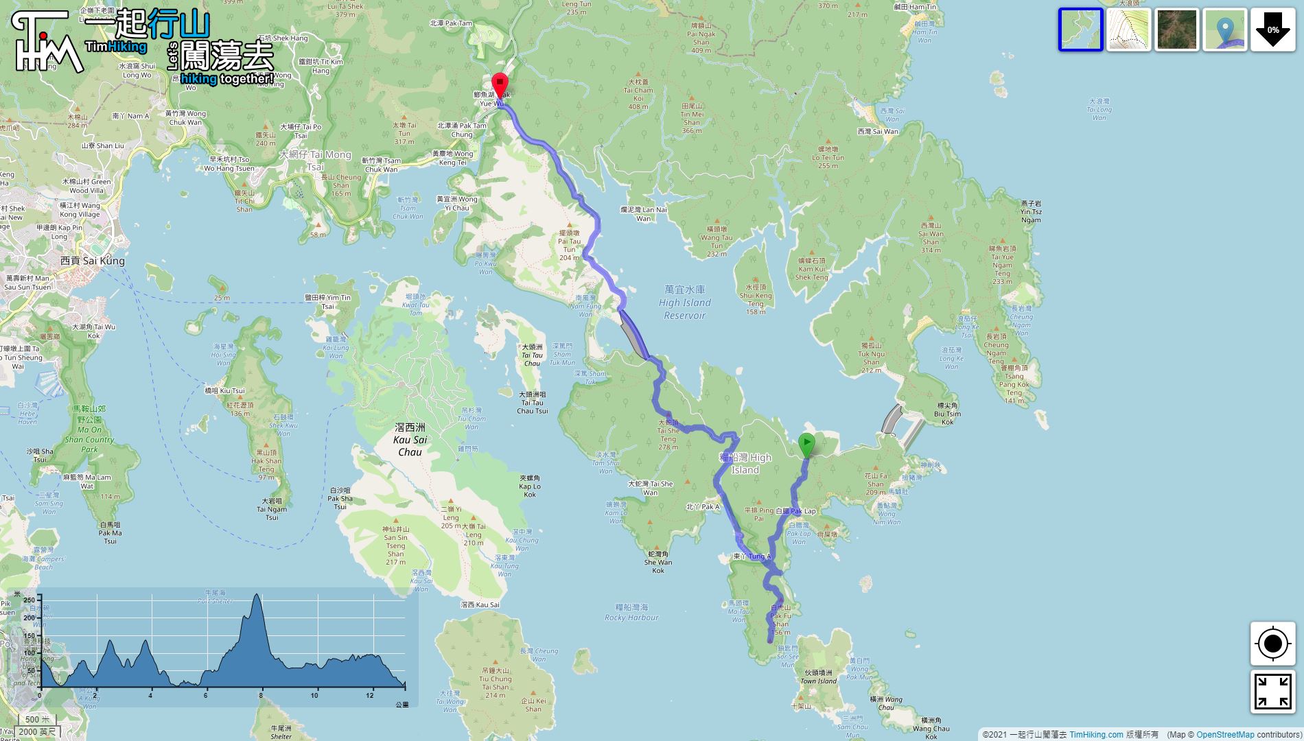
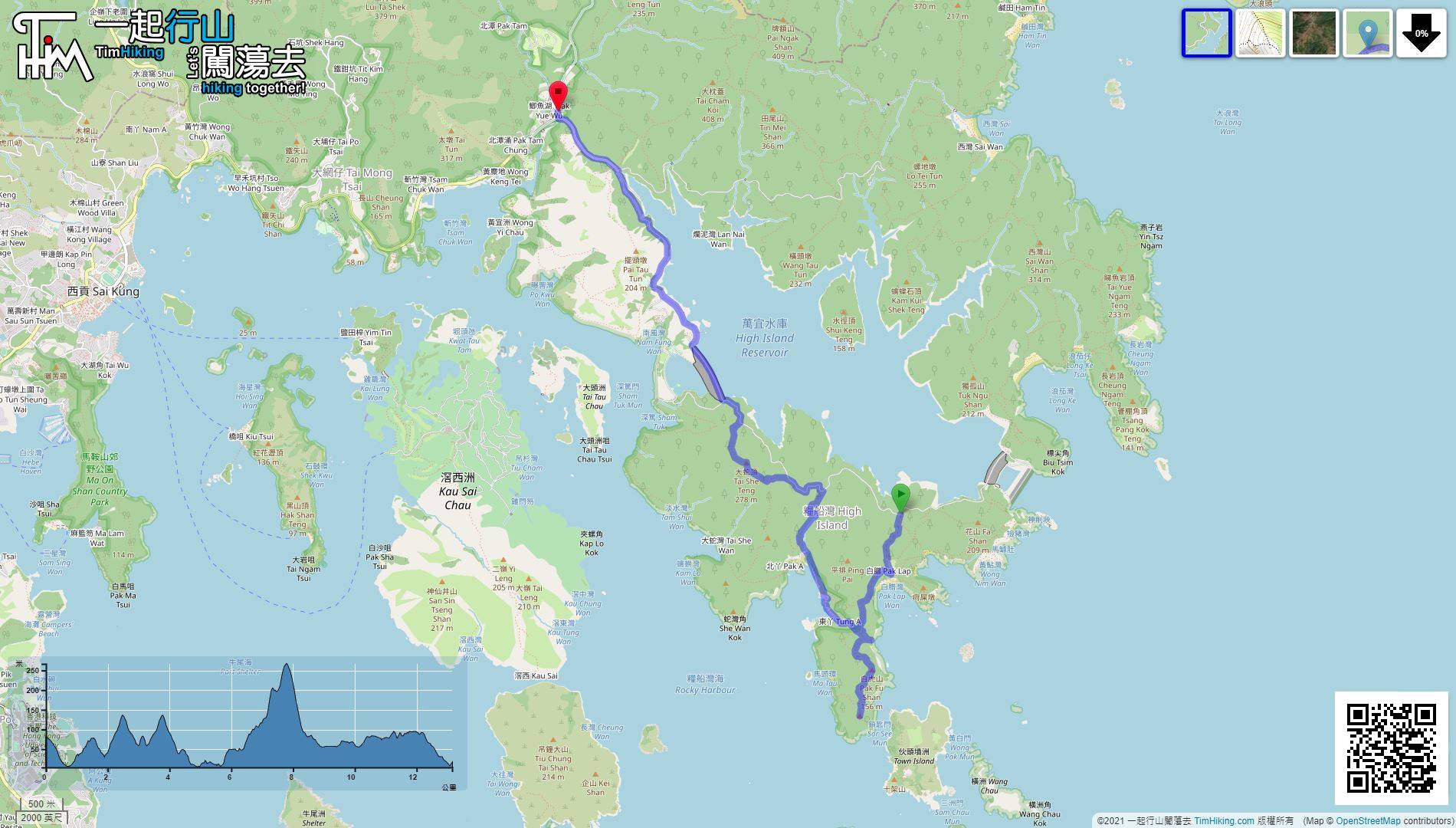
| Length : | 13.2km | ||
| Time : | 7hours | ||
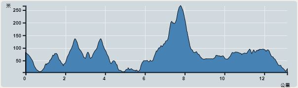 | |
| Ascent : 520m | Descent : 583m |
| Max : 267m | Min : 4m |
| (The accuracy of elevation is +/-30m) | |
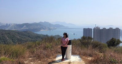
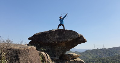
 Tai She Teng
 Store
Store
 10︰When reaching the end, will see a concrete mountain trail on the left,
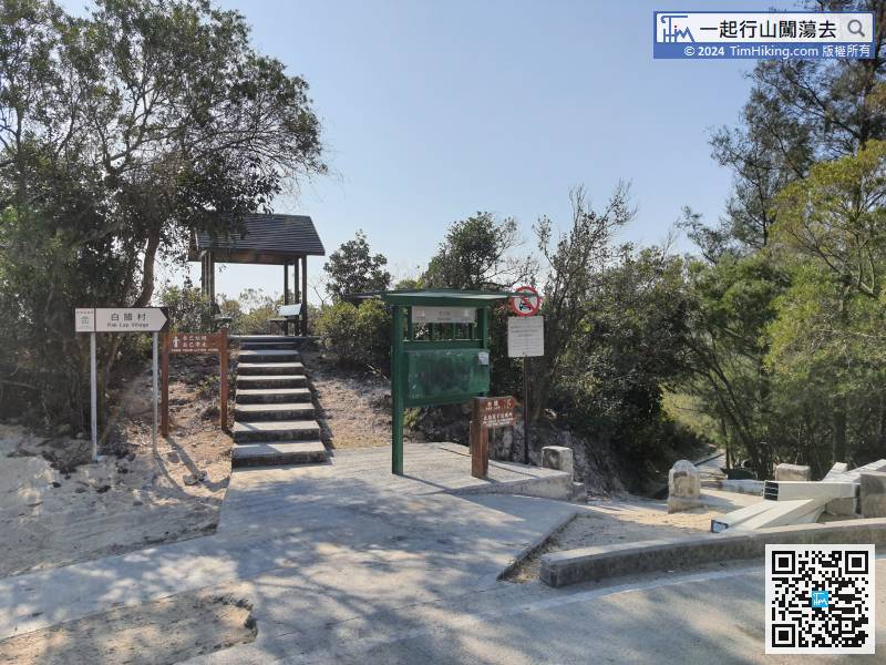
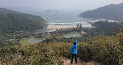
The starting point is Sai Kung Pak Lap Village. You can only take a green taxi from Sai Kung, about $120.
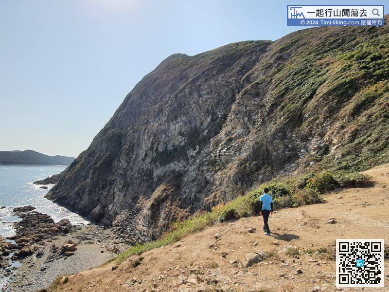
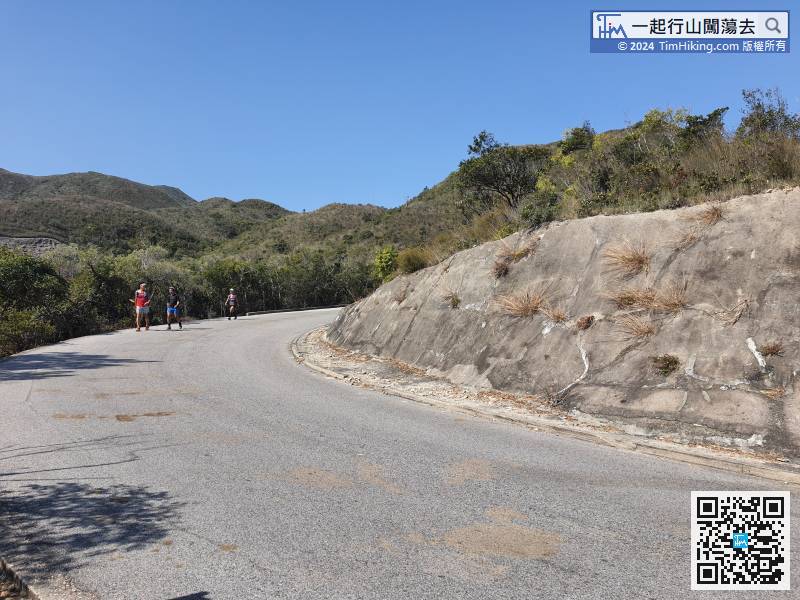
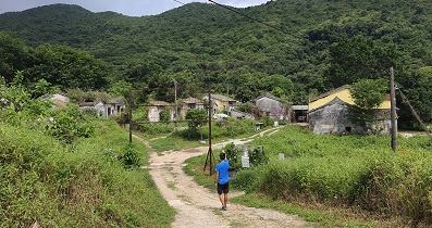
15︰look for a trail on the left to go up the mountain,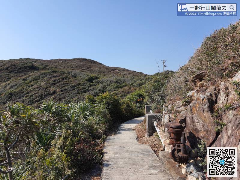 29︰and can easily get into the abandoned village.
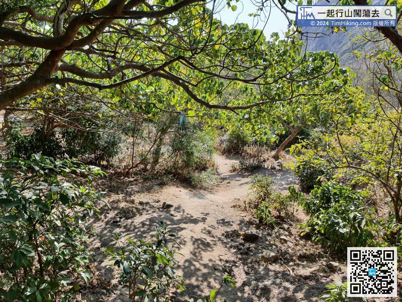 38︰Although there is more gravel, the grass on the other barren trail in the west is extremely dense which is very difficult to find the correct road embryo.
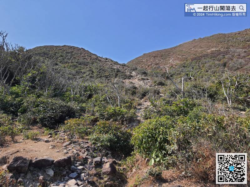
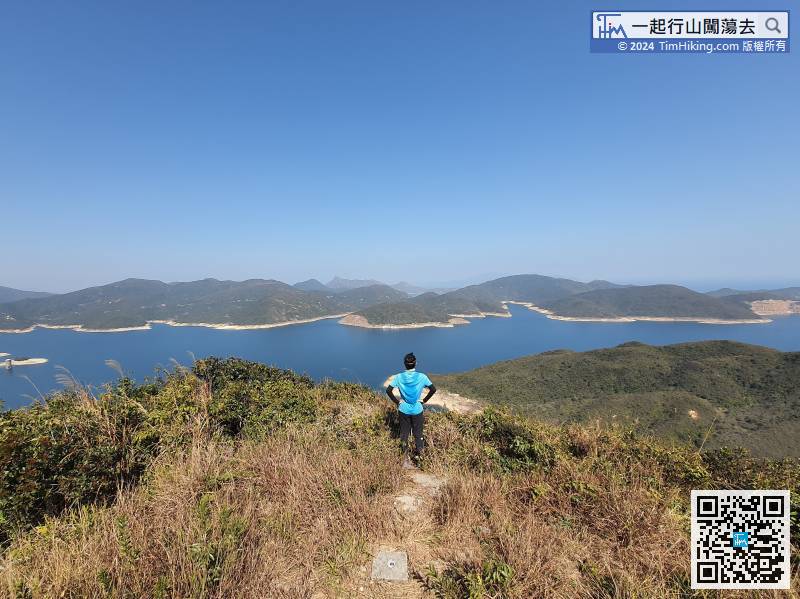
This barren trail is the best path to climb Pak Fu Shan.
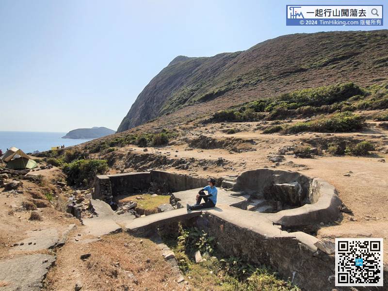
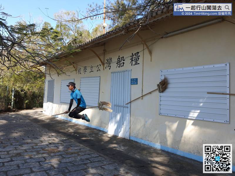
 66︰It passes through the Classroom No.1 of High Island Public School. There were 45 students in the fourth, fifth, and sixth year class.
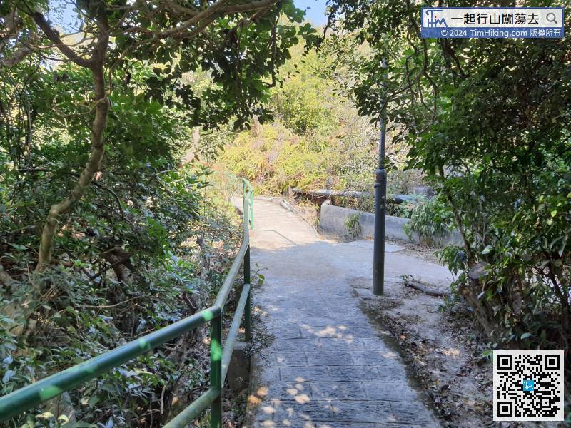
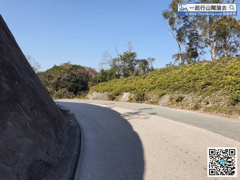
Turn left on Man Yee Road. If you do not get to the rugged Tai She Teng, you can take a taxi and leave here. For all climbing Tai She Teng,
86︰The trail is rugged,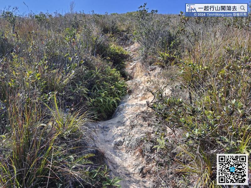 112︰After returning safely to Man Yee Road, turn left and leave.
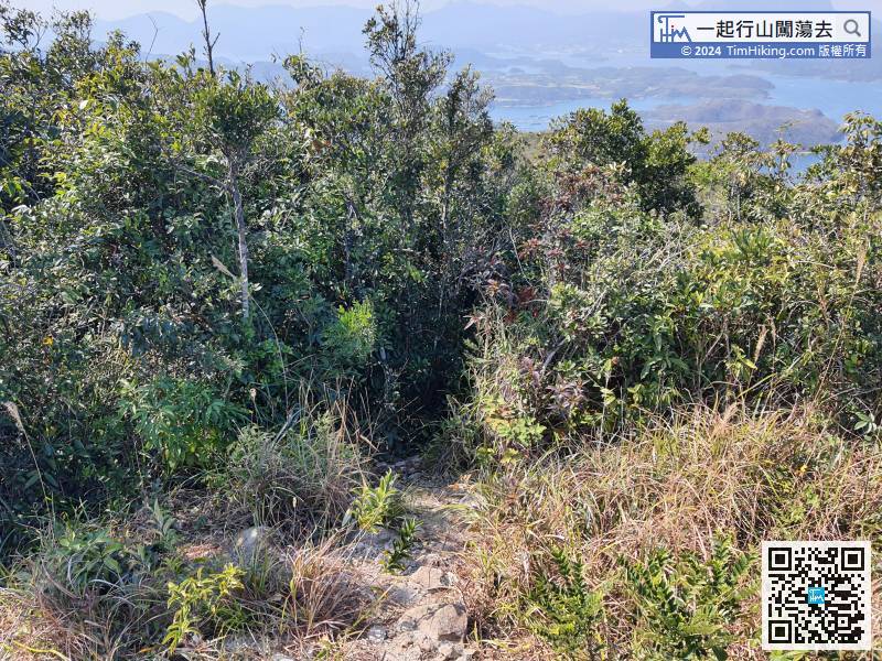
Going down the mountain from the other end is more difficult and very easy to get lost.


