


 Recommend YouTube


| View : |  | ||
| Difficulty : |  | ||
| Path : | |||
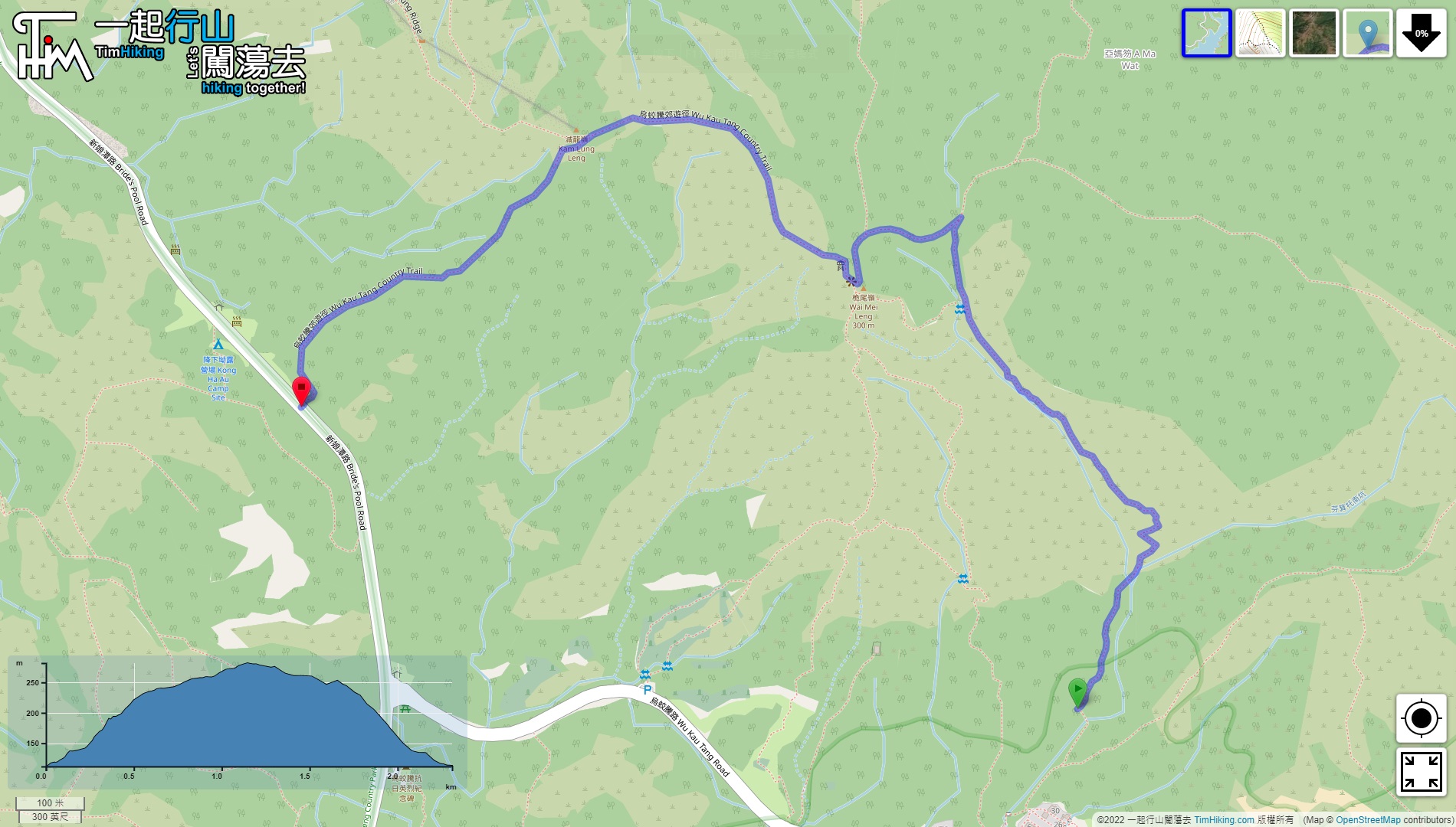
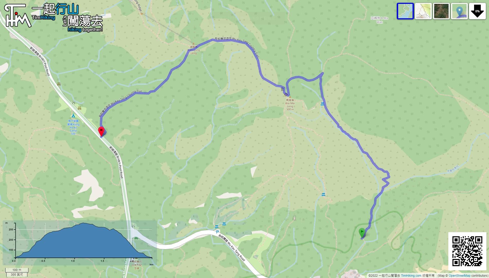
| Length : | 2.4km | ||
| Time : | 1¼hours | ||
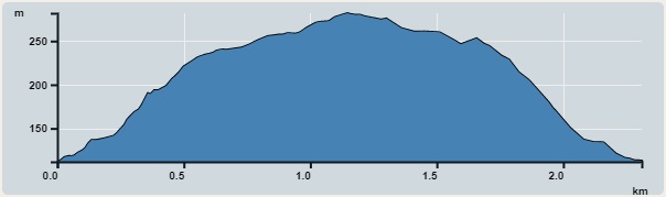 | |
| Ascent : 180m | Descent : 180m |
| Max : 282m | Min : 112m |
| (The accuracy of elevation is +/-30m) | |


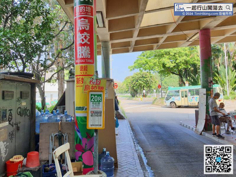
To go to Wu Kau Tang, take minibus 20R at Tai Po Market Station and get off at the terminal.
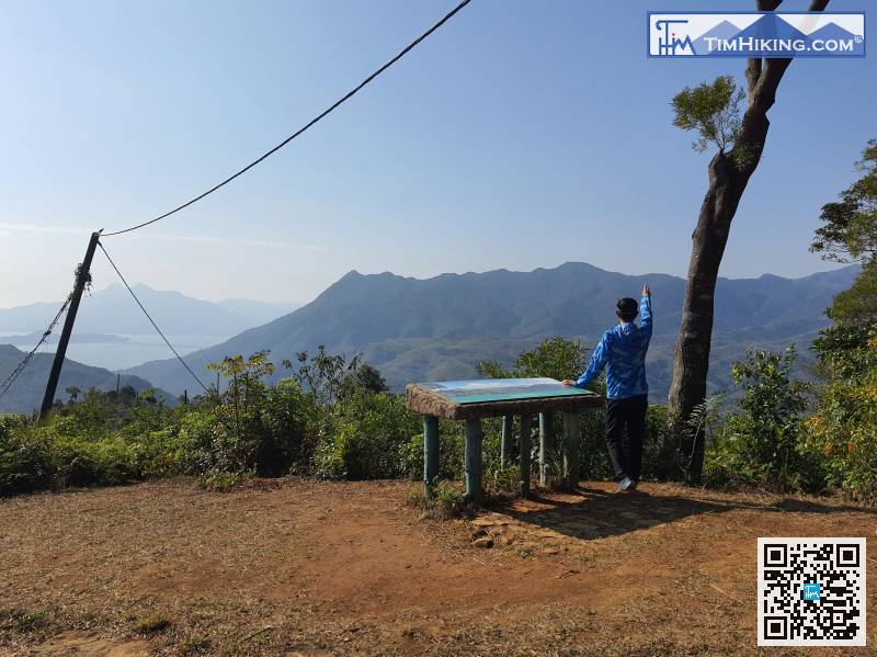
 21︰After coming to a big intersection,
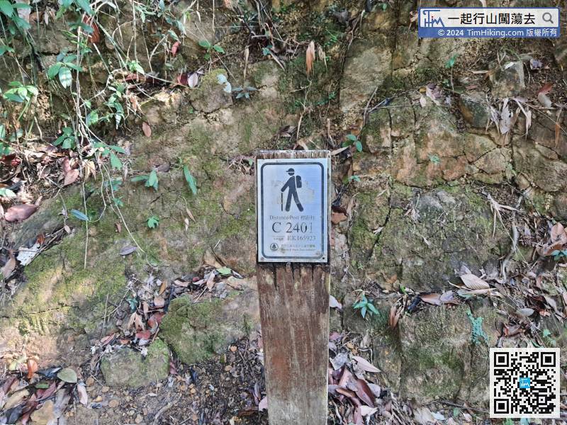
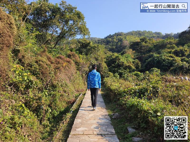
As other Country Trails, hikers will see a distance post every 500 meters. The first distance post number is C2401.
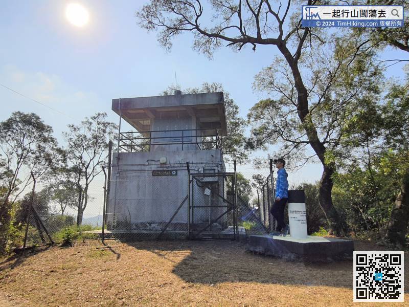
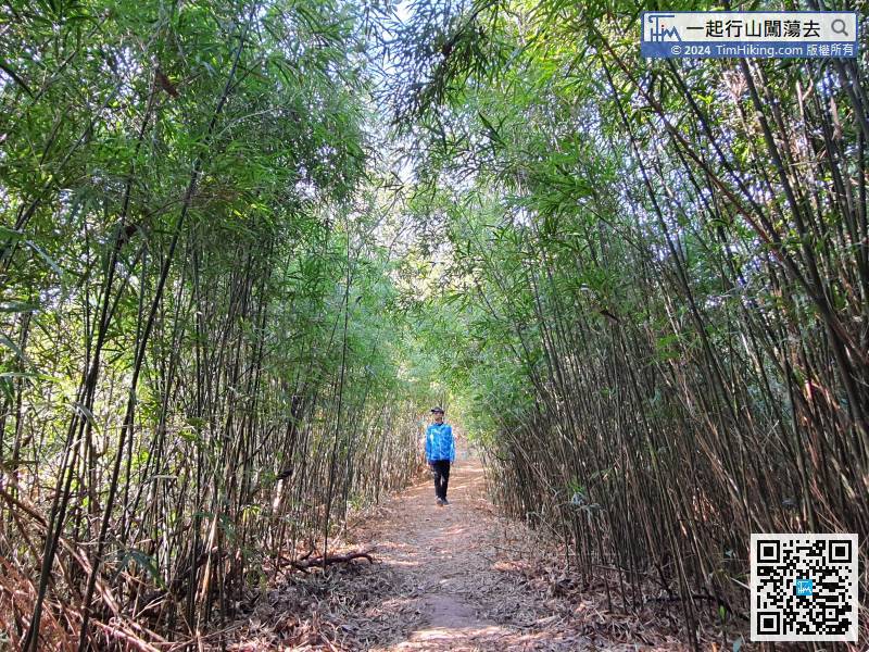
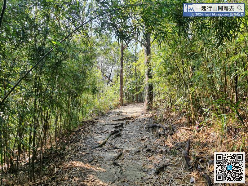
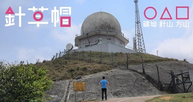
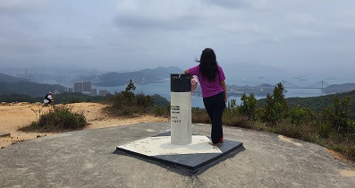
31︰There is a Trigonometrical Station(No.534) on the top of the Wu Kau Tang Fire Lookout, also there is another one(No.520) behind the Fire Lookout,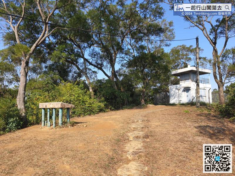 38︰come to a beautiful bamboo tunnel,


