Recommend YouTube



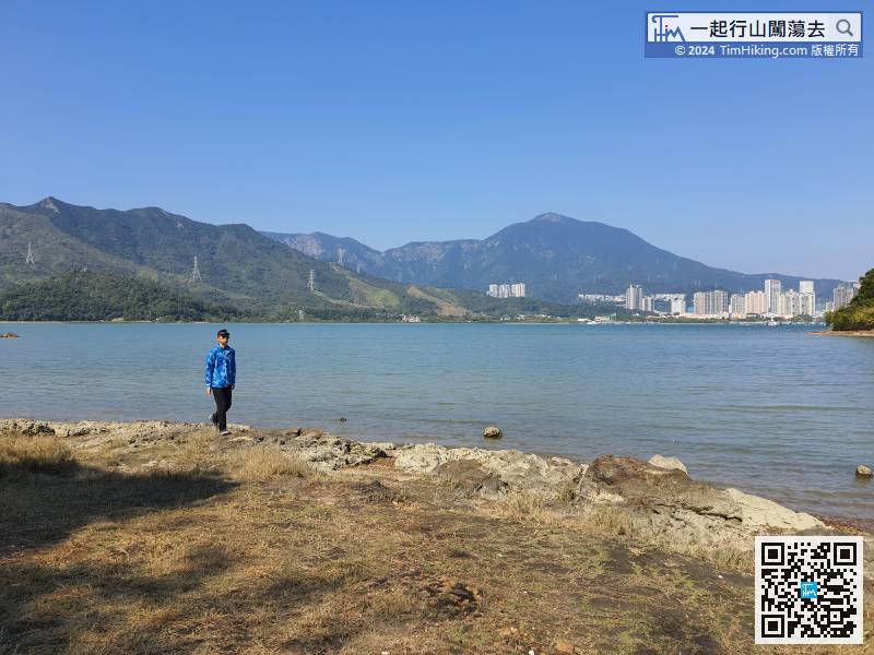
| View : |  | ||
| Difficulty : |  | ||
| Path : | |||
| Length : | 2km | ||
| Time : | ¾hours | ||
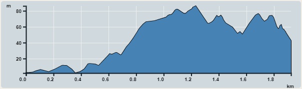 | |
| Ascent : 176m | Descent : 134m |
| Max : 86m | Min : 2m |
| (The accuracy of elevation is +/-30m) | |


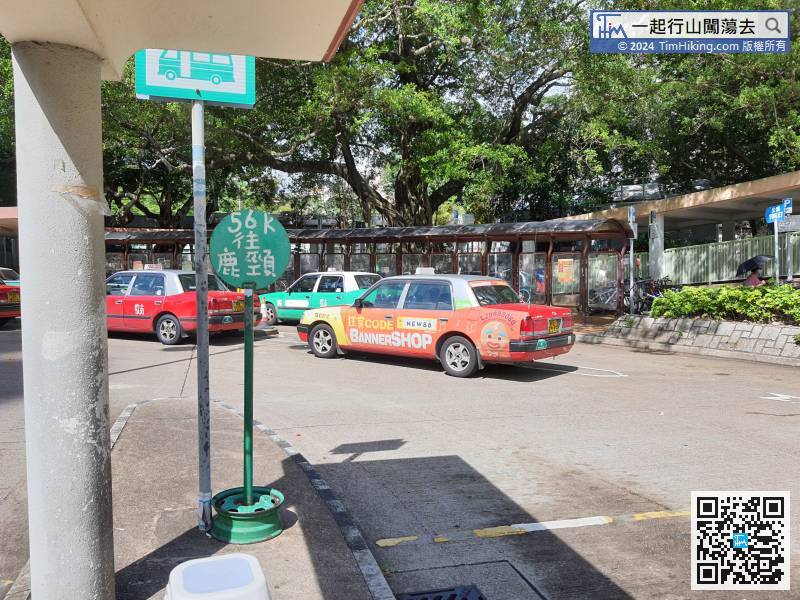
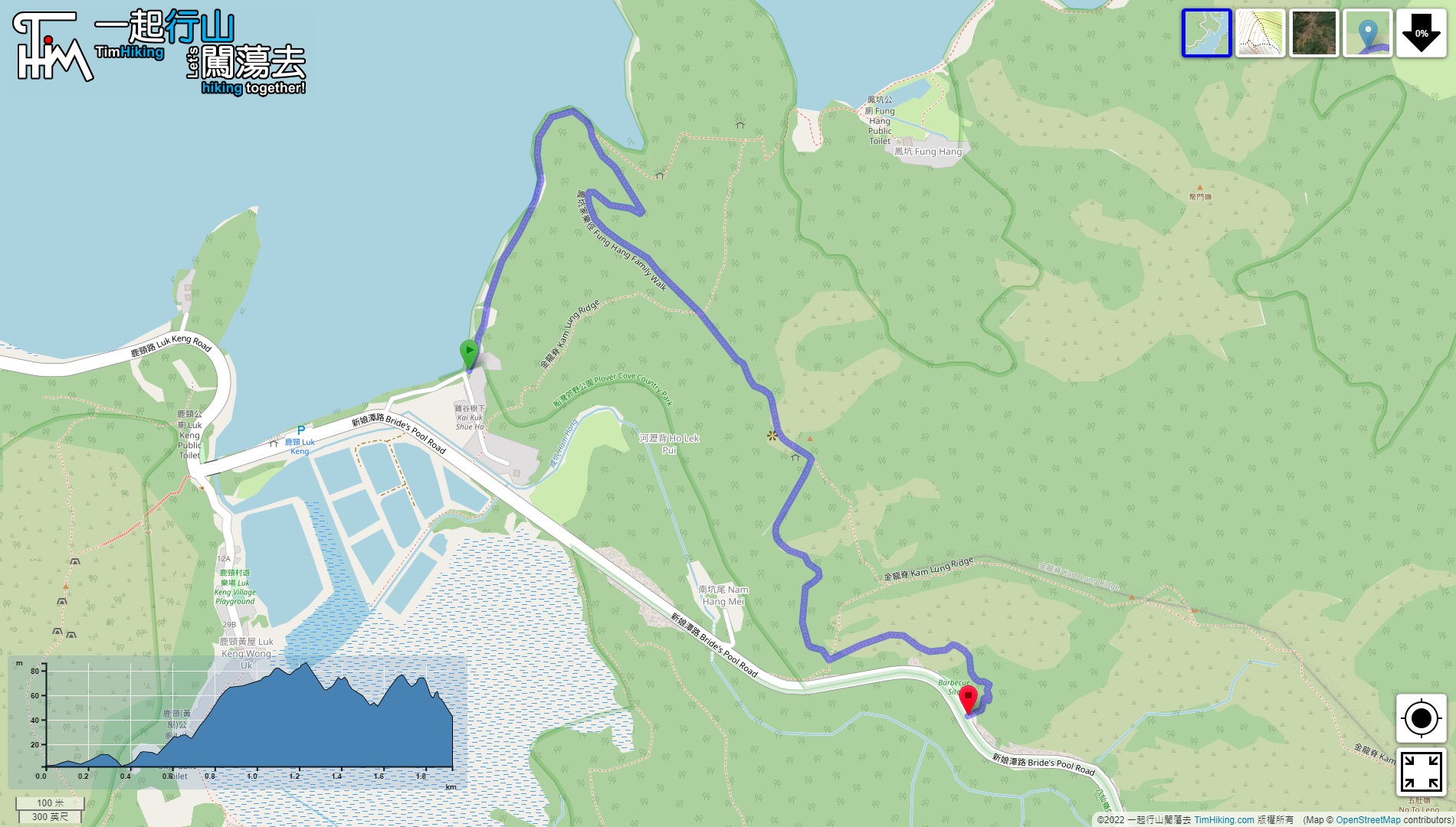
The starting point is in Luk Keng. You can take the minibus 56K from Tai Wo Station.
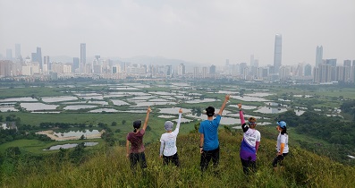
 12︰and can see the ecology of the wetlands along the coast.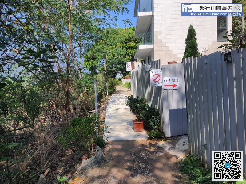
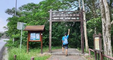
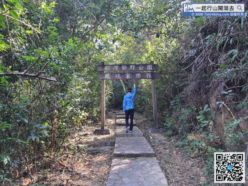
The Fung Hang Family Trail starts here, first follow the signs to Fung Hang to reduce the impact on the villagers.
19︰After 5 minutes, come to another fork,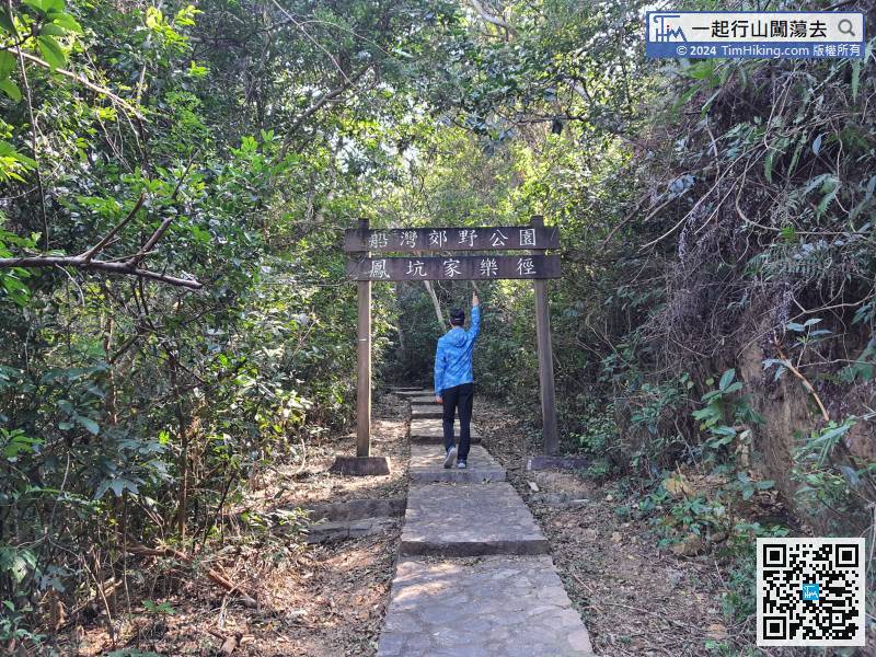
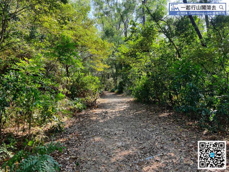
Cross the big archway of the Fung Hang Family Trail and start going up the mountain.
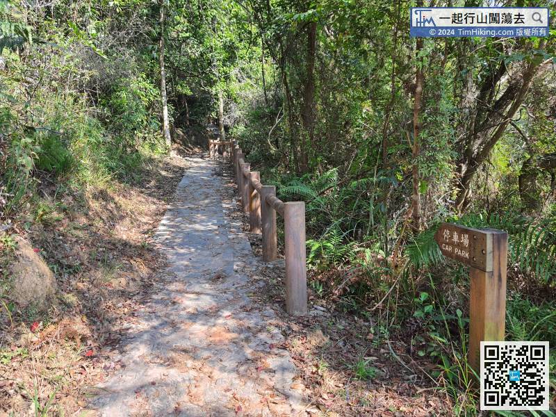
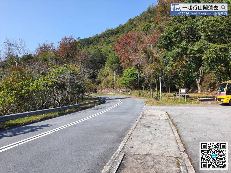
The transport at the exit is not very convenient, need to turn right back to Luk Keng.