


 Recommend YouTube


| View : |  | ||
| Difficulty : |  | ||
| Path : | |||
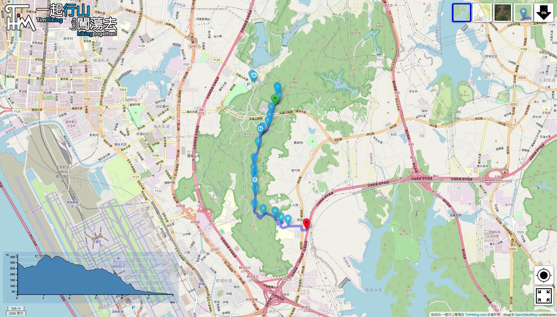
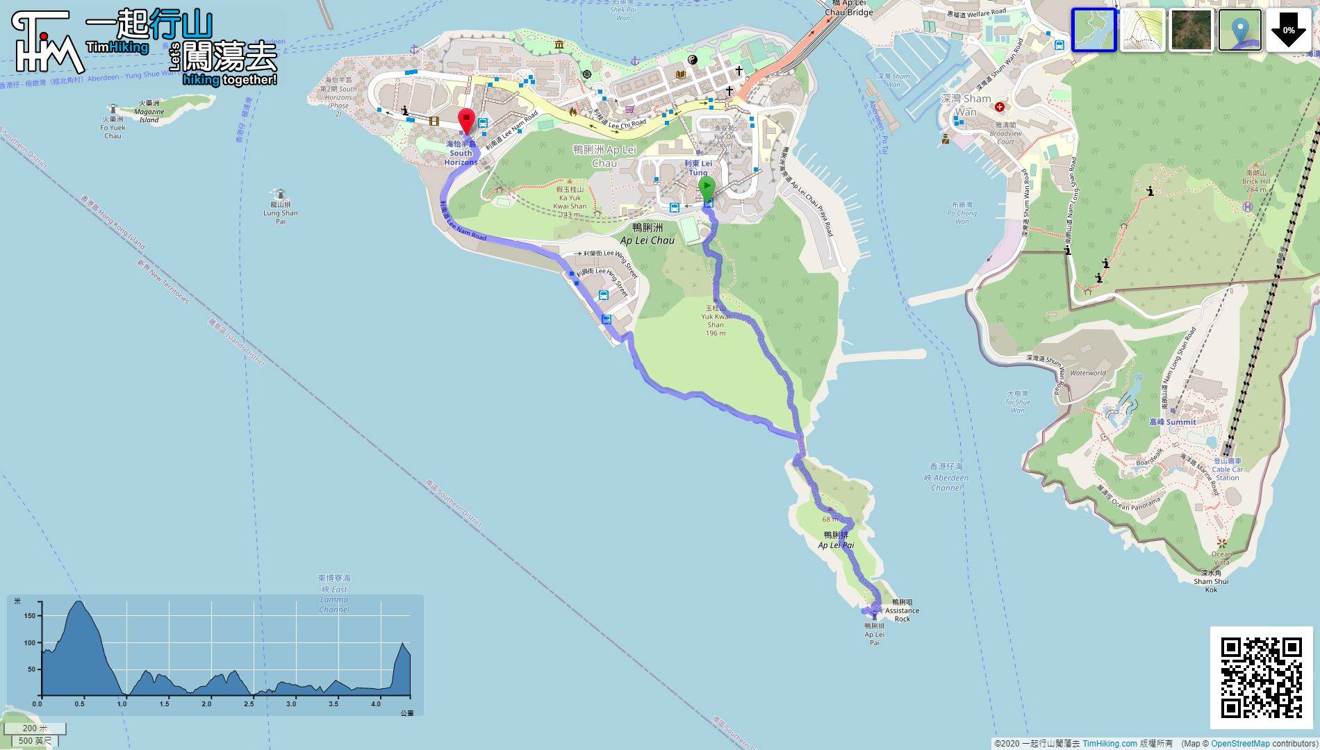
| Length : | 6km | ||
| Time : | 3hours | ||
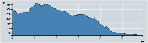 | |
| Ascent : 342m | Descent : 660m |
| Max : 368m | Min : 26m |
| (The accuracy of elevation is +/-30m) | |

 Store
Store
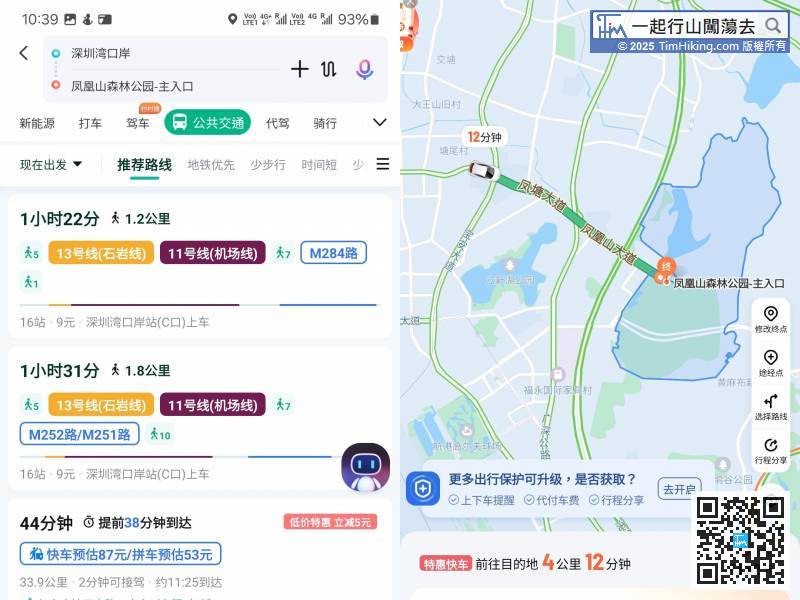
First, take a bus to Fenghuang Mountain Forest Park. You can take the subway to Tangwei Station on Line 11, and then transfer to bus M284 to get there.
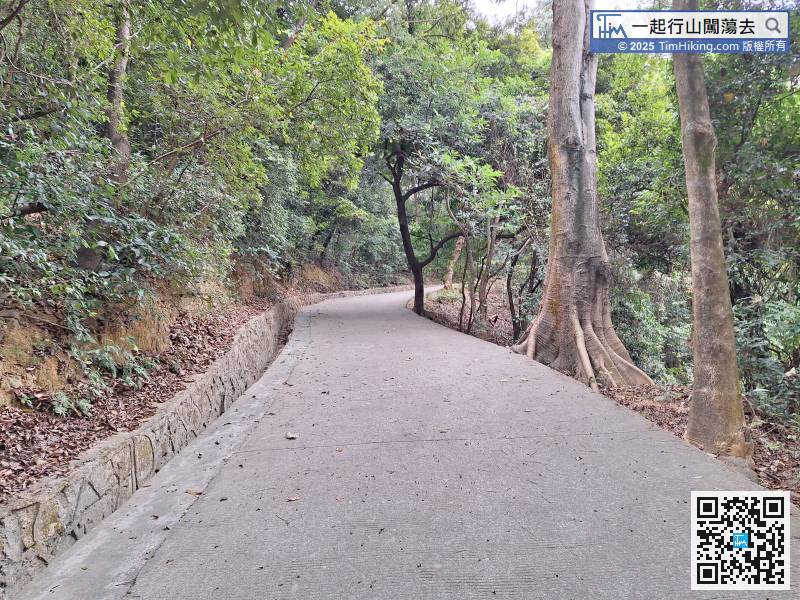
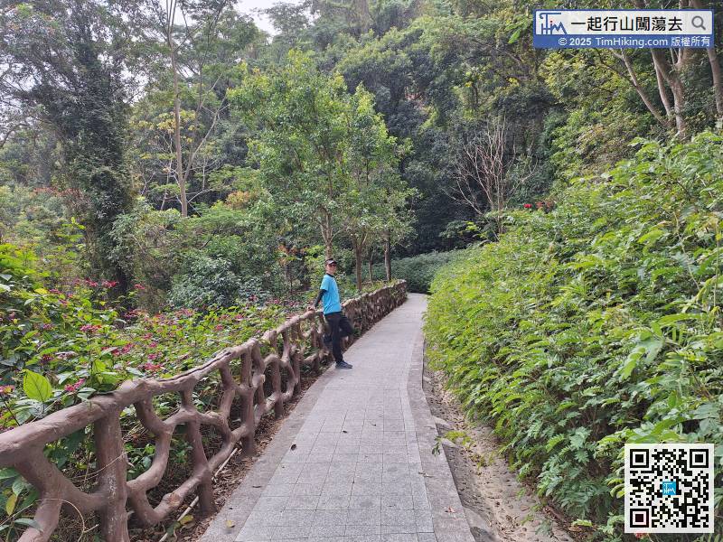
This section starts from No.1 Hiking Trail. The first 5 minutes will be a slope.
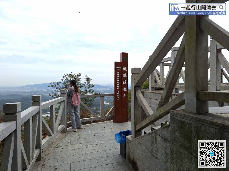
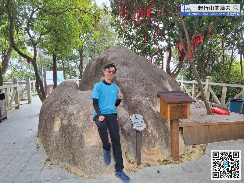
Feiyunding is the starting point of Lantau Trail
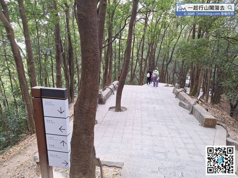
There are many types of signposts. Go in the direction of the Wang Yan Building.

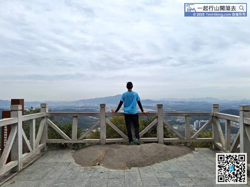
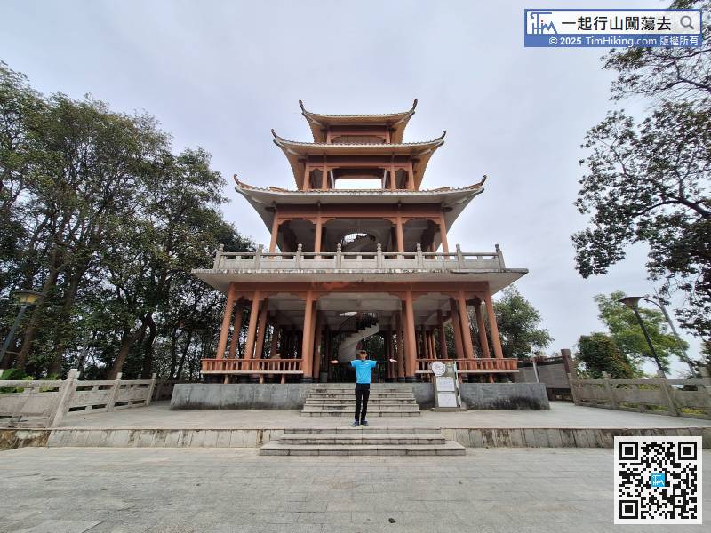
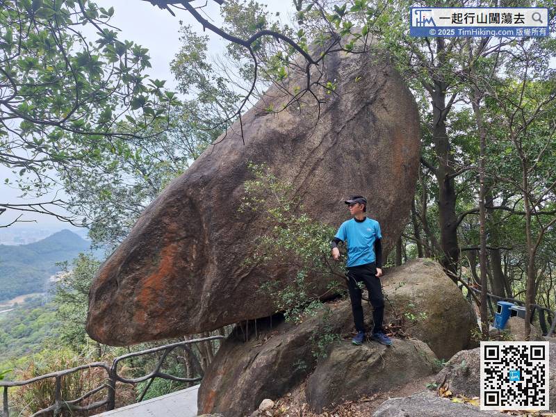
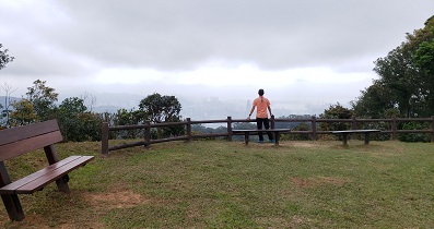
Before I knew it, I arrived at Fenghuang Mountain Top Wang Yan Building.
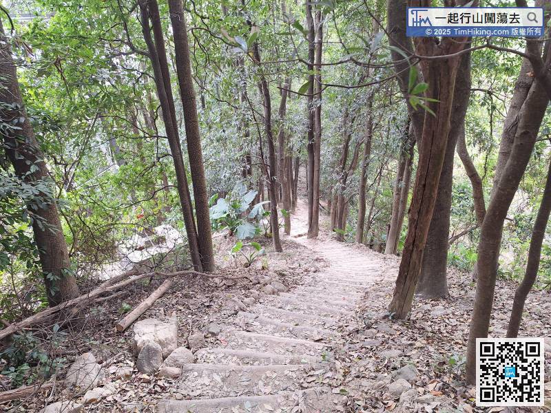
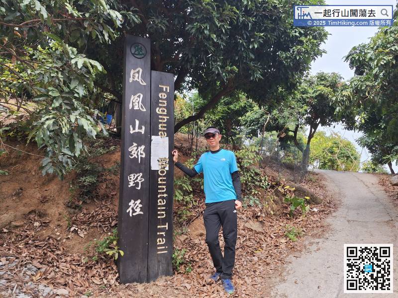
This section is like a demonstration trail.
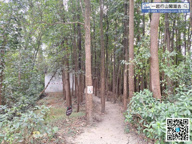
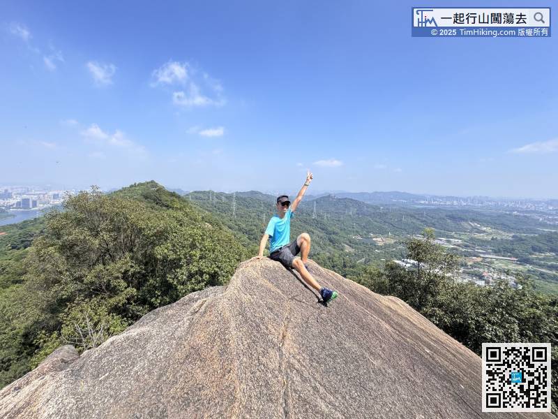
Leaving from the other end,
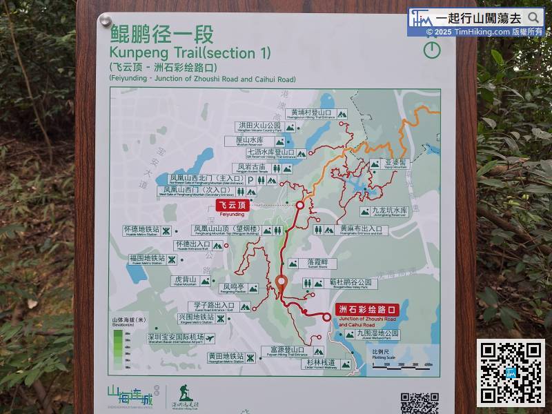
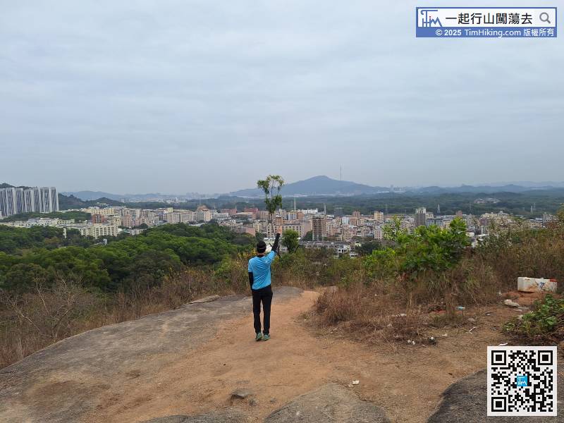
It is important to read the map. Note that at the next fork in the road, you need to turn left and go down the mountain to the Junction of Zhoushi Road and Caihui Road.
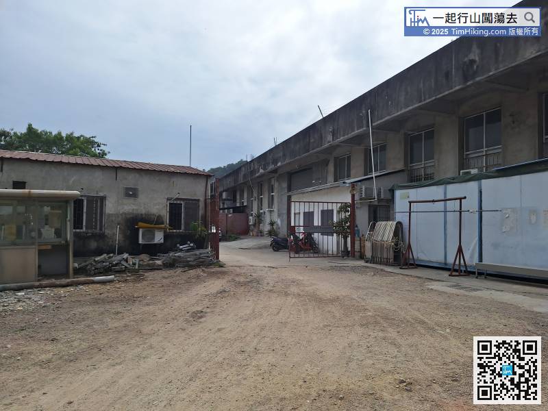
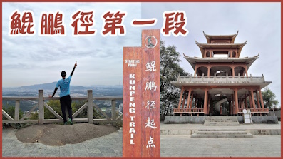
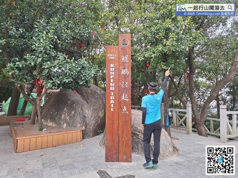
There are still 1,310 meters to the end of Kunpeng Trail (Section 1). First, you need to pass through a gate,


