


 Recommend YouTube


| View : |  | ||
| Difficulty : |  | ||
| Path : | |||
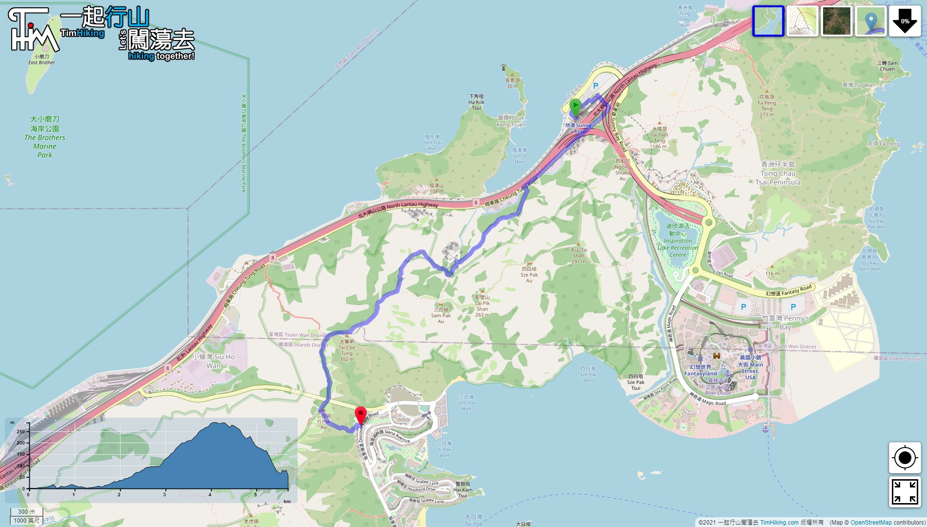
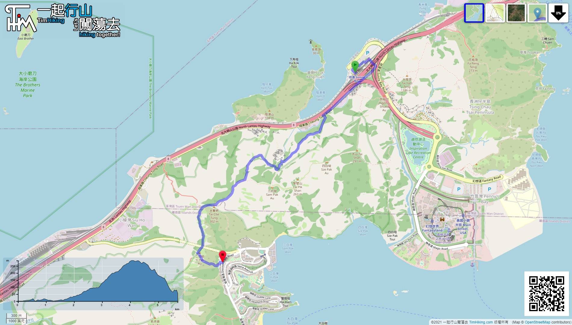
| Length : | 5.8km | ||
| Time : | 3hours | ||
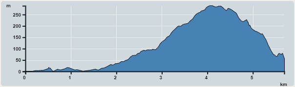 | |
| Ascent : 409m | Descent : 358m |
| Max : 288m | Min : 0m |
| (The accuracy of elevation is +/-30m) | |


 14︰pay attention to the intersection on the left,
 20︰Turn left at the front,
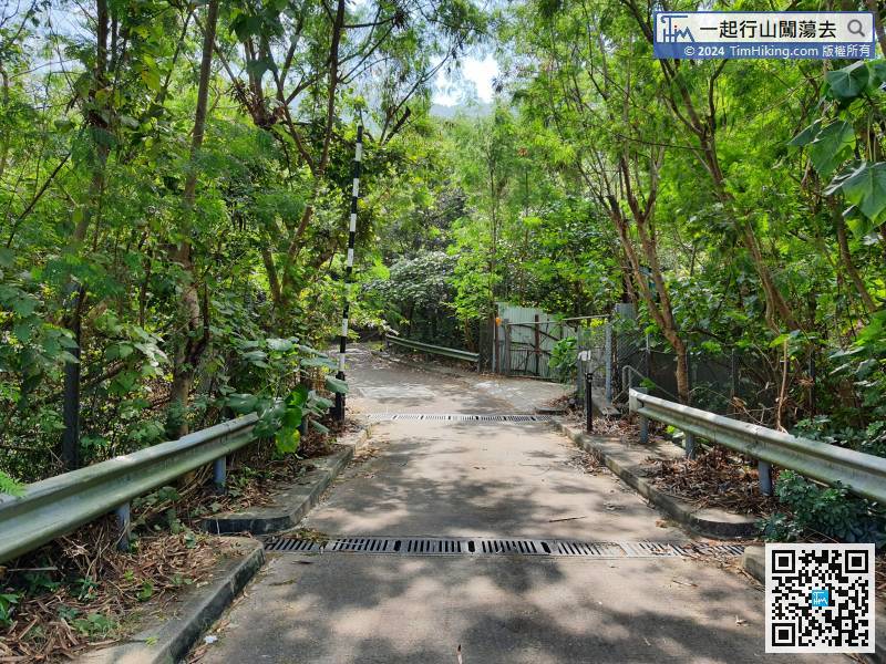 29︰At the fork of the road, must pay attention to the ribbon, go straight is the way to Sam Pak Au,
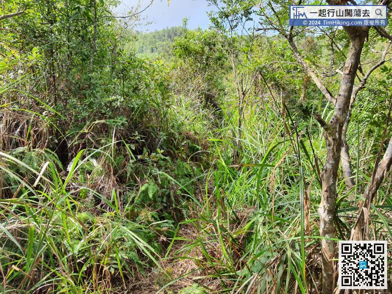
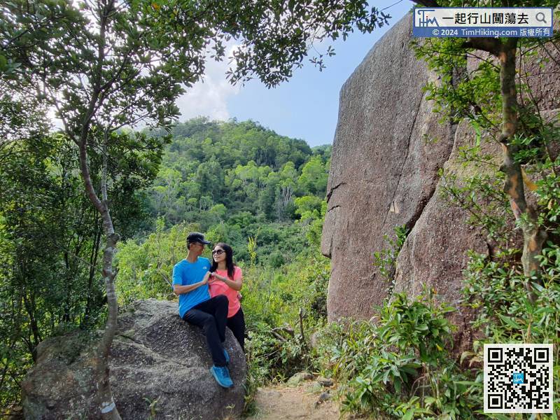
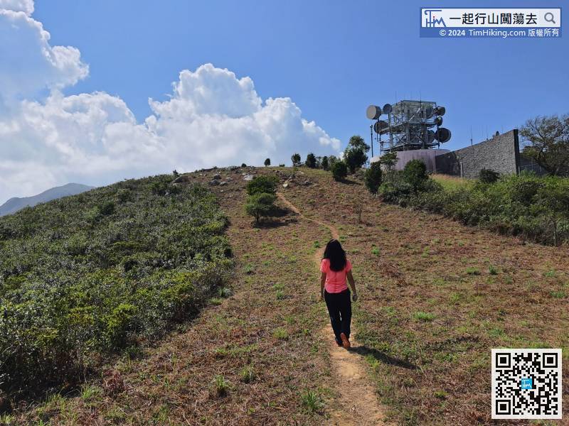
The grass in the first section is not too dense, and the road embryo is still very clear,
38︰Walk for about 20 minutes, will see the Wise Old Man Rock.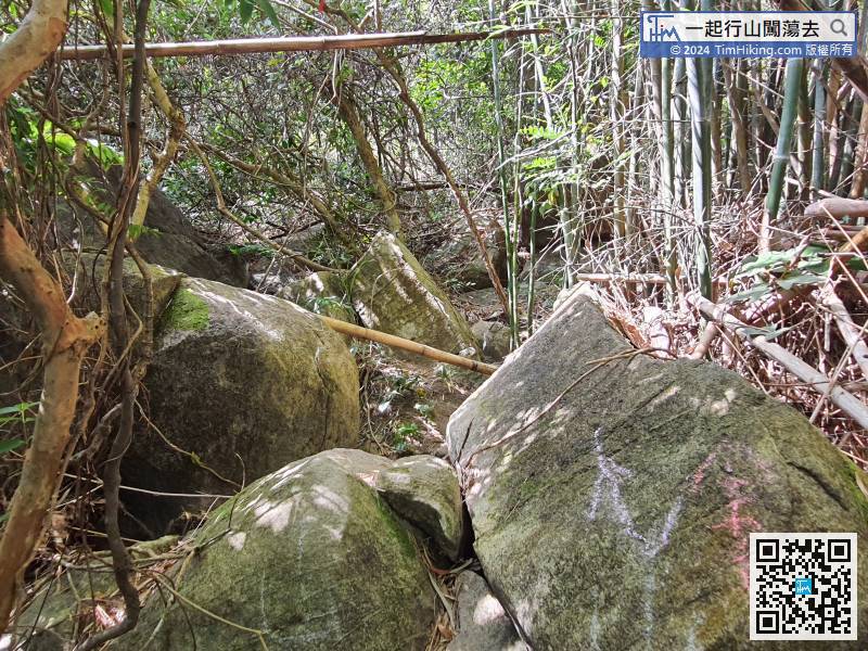 50︰When reaching an unobvious bifurcation, can easily go straight wrongly. In fact, hikers can find ribbons on the left and in the front.
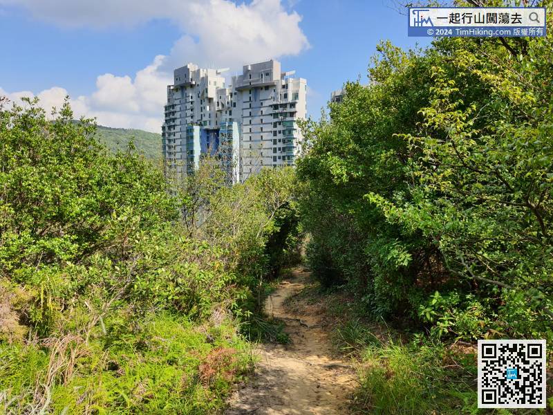
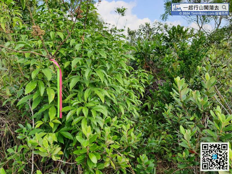 59︰The exit is a large fire-belt,
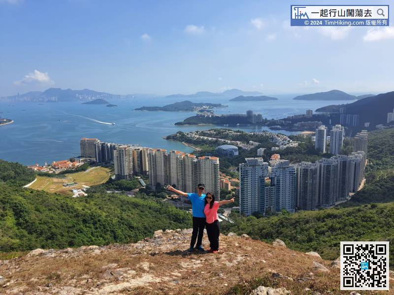
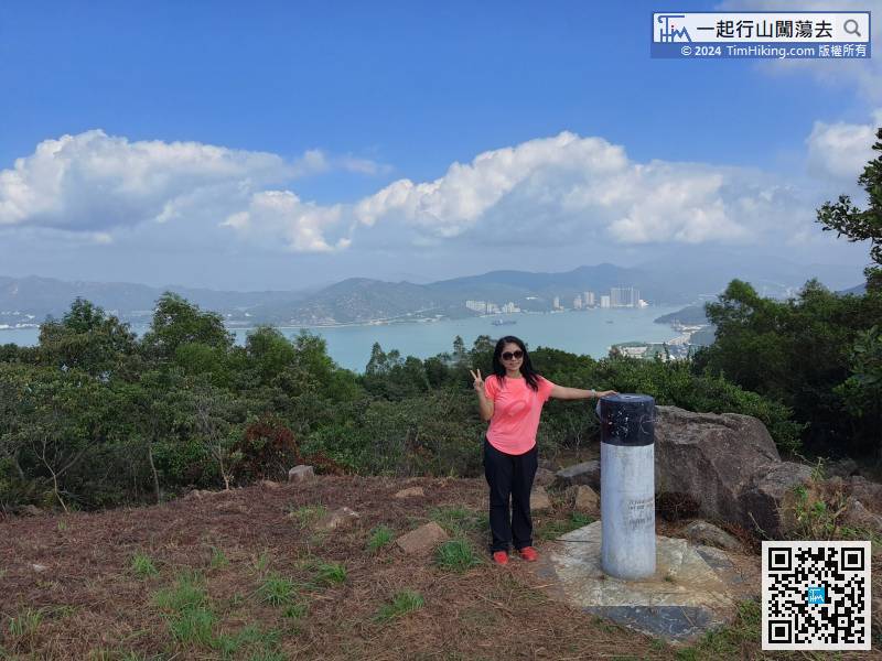
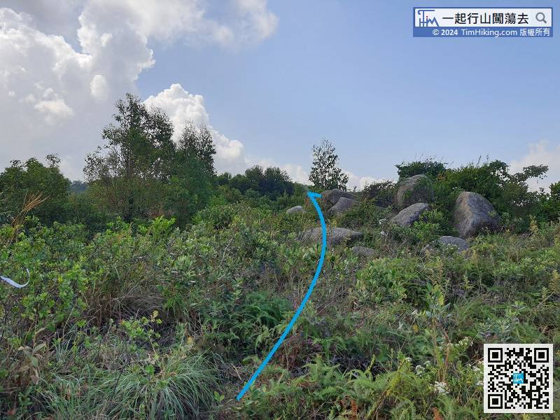 67︰The trigonometrical station is not on the top of the mountain, but just a trigonometrical station.
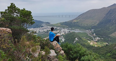
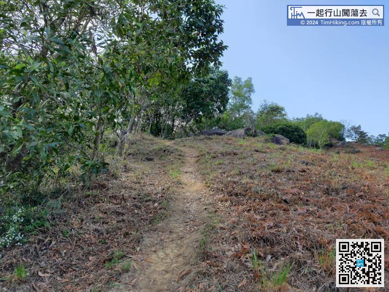 76︰there are mountains, seas, and islands.
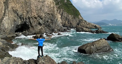
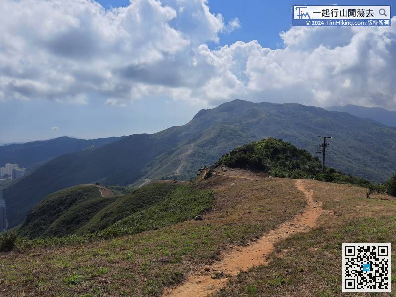


