


 Recommend YouTube


| View : |  | ||
| Difficulty : |  | ||
| Path : | |||
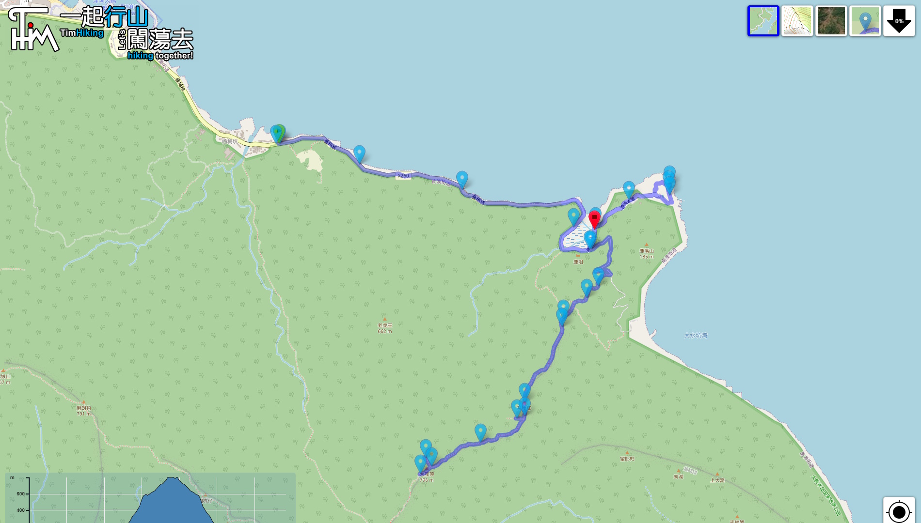
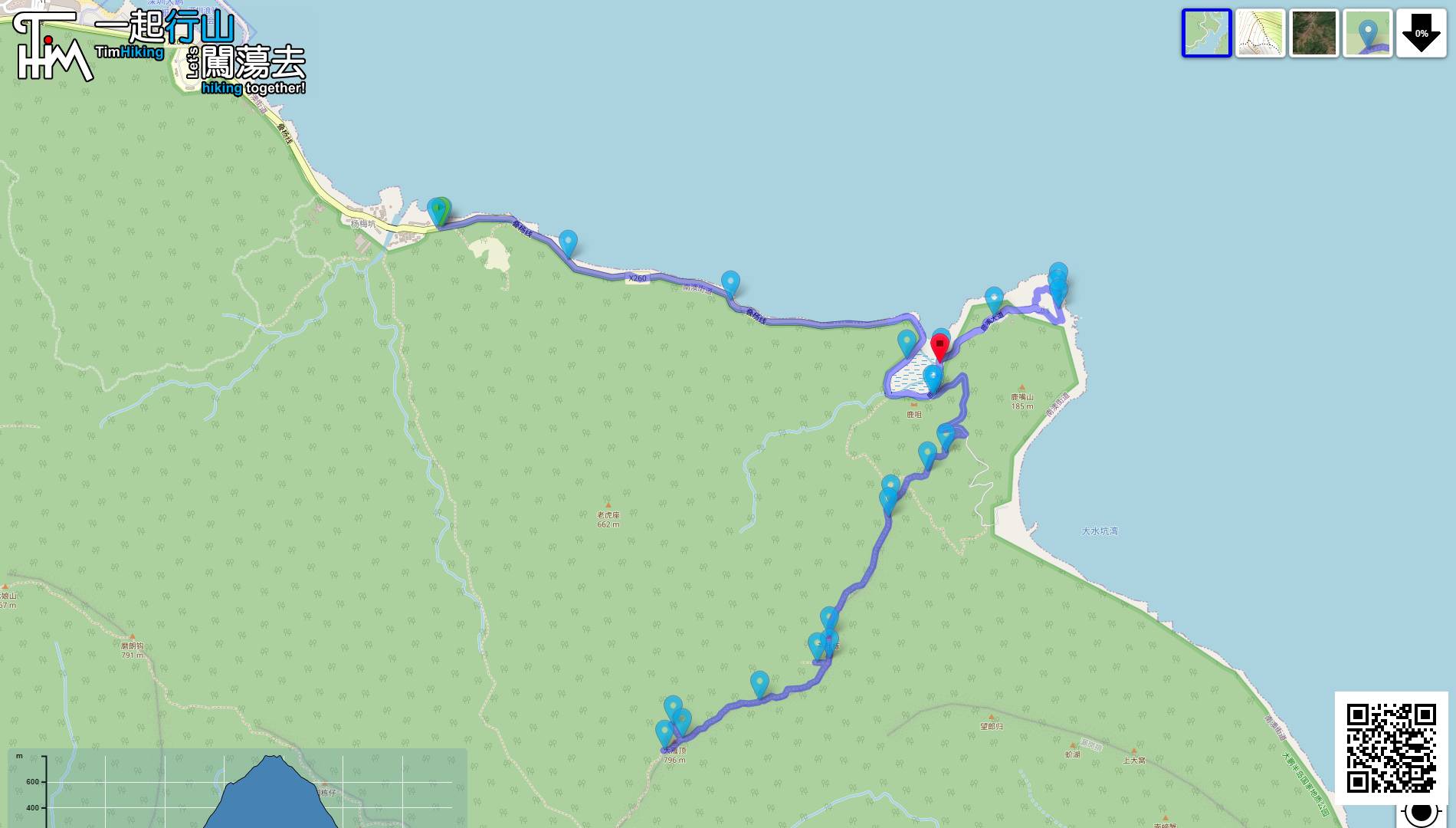
| Length : | 13.7km | ||
| Time : | 7½hours | ||
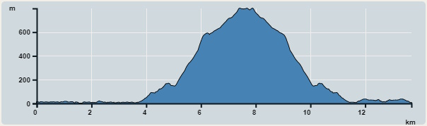 | |
| Ascent : 1,160m | Descent : 1,167m |
| Max : 799m | Min : 0m |
| (The accuracy of elevation is +/-30m) | |


 Luzuivilia
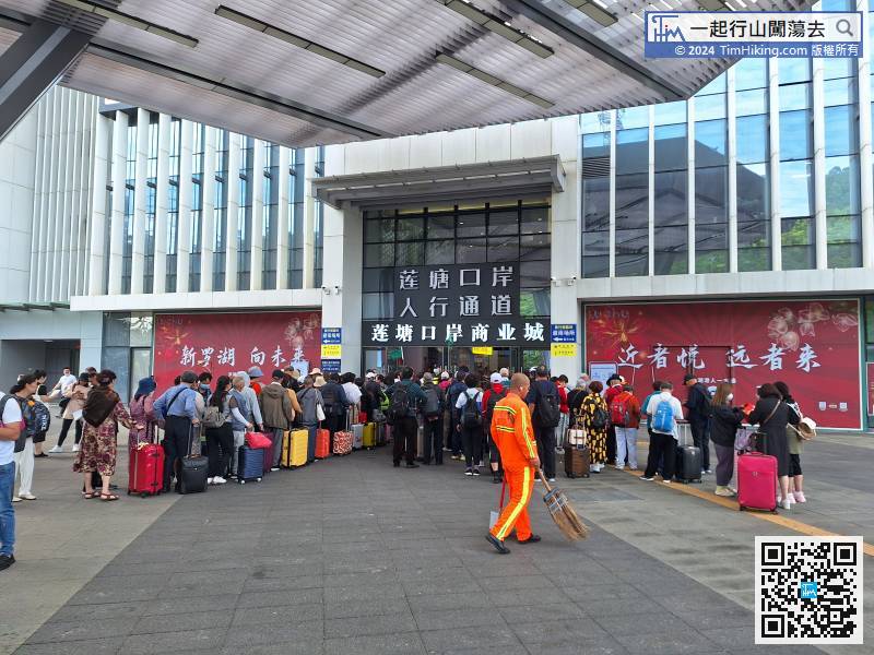
As same as Wutong Mountain, MeiShanJian and Qiniang Mountain, it is also the first pass to Liantang Port.
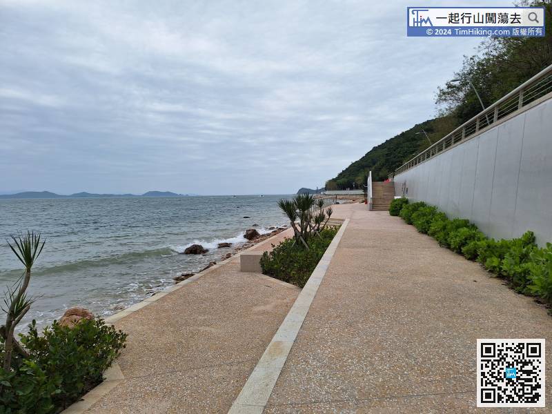
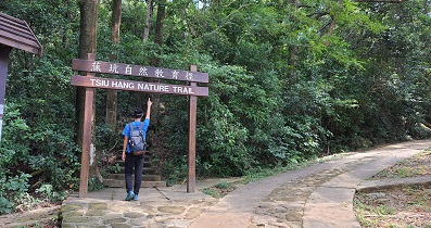
You may not know it. Strolling Path has just been repaired for less than a year, and it was reopened in September 2022.
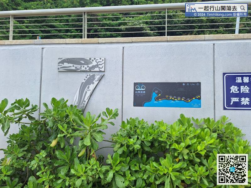
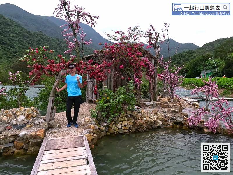
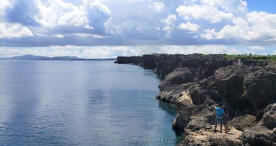
Almost at the end of Sea Port, come to Sea Port No.7,
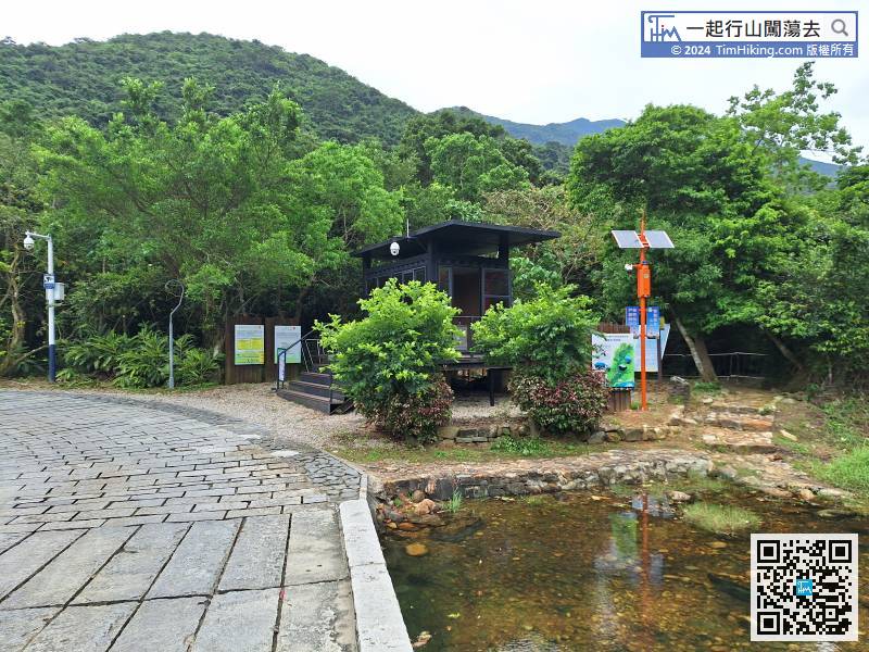
Come to a small pool, and behind it is one of the trailheads Starting Trail 1, but generally we don't choose this path to the mountain, because we wouldn't to start by steep steps, and it will skip the first two Viewing Platform.
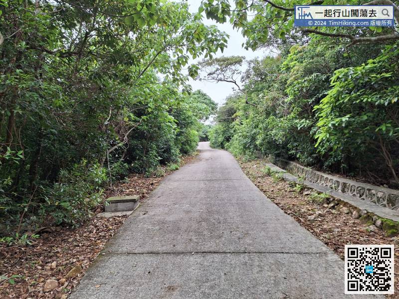
When everything is ready, the mountaineering journey will officially begin. Starting Trail 2 is a wide concrete slope at the beginning, which is different from the steps of Starting Trail 1.
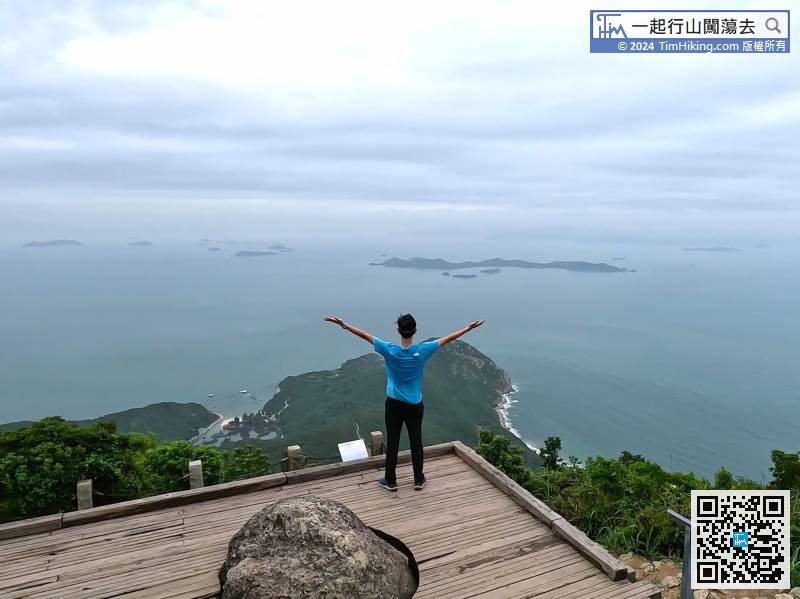
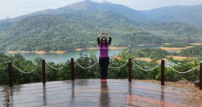
Before falling to the bottom of the mountain, you will see Viewing Platform No.2.
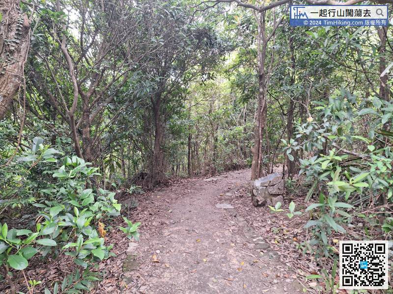
The infinite steps stop for a while and connects to a section of flat road.
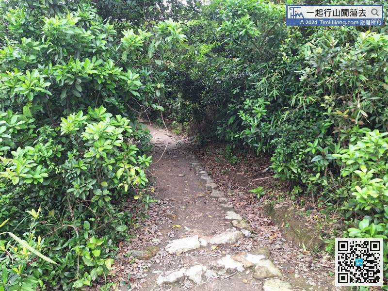
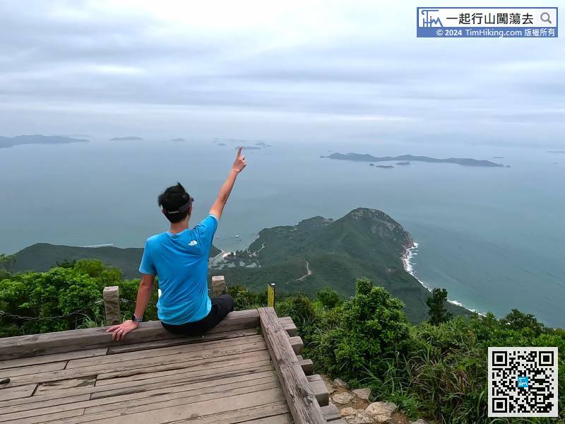
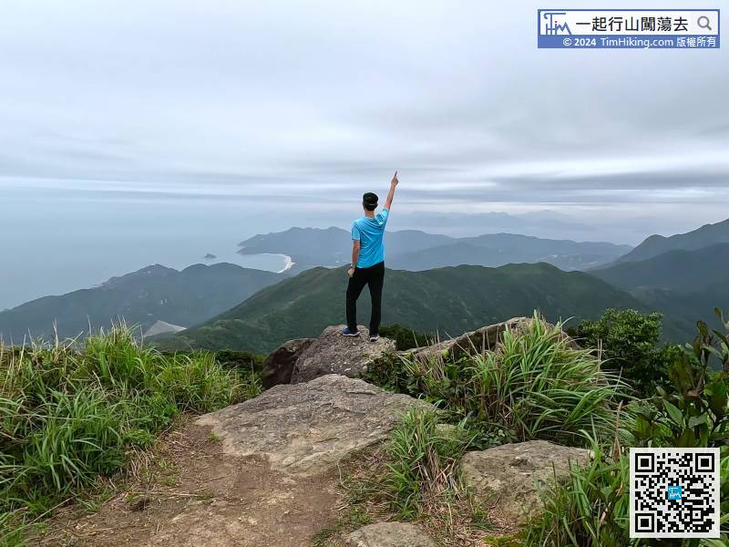
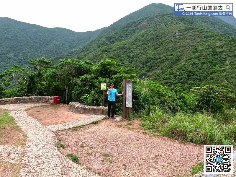
After leaving Viewing Platform No.3, the mountain trails are much easier to walk.

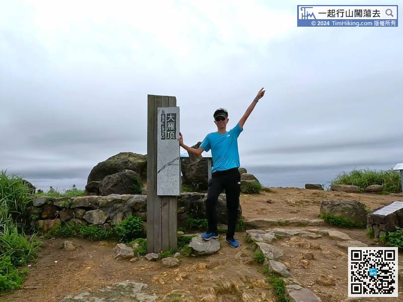
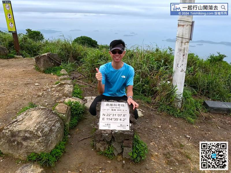
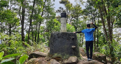
Dayan Peak has a famous brand wooden pile
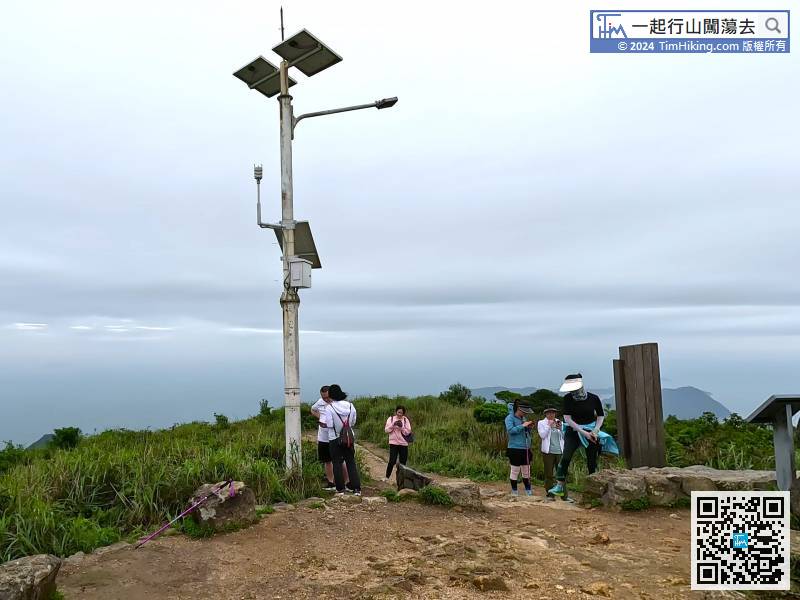
Okay! The whole Luyuan Route of Dayan Peak has been completed,


