


 Recommend YouTube


| View : |  | ||
| Difficulty : |  | ||
| Path : | |||
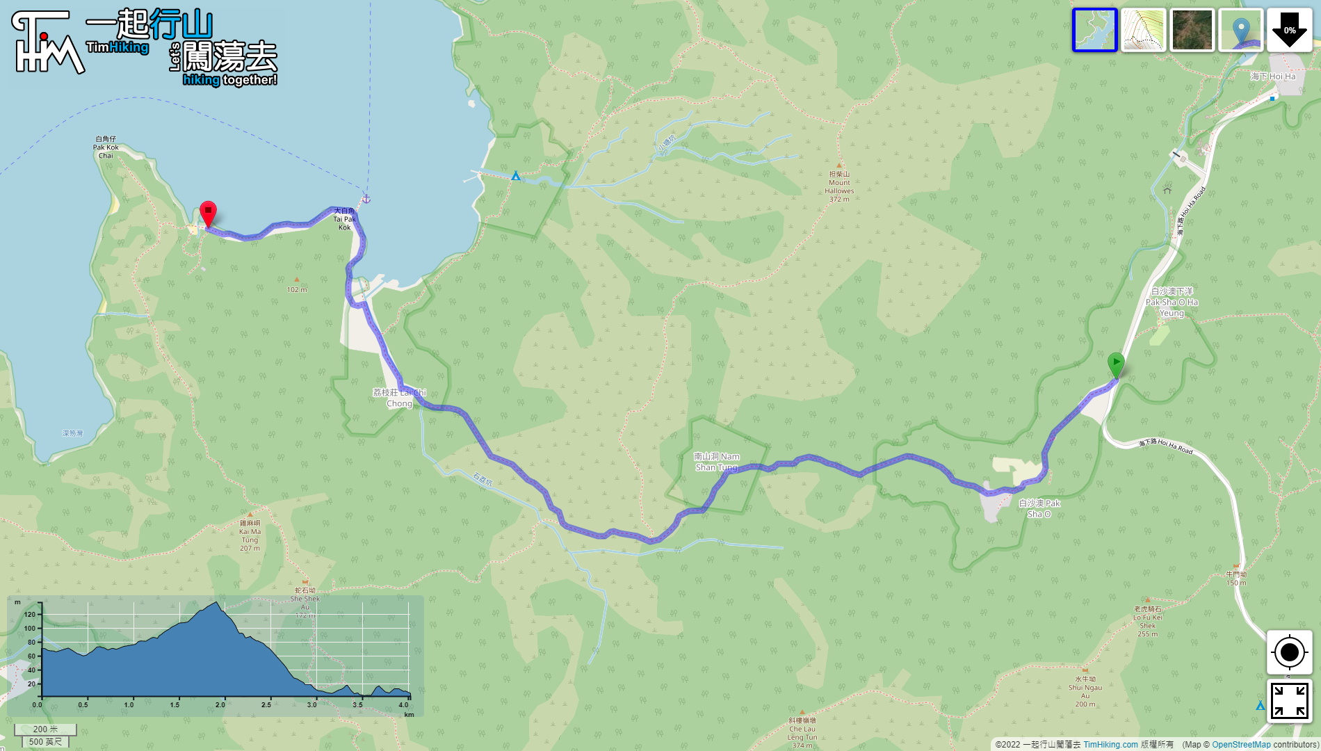
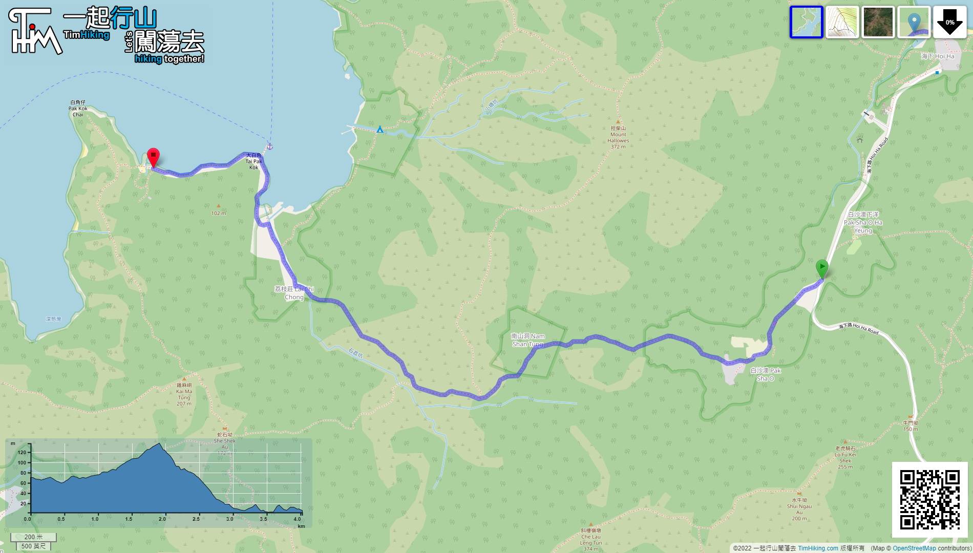
| Length : | 4.1km | ||
| Time : | 1½hours | ||
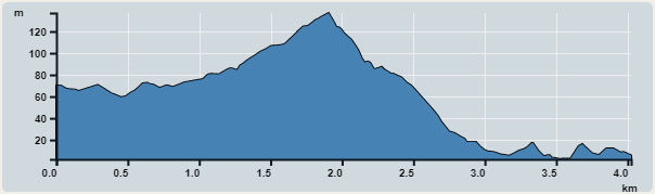 | |
| Ascent : 125m | Descent : 195m |
| Max : 137m | Min : 2m |
| (The accuracy of elevation is +/-30m) | |


 19︰will see a fork on the left,
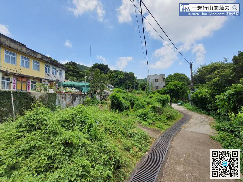
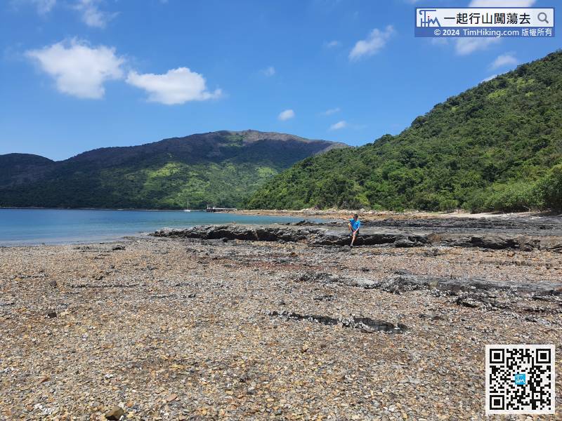
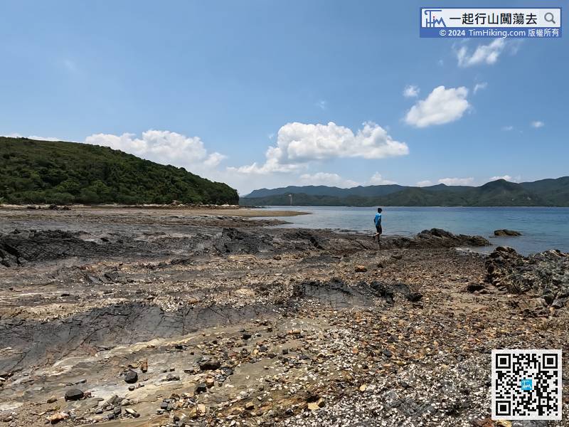
Lai Chi Chong Village is very peaceful, most of them are tenants, and there is no store.
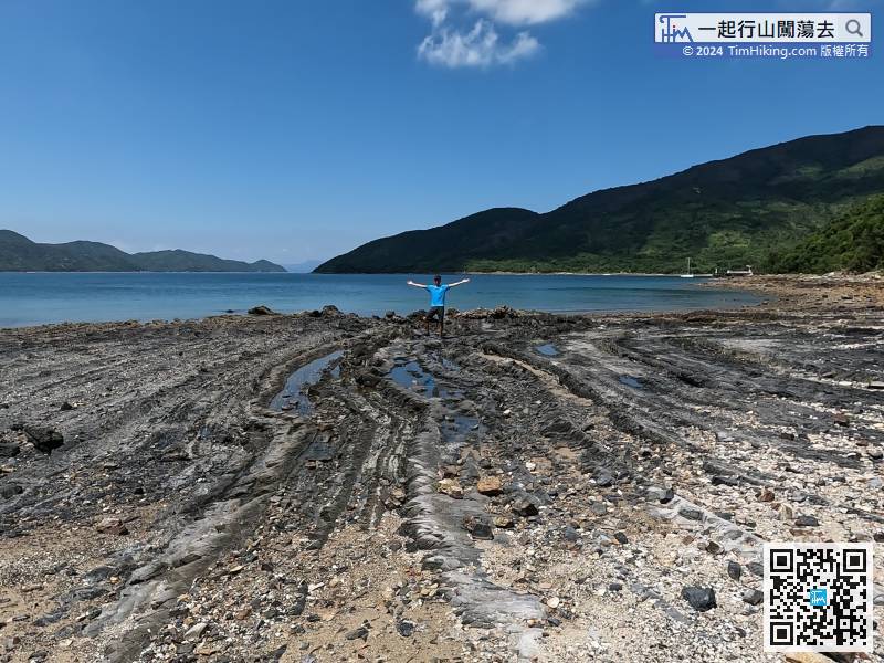
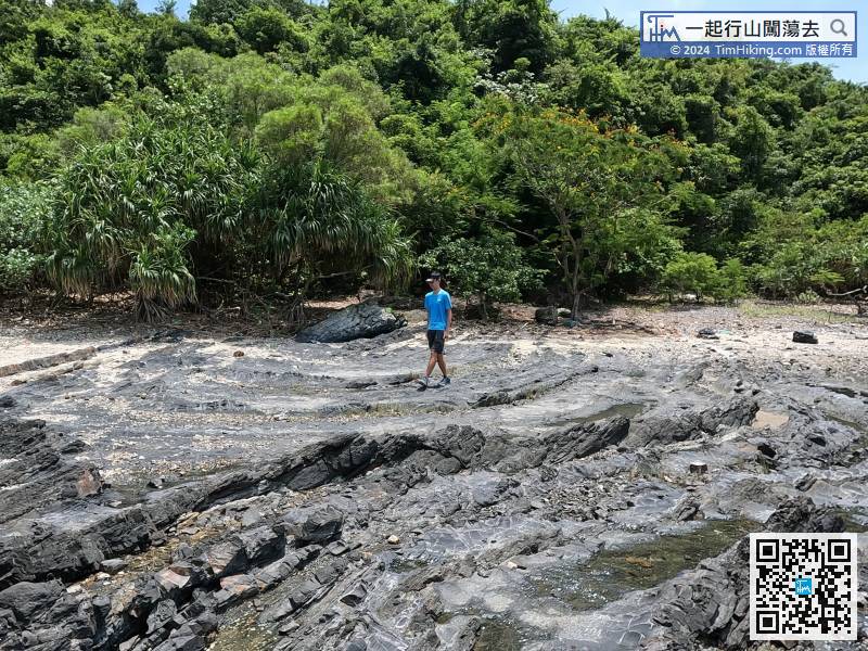
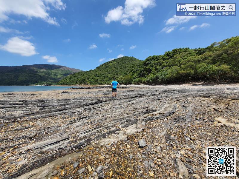
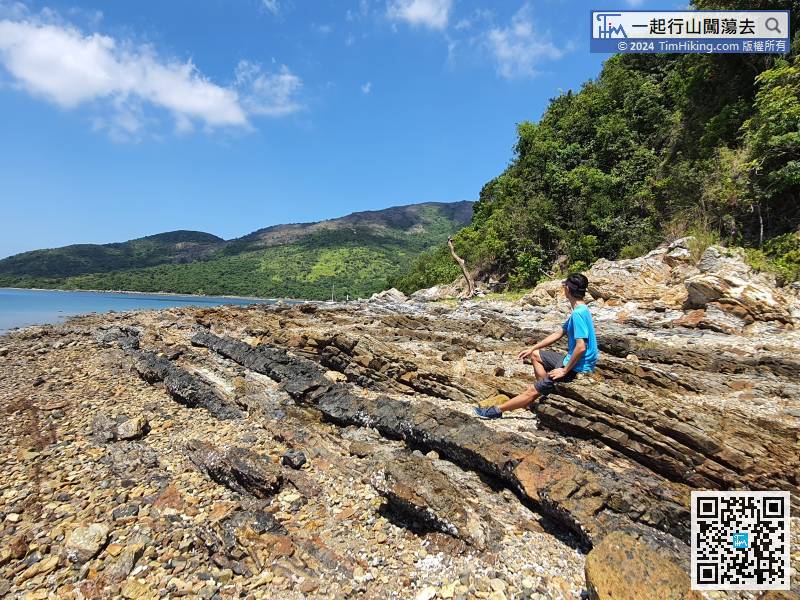
 47︰Some small plates have been squeezed to the point of being exposed,
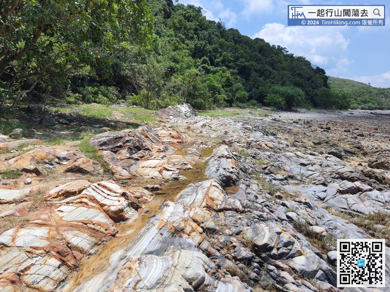


