


 Recommend YouTube


| View : |  | ||
| Difficulty : |  | ||
 (Backtrack) | |||
| Path : | |||
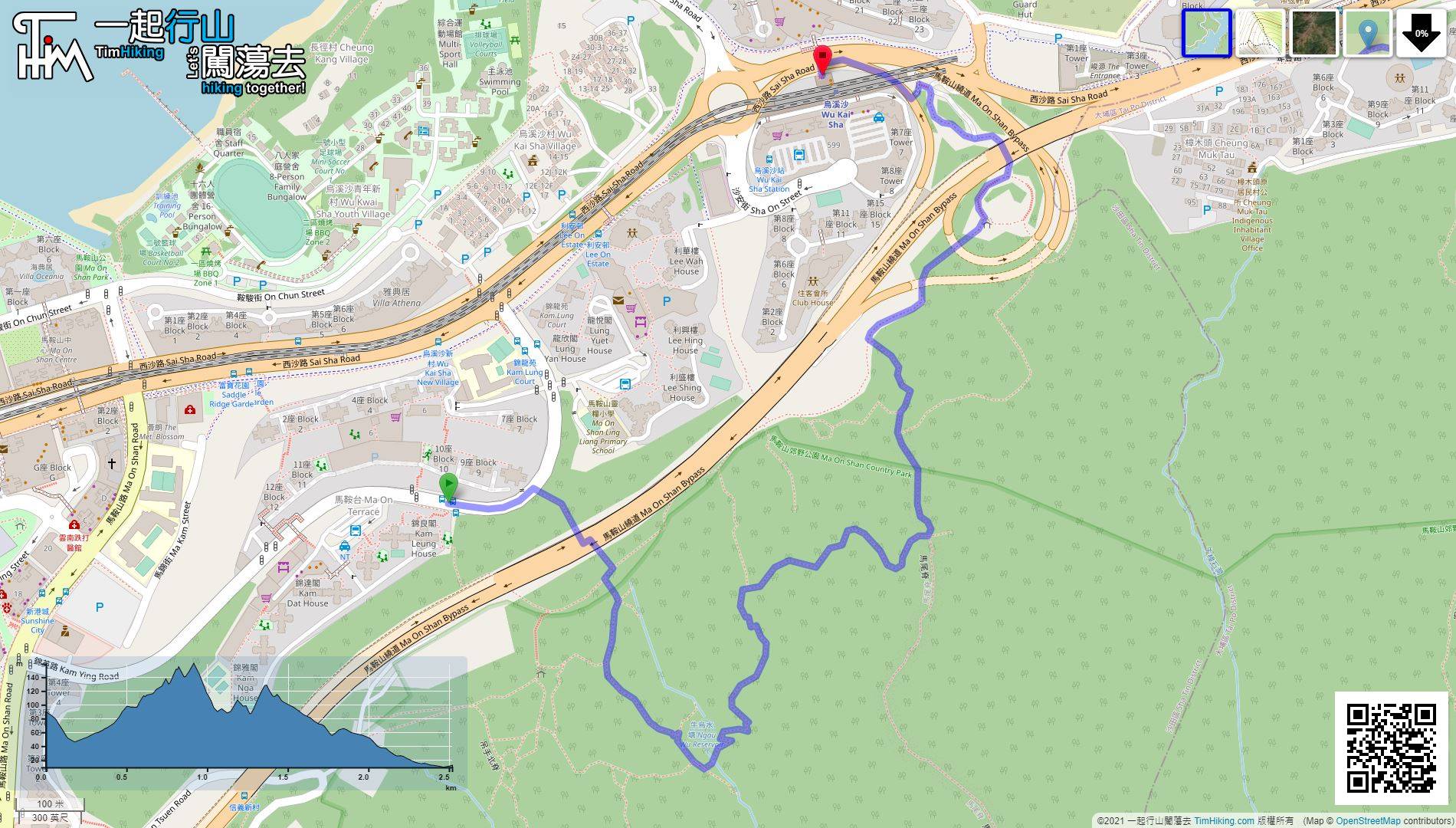
| Length : | 2.7km | ||
| Time : | 1¼hours | ||
 | |
| Ascent : 240m | Descent : 297m |
| Max : 159m | Min : 9m |
| (The accuracy of elevation is +/-30m) | |


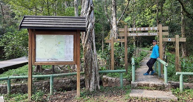
 3︰And then, turn right to the trail at the corner of the road.
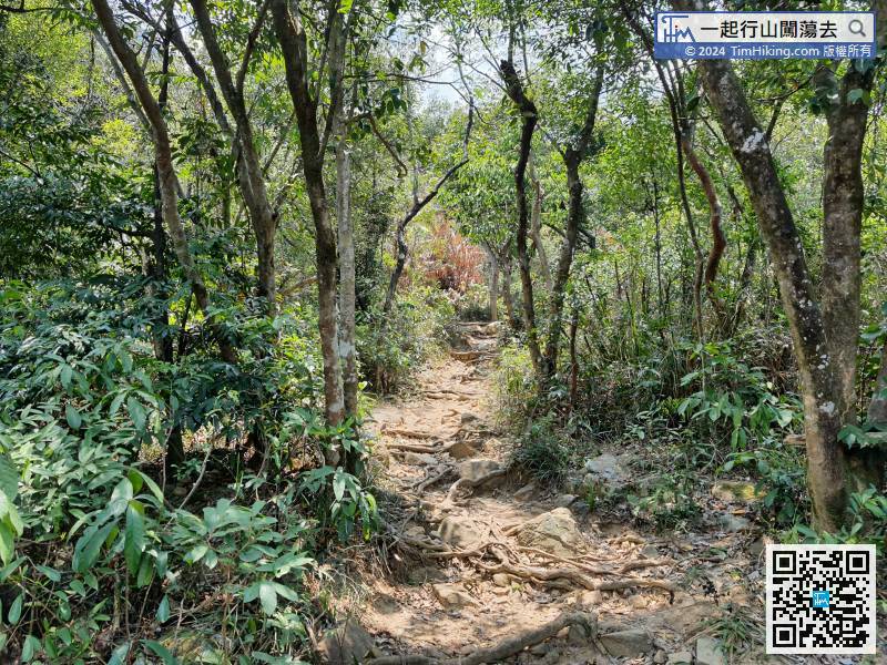
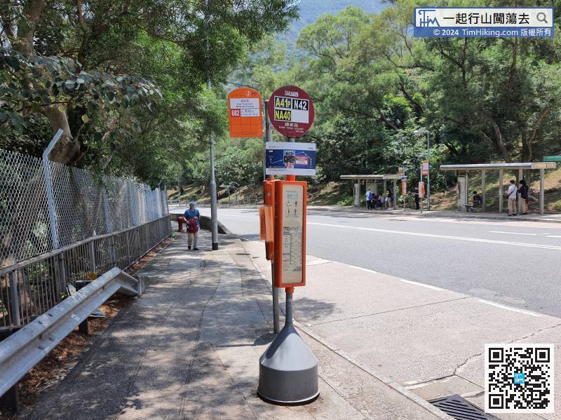 7︰so quickly we reached another bifurcation.
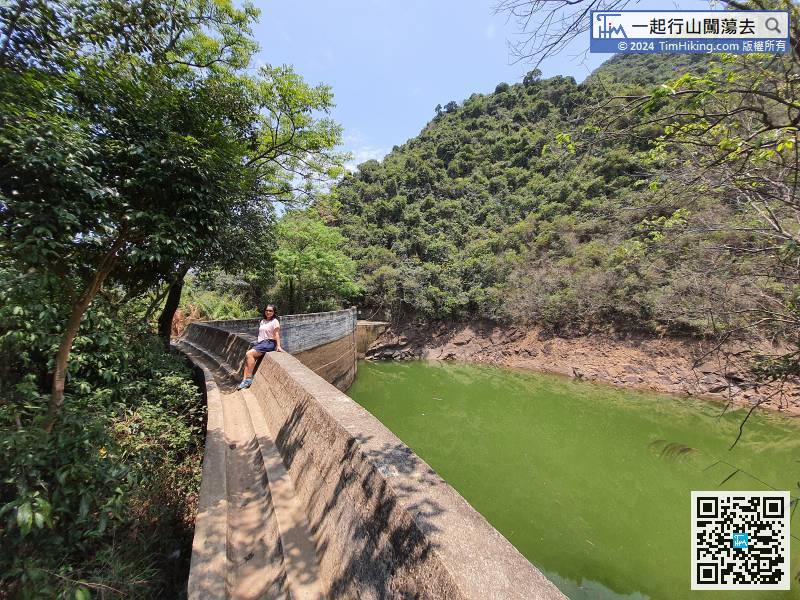
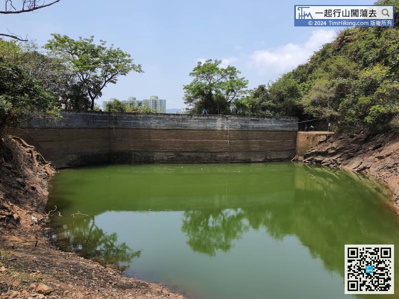
 15︰The dam of Ngau Wu Reservoir is not like a reservoir at all.
 25︰The trail is very slanted. This rugged dirt trail basically require both hands and feet to climb.
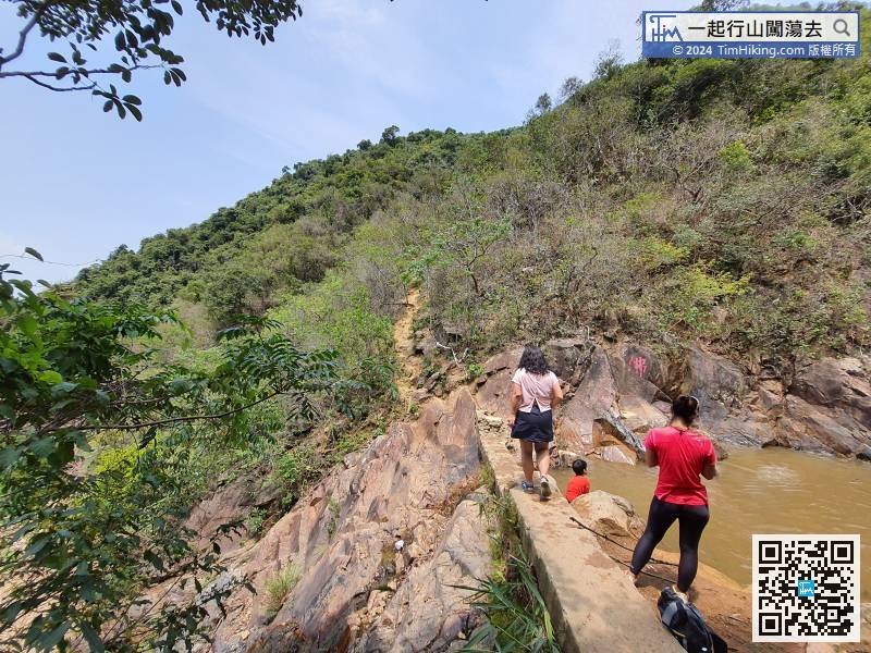 29︰But, there are not many places to encounter an open scenery.
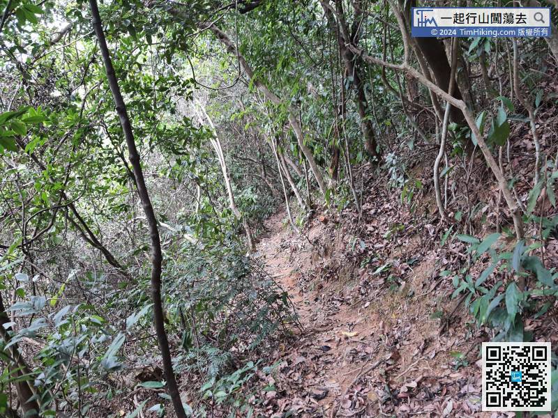 38︰Remember, do not rely too much on the rope, just use it as assistance.
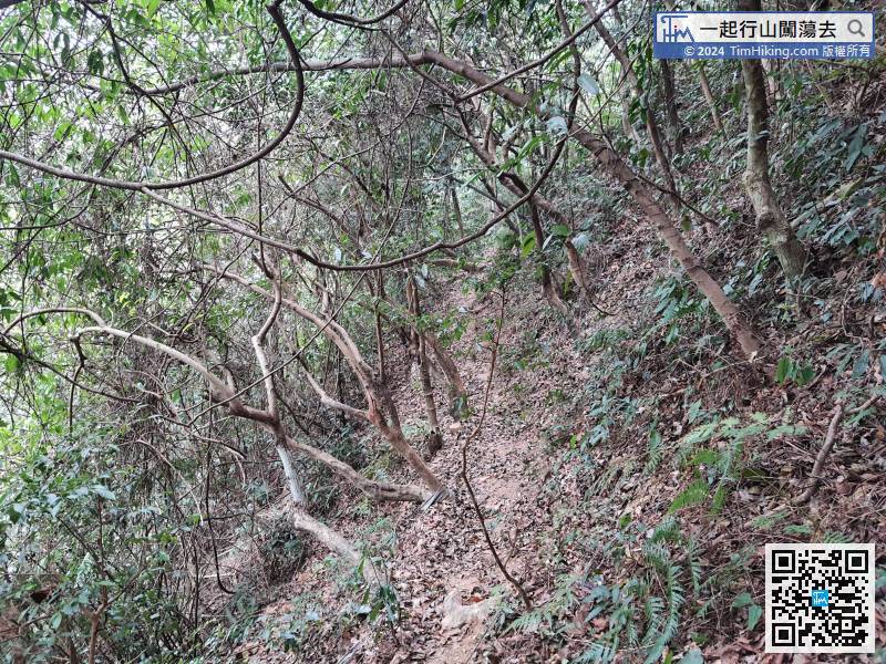 40︰Turn left at Ma Mei Ridge
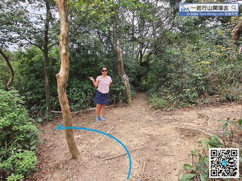


