


 Recommend YouTube


| View : |  | ||
| Difficulty : |  | ||
| Path : | |||
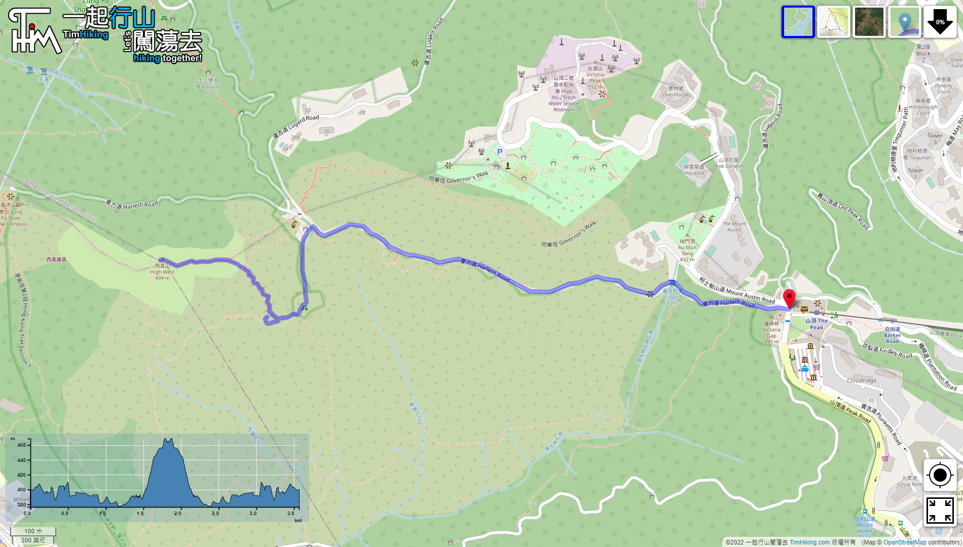
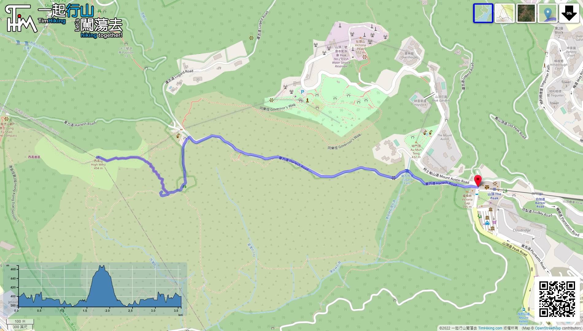
| Length : | 3.6km | ||
| Time : | 2hours | ||
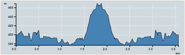 | |
| Ascent : 288m | Descent : 283m |
| Max : 469m | Min : 377m |
| (The accuracy of elevation is +/-30m) | |


Just a little bit ahead, will see a beautiful and big British pavilion, located at Wang Pai Au.
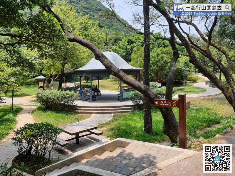
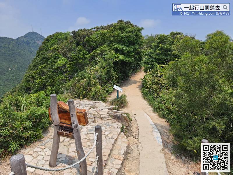
 21︰and pay attention to the barren trail on the left that is relatively flat.
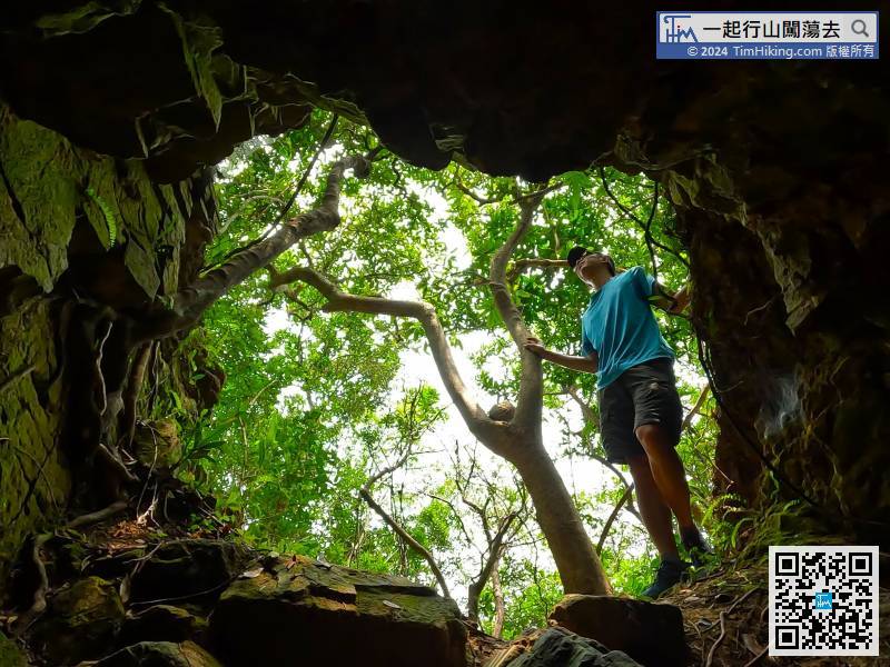
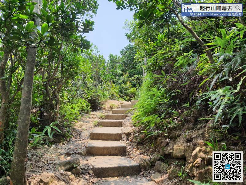 27︰Look to the right, and will see One Tree Cave.
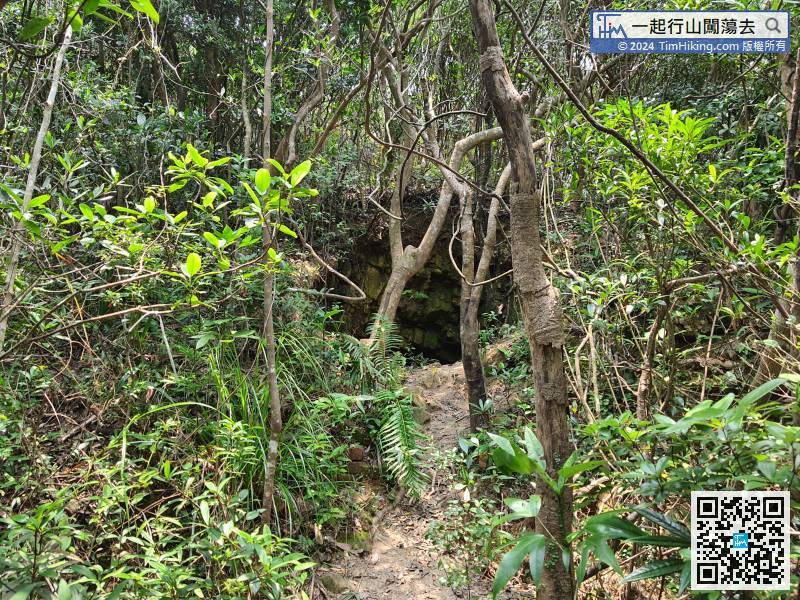
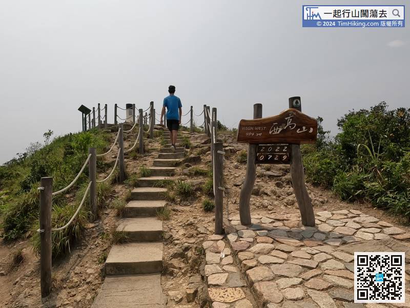
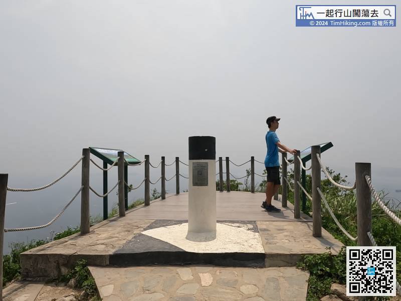
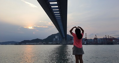
 46︰At the peak, there is a trigonometrical station, with two viewing points and 360-degree view,
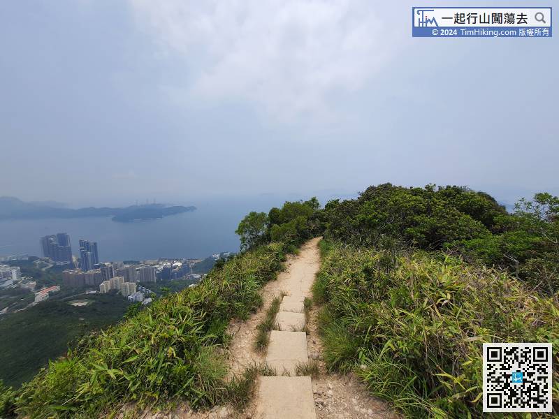


