


 Recommend YouTube

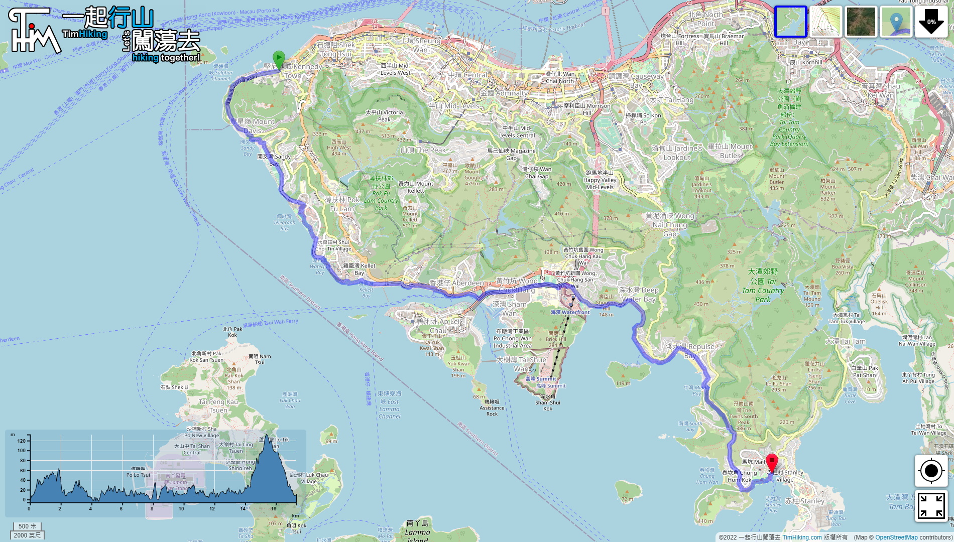

| View : |  | ||
| Difficulty : |  | ||
| Path : | |||
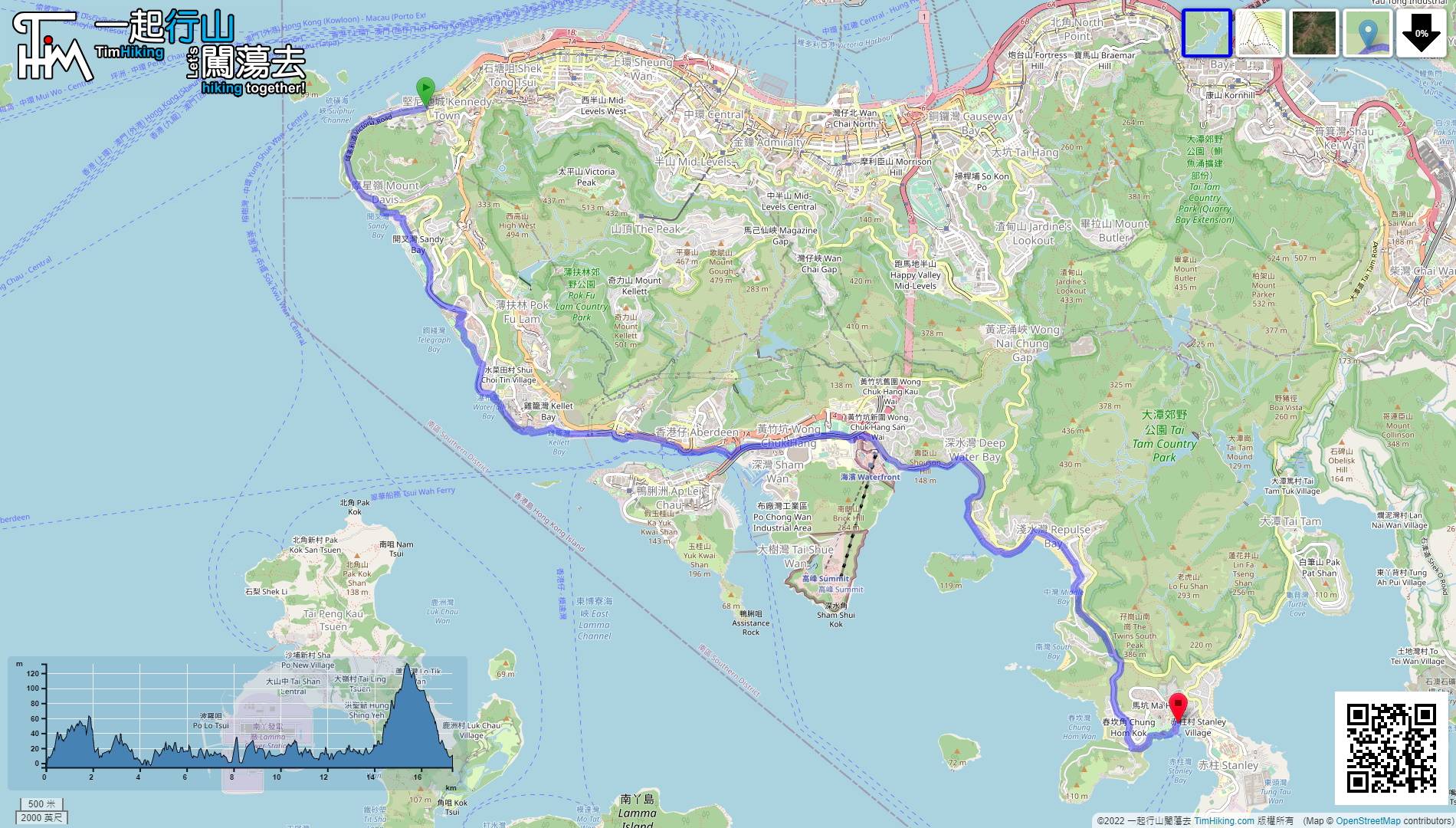
| Length : | 17.4km | ||
| Time : | 5hours | ||
 | |
| Ascent : 711m | Descent : 756m |
| Max : 132m | Min : 0m |
| (The accuracy of elevation is +/-30m) | |


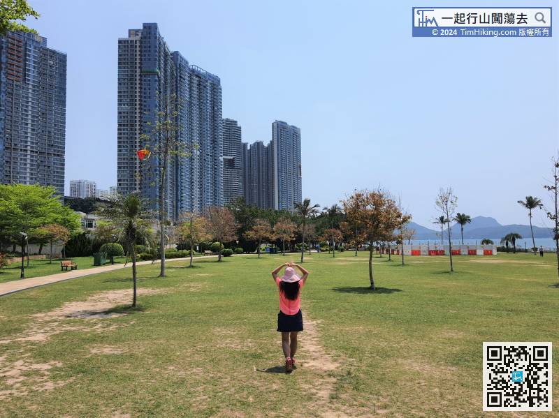
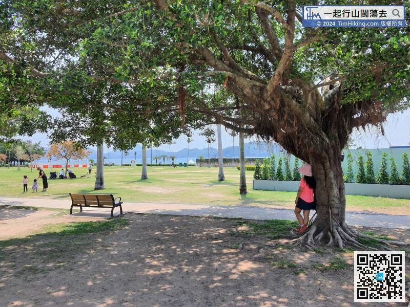
 42︰There is a large grassland inside,
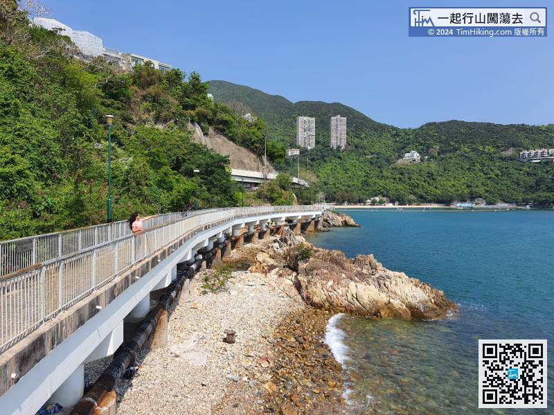
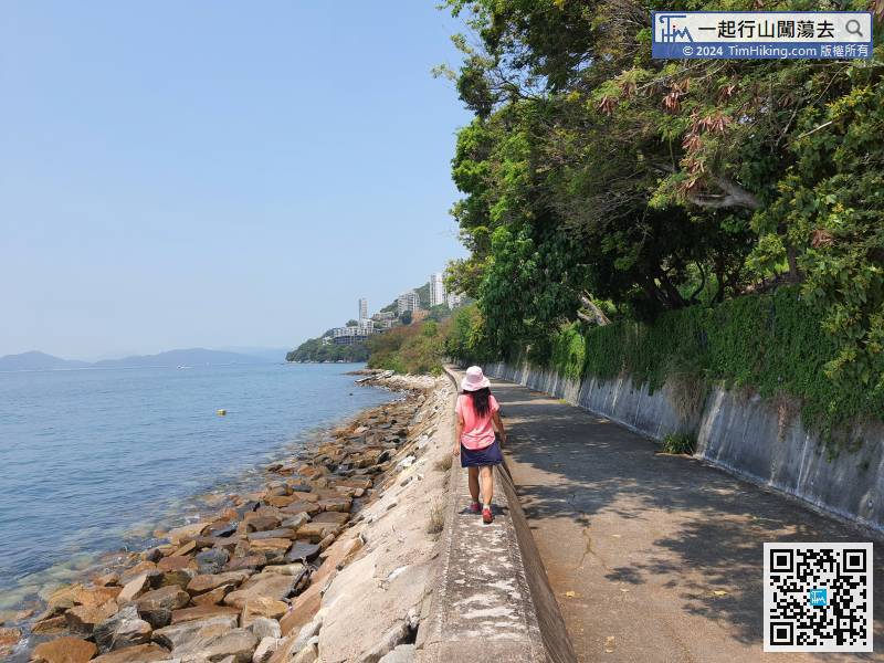
After about 10 minutes, will be back on the shore, and see Residence Bel-Air,
52︰At the top, do not get close to the edge of the cliff, stay a little further away, there have been fatal accidents in the past.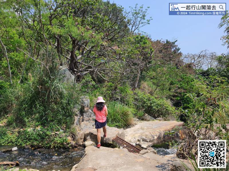
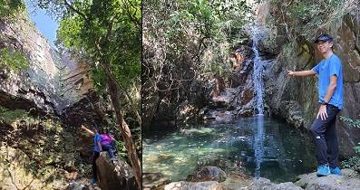
The bottom of the shortcut is Waterfall Bay Fall.
 88︰built along the coast, the environment is very quiet.
At a position where there seems to be no footpath at the end, keep to the right
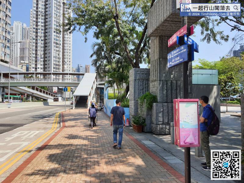
119︰go to the bus stop,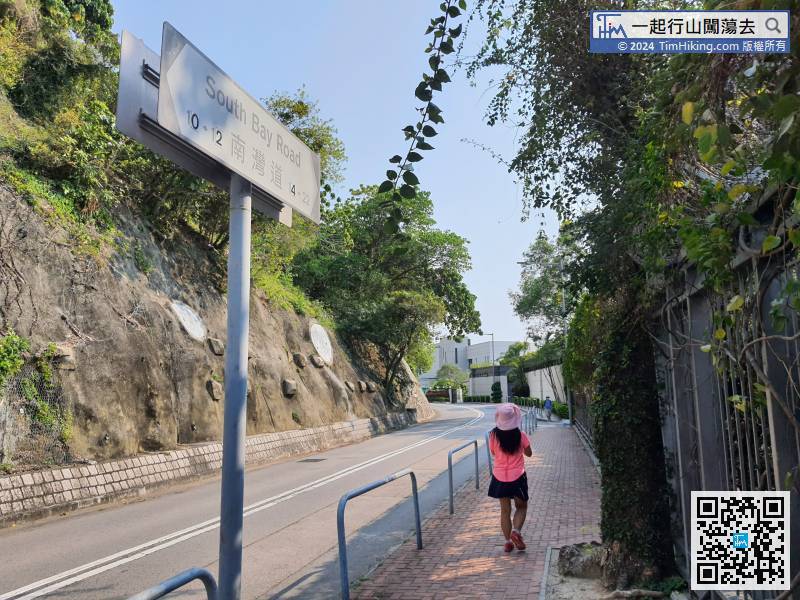
Continue on South Bay Road for about 300 meters,
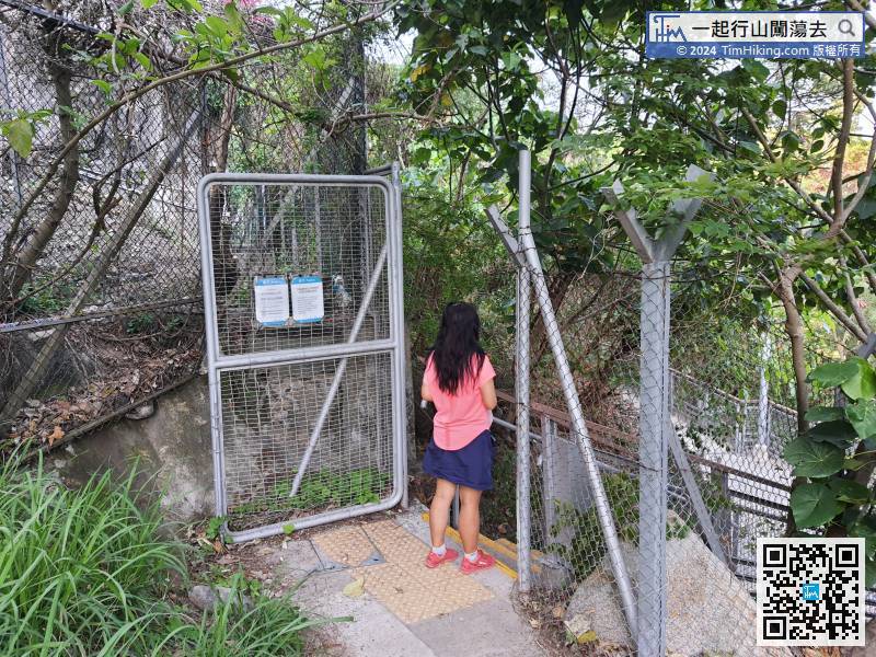
After passing through the gate, will enter Ma Hang Park.


