


 Recommend YouTube


| View : |  | ||
| Difficulty : |  | ||
| Path : | |||
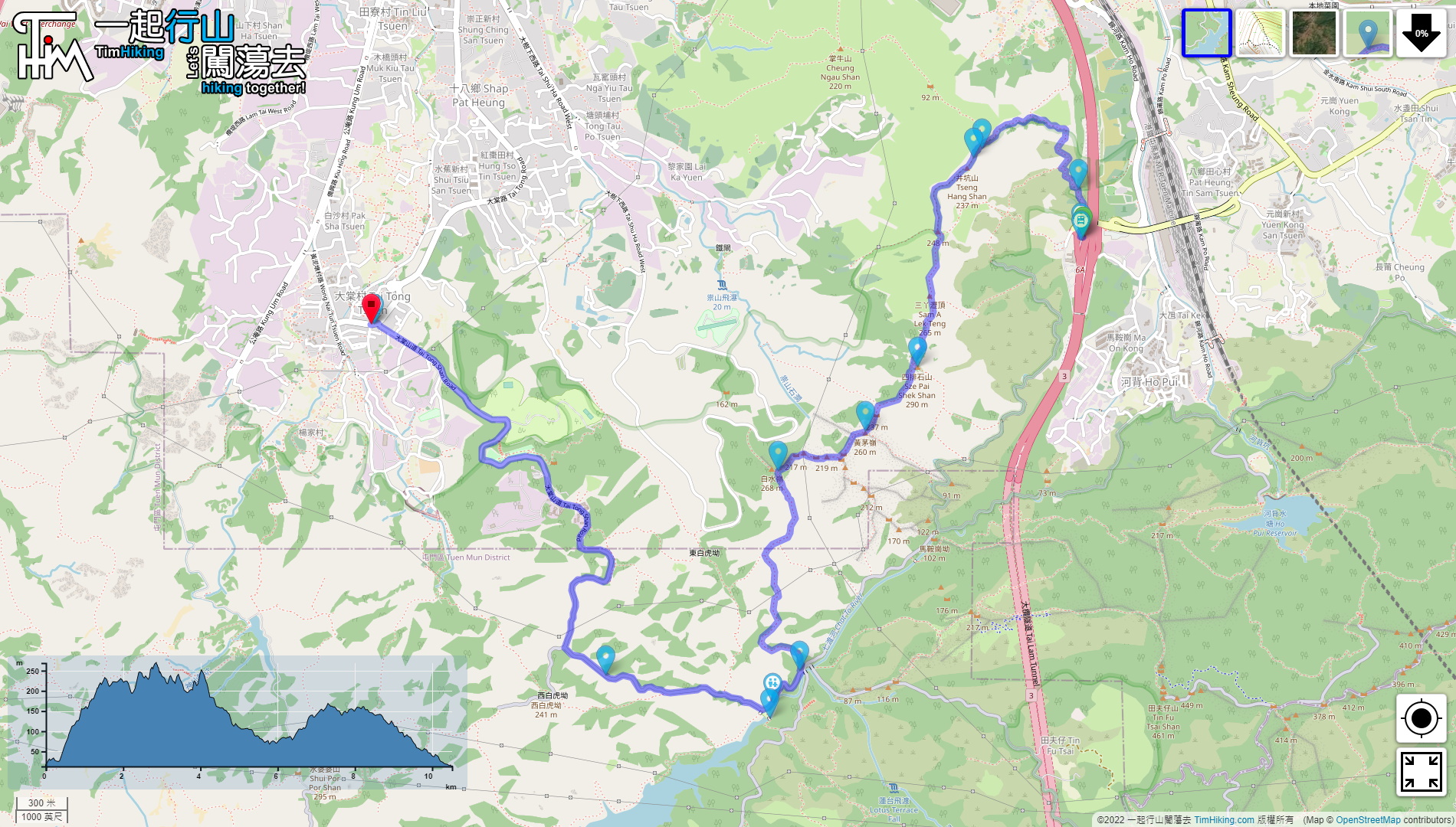
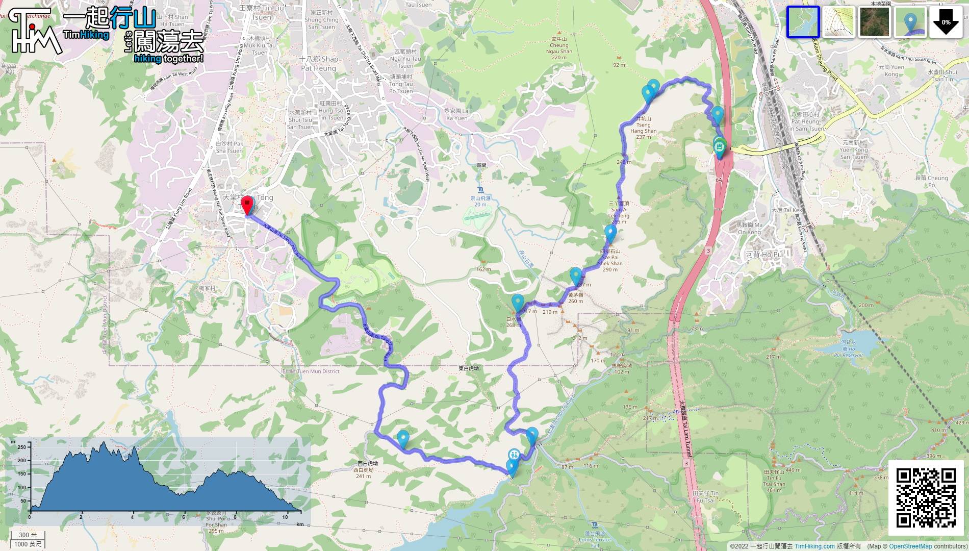
| Length : | 10.6km | ||
| Time : | 4½hours | ||
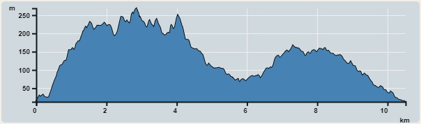 | |
| Ascent : 612m | Descent : 611m |
| Max : 269m | Min : 13m |
| (The accuracy of elevation is +/-30m) | |


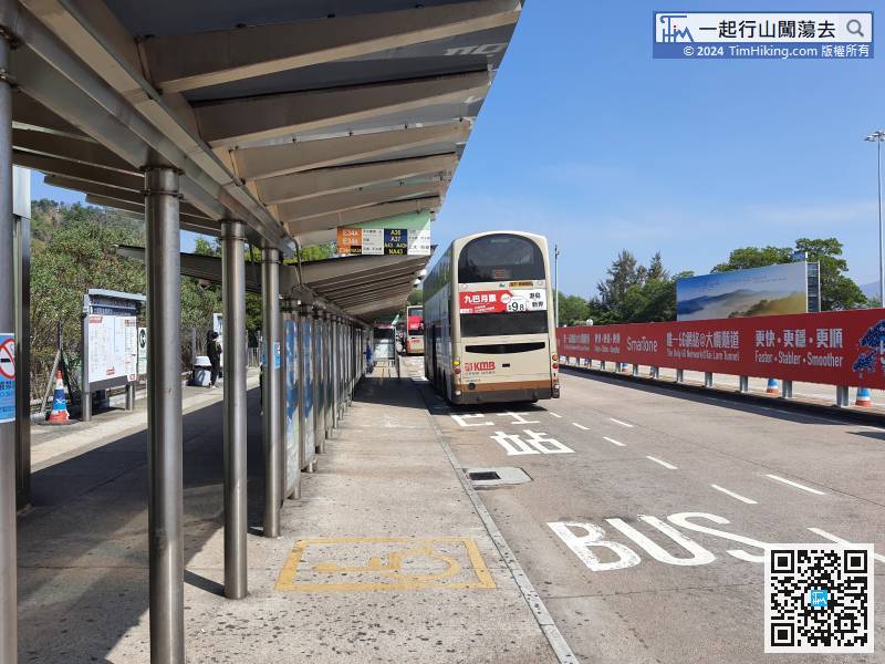
First, take any bus that passes through Tai Lam Tunnel and get off at Tai Lam Tunnel Interchange.
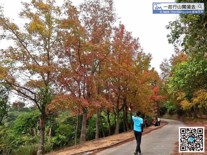
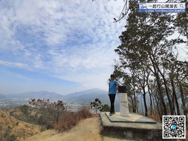
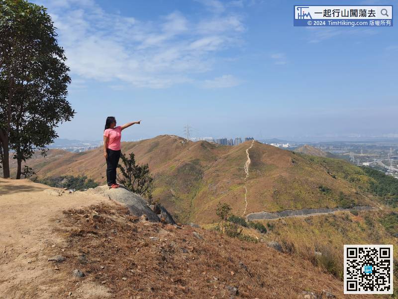
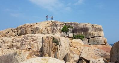
 21︰The scenery along the way can overlook the Pat Heung Plain,
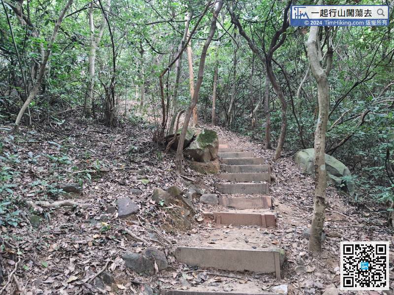
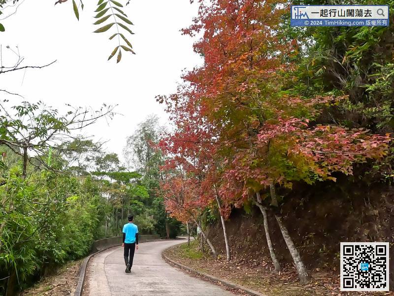
Stepping into the mountain trail, there are mud steps along the road,
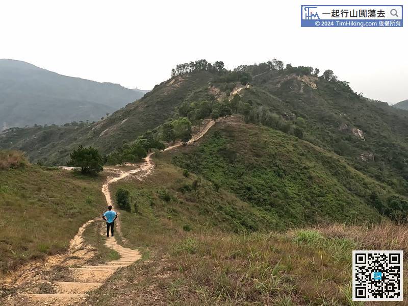
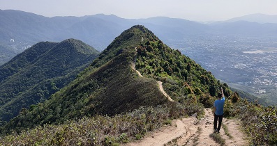
28︰The mountain trail gradually becomes open scenery, there is another uphill way from Cheung Ngau Shan.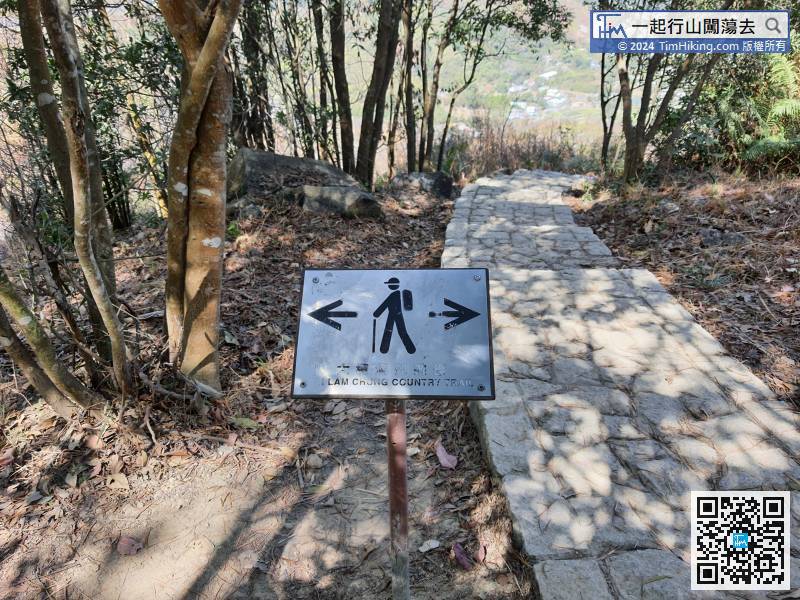 42︰The downhill is not too steep,
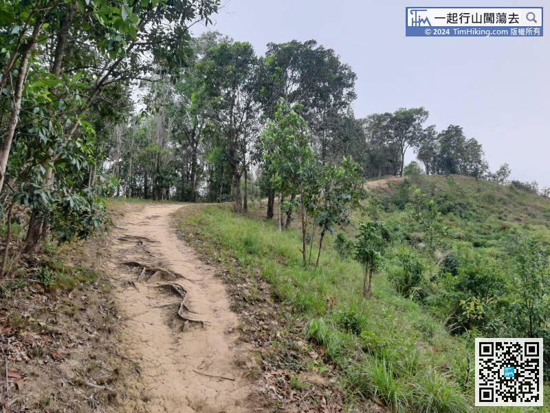 59︰just keep going up the steps,
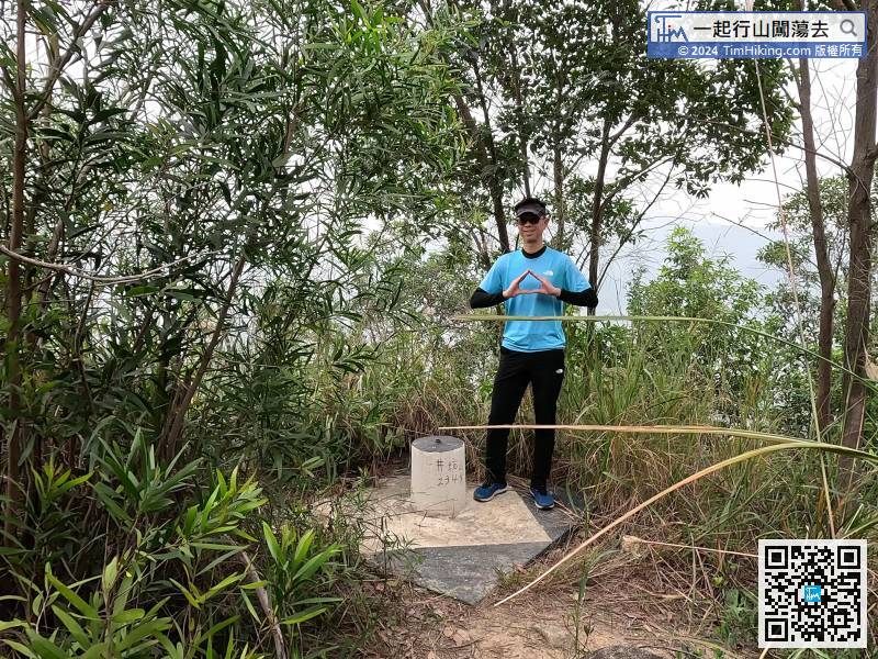
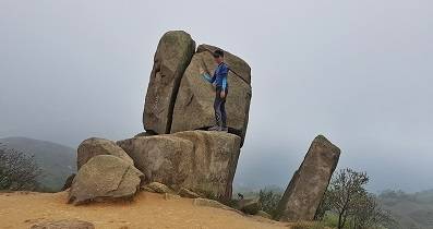
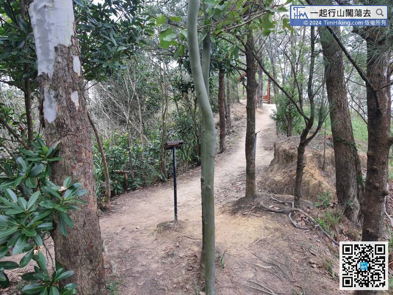 67︰It takes about 10 minutes to climb to the top. The top of the mountain is located in the jungle. There are road signs and small wooden benches, but there is no trigonometric station.
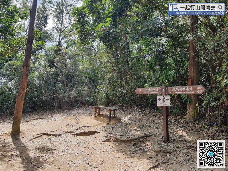
It takes about 10 minutes to climb to the top. The top of the mountain is located in the jungle. There are road signs and small wooden benches, but there is no trigonometric station.


