


 Recommend YouTube


| View : |  | ||
| Difficulty : |  | ||
| Path : | |||
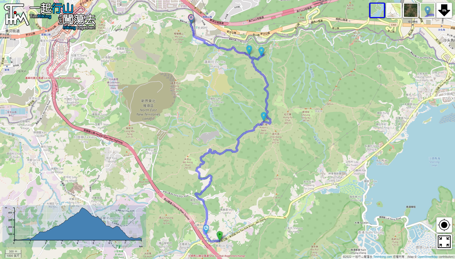
| Length : | 8km | ||
| Time : | 4hours | ||
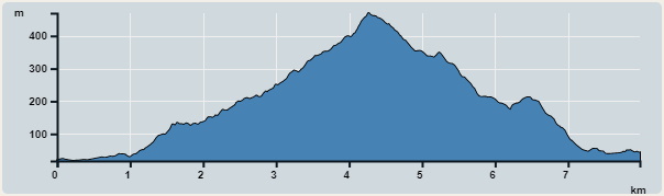 | |
| Ascent : 669m | Descent : 643m |
| Max : 470m | Min : 17m |
| (The accuracy of elevation is +/-30m) | |


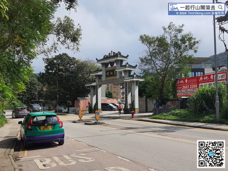
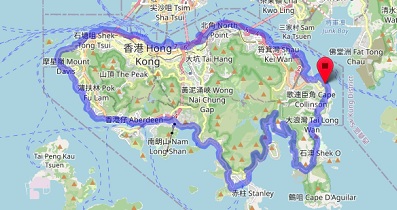
First go to Sheung Shui or Fanling and take the bus 78K to Sha Tau Kok, then get off at Loi Tung Village,
 24︰the concrete road section is over,
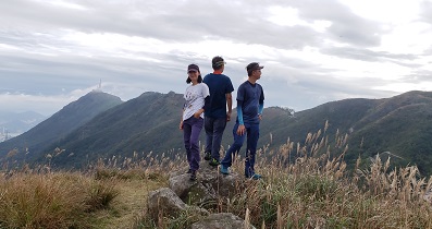
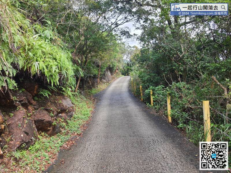 28︰Walk for about 5 minutes, and pay attention to the barren trail on Robin's Nest on the left,
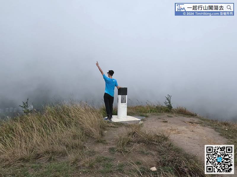
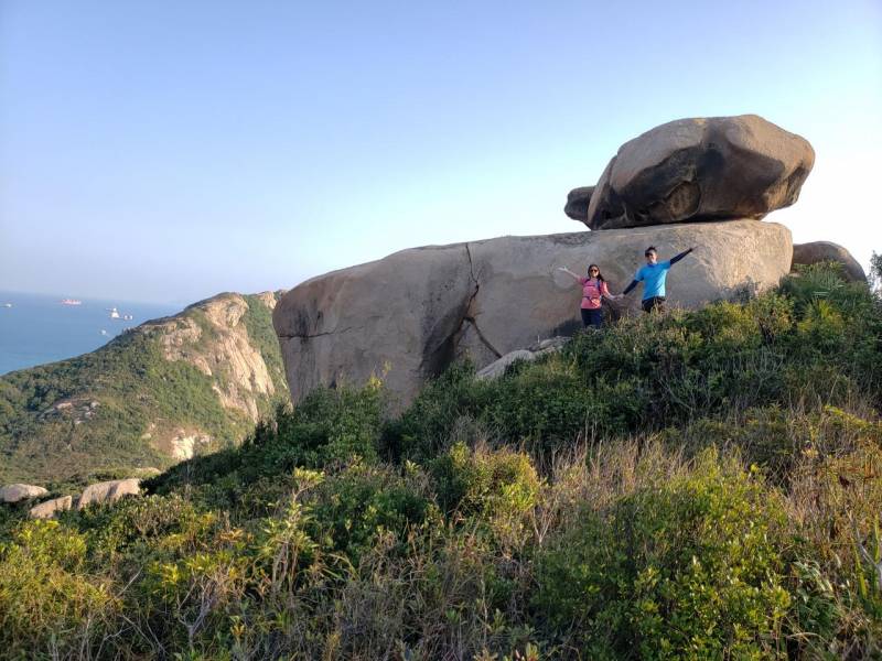
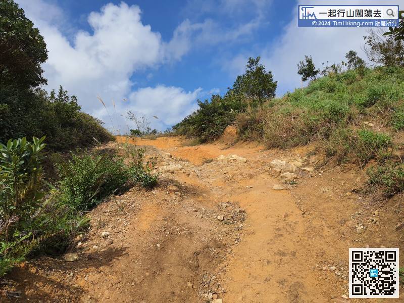 37︰Falling to the bottom is a crossroad, climbing straight to Hung Fai Chai, turning right is the same way down the mountain,
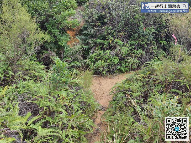
Falling to the bottom is a crossroad, climbing straight to Hung Fai Chai, turning right is the same way down the mountain,
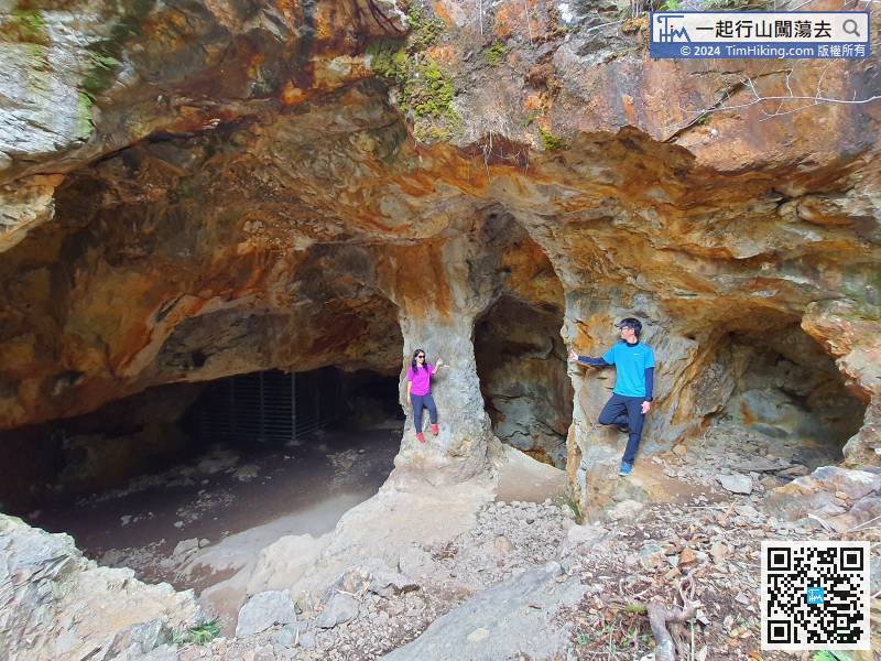
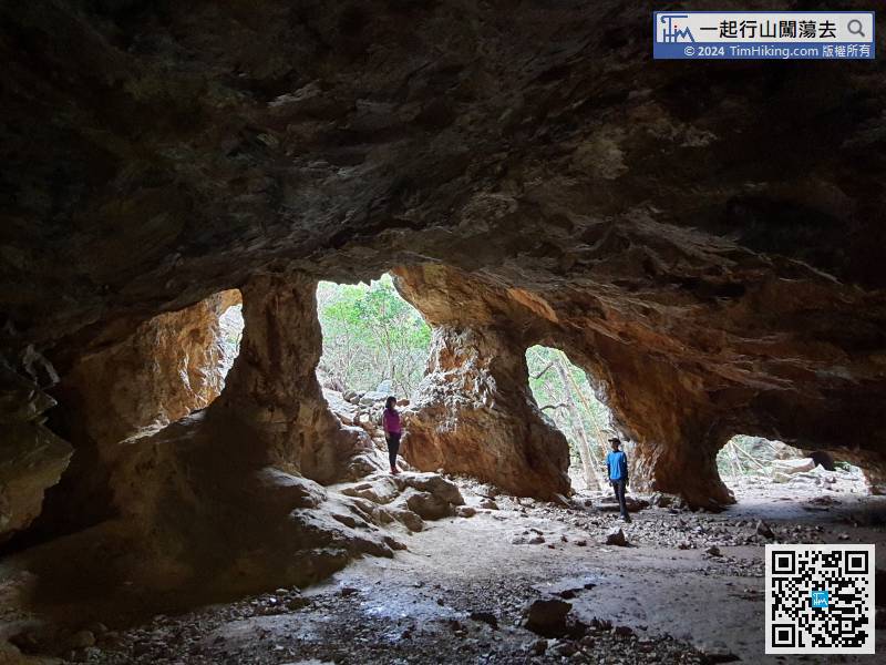
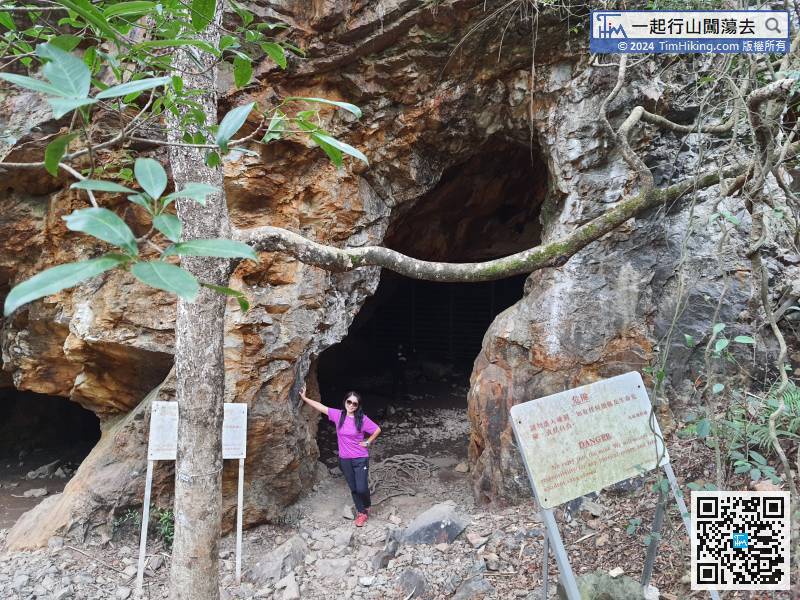
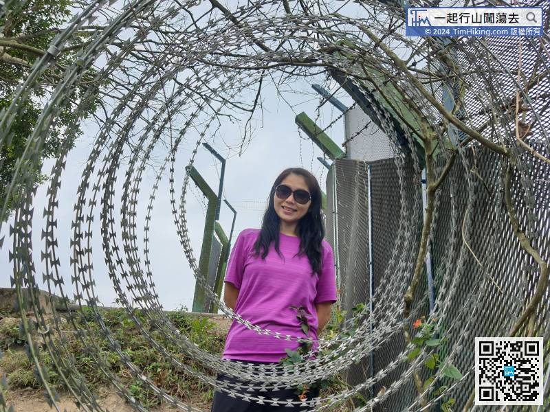
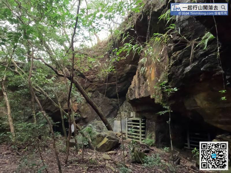
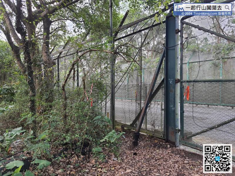
52︰and come to a forked intersection with a warning sign. Just go forward, and after a while,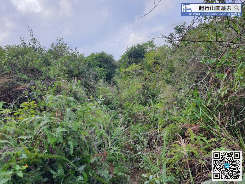
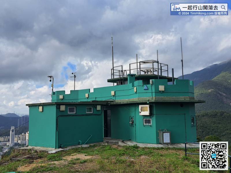
 81︰At the beginning of the year, it was still the original turquoise colour.
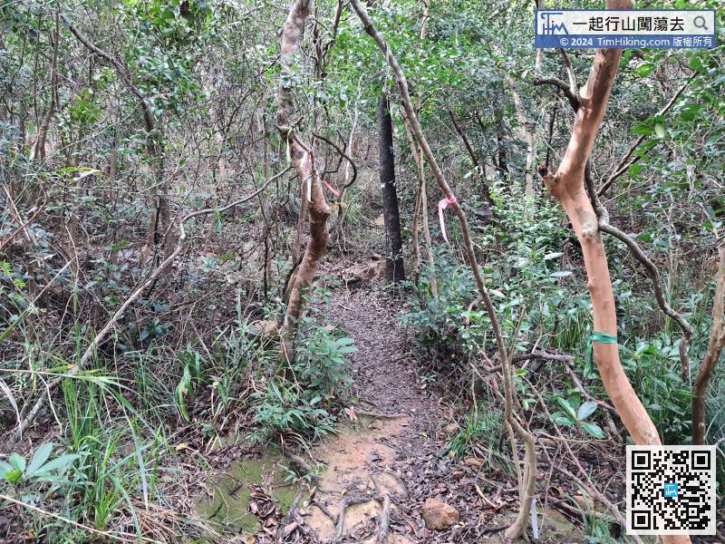
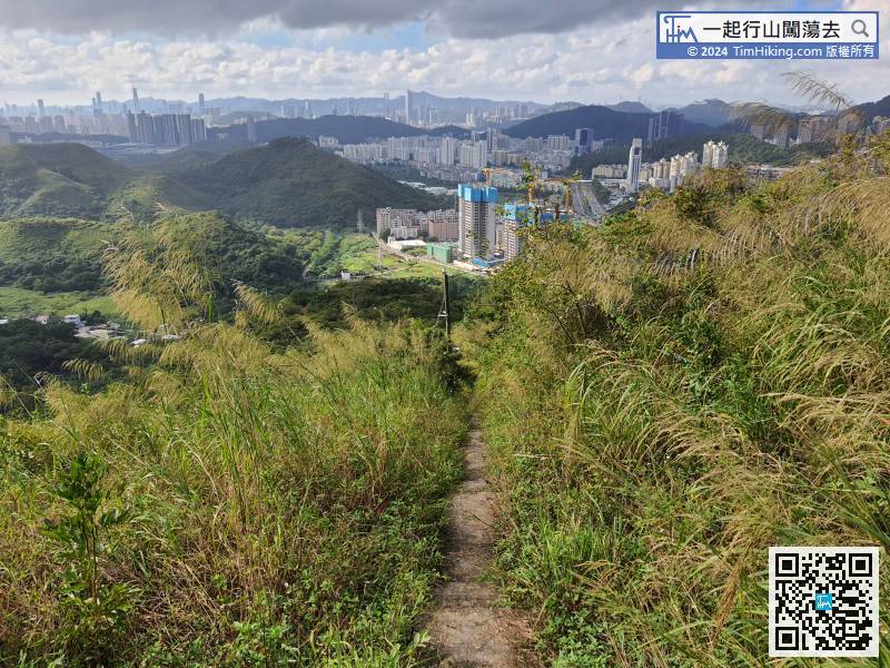
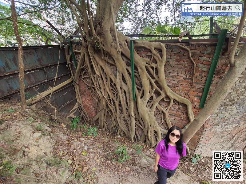
The rest is the route to leave. Go down the mountain along the steps next to it.


