


 Recommend YouTube


| View : |  | ||
| Difficulty : |  | ||
| Path : | |||
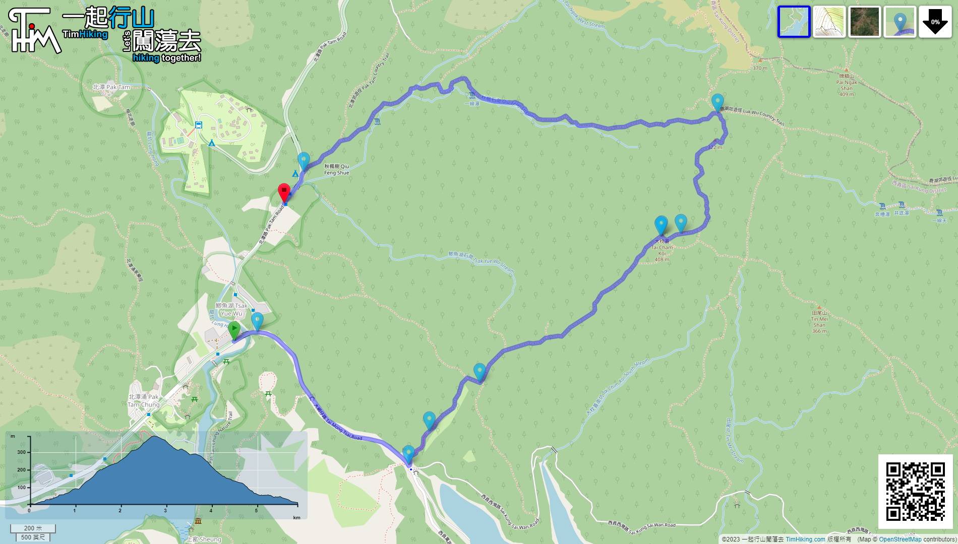
| Length : | 5.9km | ||
| Time : | 3hours | ||
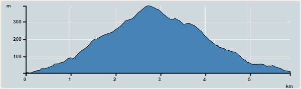 | |
| Ascent : 426m | Descent : 416m |
| Max : 391m | Min : 5m |
| (The accuracy of elevation is +/-30m) | |


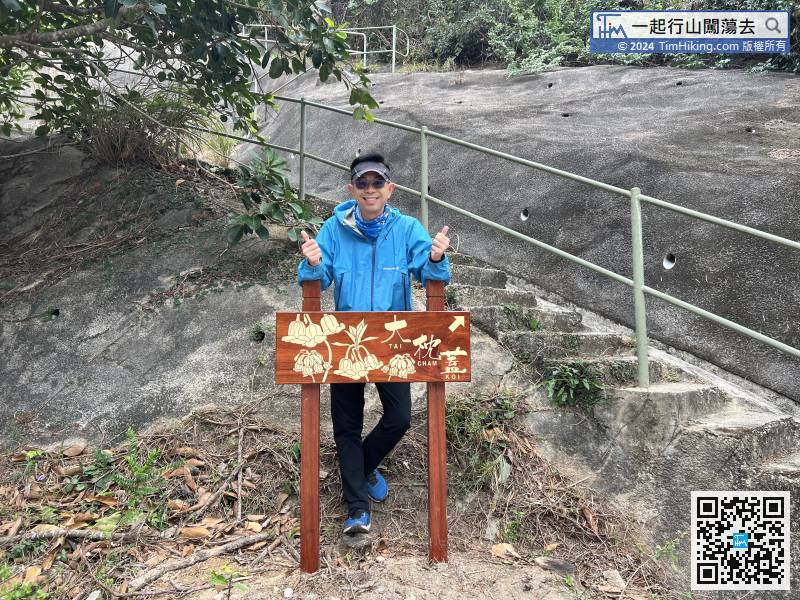
 10︰which is the official entrance to Tai Cham Koi route.
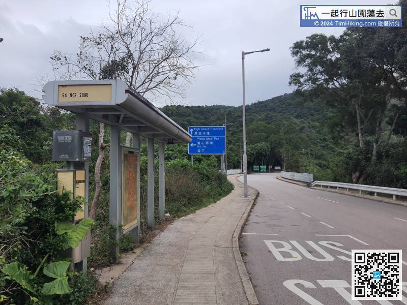
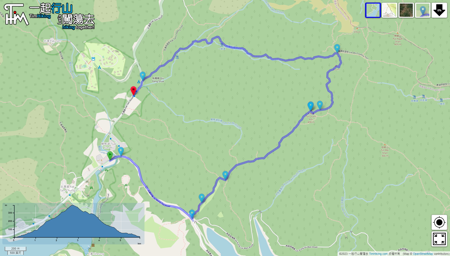
First of all, take a bus to High Island Reservoir. Of course, a taxi is the most convenient and nearest. You can go directly to the entrance of the Man Yee Au mountain trail and get off. There are 94/96/289R bus options.
18︰About 15 minutes up the mountain, you will find a fork on the left,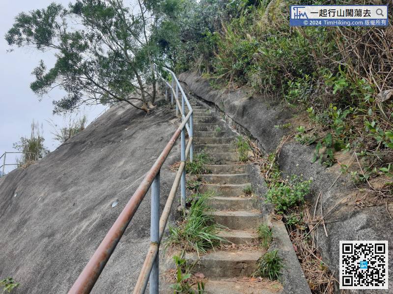
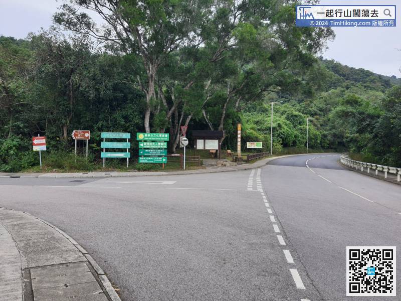
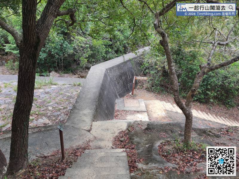
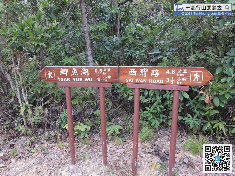
The entrance of Tsak Yue Wu is located at the left fork of the intersection after getting off the bus and turning into Pak Tam Road.
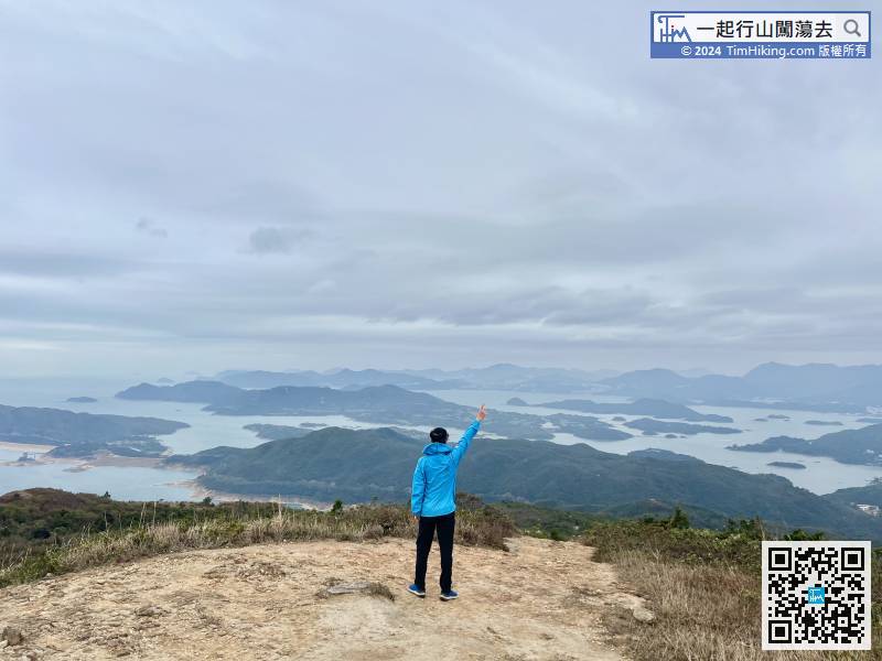
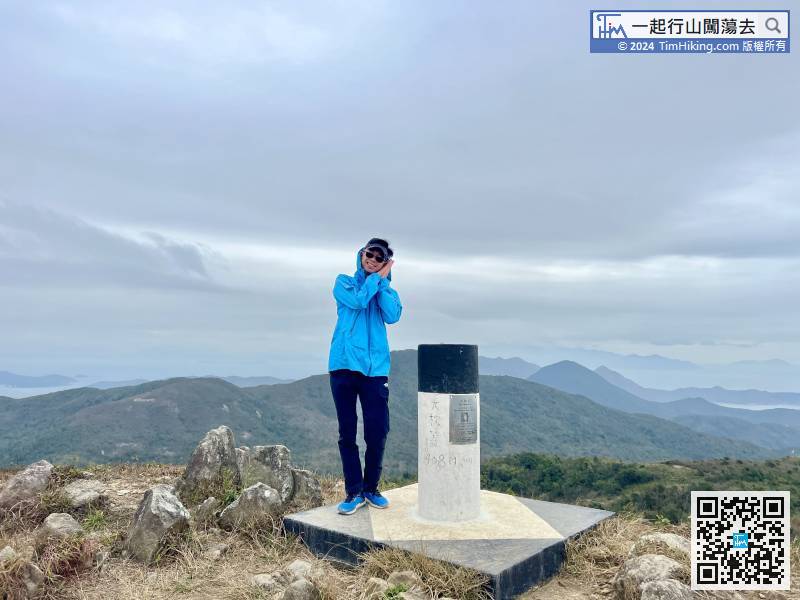
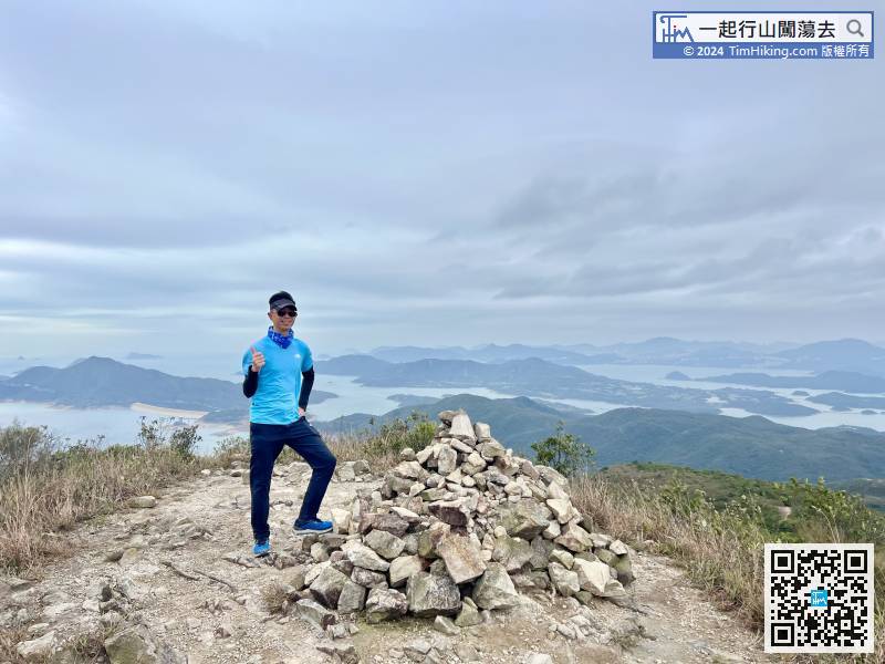
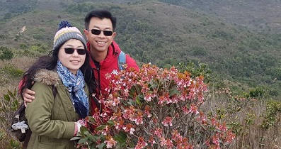
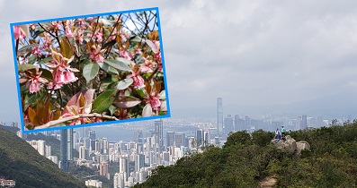
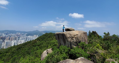
33︰After two steps, will come to a newly built Viewing Point, which is the location of the old trigonometric station.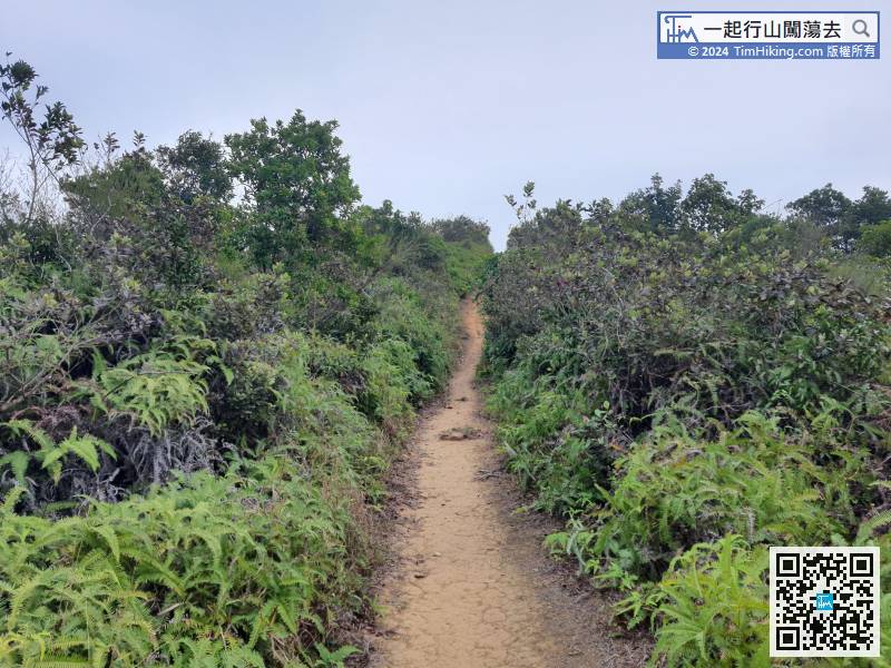 43︰There is a trigonometrical station on the top of Tai Cham Koi,
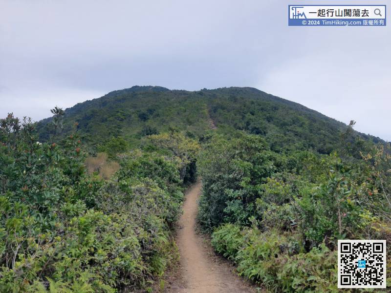
 63︰and pick up Luk Wu Country Trail.
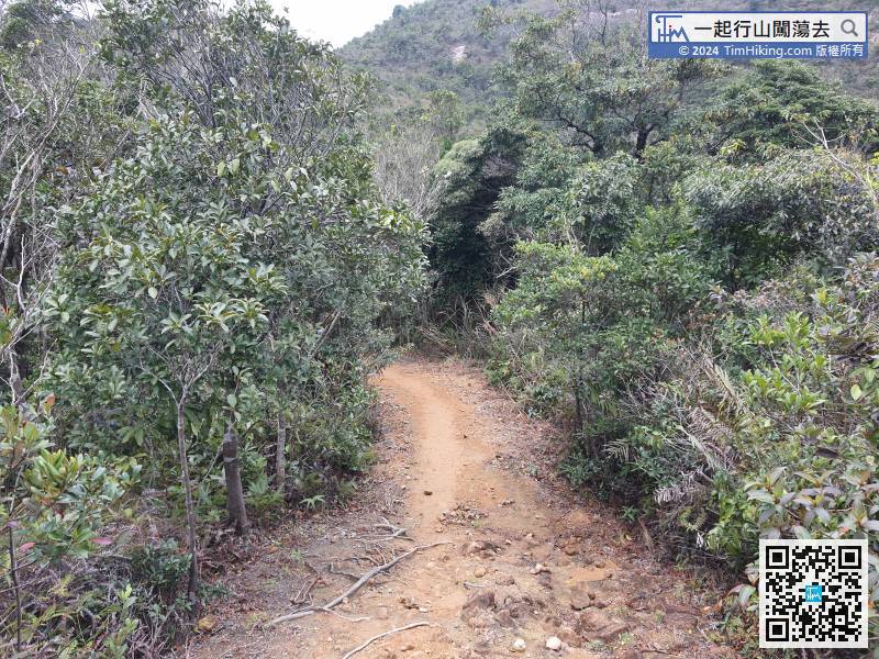


