


 Recommend YouTube


| View : |  | ||
| Difficulty : |  | ||
| Path : | |||
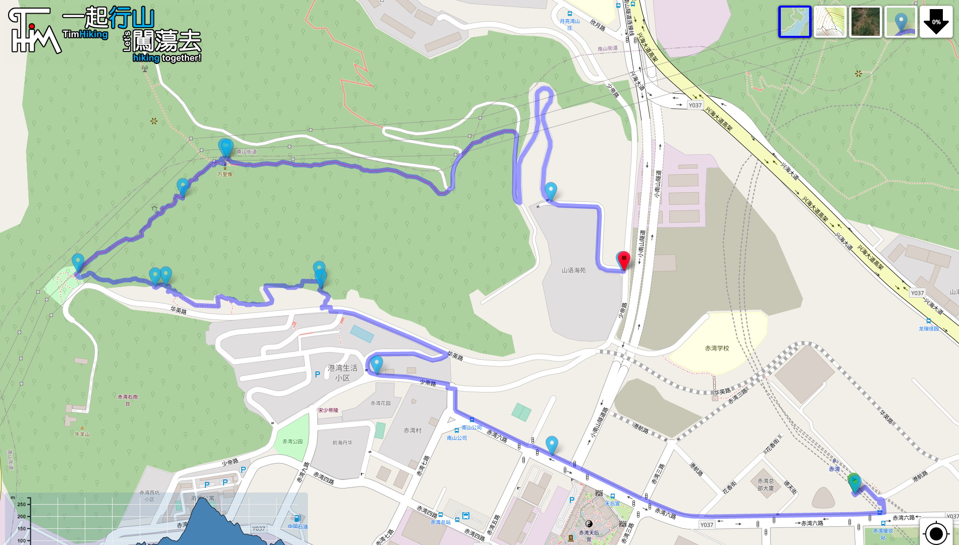
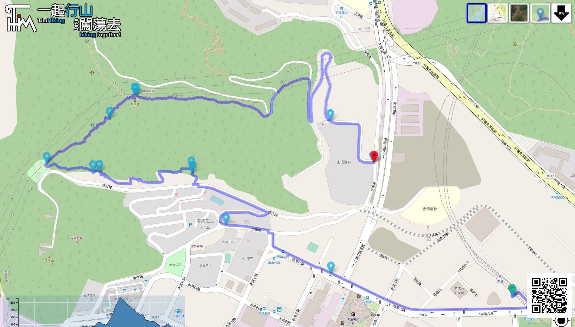
| Length : | 4.9km | ||
| Time : | 2hours | ||
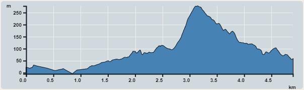 | |
| Ascent : 410m | Descent : 370m |
| Max : 277m | Min : 0m |
| (The accuracy of elevation is +/-30m) | |

 Vending Machine
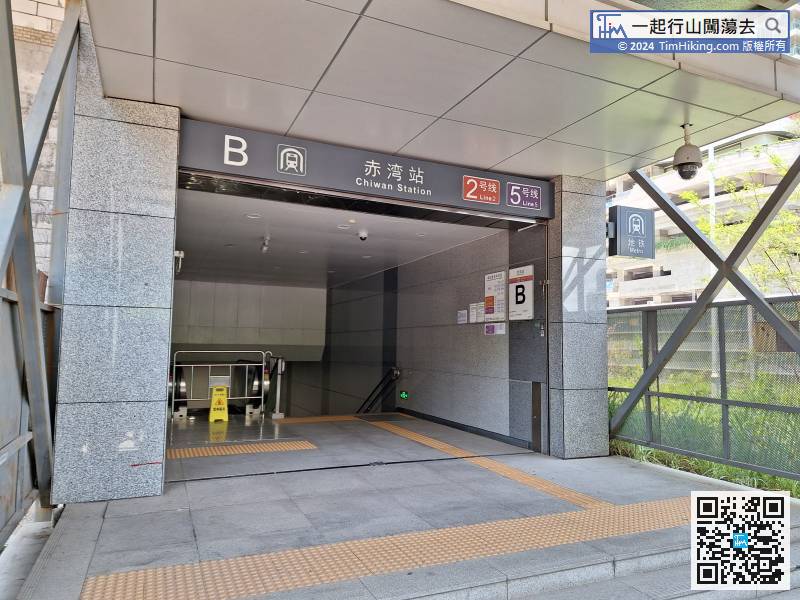
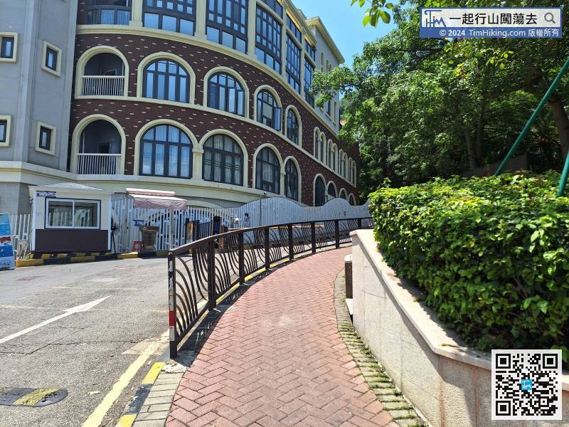
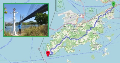
The starting point of the route is Chiwan Station, the terminus of the westbound line of Shenzhen Metro Line 2.

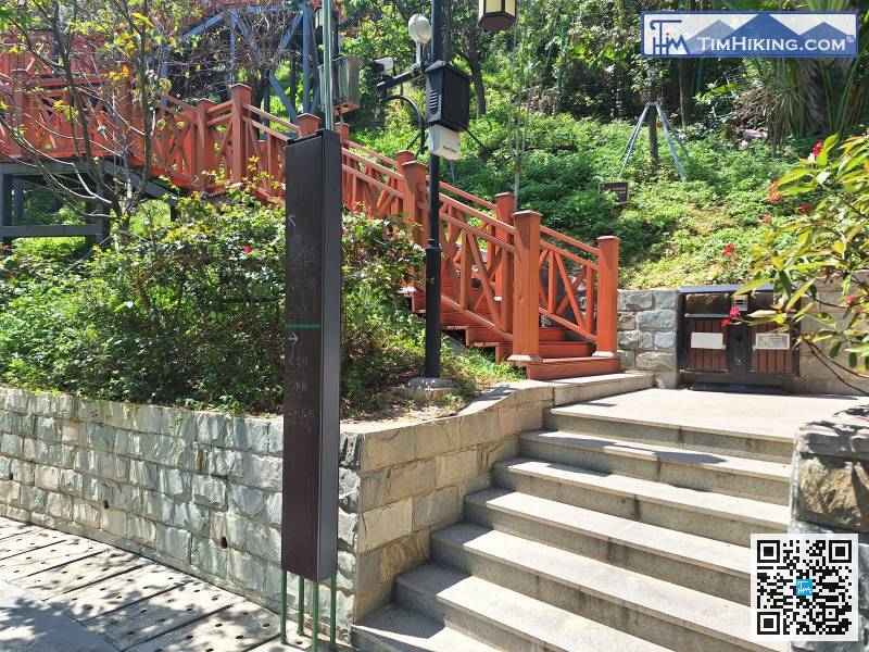
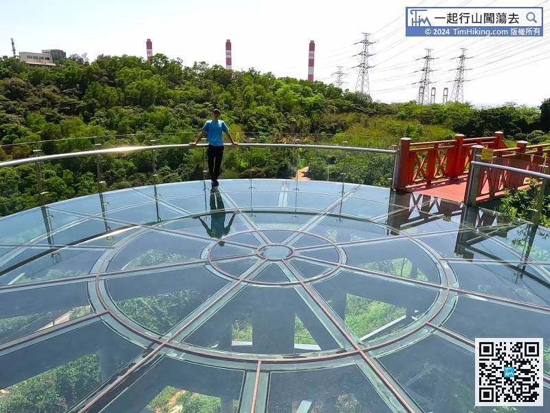
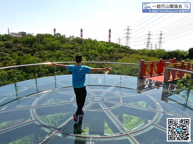
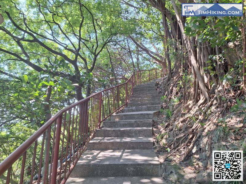
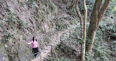
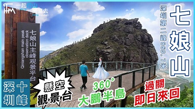
Just walk towards the Glass Sightseeing Platform, you can find the steps leading to the platform,
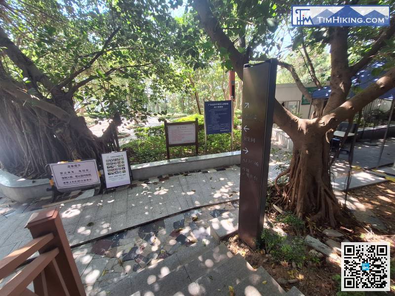
There are multiple bulletin boards at the trailhead. The focus is on forest fire prevention and leaving the park before 21:30 every night. In other words, you have to leave after seeing the sunset at most, and you can't climb for the night view of Xiaonan Shan at night.
Don't worry, after a short break, it's not too late to start again.

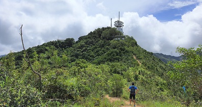
The direction of the falling hill is so obvious, it's a downward slope! You can't go wrong.


