


 Recommend YouTube


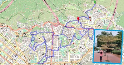
| View : |  | ||
| Difficulty : |  | ||
| Path : | |||
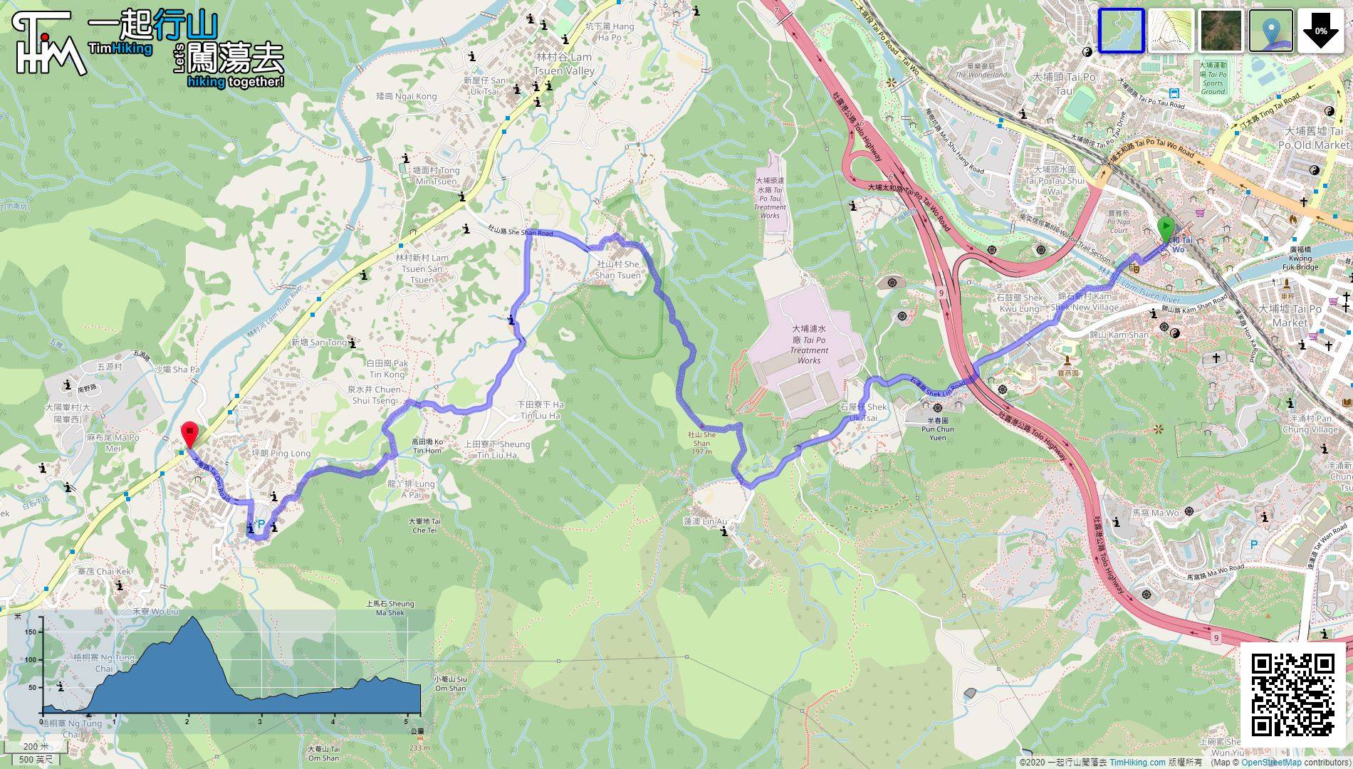
| Length : | 5.2km | ||
| Time : | 2½hours | ||
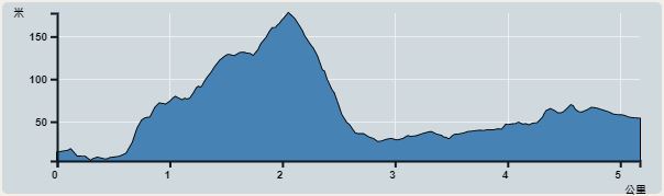 | |
| Ascent : 258m | Descent : 213m |
| Max : 177m | Min : 4m |
| (The accuracy of elevation is +/-30m) | |


 13︰In short, all along Shek Lin Road, and keep on the right.
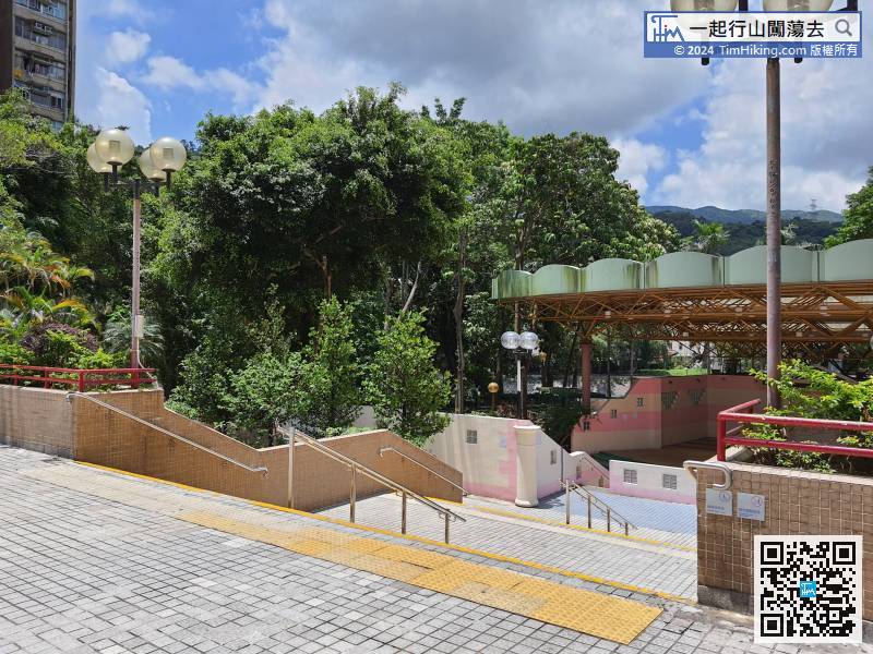
The starting point is Tai Wo MTR Station. Leave Tai Wo Square
28︰It only takes about 10 minutes to climb to the top of She Shan. She Shan has a trigonometrical station, and the landscape is slightly obscured, have not much good view.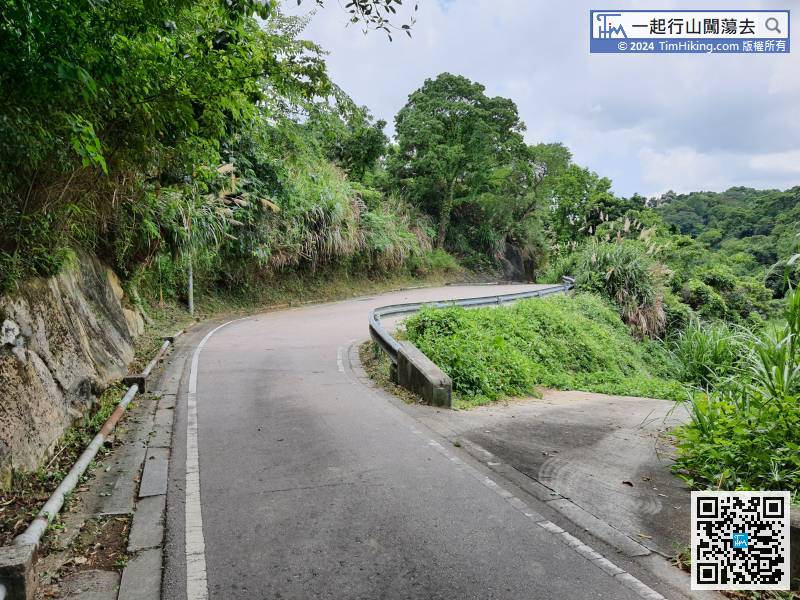 32︰There is no floating sand or big stone steps.
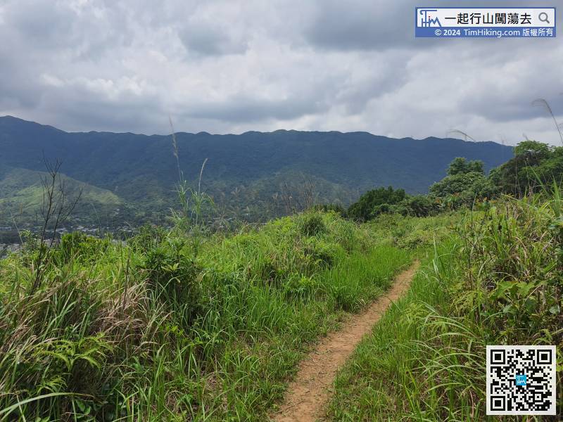
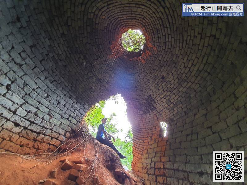
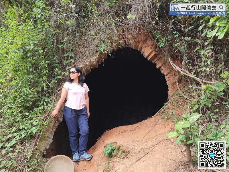
 63︰Tai Om Kilns is on the left.
 64︰Tai Om Kilns is like a Tai Shan cave. The roof of the kiln has skylights and the walls are made of bricks.
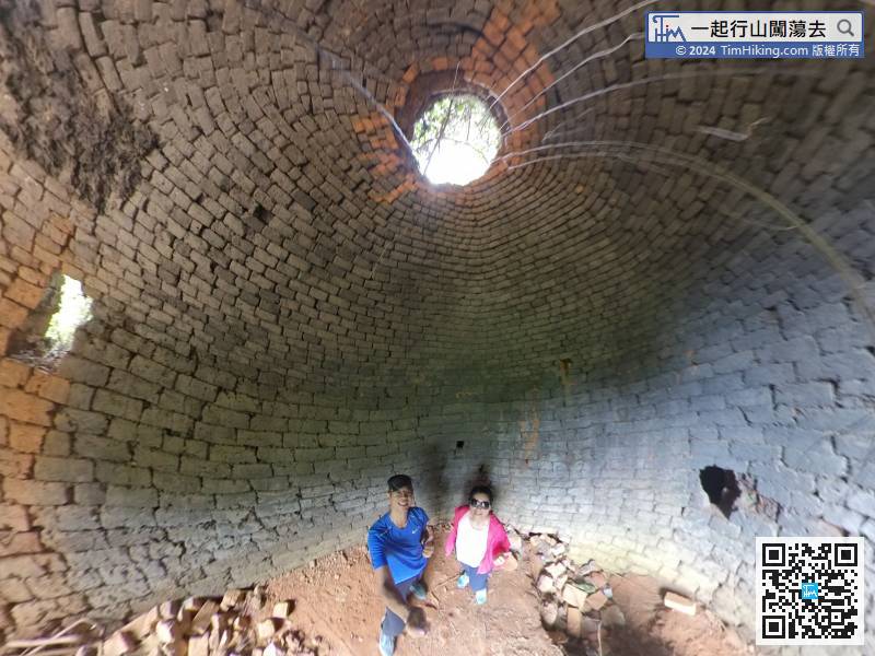
Tai Om Kilns is like a Tai Shan cave. The roof of the kiln has skylights and the walls are made of bricks.


