


 Recommend YouTube


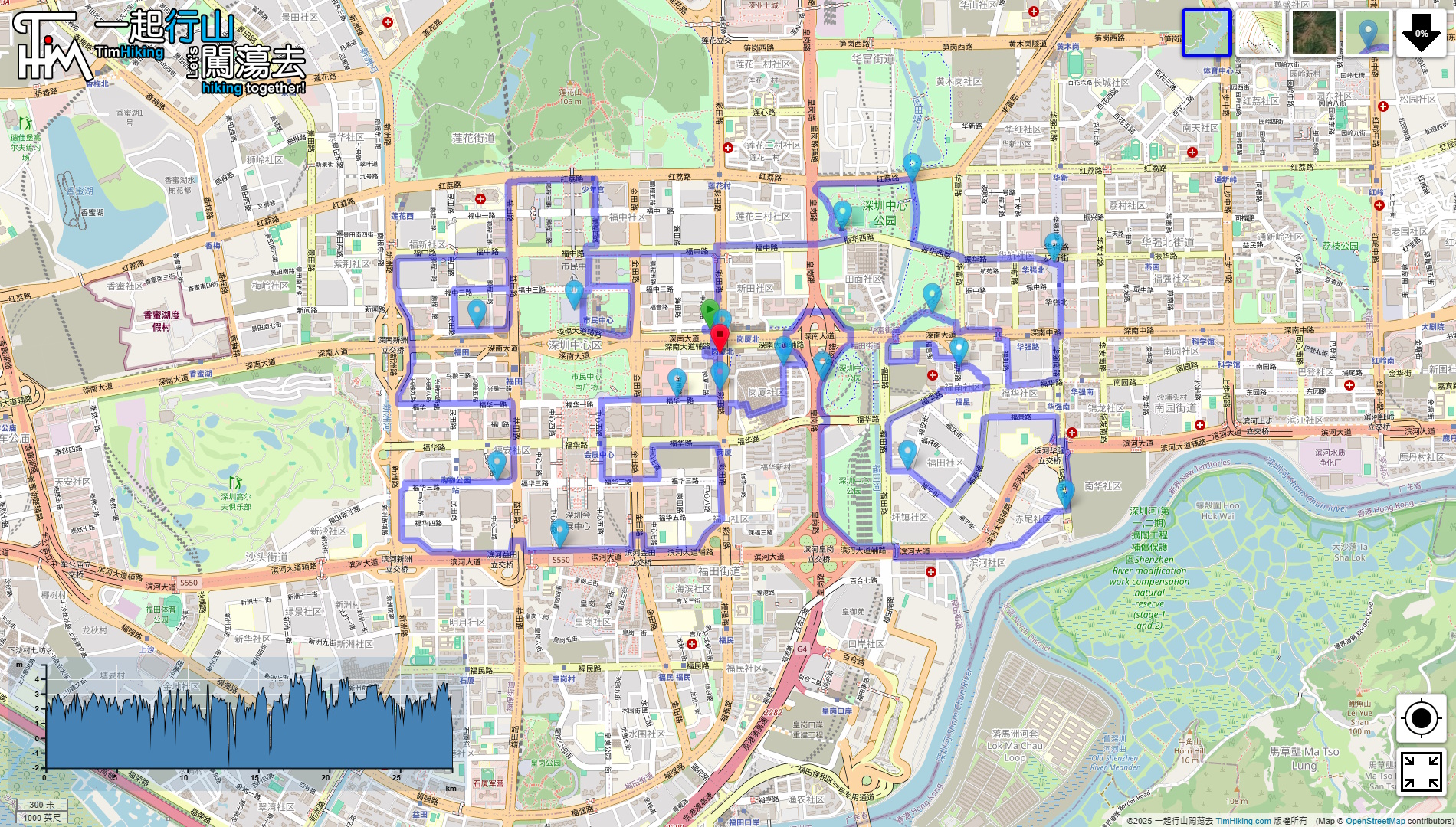

| View : |  | ||
| Difficulty : |  | ||
| Path : | |||
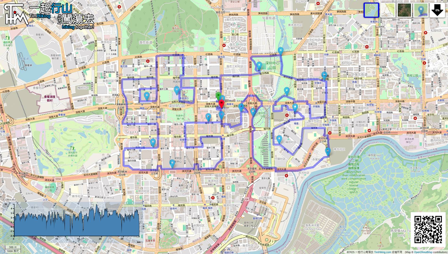
| Length : | 28.7km | ||
| Time : | 5½hours | ||
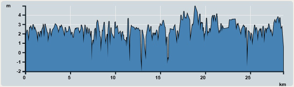 | |
| Ascent : 26m | Descent : 29m |
| Max : 5m | Min : 0m |
| (The accuracy of elevation is +/-30m) | |


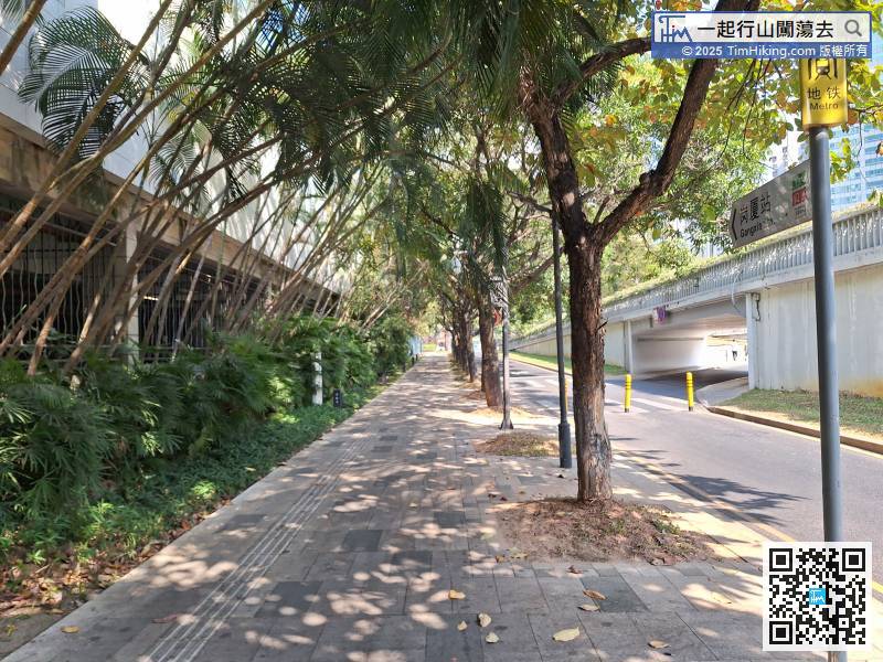
The default starting point is the center of the entire route, Gangxia North Station. Of course, you can also start from any Metro Station along the way. It doesn't matter.
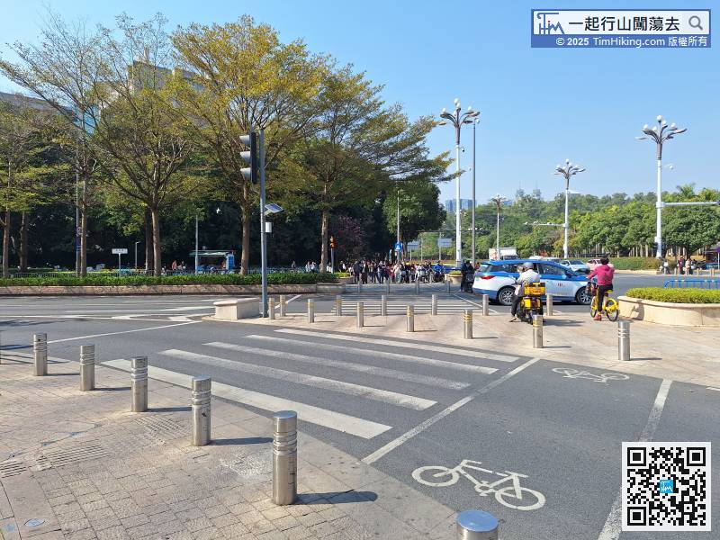
When you get to the intersection, pay attention. You must cross the road first,
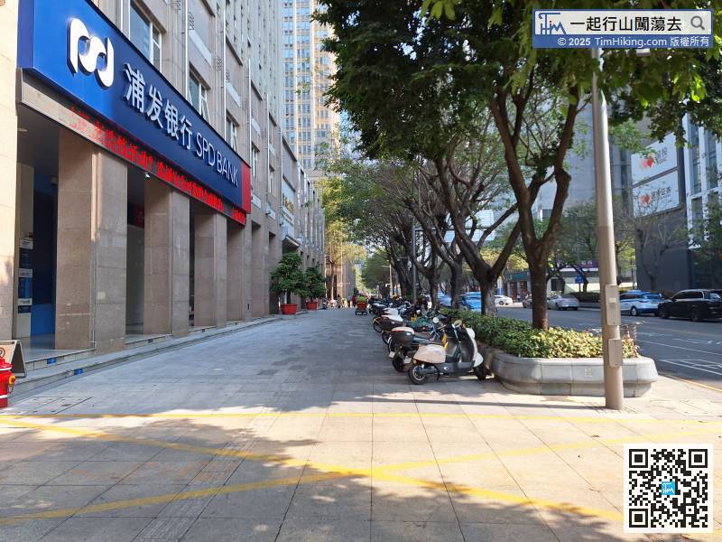
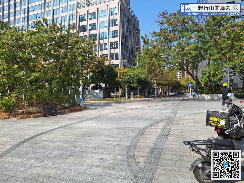
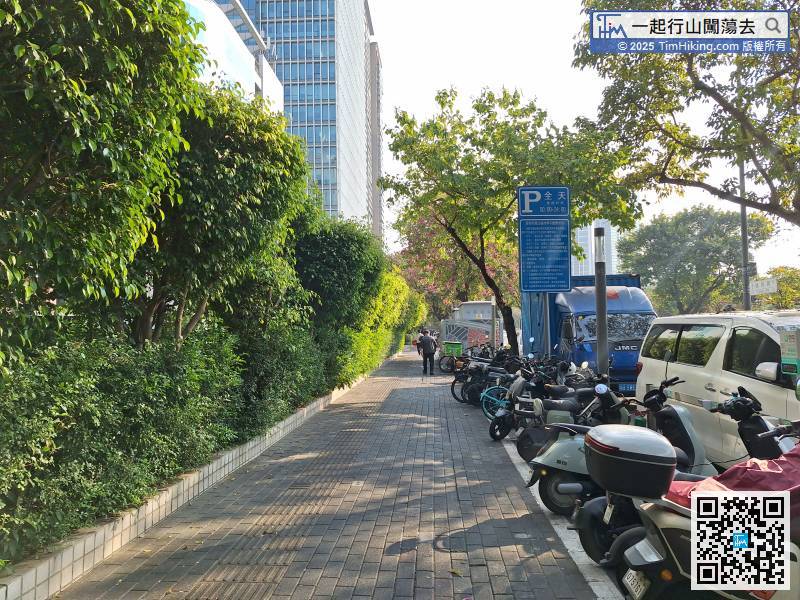
This is near the Shenzhen Stock Exchange and is a major commercial office area.
Leave Binhe Boulevard and turn left to go back to the starting point.
Start at the right side of the character '蛇',
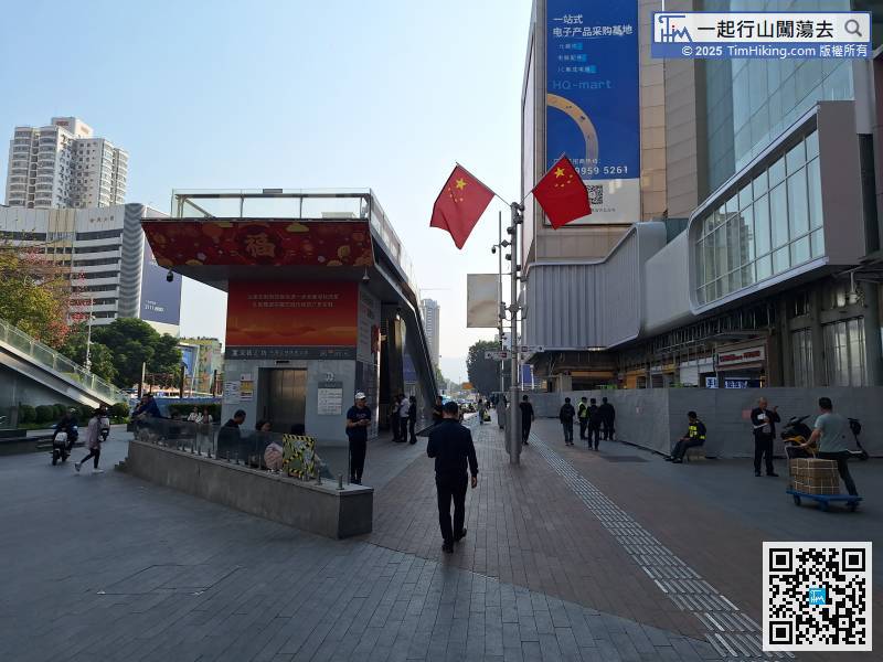
Turn right into Huaqiang Road Pedestrian Street and go straight.
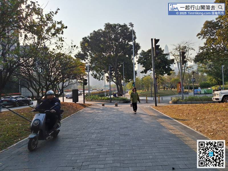
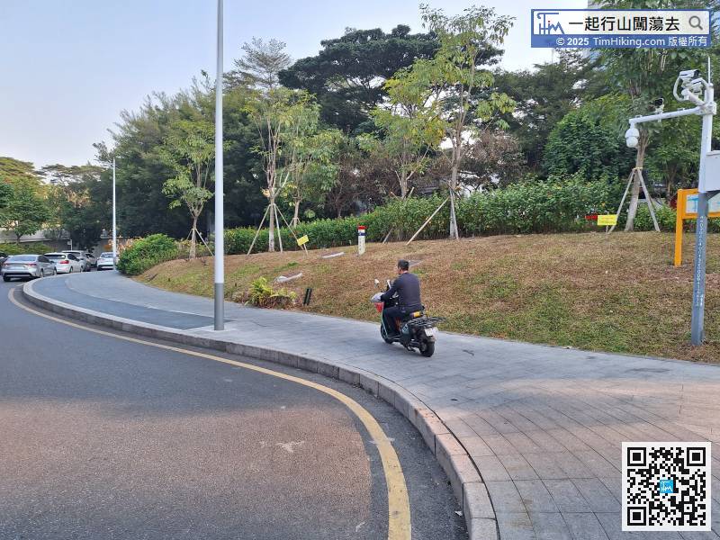
The roads ahead are all about the living community. It's hard to describe. You must open an offline map to follow the route, otherwise it's easy to go wrong.
Pay attention to the intersection on the left,
Cross Futian Road
After leaving the tunnel, keep left


