


 Recommend YouTube


| View : |  | ||
| Difficulty : |  | ||
| Path : | |||
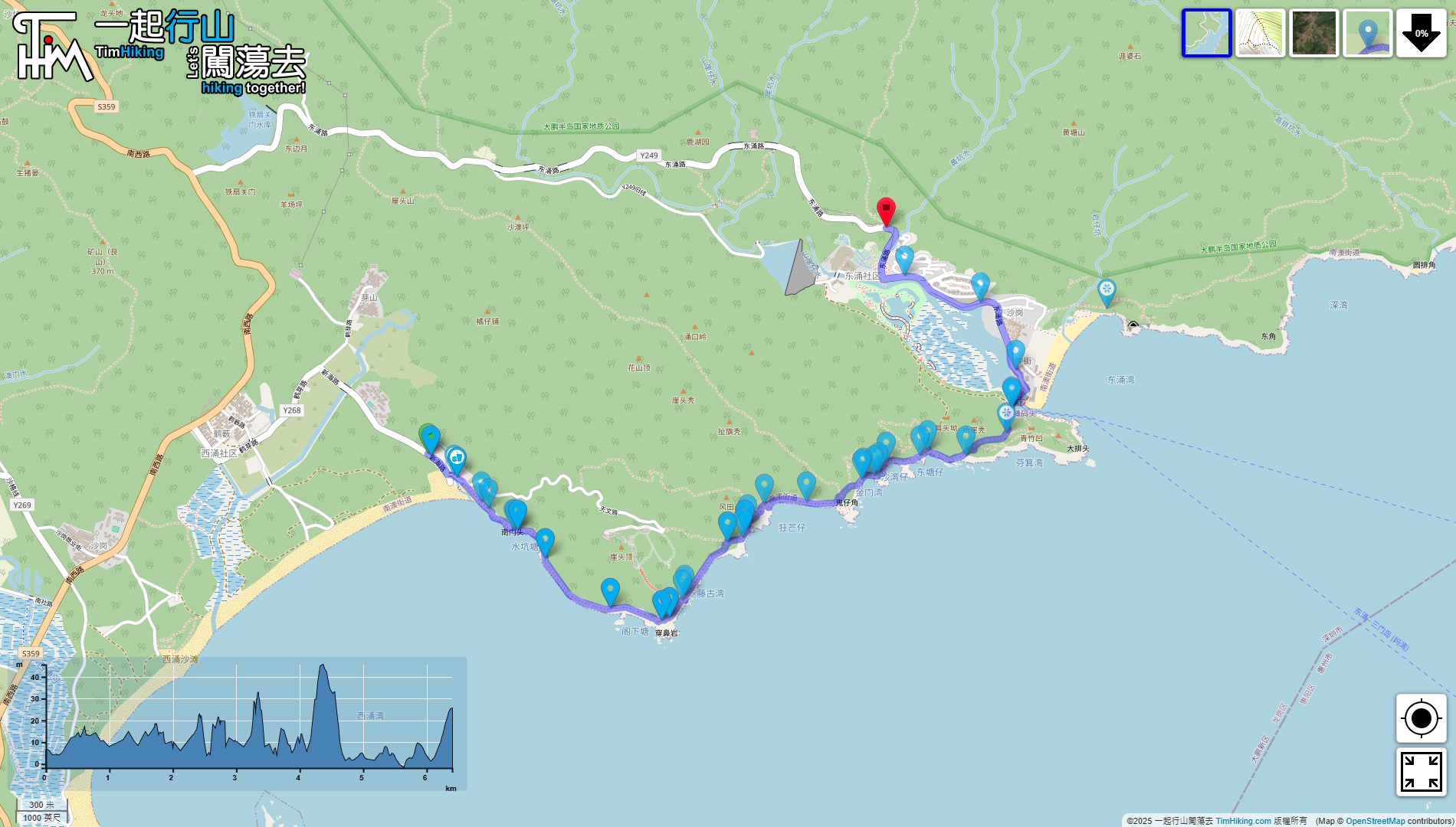
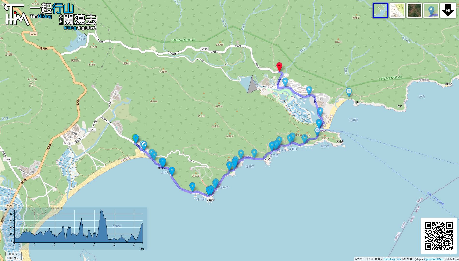
| Length : | 7.4km | ||
| Time : | 7hours | ||
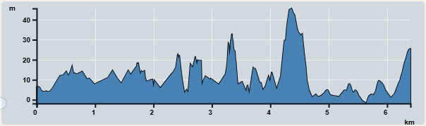 | |
| Ascent : 138m | Descent : 123m |
| Max : 46m | Min : 2m |
| (The accuracy of elevation is +/-30m) | |

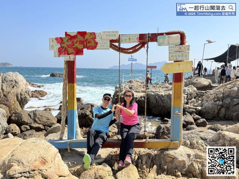
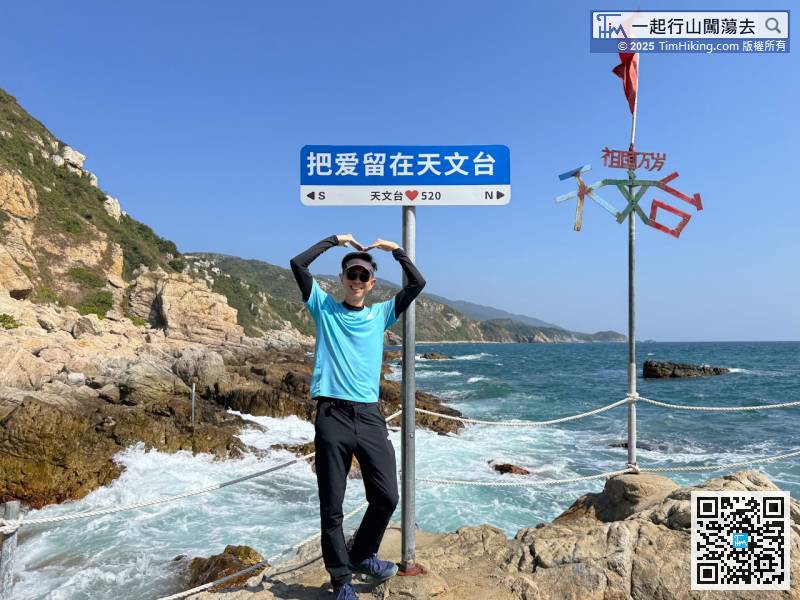
 Rest Place
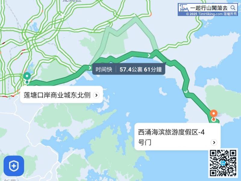
The starting point is Xichong on Dapeng Peninsula, and the taxi destination is 'Xichong Seaside Tourism Resort - Gate 4(西涌海濱旅遊渡假區-4號門)'. It takes about 1 hour from Liantang Port.
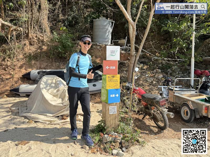
During Dongchong Xichong Crossing Travel, in addition to signs and distance post, we will also see the coordinate distance post, which is unique to Dongchong Xichong Crossing Travel. It is shaped like four quadruples and a column. This is No.18 Xichong No.4 Beach.
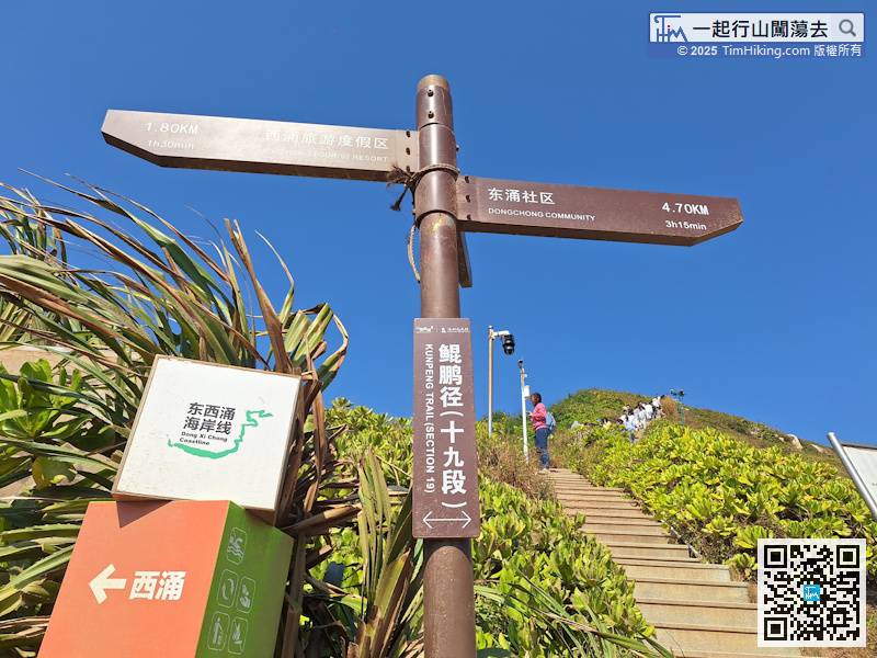
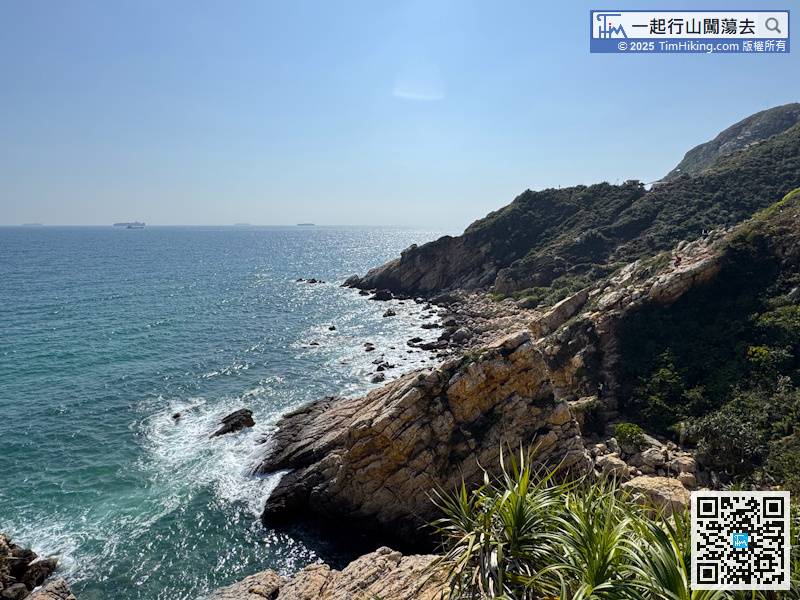
There are 4.7 kilometers left to Dongchong Community. The distance to edge climbing is about 2 kilometers, and there are still 2.7 kilometers of edge climbing.
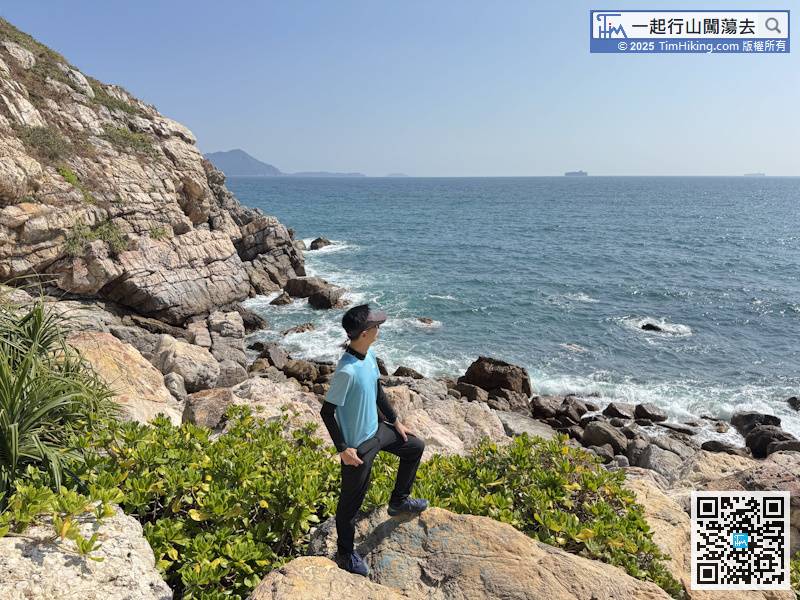
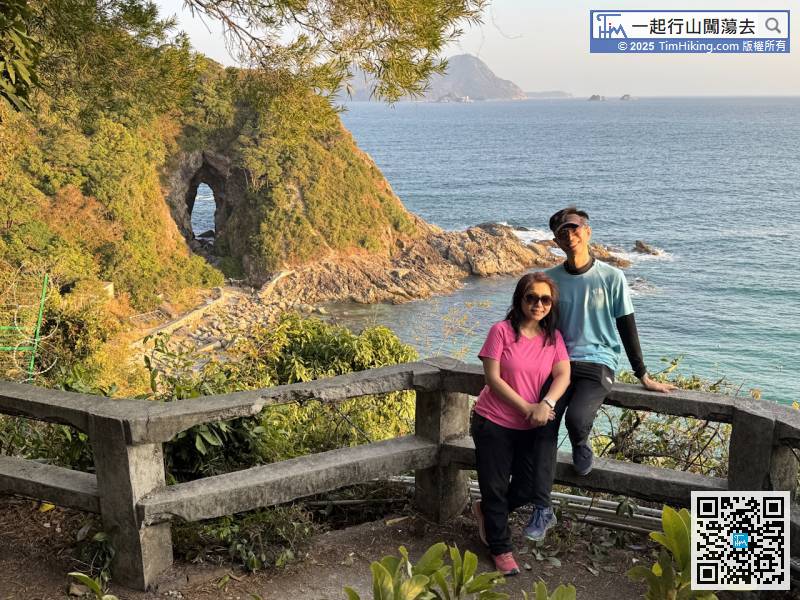
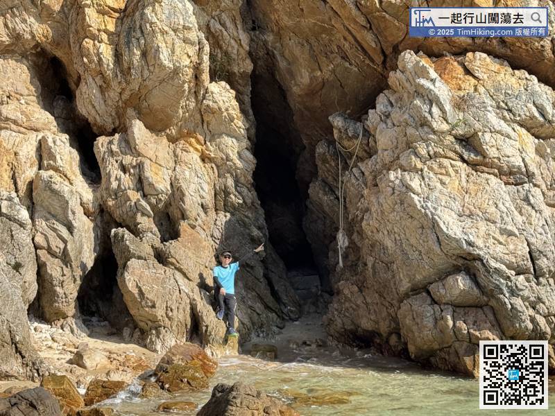
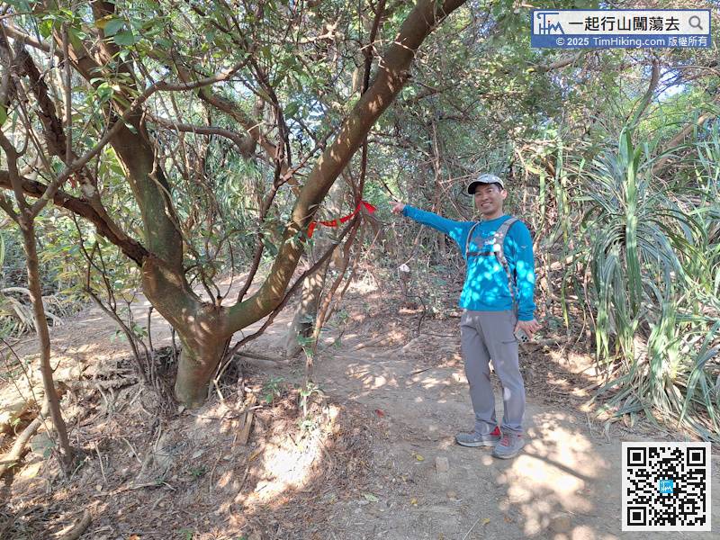
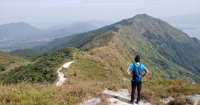
Walking near the cape, there is no easy edge climbing road along the coast.
Looking back at the footprints I have walked, it seems that I have only walked a short distance, but the time has been used for a lot, less than half a kilometer in an hour.
Follow the easier route,
Unclearly, I walked a little further
After going up the slope, you need to keep to the left
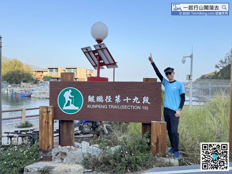
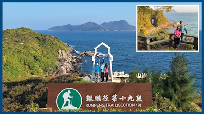
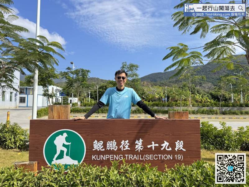
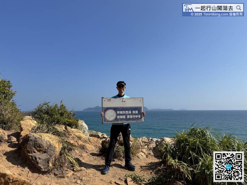
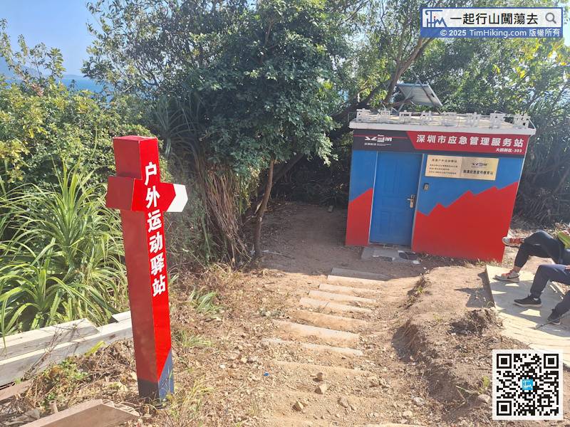
Hiking Trail Entrance on Dongchong Xichong Crossing Travel is also the starting point of the traditional Dongchong Xichong Crossing Travel,
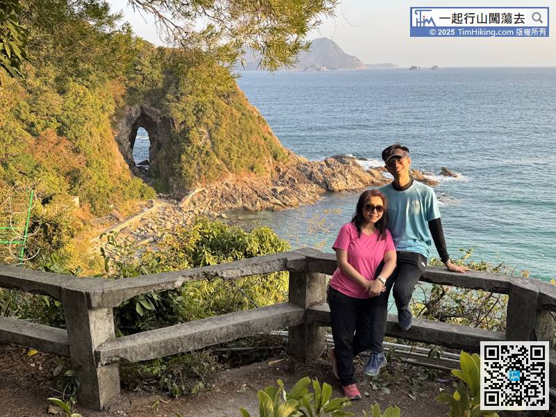
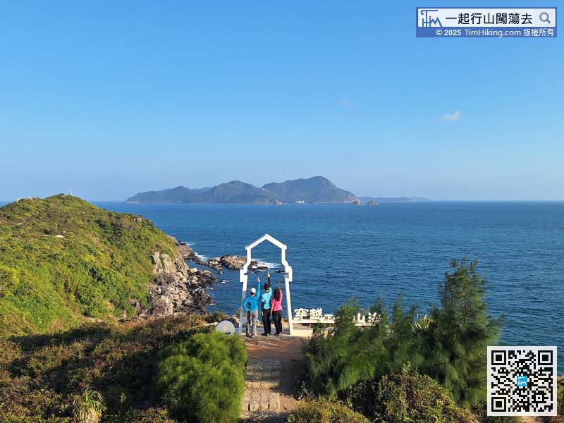
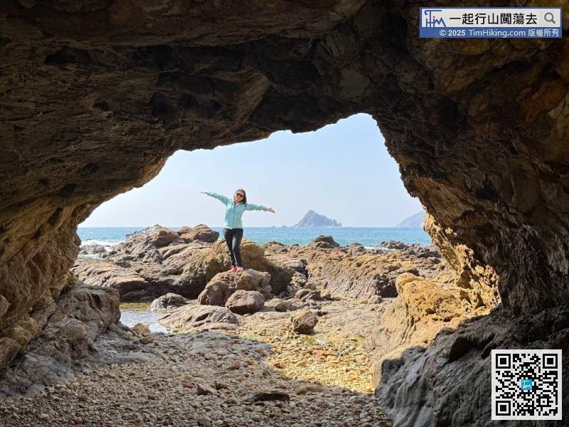
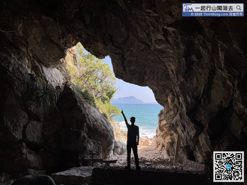
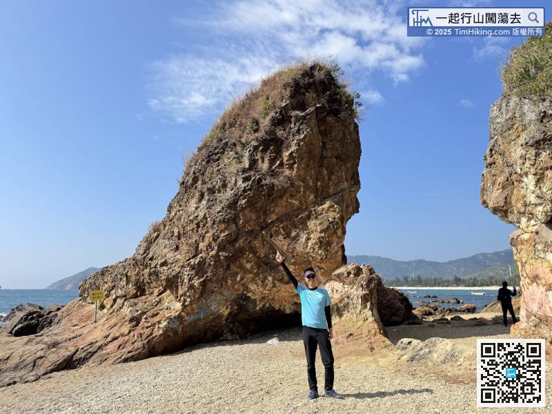
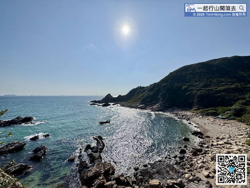
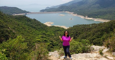
Transnasal Rock is so beautiful! It is definitely worth taking time to walk around,


