


 Recommend YouTube


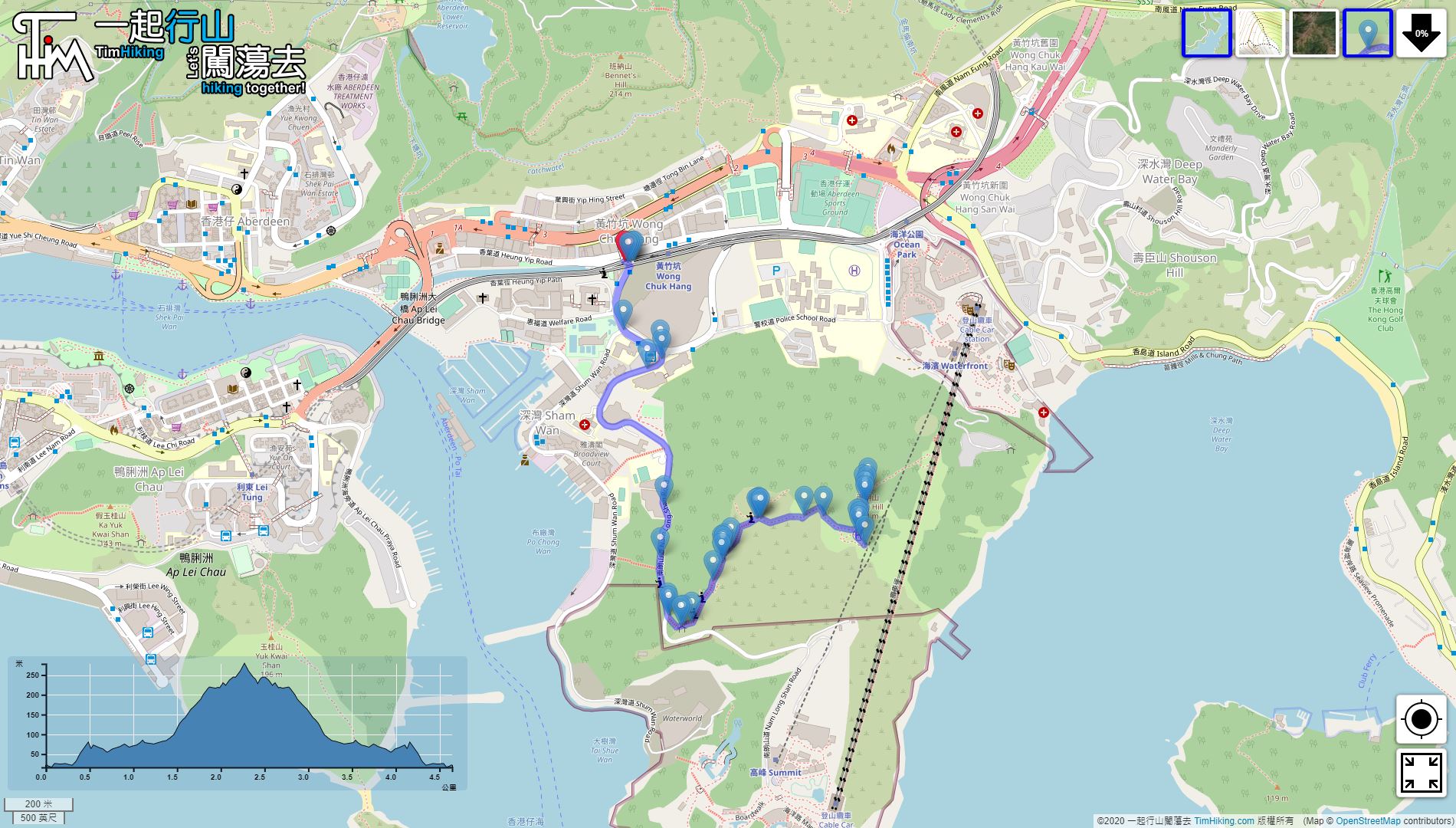


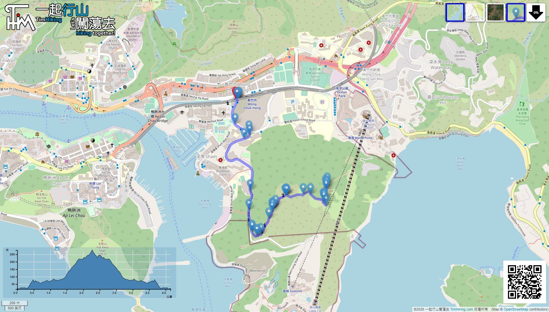
| View : |  | ||
| Difficulty : |  | ||
| Path : | |||
| Length : | 4.7km | ||
| Time : | 2hours | ||
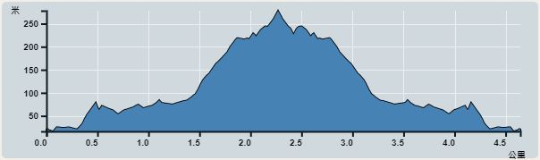 | |
| Ascent : 374m | Descent : 372m |
| Max : 278m | Min : 16m |
| (The accuracy of elevation is +/-30m) | |


Take the South Island Line to Wong Chuk Hang Station and get off, leave from Exit B,
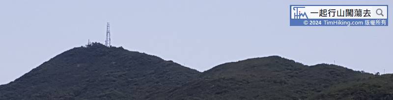
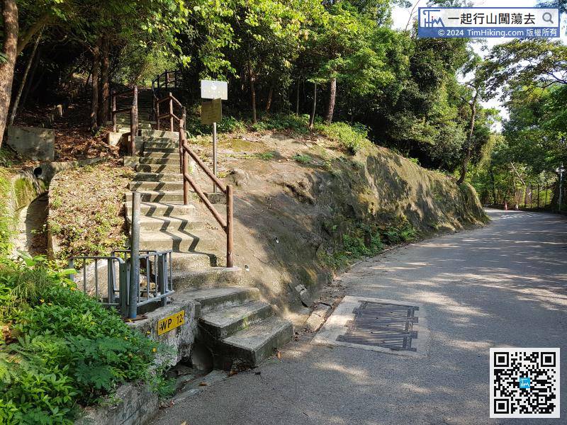
In less than 10 minutes, will see the entrance of the trail to Brick Hill on the left.


