


 Recommend YouTube


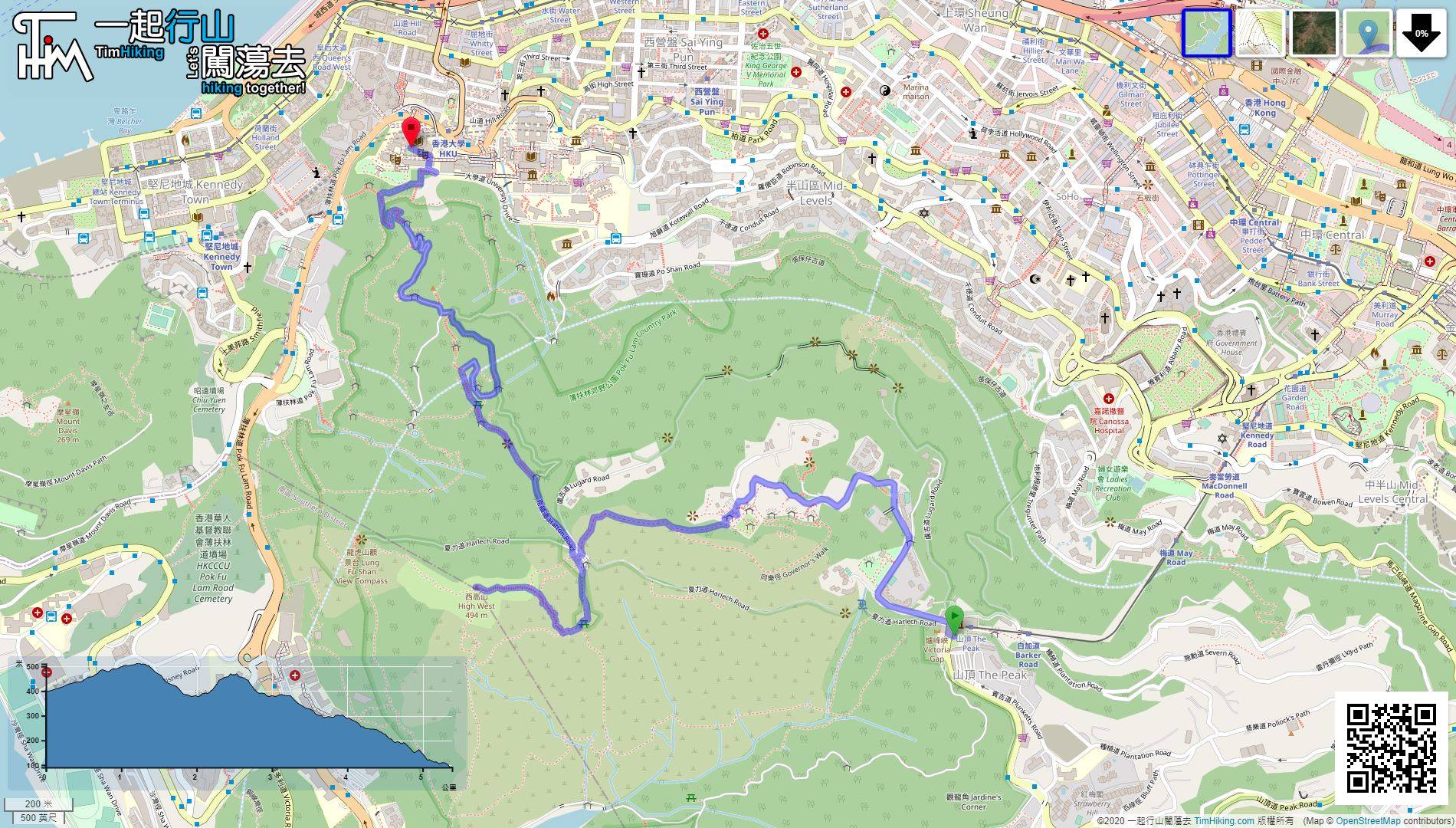
| View : |  | ||
| Difficulty : |  | ||
 (Reverse) | |||
| Path : | |||
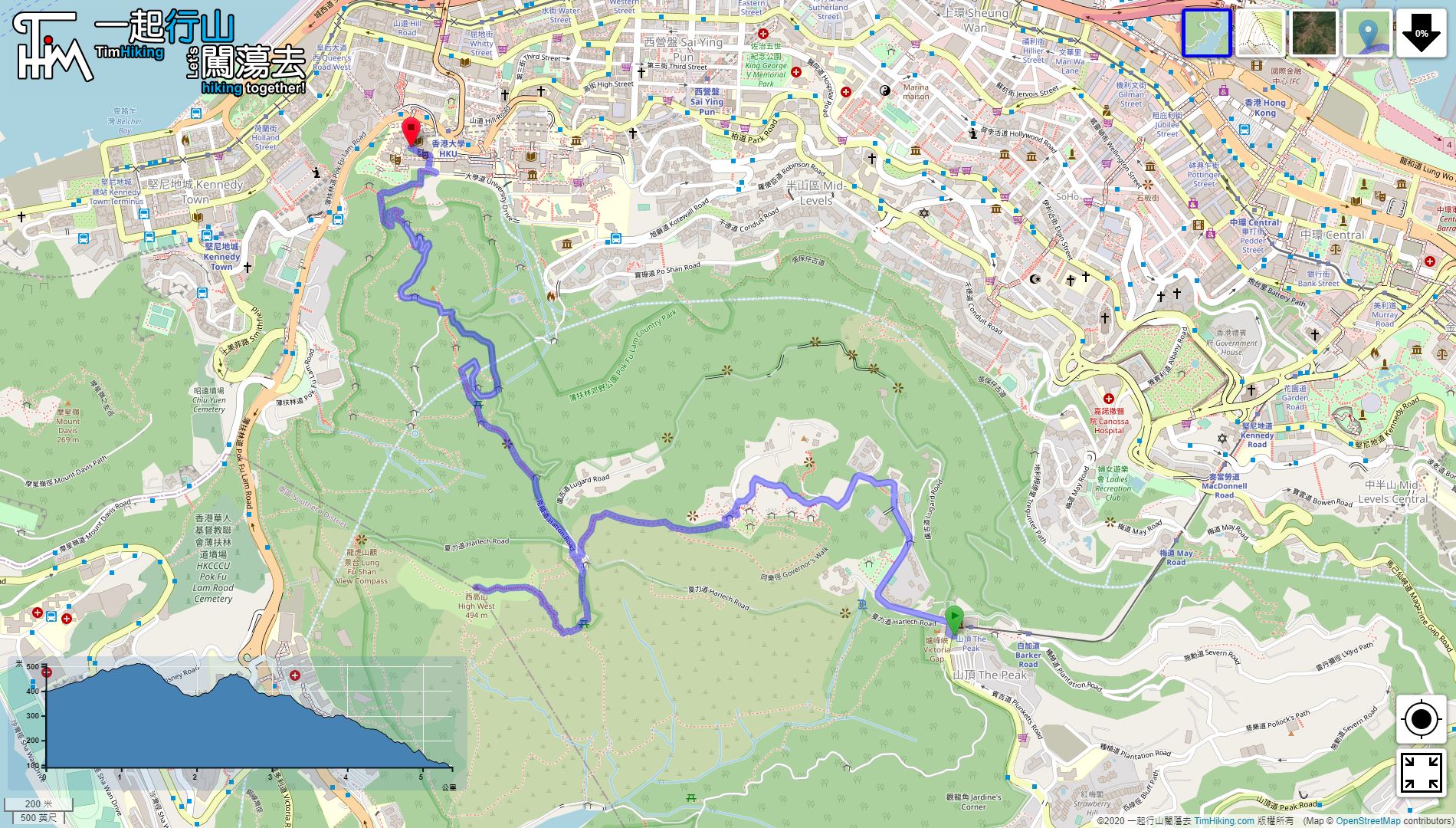
| Length : | 5.4km | ||
| Time : | 2hours | ||
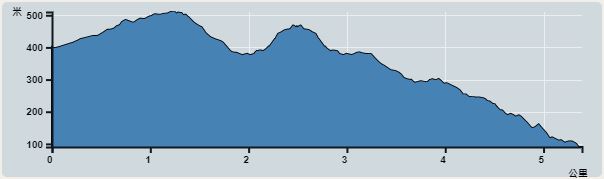 | |
| Ascent : 310m | Descent : 620m |
| Max : 510m | Min : 90m |
| (The accuracy of elevation is +/-30m) | |


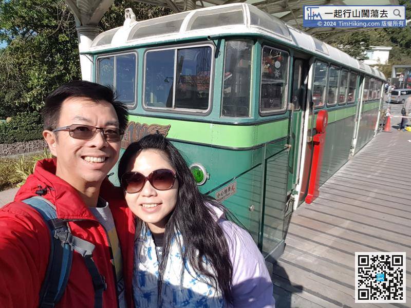
 Peak Galleria
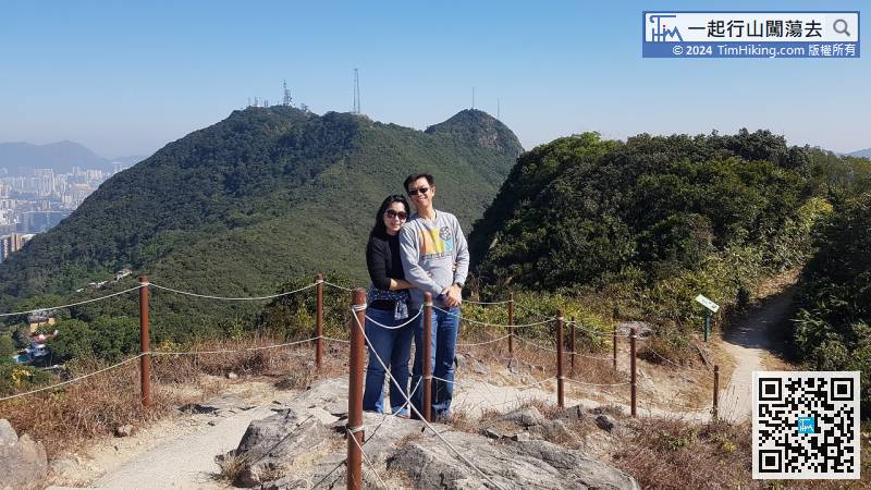
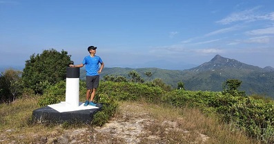
 21︰High West Trigonometrical Station
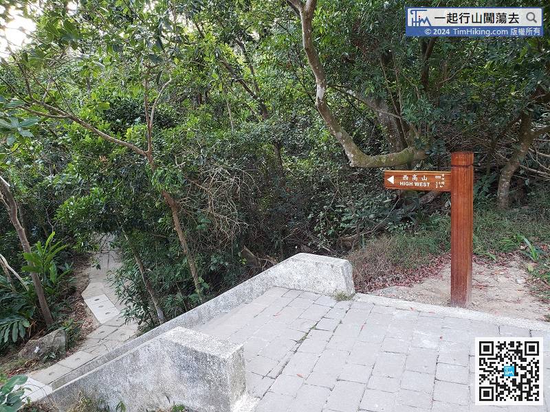
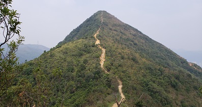
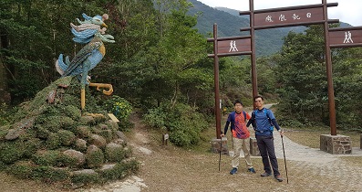
Hikers will see a short steps to the mountain trail which is the trail leading to the High West.
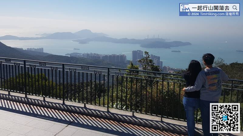
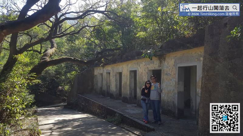
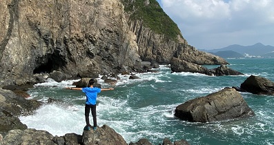
27︰Everywhere are the remains of sea defence and air defence forts


