


 Recommend YouTube

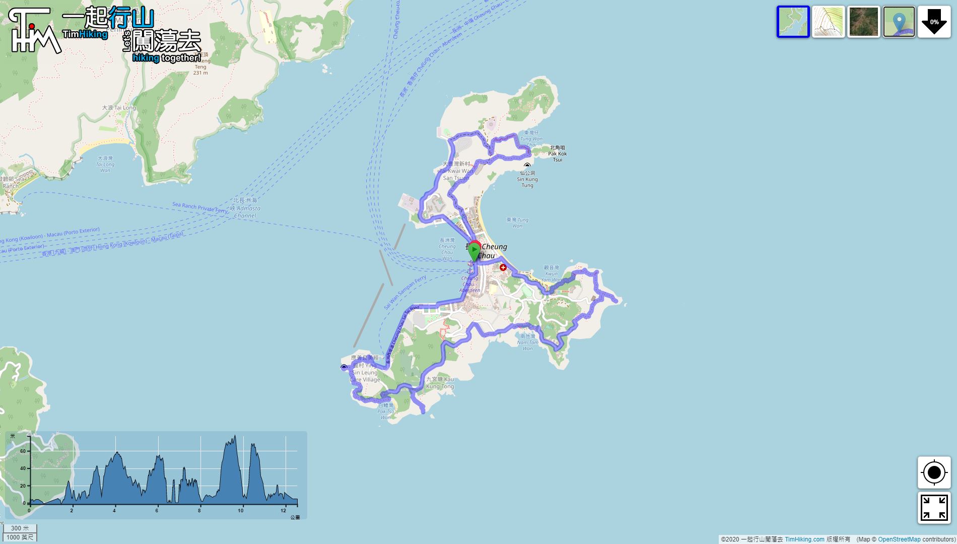

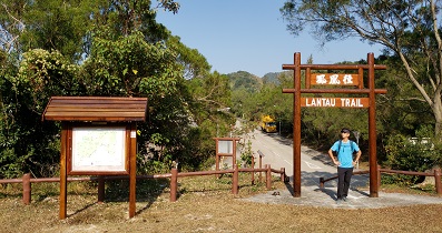
| View : |  | ||
| Difficulty : |  | ||
 (不去Shark Fin Rock) | |||
| Path : | |||
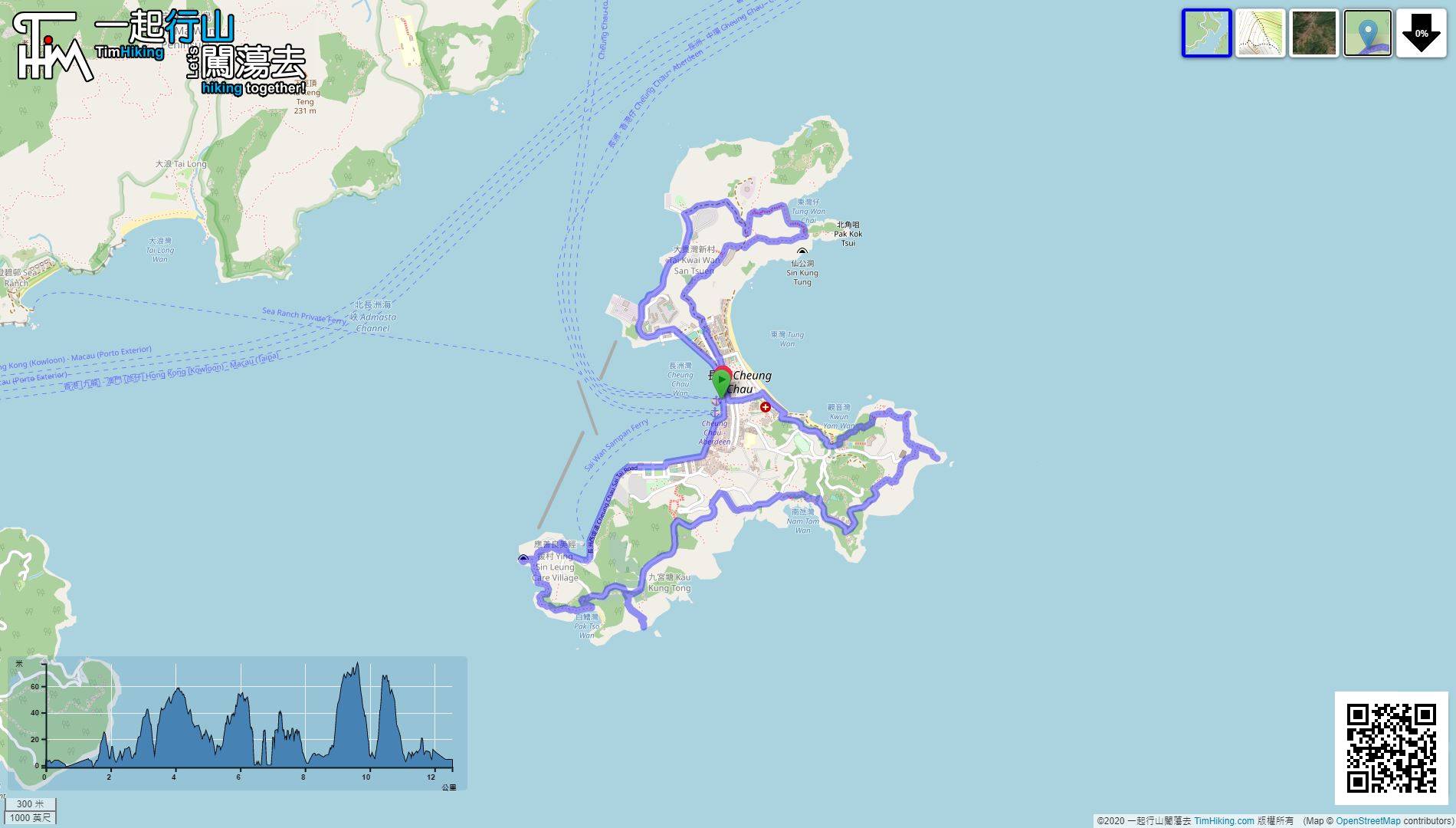
| Length : | 12.6km | ||
| Time : | 5hours | ||
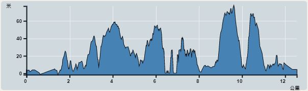 | |
| Ascent : 584m | Descent : 580m |
| Max : 77m | Min : 0m |
| (The accuracy of elevation is +/-30m) | |


 周圍都有 Store
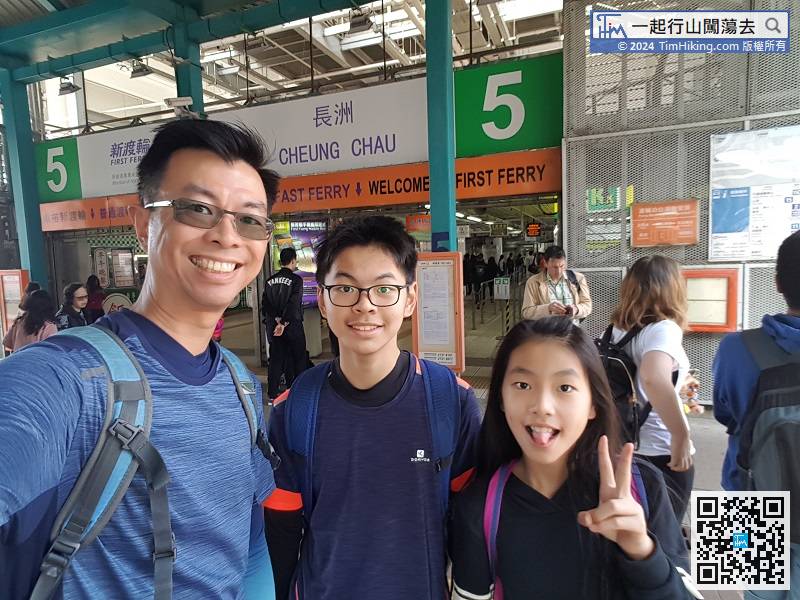
If going to Cheung Chau to eat, drink, play, and have fun, it is best for a small family.
 22︰Near the fork of Cheung Chau cemetery, keep to the right,
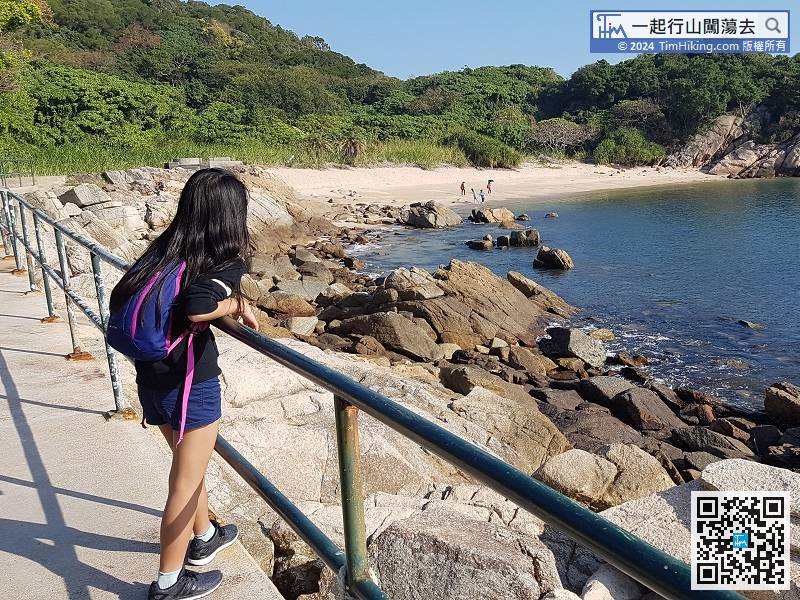
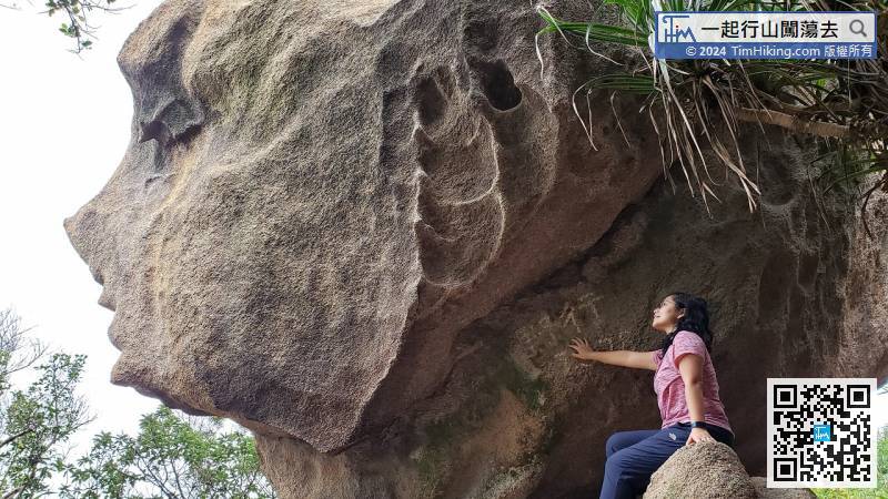
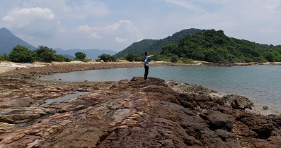
Going further is Pak Tso Wan, a very beautiful and uninhabited beach.
 59︰The steps will fall to the beach, so think about it before going down.
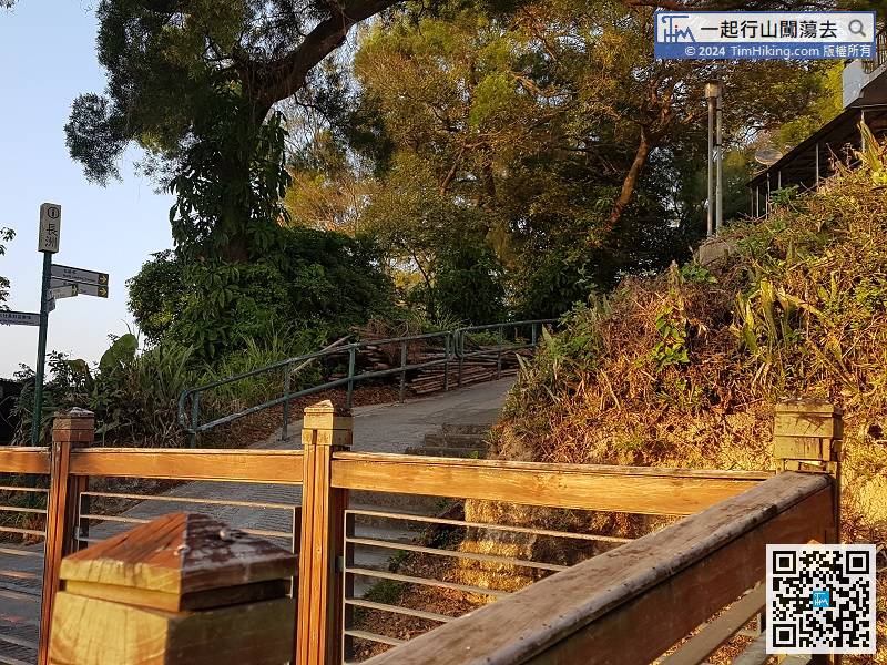
ass Pak She Street, then pass through the golf course of Baobao Mountain, and follow the mountain road on the left.
62︰and fall until reaching the beach.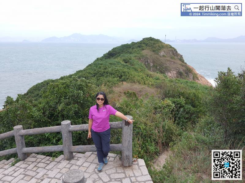
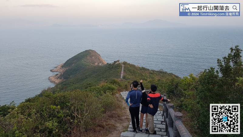
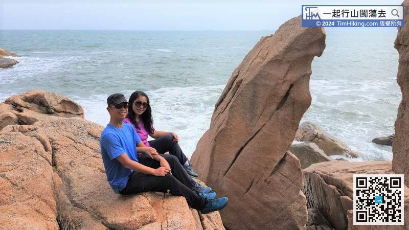
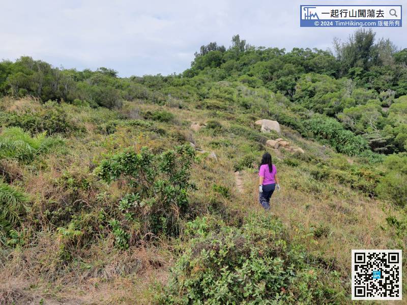
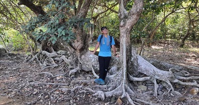
At the end, there is another barren trail heading to the edge of Pa Kok Tsui. If feeling interested, can walk on your own.
68︰Keep to the right at the next bifurcation,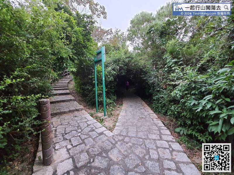


