


 Recommend YouTube


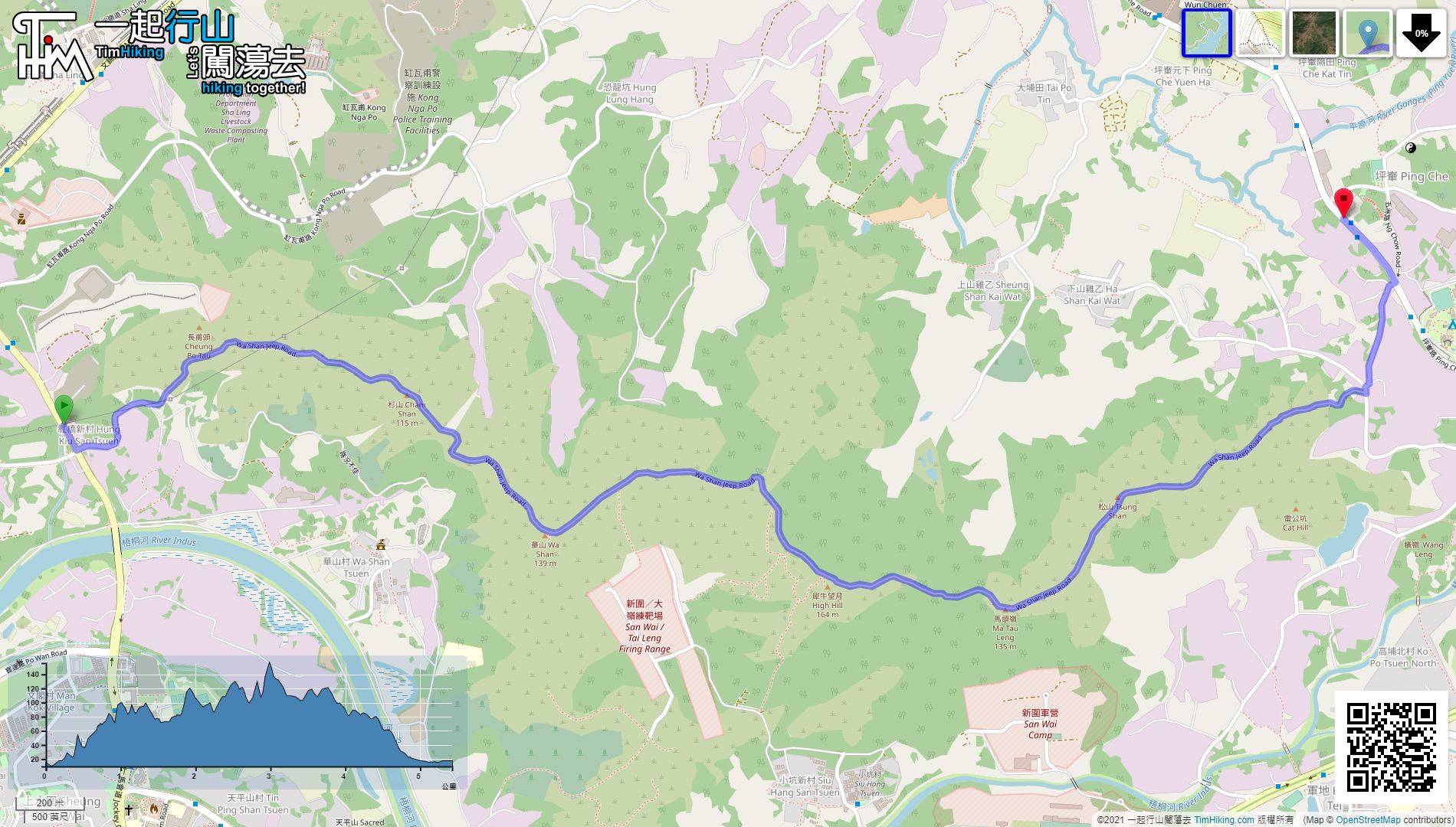
| View : |  | ||
| Difficulty : |  | ||
| Path : | |||
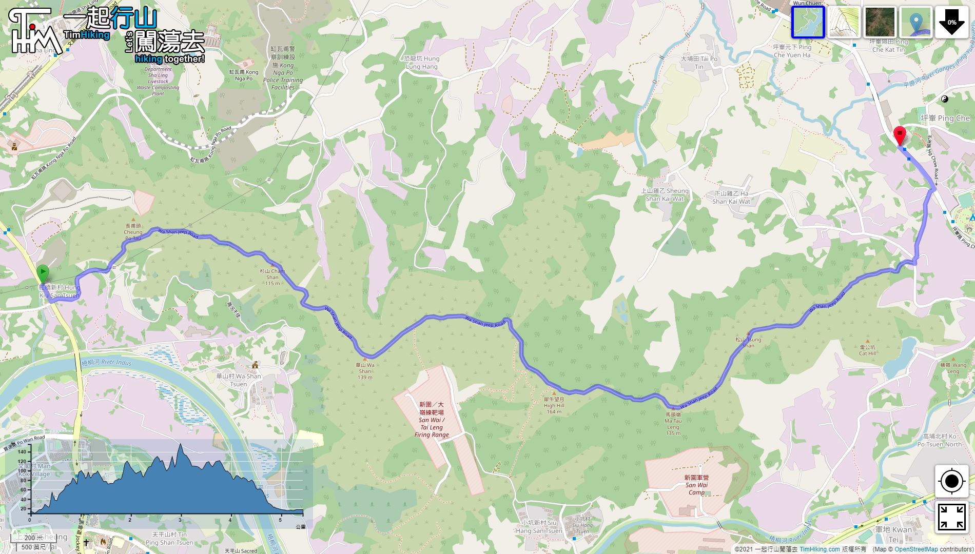
| Length : | 5.5km | ||
| Time : | 3hours | ||
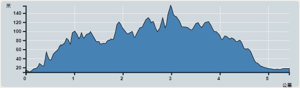 | |
| Ascent : 333m | Descent : 330m |
| Max : 156m | Min : 10m |
| (The accuracy of elevation is +/-30m) | |


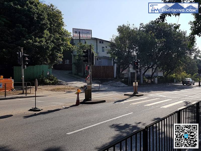
The starting point is at Fu Tei Au. Hikers can take the bus 73K from Sheung Shui Station and get off at Fu Tei Au bus stop to get to the foot of the mountain.

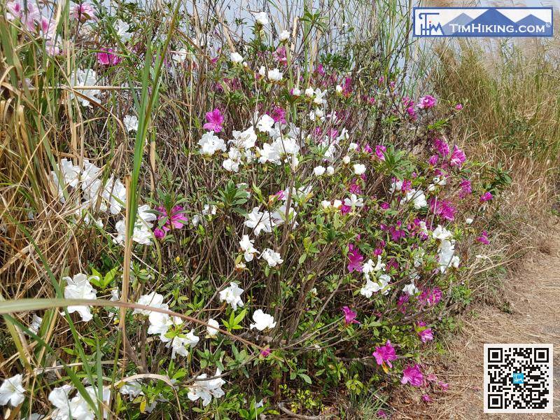
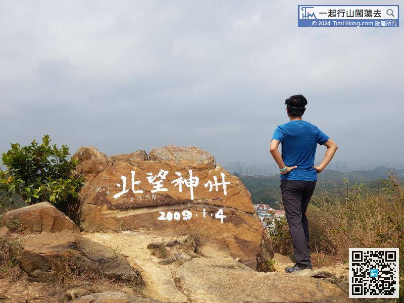
In the desolate hill, two very lush Rhododendron flowers suddenly appeared. The ordinary white flowers and red flowers looked gorgeous.
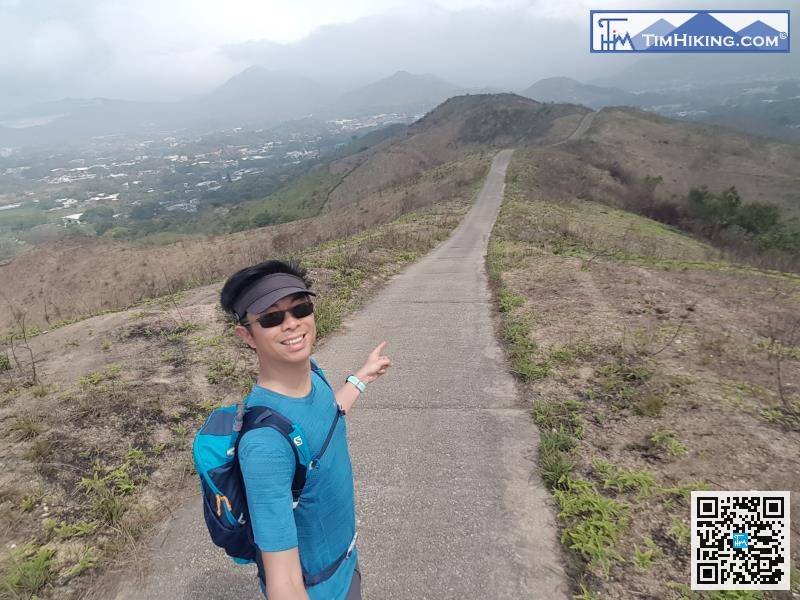
The next section is the downhill section, and walk down for less than 10 minutes to reach the foot of the mountain.


