


 Recommend YouTube


| View : |  | ||
| Difficulty : |  | ||
| Path : | |||
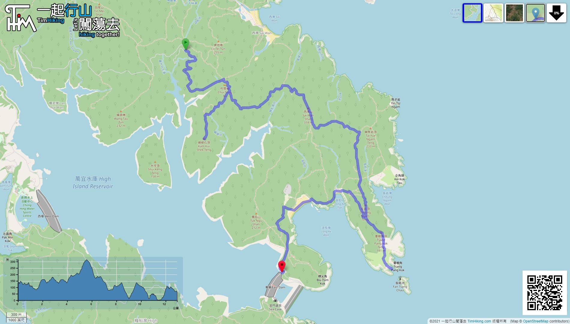
| Length : | 13km | ||
| Time : | 6hours | ||
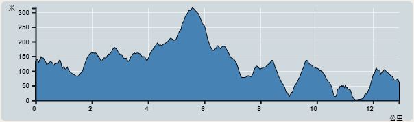 | |
| Ascent : 866m | Descent : 937m |
| Max : 310m | Min : 0m |
| (The accuracy of elevation is +/-30m) | |


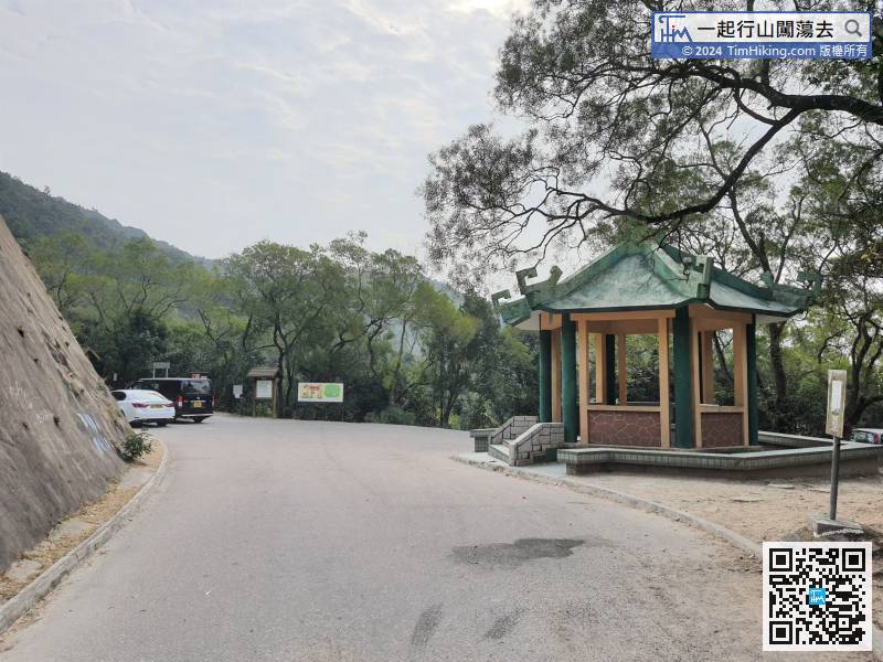
 17︰Pay attention to the MacLehose Trail signs along the road.
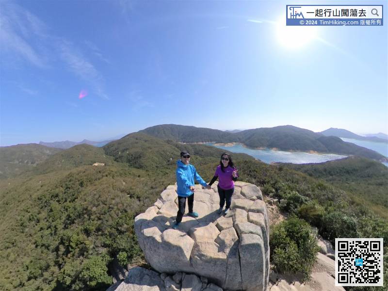
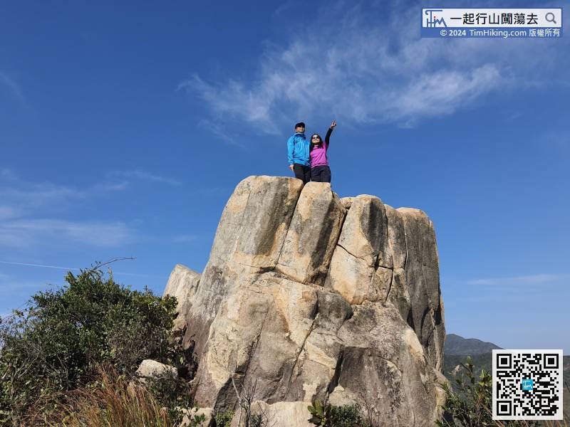
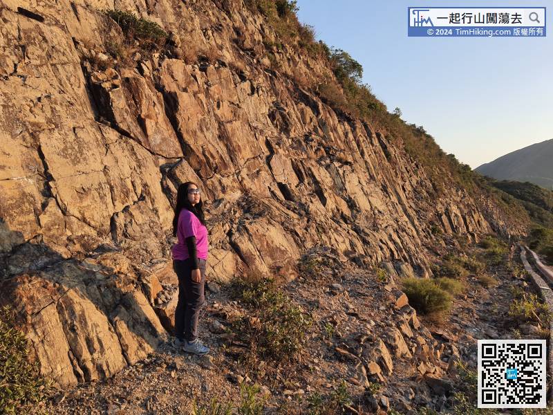
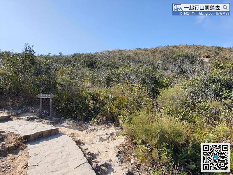 32︰Kam Kui Shek Teng is composed of hexagonal pillars
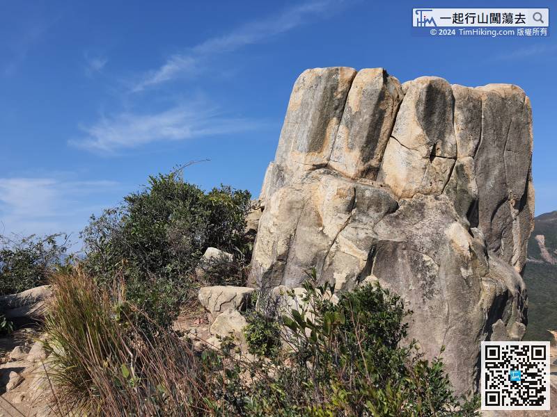
About half an hour from the MacLehose Trail to Kam Kui Shek Teng,
47︰and the target is M025, a total of about 1.6km.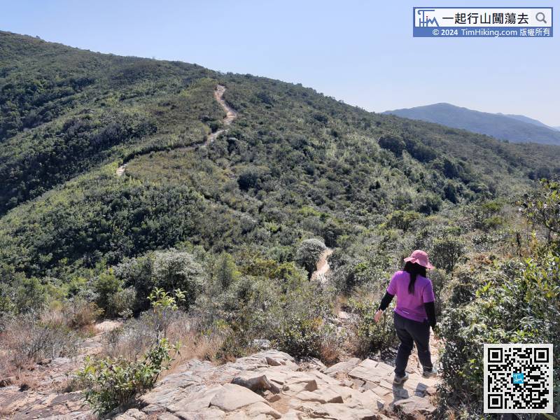
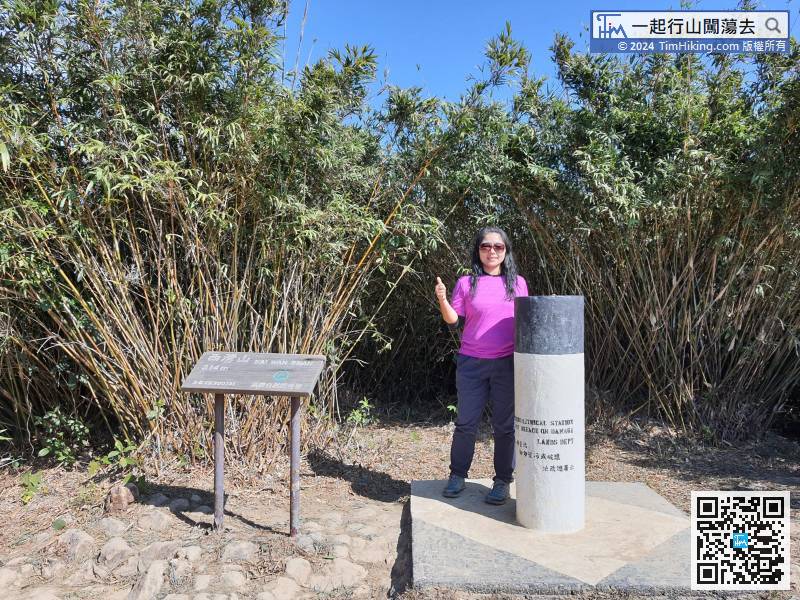
The next step is to follow the MacLehose Trail (Section 2) to Sai Wan Shan,
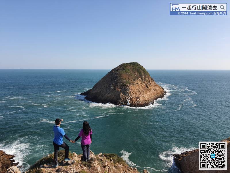
60︰Watch out for the barren trail intersection on the left,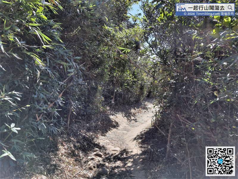 77︰and finally will directly look at Tsang Pang Kok Tsui to fall.
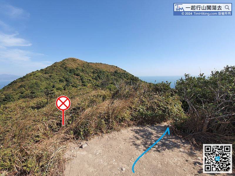
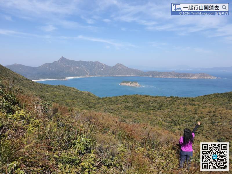
Keep left on the small platform is the way to Tai Yue Ngam Teng, keep right to Tsang Pang Kok Tsui directly.
98︰Just moving a little bit more forwards,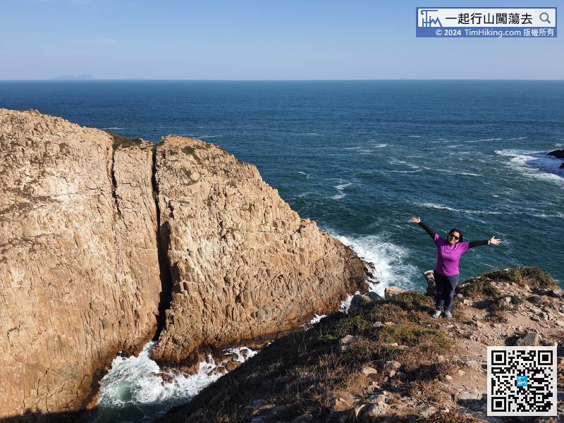
There are hexagonal pillars all around. Some of the small headlands seem to have been cut by the big waves.
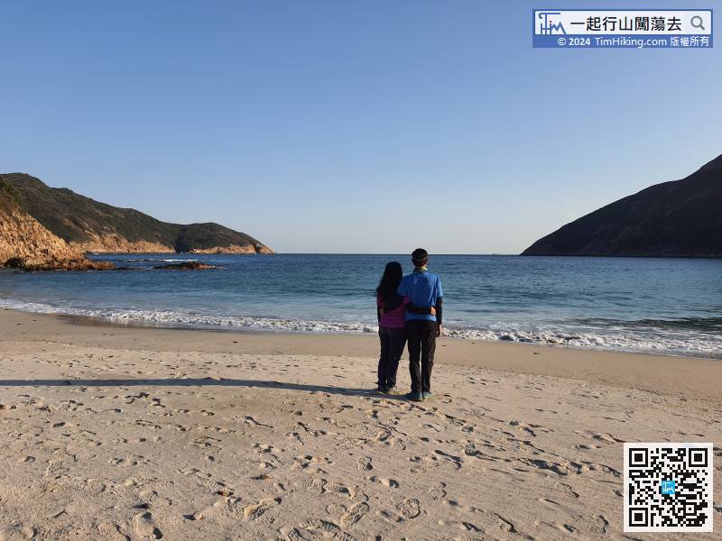
110︰The sand in Long Ke Chai is not very fine, but the water is very clear.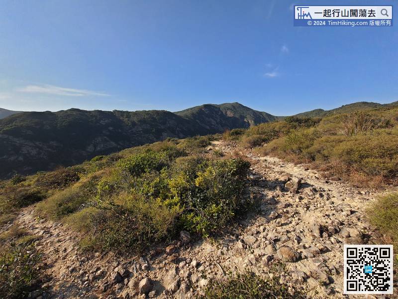 111︰Walking to the other end of the beach,
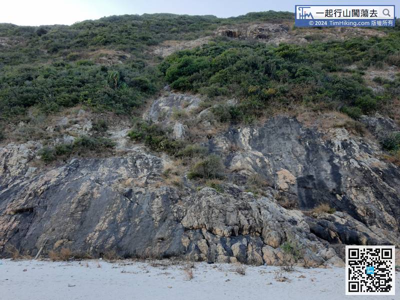 134︰and the hexagonal column cliffs along the way with the sunset afterglow
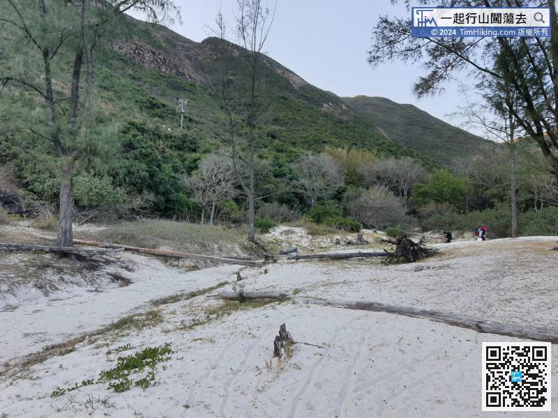


