


 Recommend YouTube


| View : |  | ||
| Difficulty : |  | ||
| Path : | |||
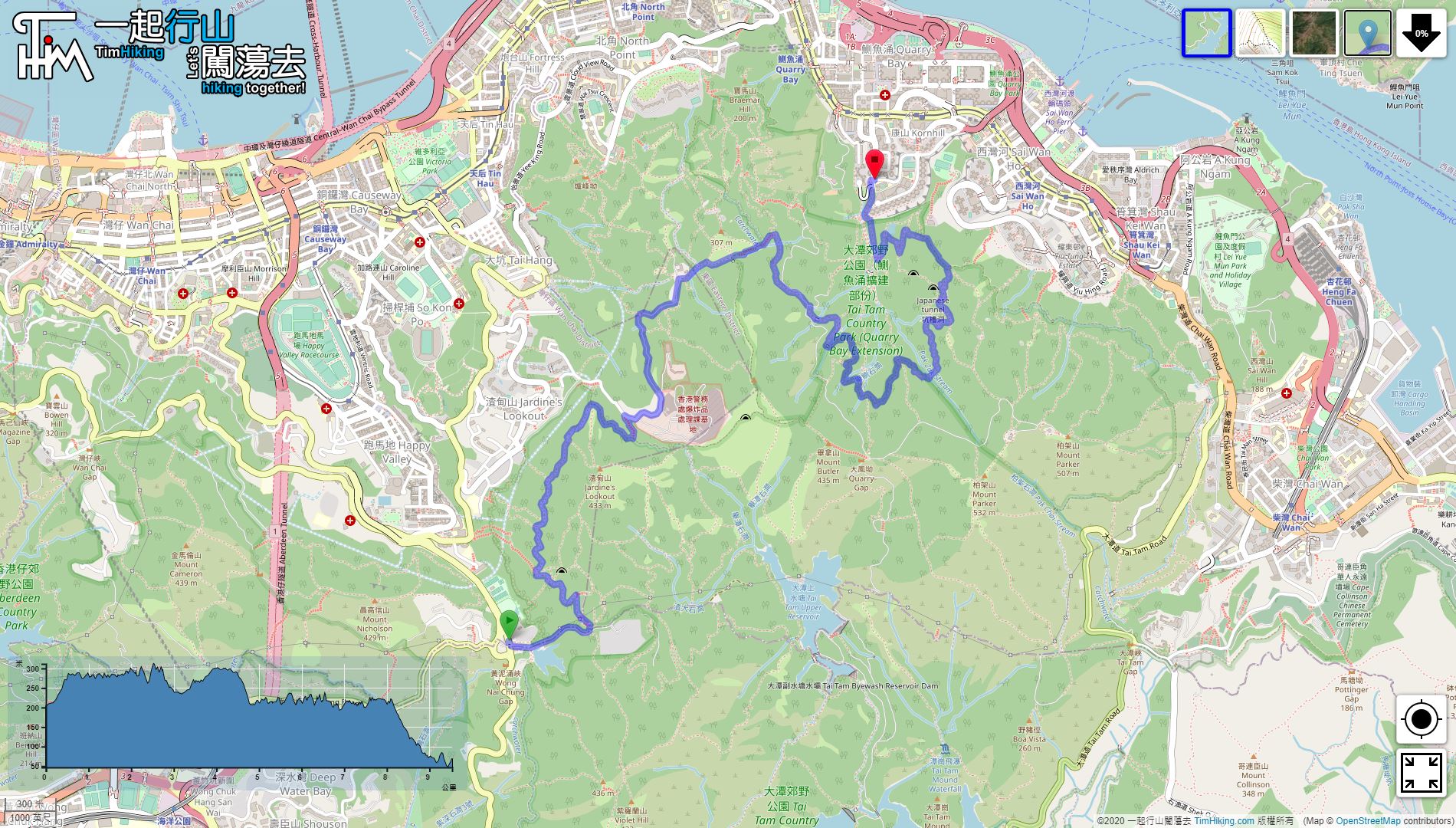
| Length : | 9.5km | ||
| Time : | 4hours | ||
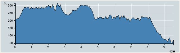 | |
| Ascent : 747m | Descent : 872m |
| Max : 312m | Min : 46m |
| (The accuracy of elevation is +/-30m) | |


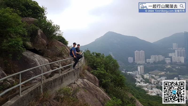
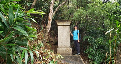
Just a while, the coming bottom is the truly Skyline Path.

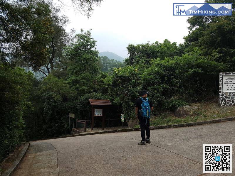
Note that there is a fork in the road very close, turn left, will see a map sign on the right.
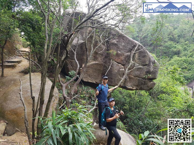
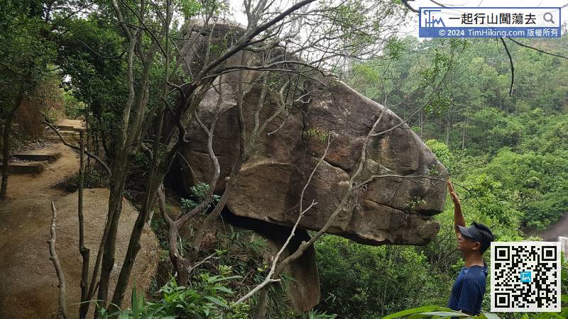
It is a big dinosaur head, it comes out from the grass and peeks at me.


