


 Recommend YouTube


| View : |  | ||
| Difficulty : |  | ||
| Path : | |||
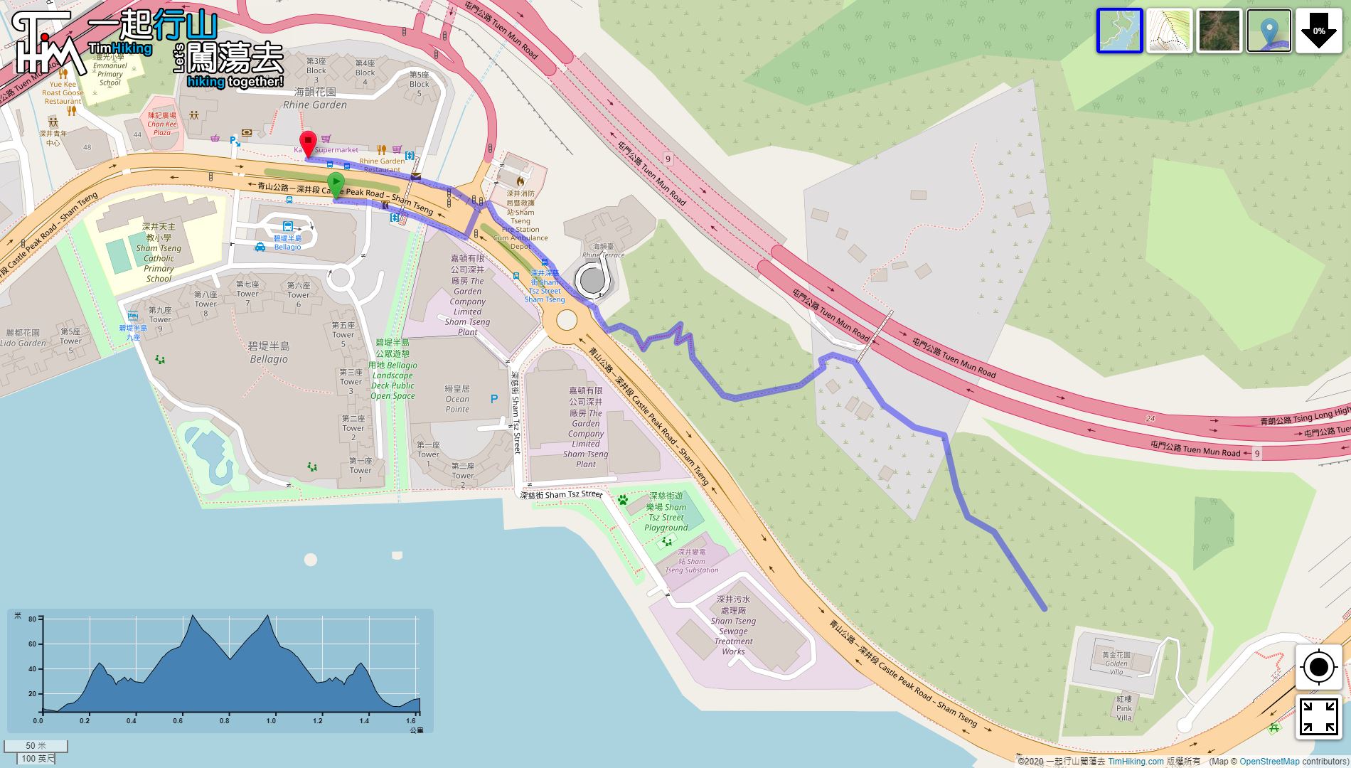
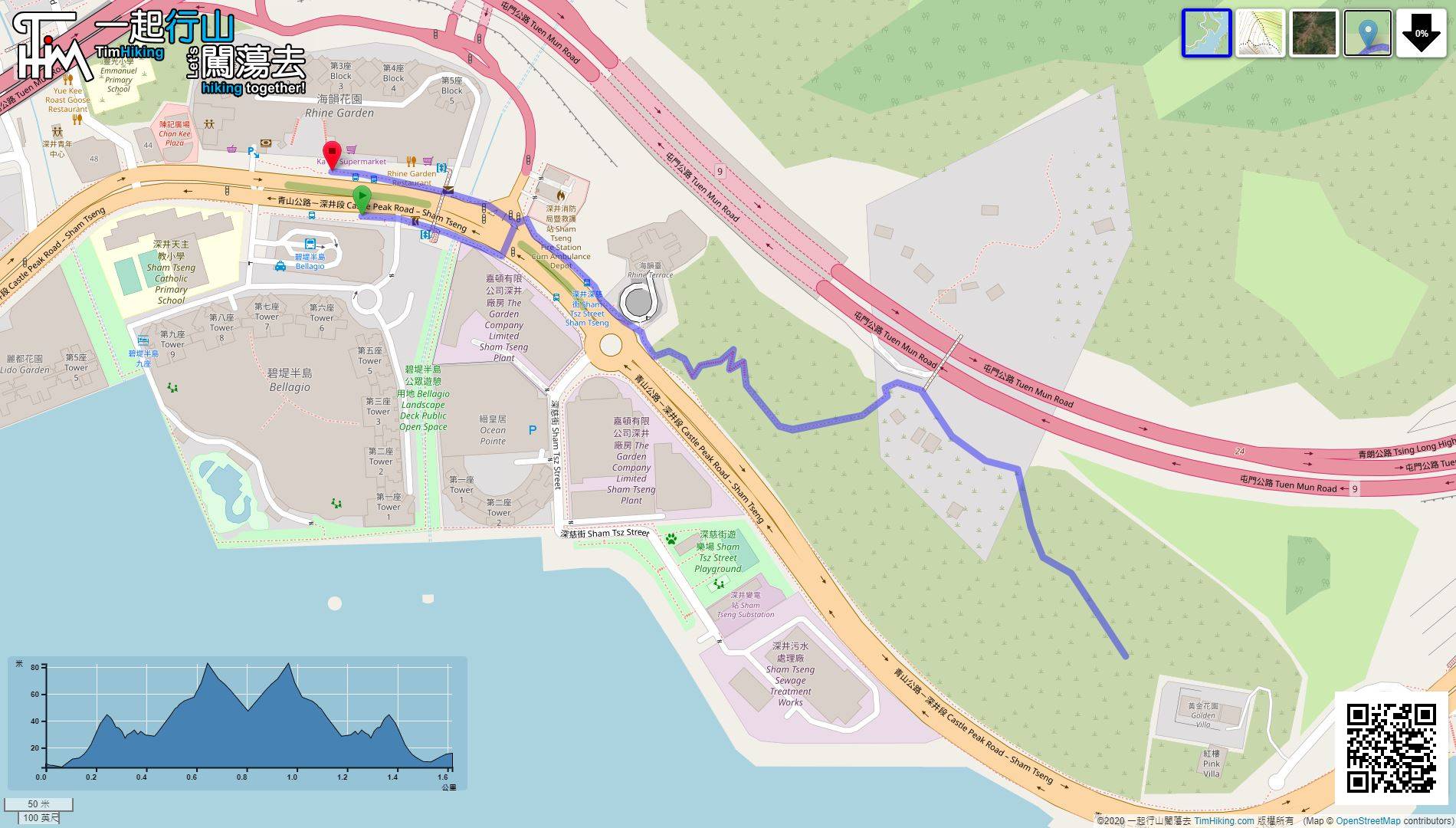
| Length : | 1.7km | ||
| Time : | 1hours | ||
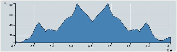 | |
| Ascent : 168m | Descent : 158m |
| Max : 83m | Min : 5m |
| (The accuracy of elevation is +/-30m) | |


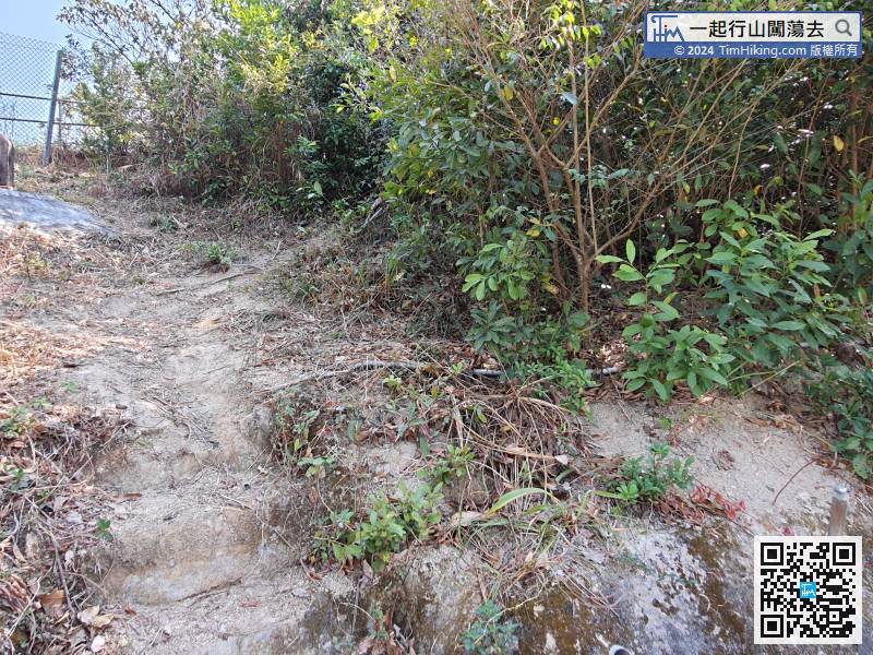
 8︰After crossing the road, there is an intersection on the left, from here up the mountain,
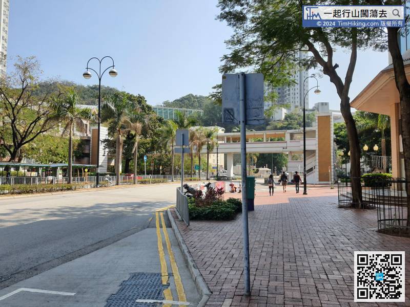
There are many transportations to Sham Tseng, there are minibuses and buses.

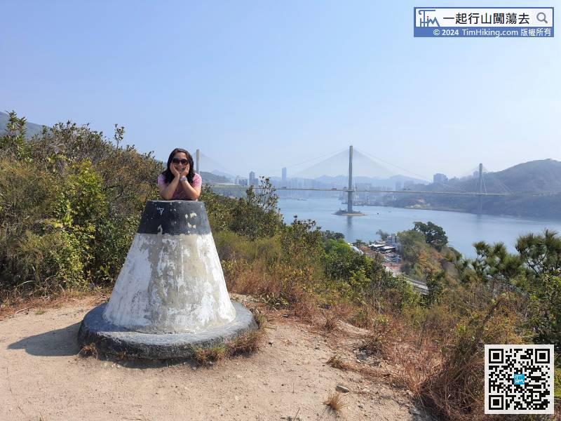
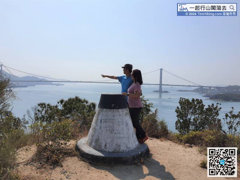
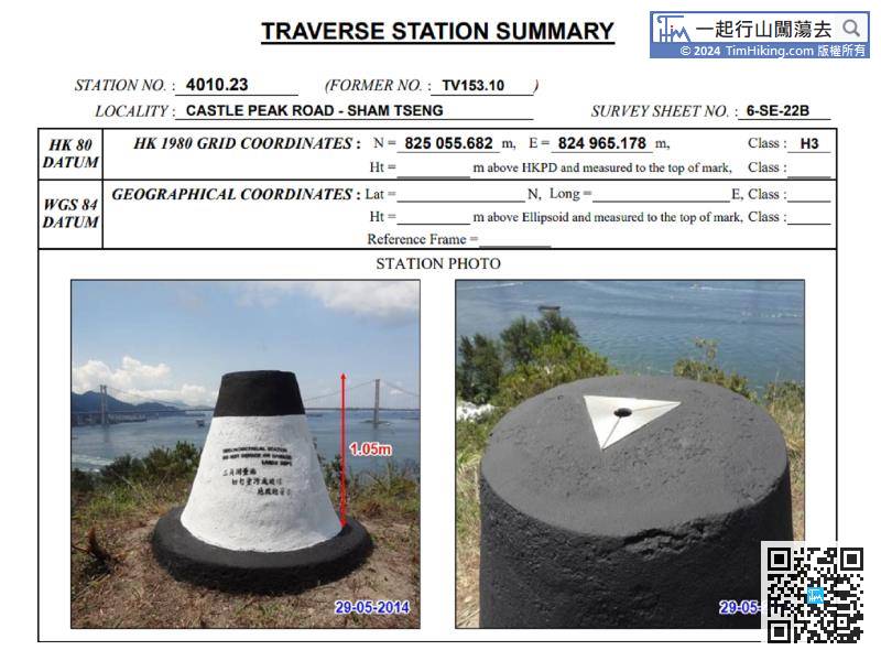
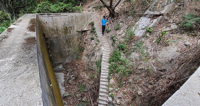
The trail to the fat trig-station has become more obvious than it was many years ago.
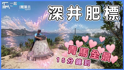
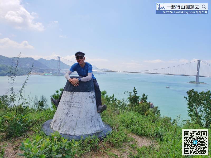
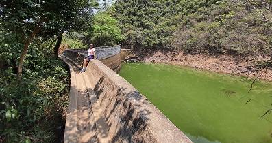
31︰The scenery of fat trig-station is very beautiful,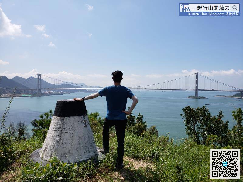


