


 Recommend YouTube


| View : |  | ||
| Difficulty : |  | ||
 (skip trigonometrical station) | |||
| Path : | |||
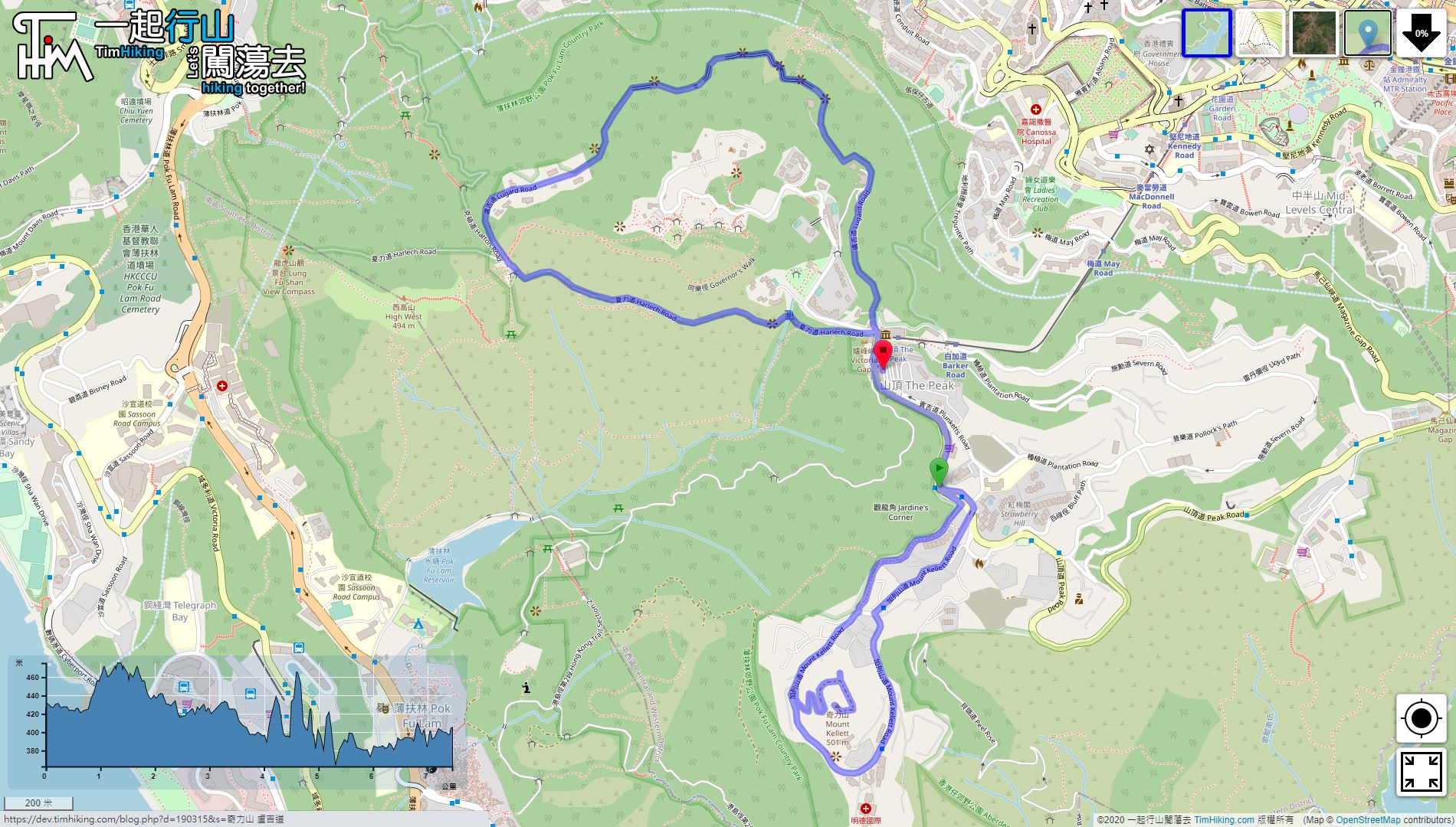
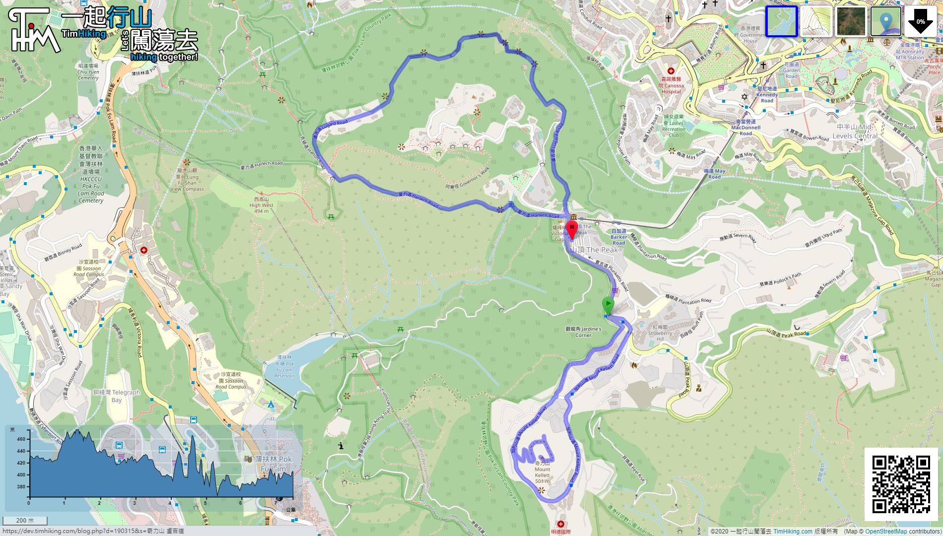
| Length : | 7.5km | ||
| Time : | 2½hours | ||
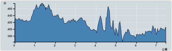 | |
| Ascent : 252m | Descent : 281m |
| Max : 478m | Min : 364m |
| (The accuracy of elevation is +/-30m) | |


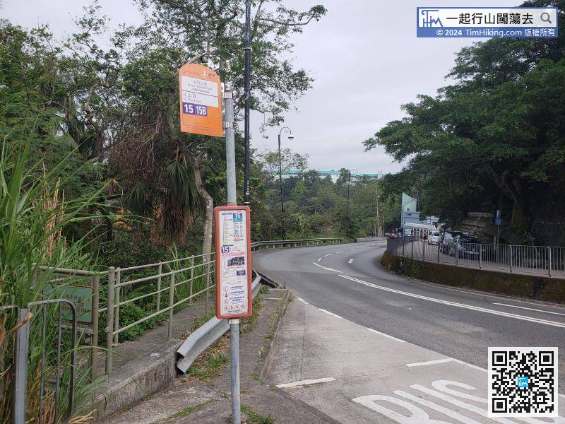
This time, using the most casual way to go to the top of the mountain, take bus 15 from Admiralty to the top of the mountain and get off at Mount Kellett Road bus stop.
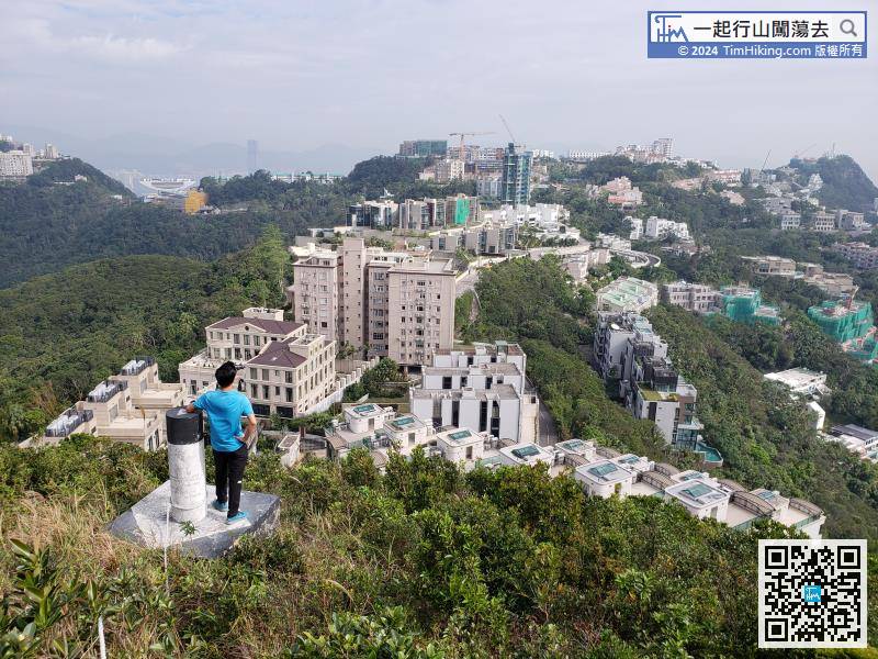
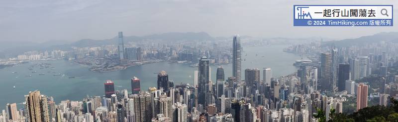
 13︰When falling to the trigonometrical station, although it is not the top of the mountain, hikers can overlook the entire Mount Kellett mansion group from a close range.
When falling to the trigonometrical station, although it is not the top of the mountain, hikers can overlook the entire Mount Kellett mansion group from a close range.
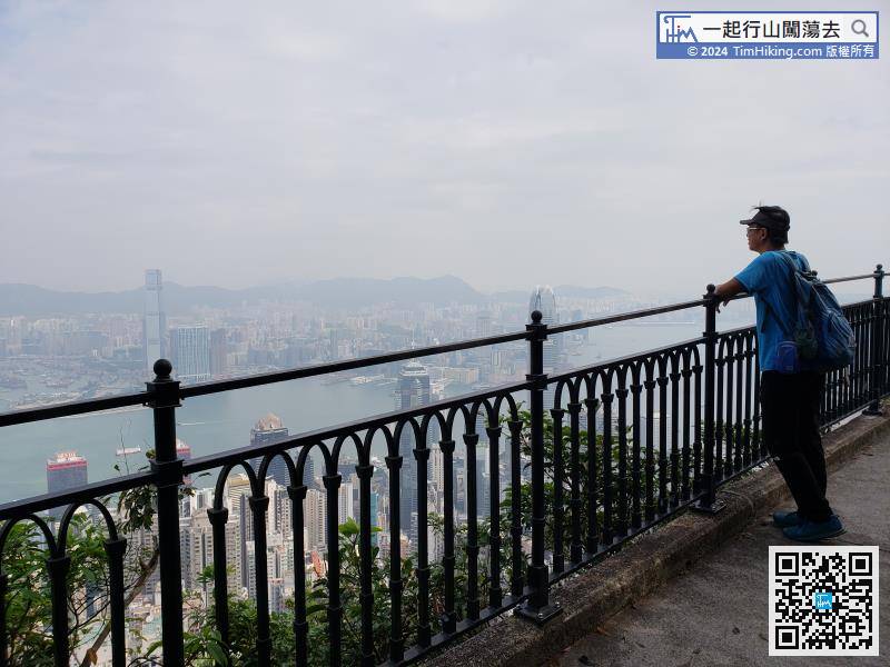
25︰Soon will arrive at The Peak Tower. There are not too many tourists in the morning on a weekday. So, decide to turn to Lugard Road.
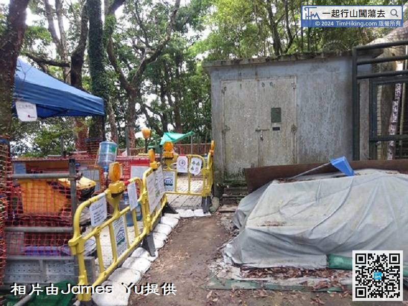
Hikers please pay attention: After Mount Kellett carried out civil works in July 2020, a barbed wire fence was installed to enclose the top of the mountain.


