


 Recommend YouTube


| View : |  | ||
| Difficulty : |  | ||
| Path : | |||
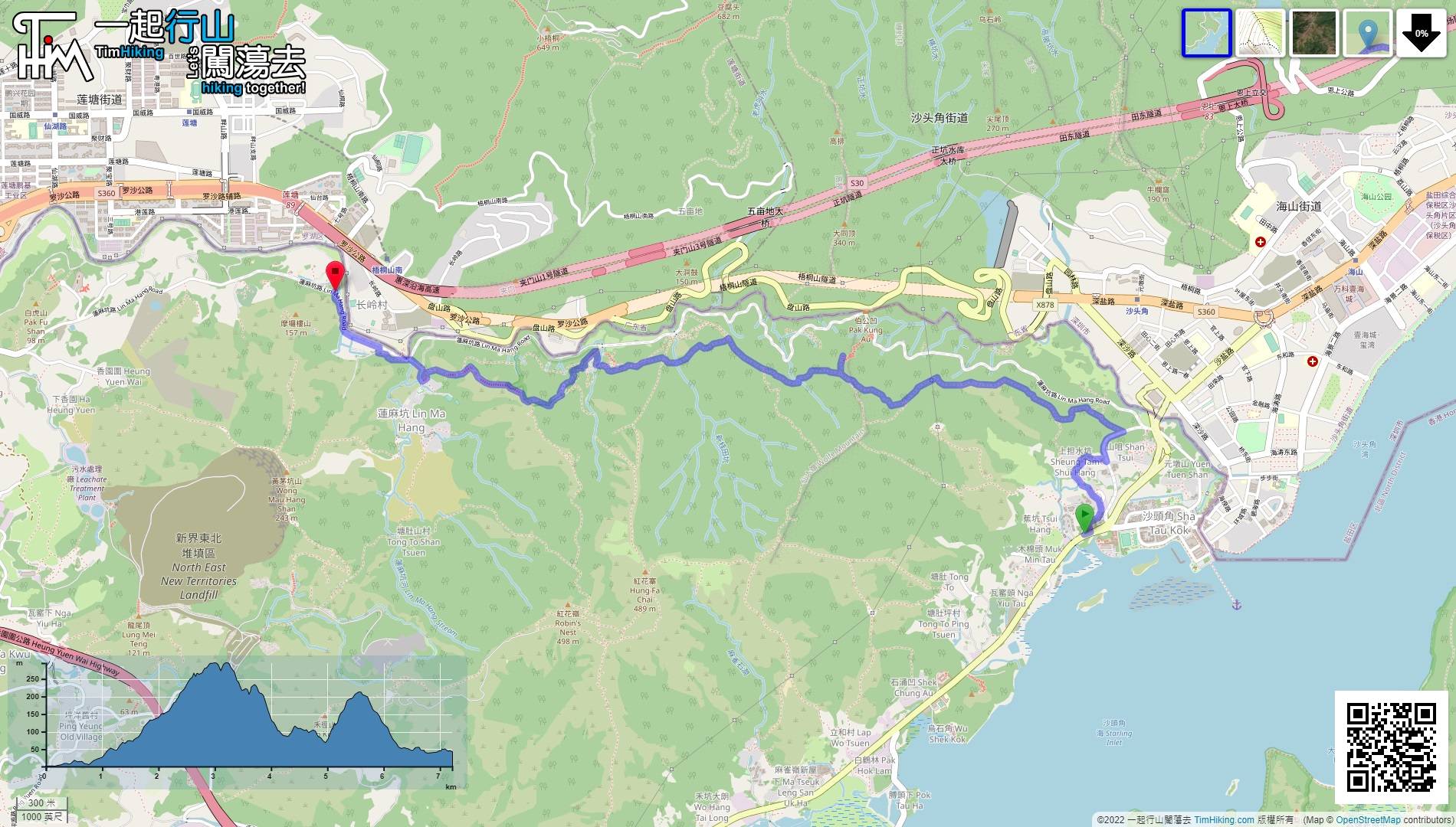
| Length : | 7.3km | ||
| Time : | 4½hours | ||
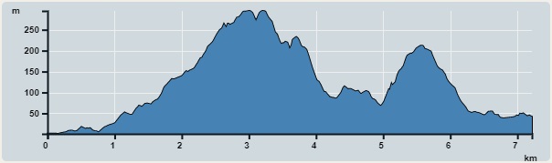 | |
| Ascent : 595m | Descent : 554m |
| Max : 295m | Min : 1m |
| (The accuracy of elevation is +/-30m) | |


 7︰Turning left is a shortcut to the village road.
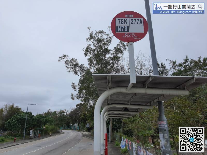
First, take bus 78K to Sha Tau Kok and get off at Tam Shui Hang bus stop in front of the restricted area.
23︰On the opposite side of the road,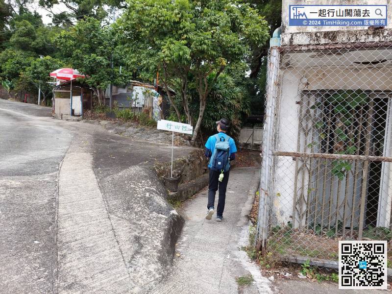
Keep right and follow the sign to the mountain trail.
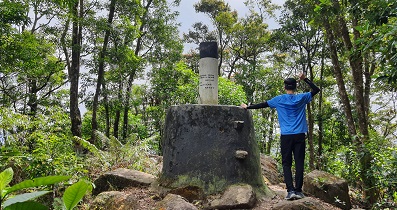
42︰After walking for a while, will come to another high Trigonometrical Station.
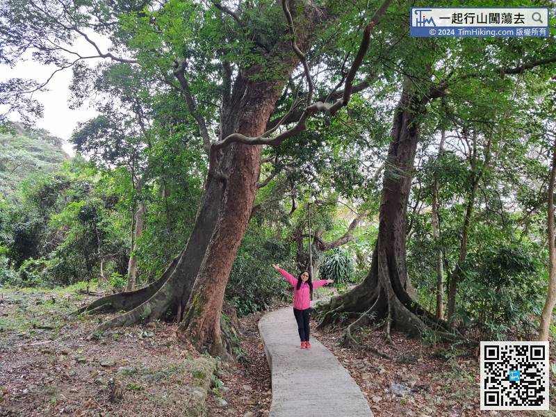
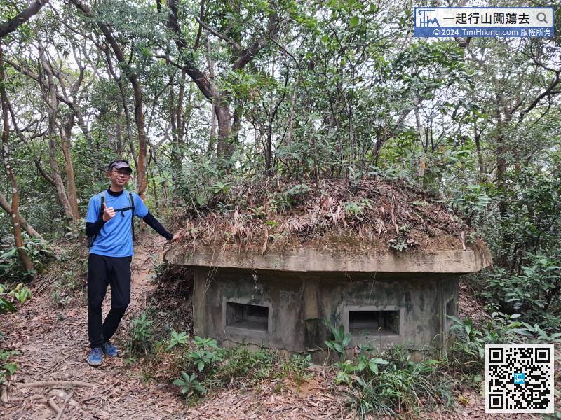
After exploring the ruins of World War II, keep going straight,
53︰Come to the second fork,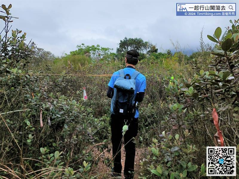 70︰and there are many occasional forks.
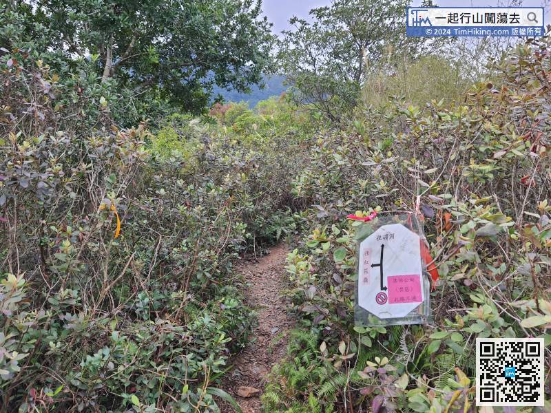
After visiting Macintosh Fort (Pak Kung Au), go back to the fork
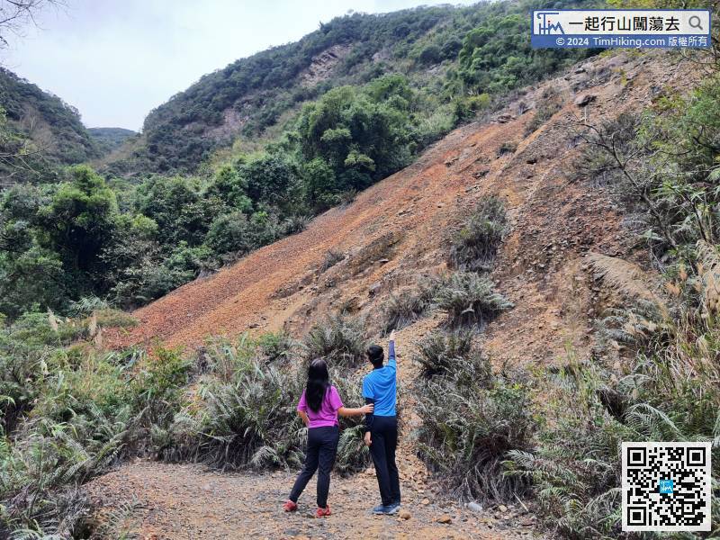
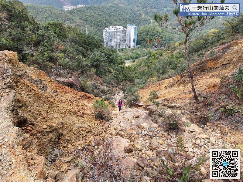
87︰The gravel slope is very sloppy, it is not recommended to climb up, because it is easy to get up and hard to fall.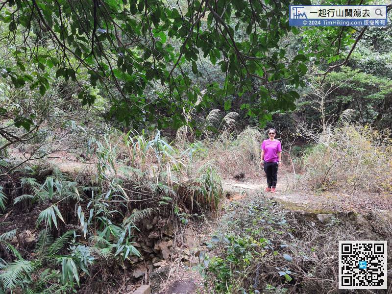
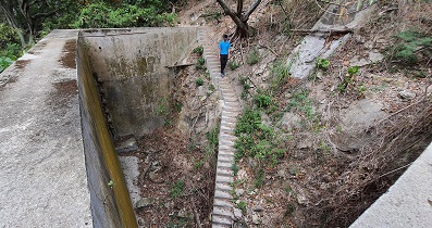
Come to the other side of the arch bridge,
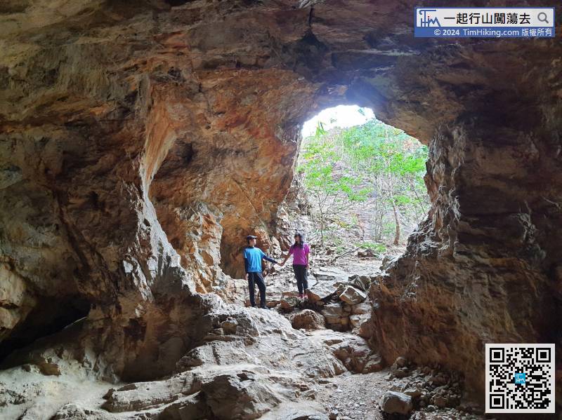
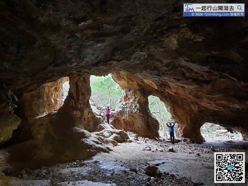
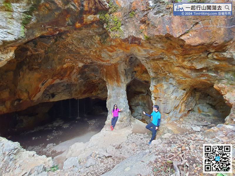
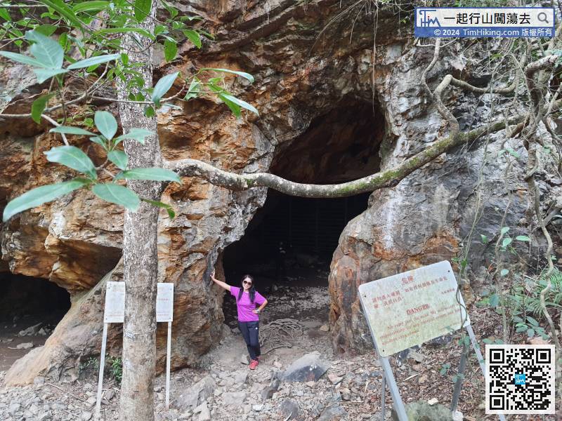
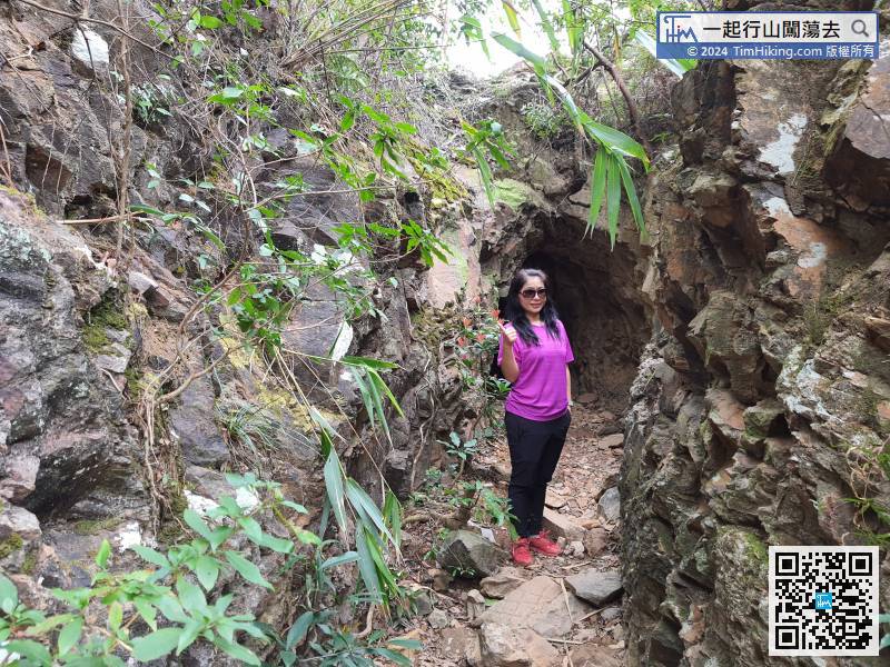
111︰After careful observation, one of the cave openings is heart-shaped.
When getting to the lobby, it is very spectacular. The mine was supported by three main rock pillars.
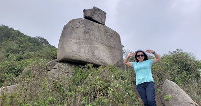
124︰Just a few steps away, will arrive at Macintosh Fort with very good scenery,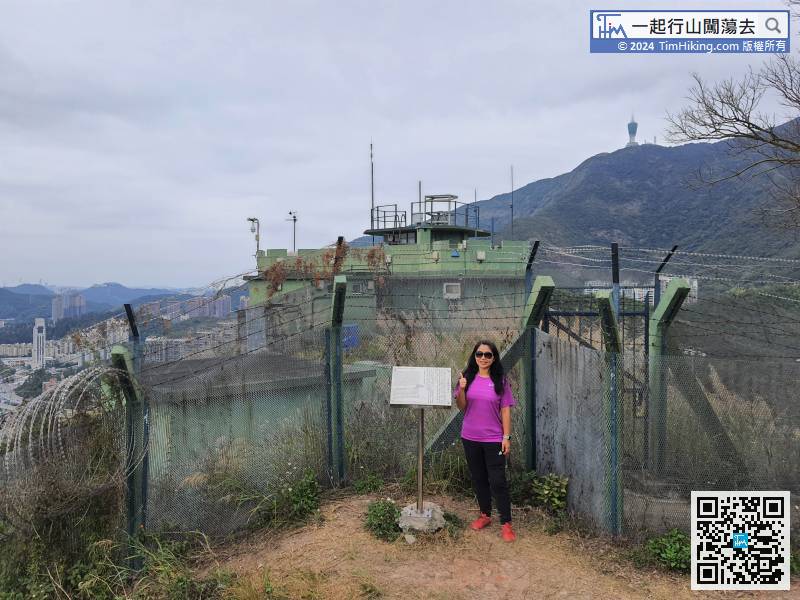
Just a few steps away, will arrive at Macintosh Fort with very good scenery,
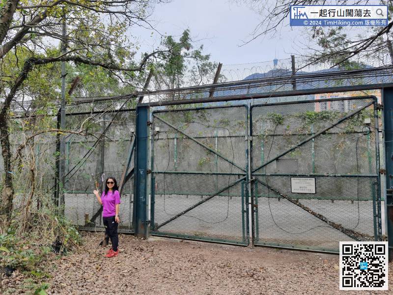
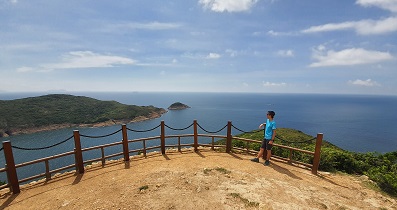
Next, leaning against the barbed wire in the restricted area,


