


 Recommend YouTube


| View : |  | ||
| Difficulty : |  | ||
| Path : | |||
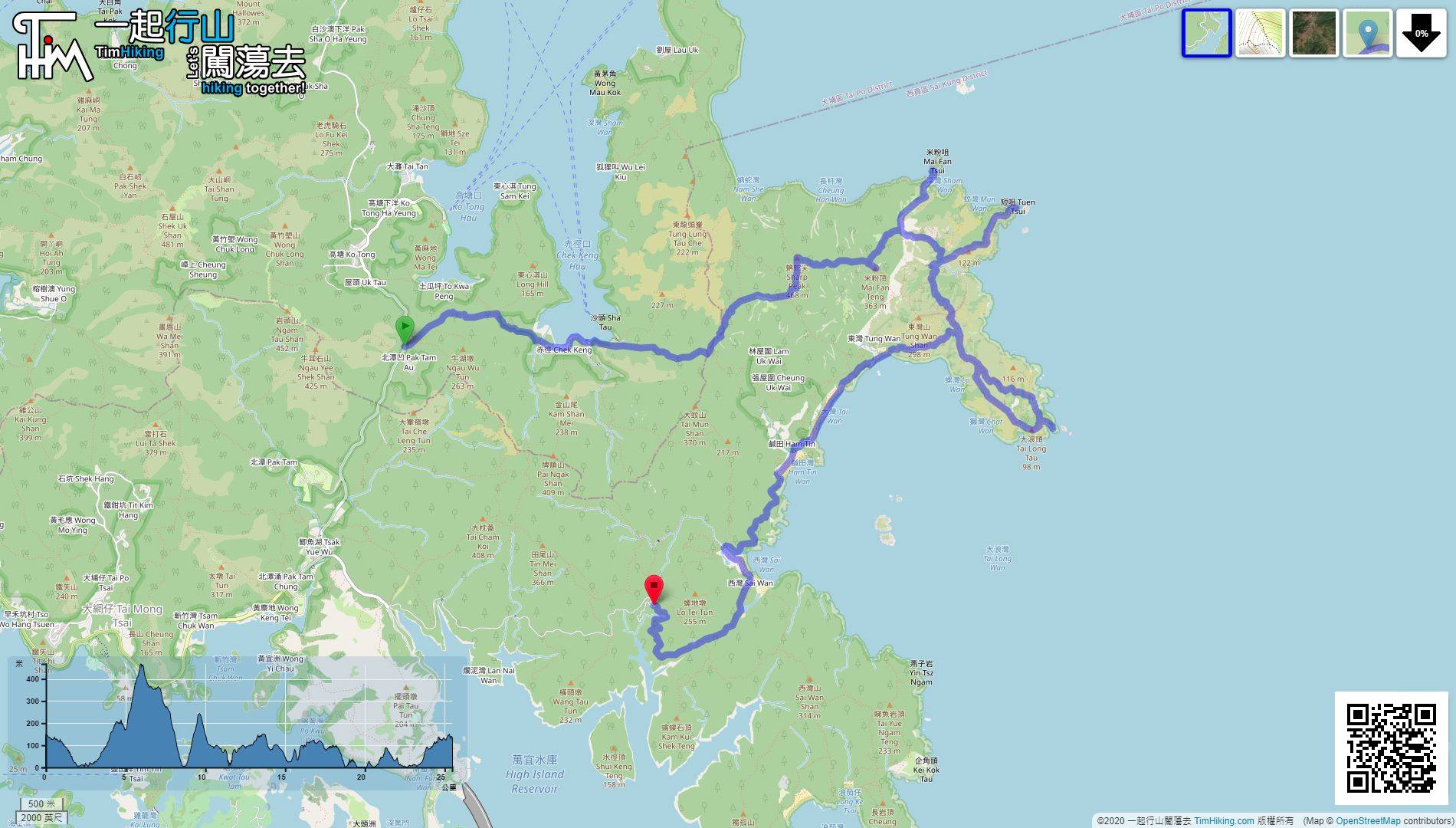
| Length : | 25.5km | ||
| Time : | 10hours | ||
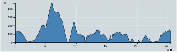 | |
| Ascent : 1,816m | Descent : 1,837m |
| Max : 426m | Min : 0m |
| (The accuracy of elevation is +/-30m) | |

 Ham Tin Wan Store
 13︰The step with a warning sign on the left is the entrance to the barren trail of Sharp Peak.
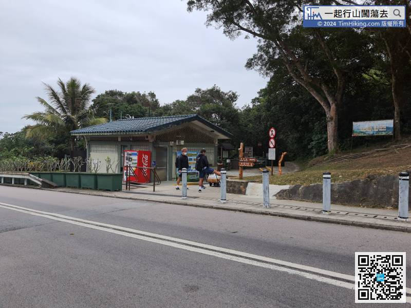
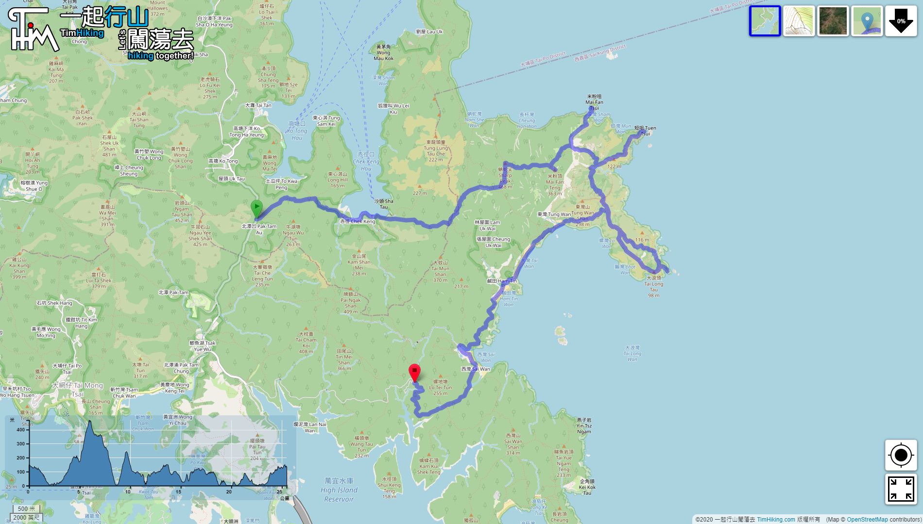
The starting point is at Pak Tam Au. Since it is an extra-long route, it is recommended to take a taxi and earn several minutes in advance.
21︰The trail is obviously rugged,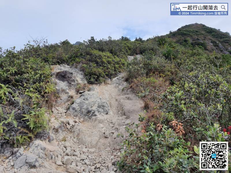 35︰Time is tight and cannot take a short break. After taking photos, must leave at once, there is a barren trail on the far right, the way is head to Mai Fan Teng.
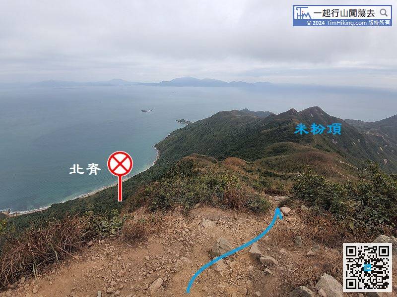
Time is tight and cannot take a short break. After taking photos, must leave at once, there is a barren trail on the far right, the way is head to Mai Fan Teng.
54︰so it is definitely not easy. It is hard to deal with less foot strength.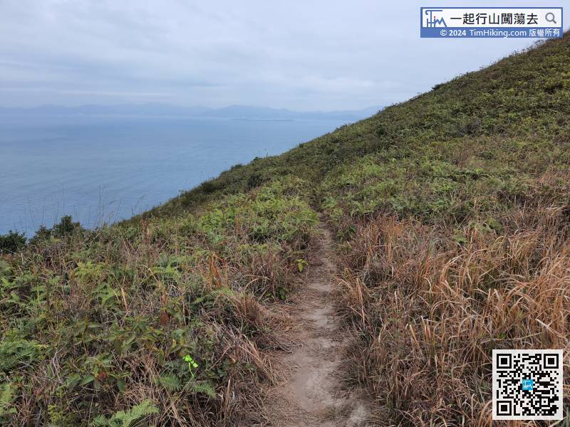
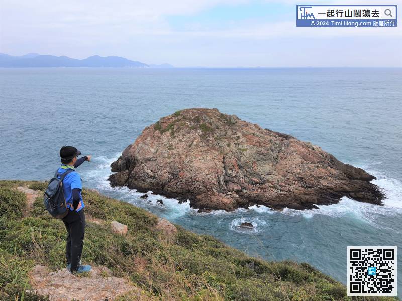
Be sure heading to Mai Fan Tsui, the altitude of the turning point is about 250 meters,
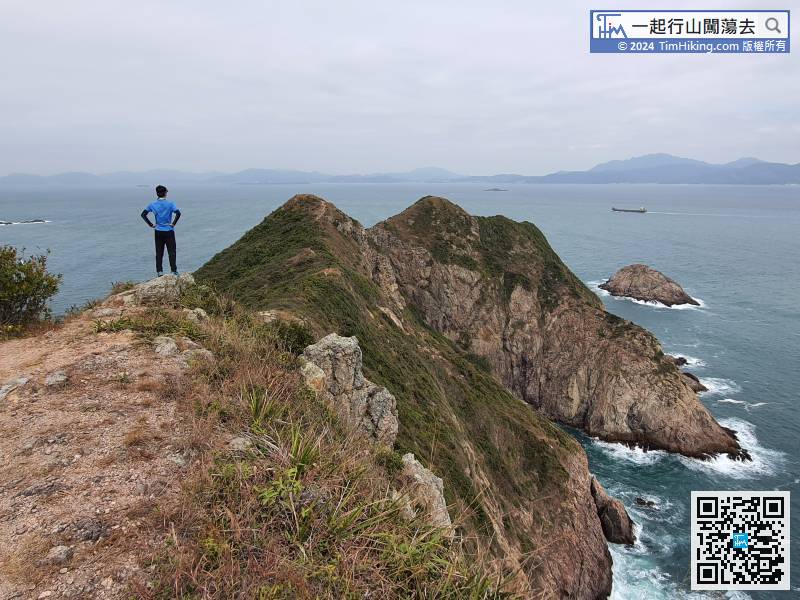
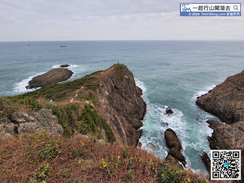
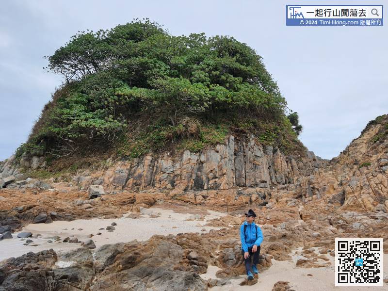
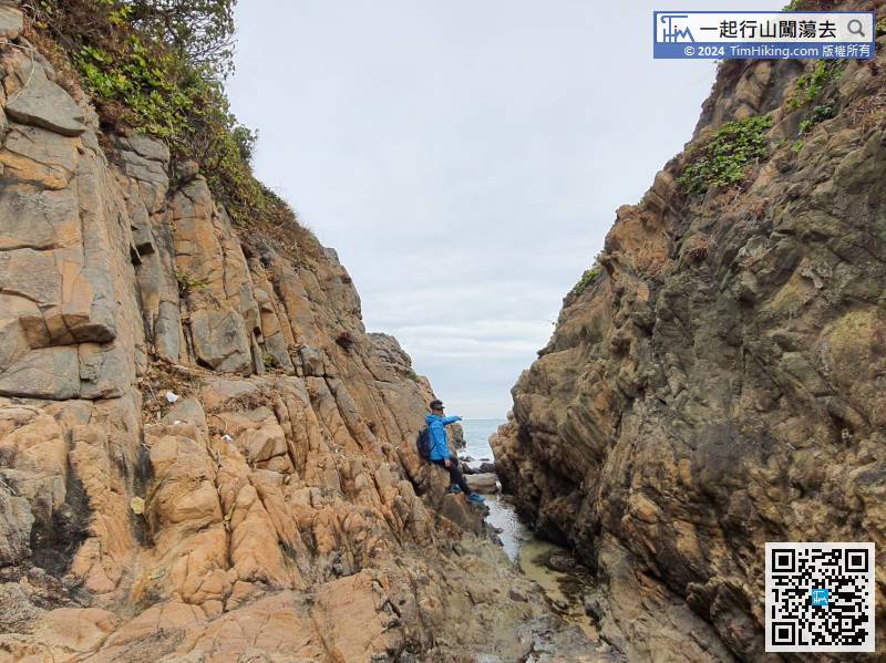
62︰In a corner, will see Tuen Tsui.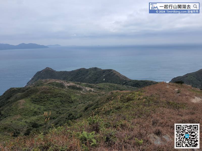 82︰Looking at the giant sea cave from the front is really daunting.
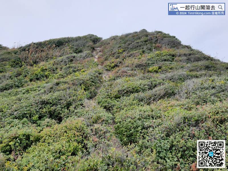
After visiting the end of Tuen Tsui, turned back on the same road.
105︰Keep to the far left at the bifurcation,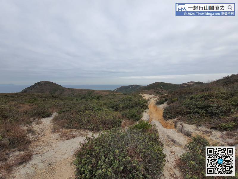
Keep to the far left at the bifurcation,
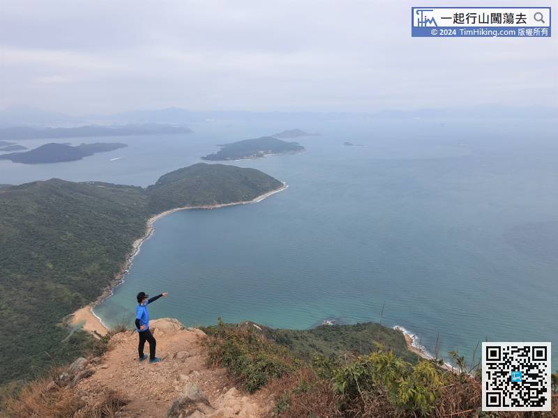
124︰Cheung Tsui’s trigonometrical station is located at Tai Long Tau, but this is not the highest point of Cheung Tsui.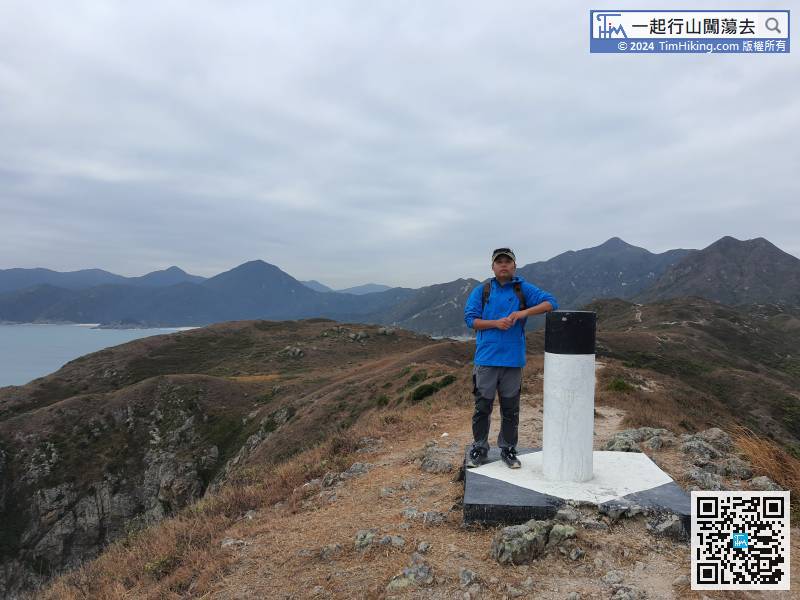
Cheung Tsui’s trigonometrical station is located at Tai Long Tau, but this is not the highest point of Cheung Tsui.
141︰with a rope placed.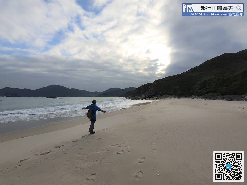
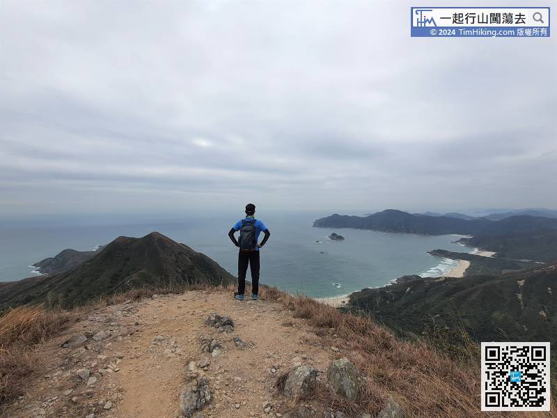
Tung Wan usually less crowded because it is still far away from MacLehose Trail.
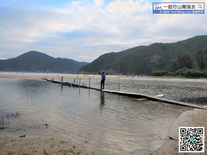
Cross the water crossing bridge and step onto Ham Tin Wan.


