


 Recommend YouTube


| View : |  | ||
| Difficulty : |  | ||
| Path : | |||
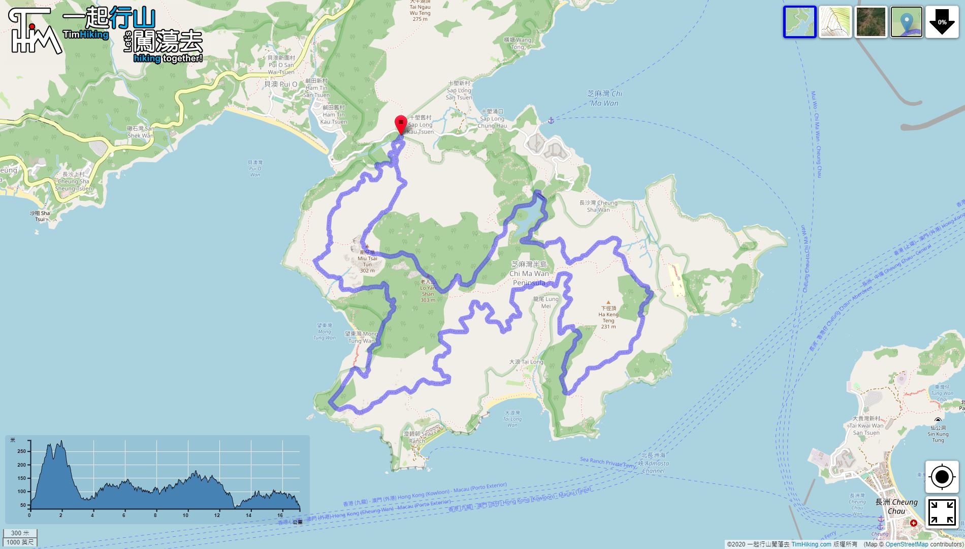
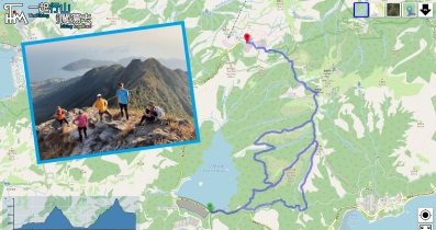
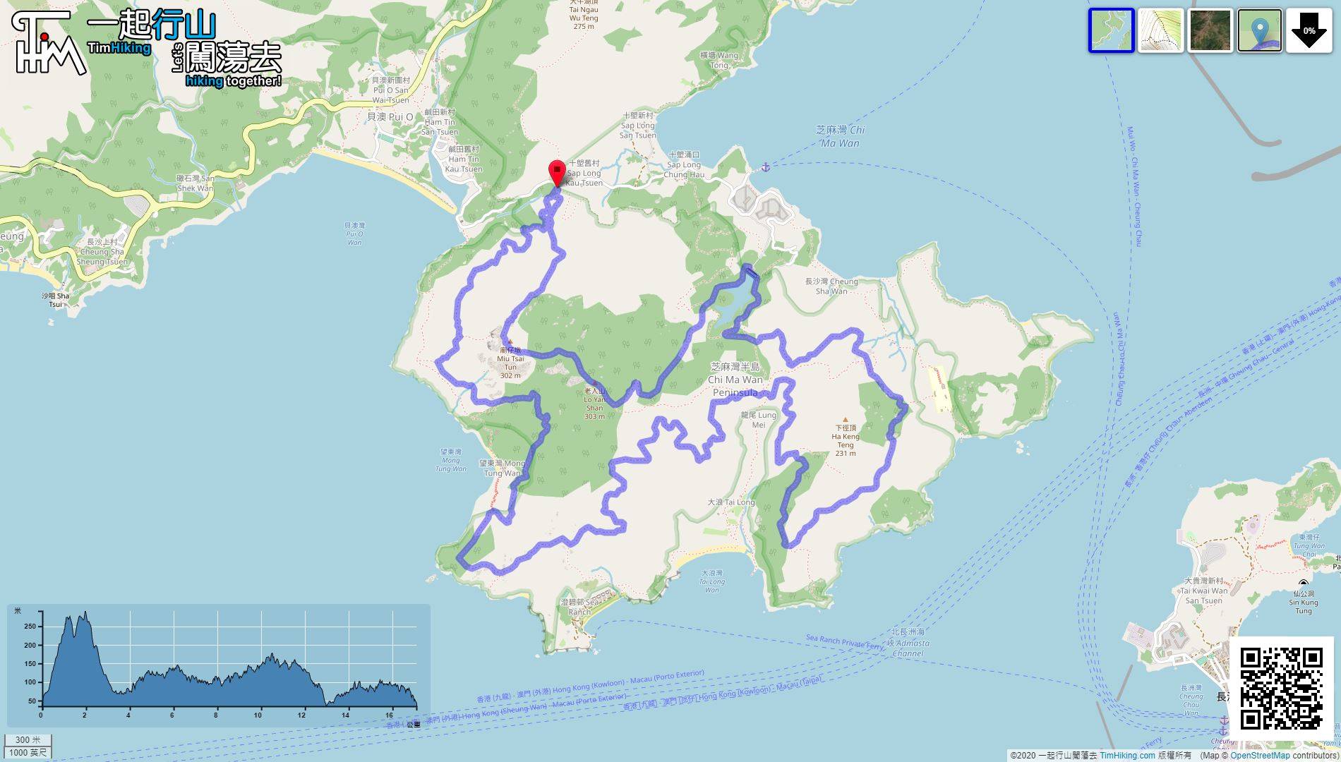
| Length : | 17.1km | ||
| Time : | 8hours | ||
| 【 Sap Long Campsite 】 | |||
| Toilet : | Outhouse | ||
| Water : | Stream Water | ||
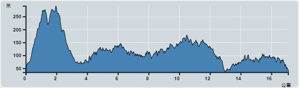 | |
| Ascent : 1,349m | Descent : 1,346m |
| Max : 291m | Min : 35m |
| (The accuracy of elevation is +/-30m) | |


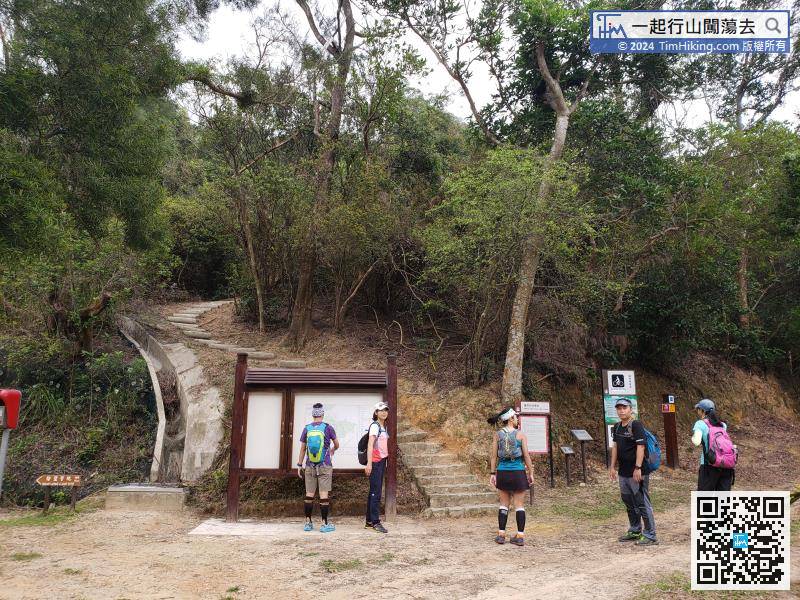
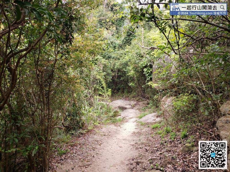
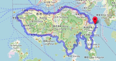
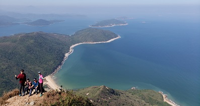
Entering the entrance, there are three roads in front. The left is to Sap Long Campsite, the middle is Miu Tsai Tun and Lo Yan Shan, and the right is through the waist of Tung Wan Shan to Lung Mei.

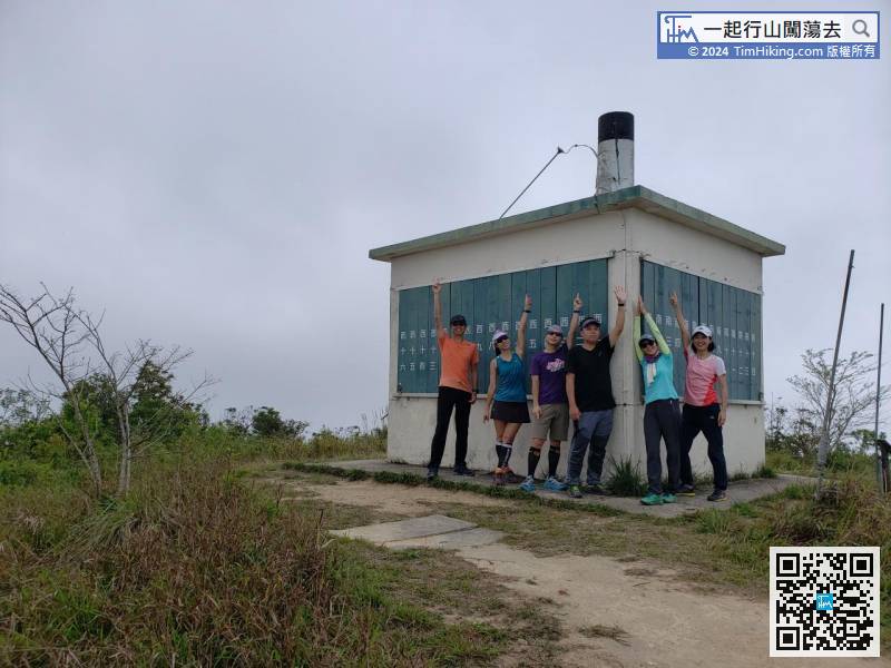
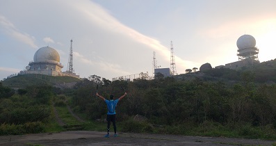
Lo Yan Shan Fire Lookout is similar to Miu Ko Toi Fire Lookout and Pat Heung Fire Lookout,
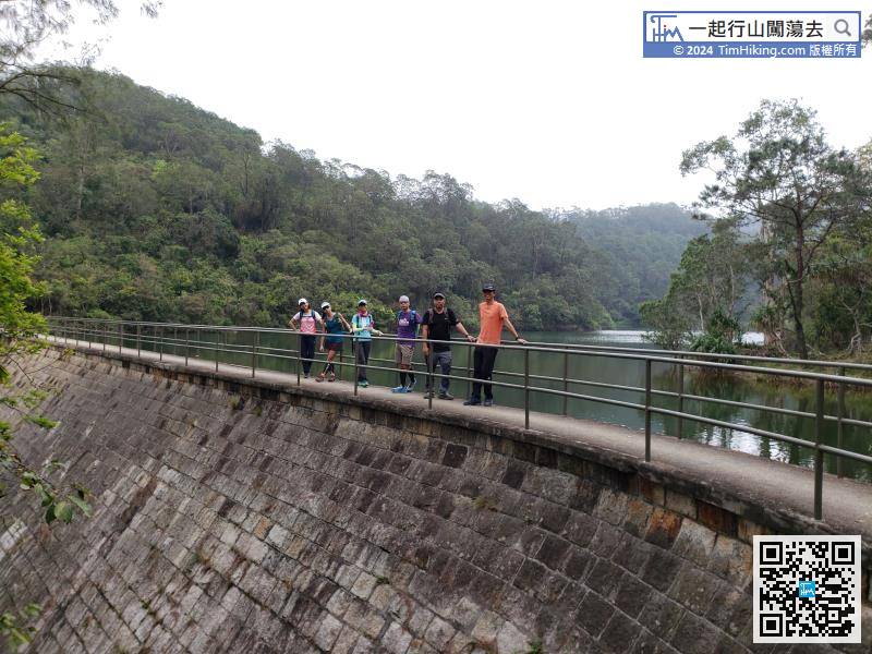
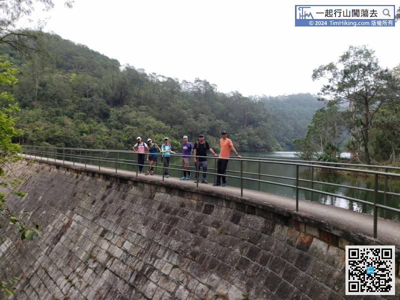
The dam of Sap Long Irrigation Reservoir is right in front,
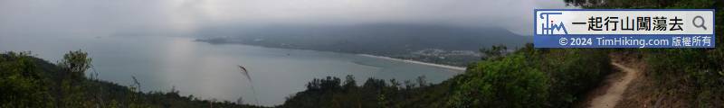

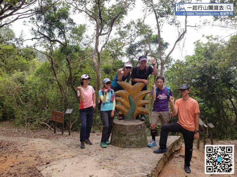
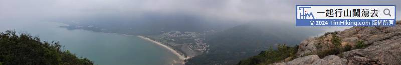
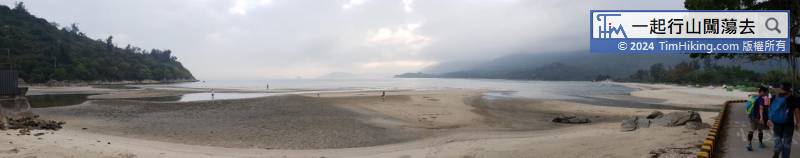
Lung Mei is the name of a place. Except for the sculpture representing Lung Mei, there is no scenery.


