


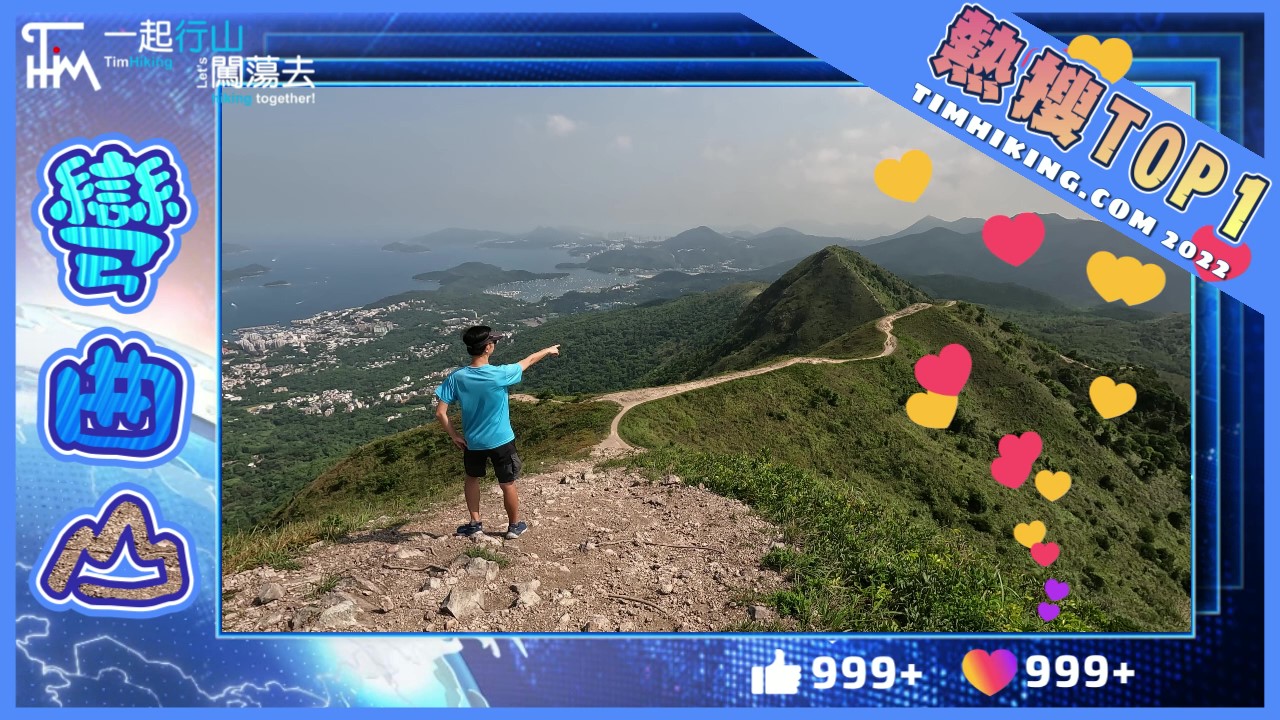
 Recommend YouTube


| View : |  | ||
| Difficulty : |  | ||
| Path : | |||
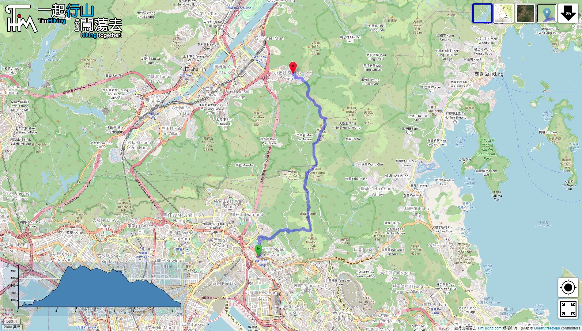
| Length : | 8.4km | ||
| Time : | 5hours | ||
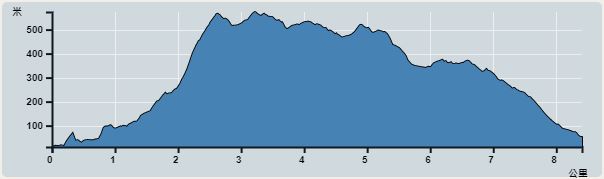 | |
| Ascent : 887m | Descent : 845m |
| Max : 573m | Min : 11m |
| (The accuracy of elevation is +/-30m) | |


 18︰There are road signs set up by morning hikers.
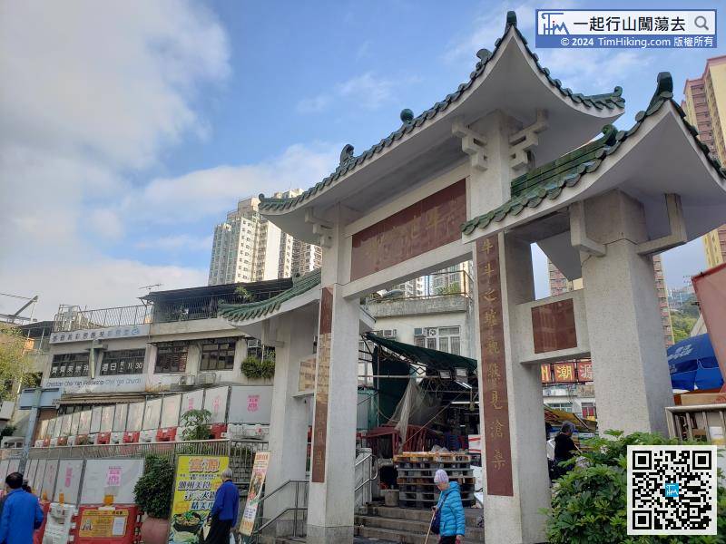 23︰some sharp bend signs on the second corner,
 49︰just pay attention to safety.
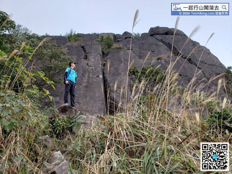
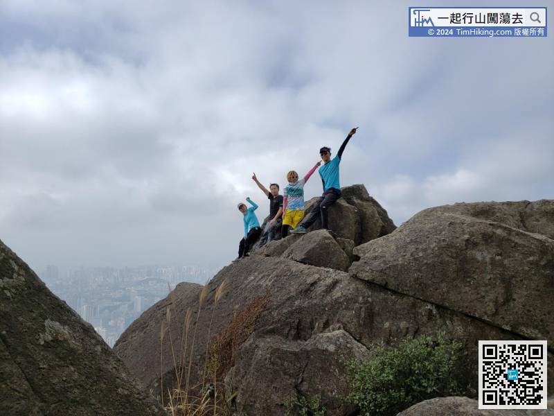
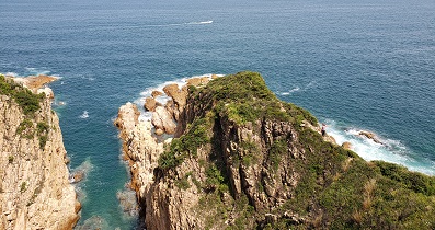
Yi Tin Cliff is a straight wall, not so big, but it is also very prominent.
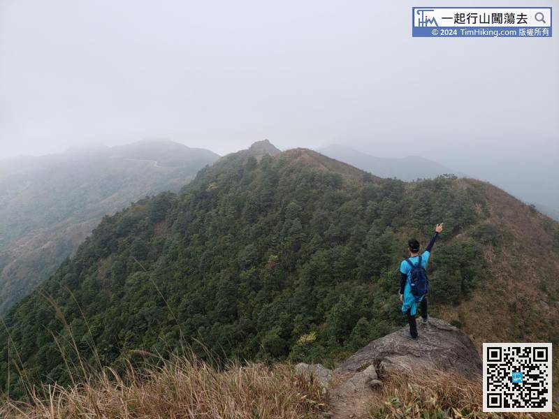
64︰it is the top of Middle Hill,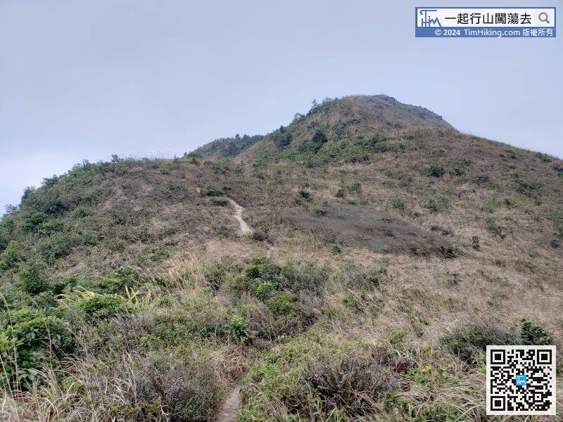
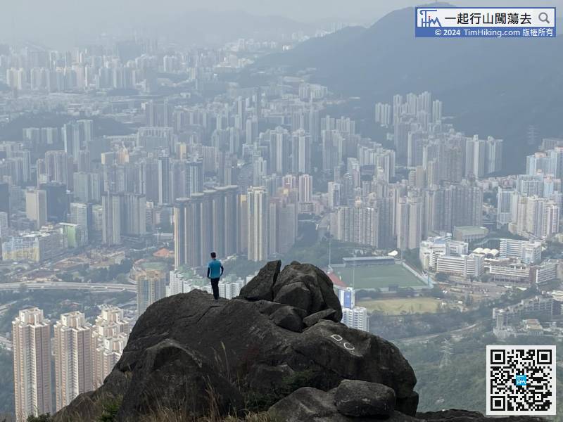
Middle Hill is very obvious, it is the opposite direction of the Kowloon Peak Transmitting Station.
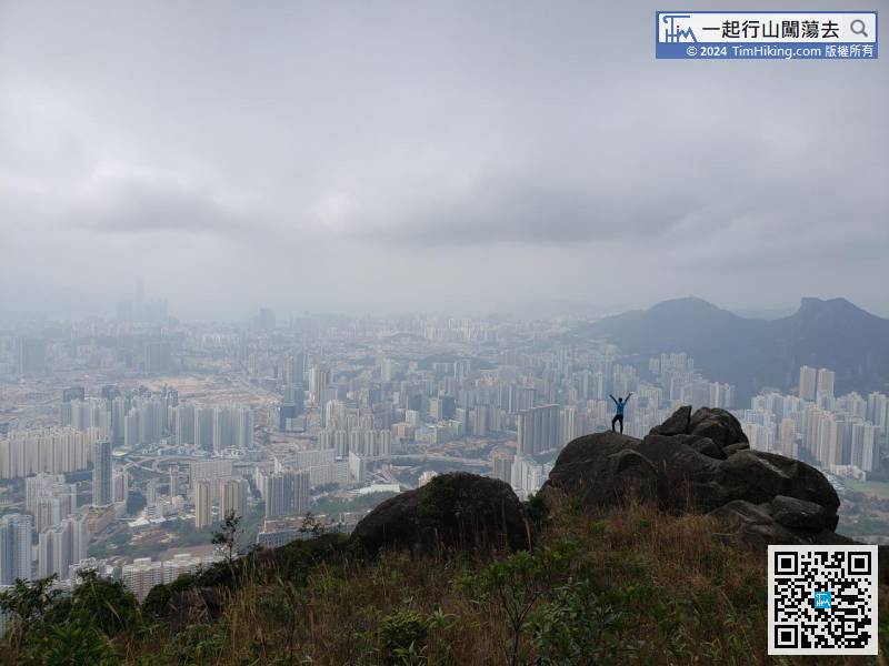
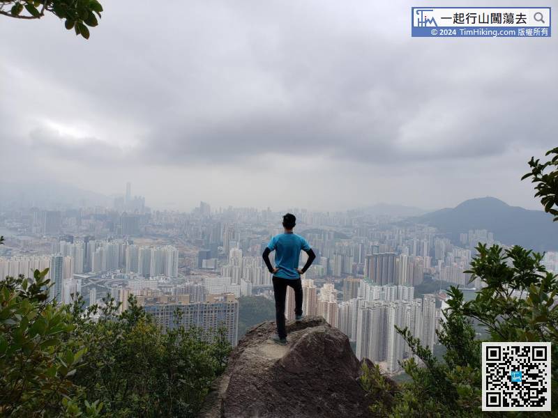
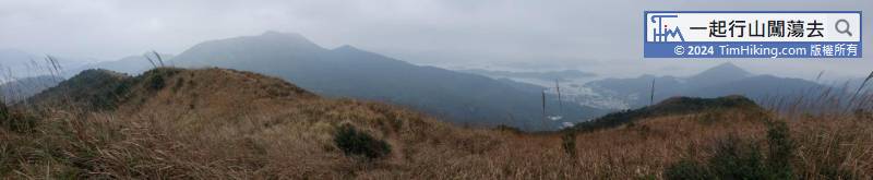
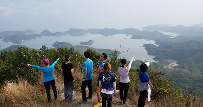
85︰The scenery at the top of Tung Yeung Shan is surprisingly beautiful. Not only a 360-degree view, but also the entire section of the majestic mountain range from Kowloon Peak to Tate's Cairn.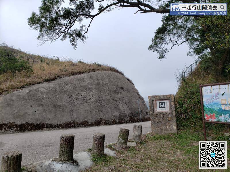
After connecting to Fei Ngo Shan Road, turn right and go down.
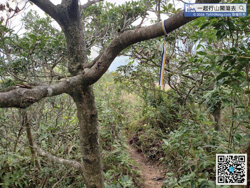
If continue to the north, will find a trail that goes down the mountain.


