


 Recommend YouTube


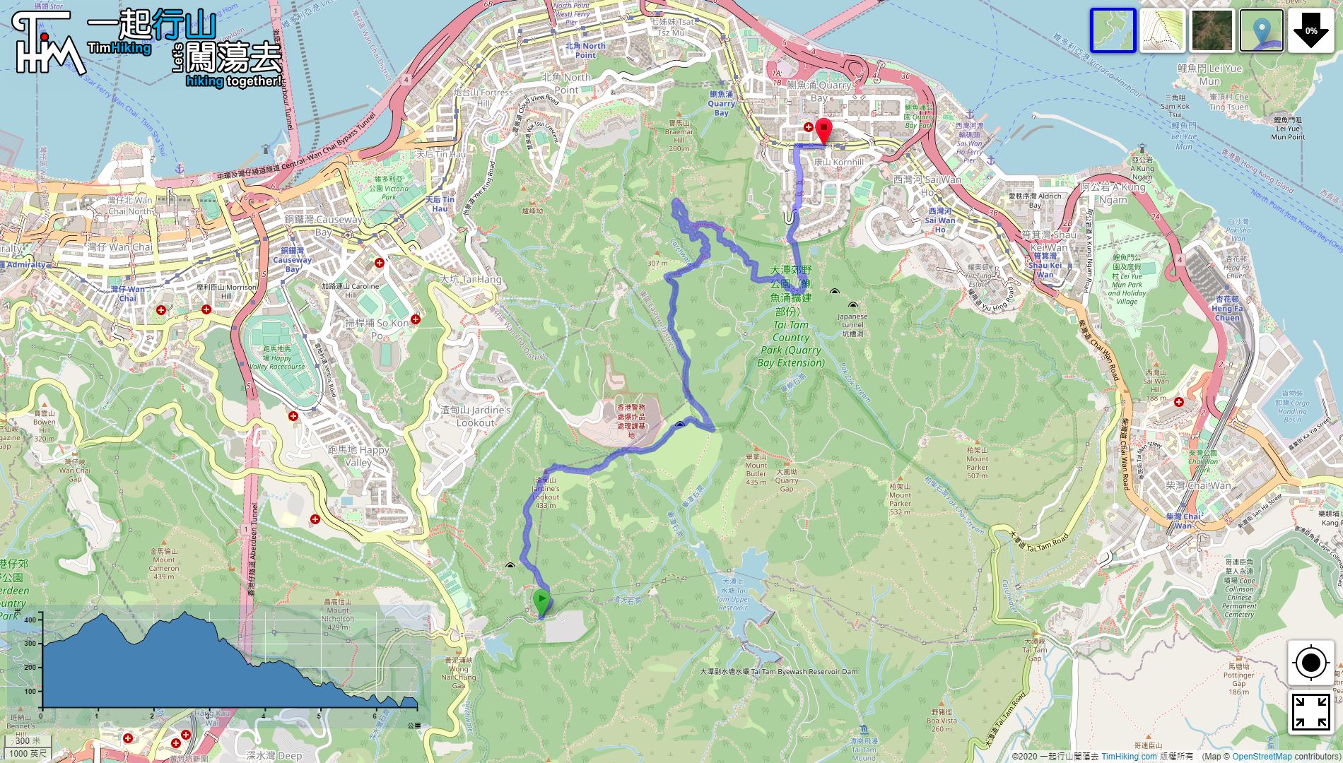


| View : |  | ||
| Difficulty : |  | ||
| Path : | |||
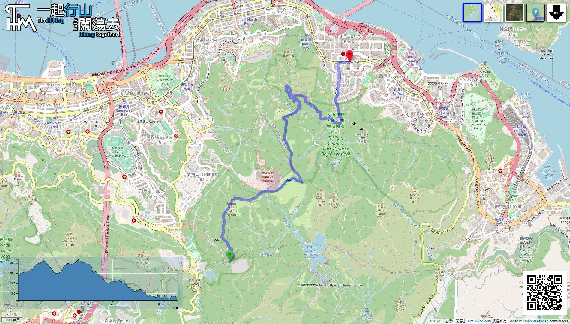
| Length : | 6.8km | ||
| Time : | 2½hours | ||
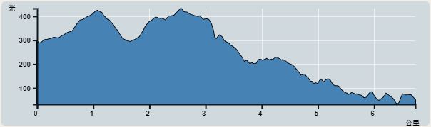 | |
| Ascent : 500m | Descent : 759m |
| Max : 432m | Min : 32m |
| (The accuracy of elevation is +/-30m) | |


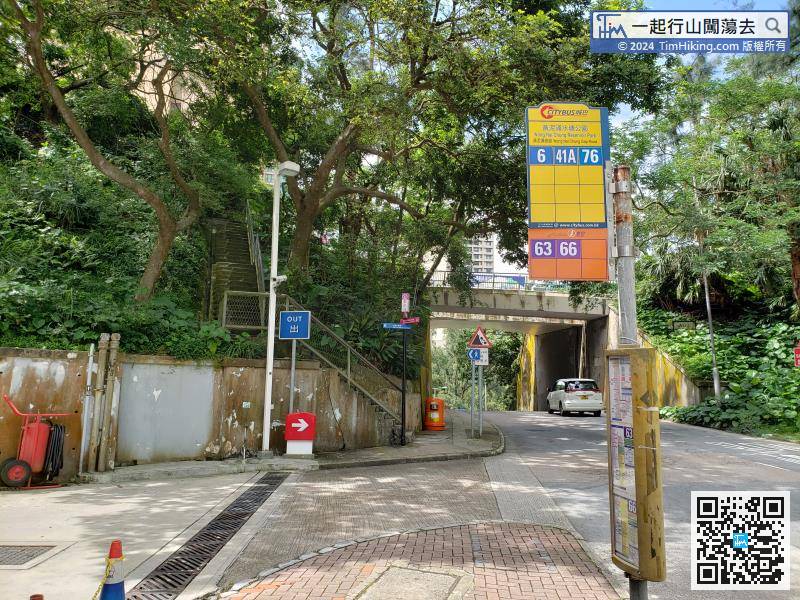
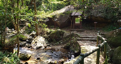
After getting off, take the stairs next to the petrol station and take Tai Tam Reservoir Road,
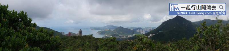

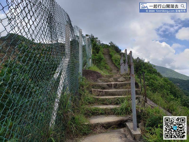
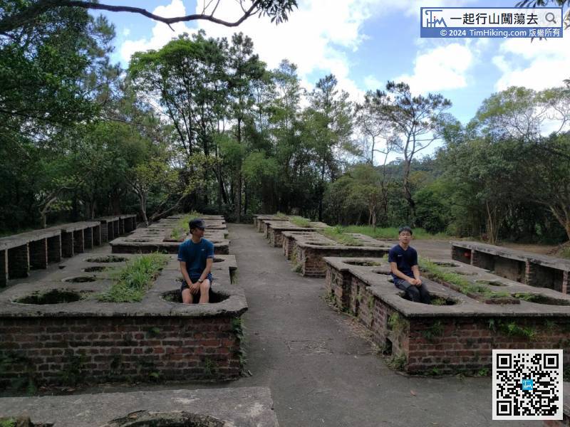
The stairs are very long, and the Bila Mountain Quarry is separated by a net on the left,

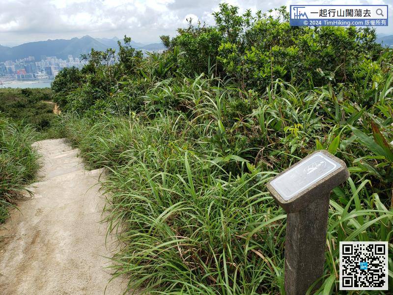

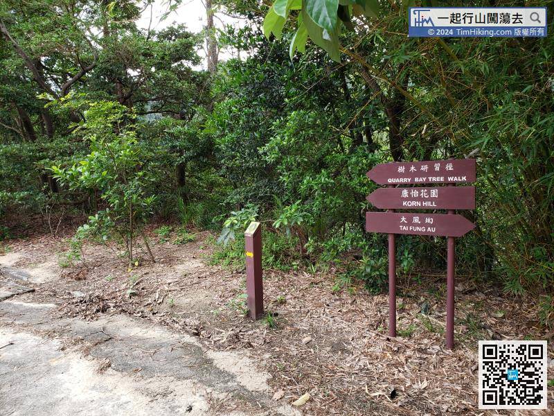
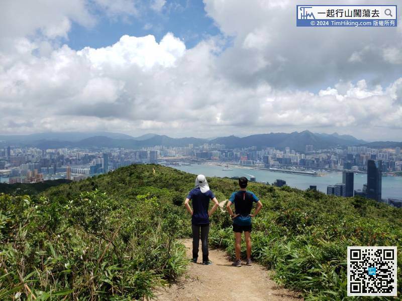
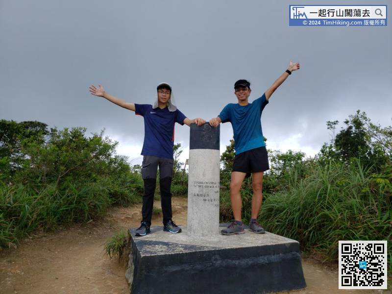
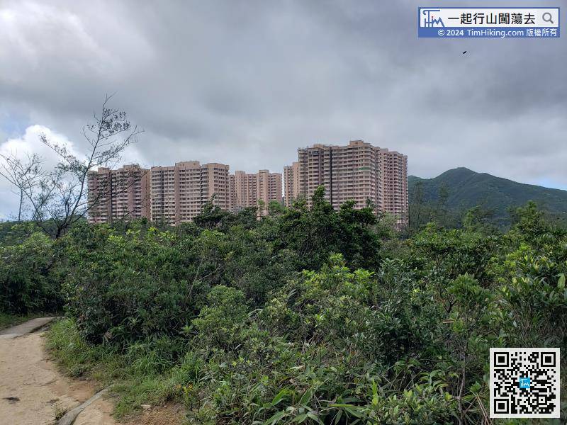
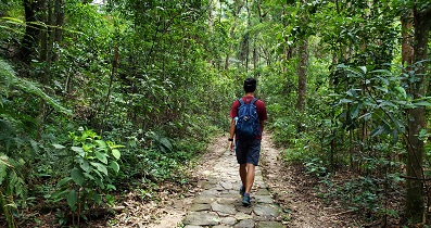
Going down the mountain in the direction indicated by the sign.
Official Map


