


 Recommend YouTube

| View : |  | ||
| Difficulty : |  | ||
| Path : | |||
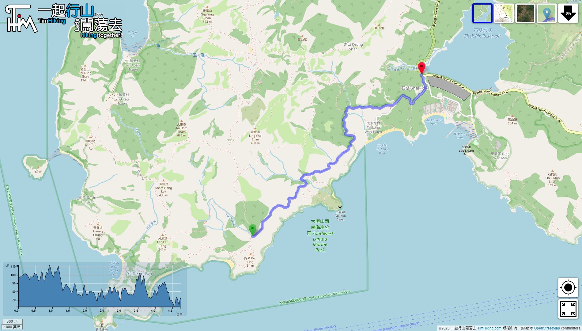
| Length : | 4.8km | ||
| Time : | 1½hours | ||
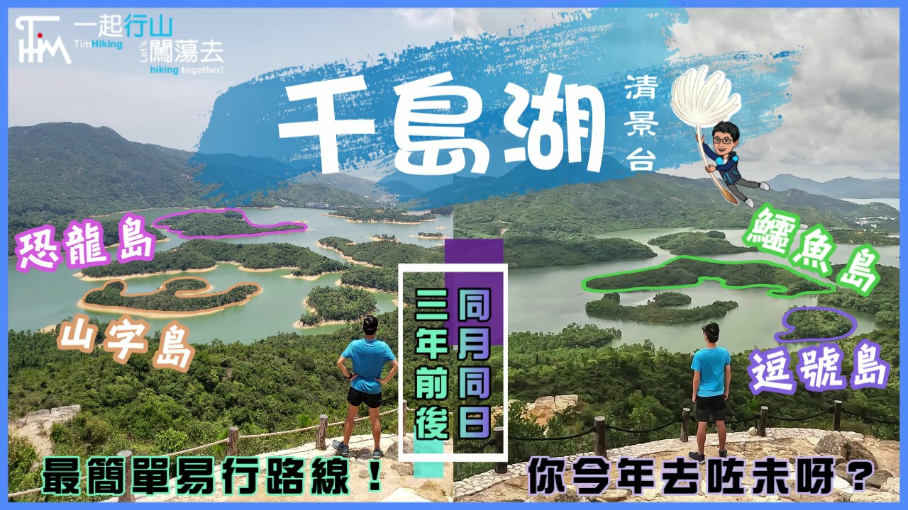
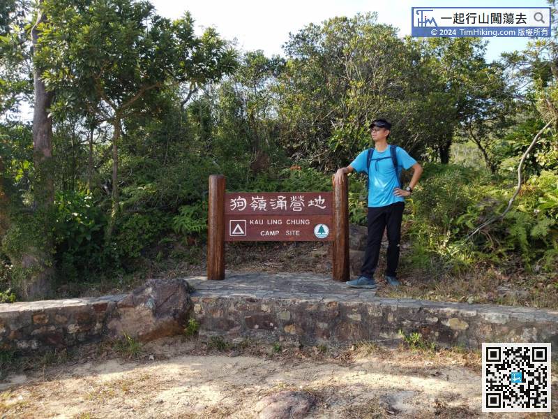
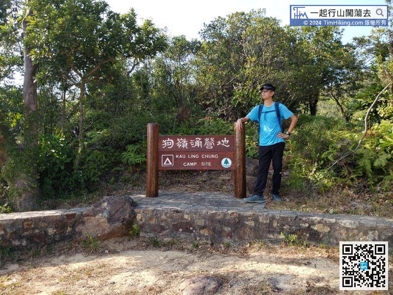
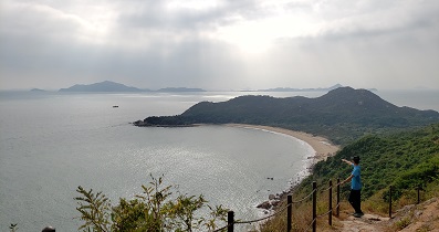
| 【 Kau Ling Chung Campsite, Tai Long Wan Campsite 】 | |||
| Toilet : | Outhouse | ||
| Water : | Stream Water | ||
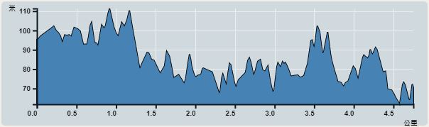 | |
| Ascent : 270m | Descent : 304m |
| Max : 111m | Min : 61m |
| (The accuracy of elevation is +/-30m) | |


| View : | | ||
| Difficulty : | | ||
| Path : | |||
| Length : | 4.8km | ||
| Time : | 1½hours | ||
| 【 Kau Ling Chung Campsite, Tai Long Wan Campsite 】 | |||
| Toilet : | Outhouse | ||
| Water : | Stream Water | ||
| |
| Ascent : 270m | Descent : 304m |
| Max : 111m | Min : 61m |
| (The accuracy of elevation is +/-30m) | |
一起爬山闖蕩去 | timhiking | timhiking | timhiking | Message Board | Disclaimer


