


 Recommend YouTube


| View : |  | ||
| Difficulty : |  | ||
| Path : | |||
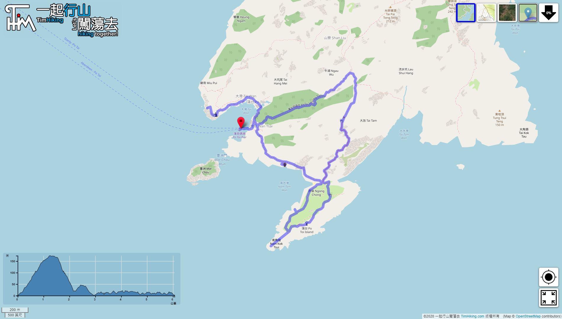
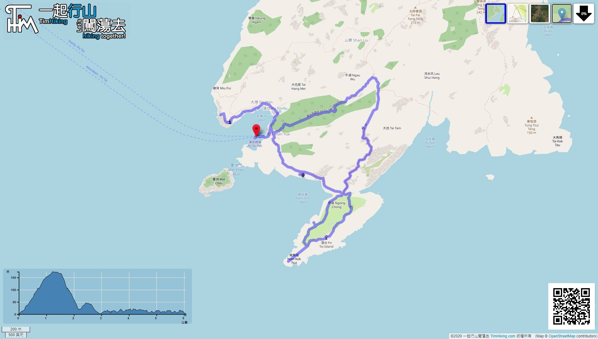
| Length : | 6.1km | ||
| Time : | 3½hours | ||
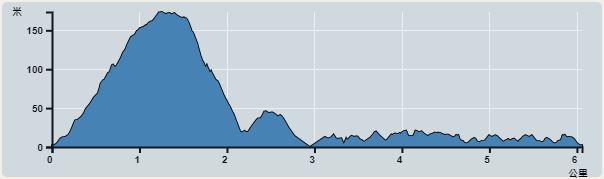 | |
| Ascent : 362m | Descent : 365m |
| Max : 174m | Min : 0m |
| (The accuracy of elevation is +/-30m) | |


 Po Toi Island Store

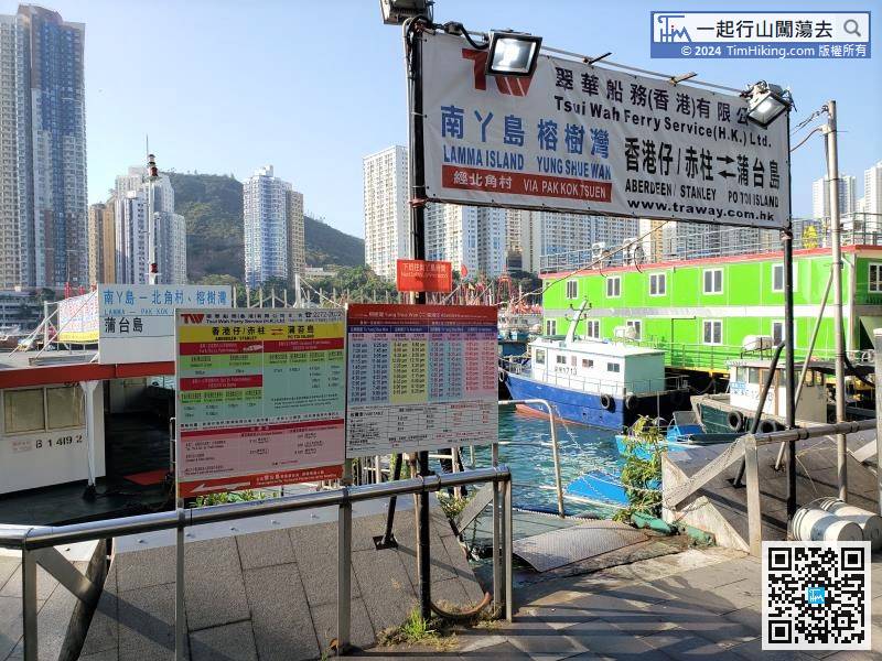
Kaito to Po Toi Island can be taken from Aberdeen or Stanley. There is very few schedules,
 17︰with wide and easy steps.
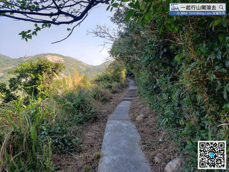 34︰This is the normal route on the right, going up the steps,
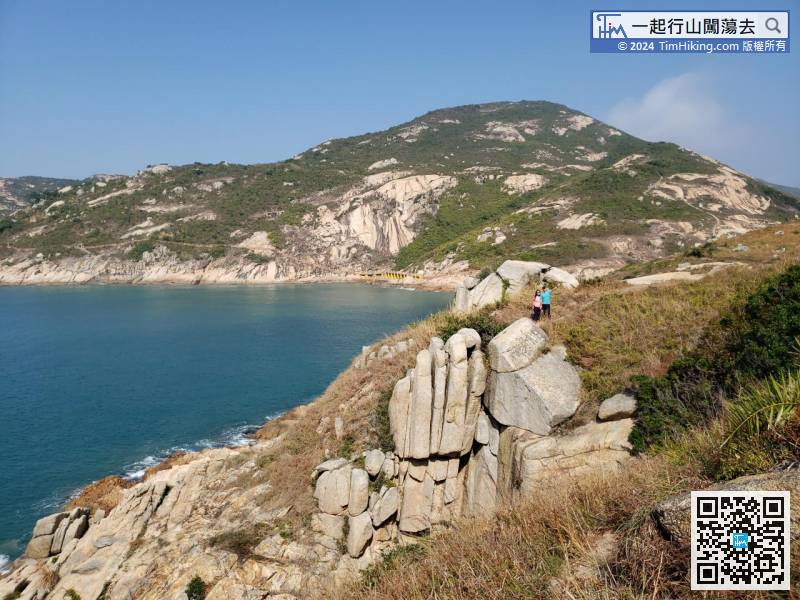
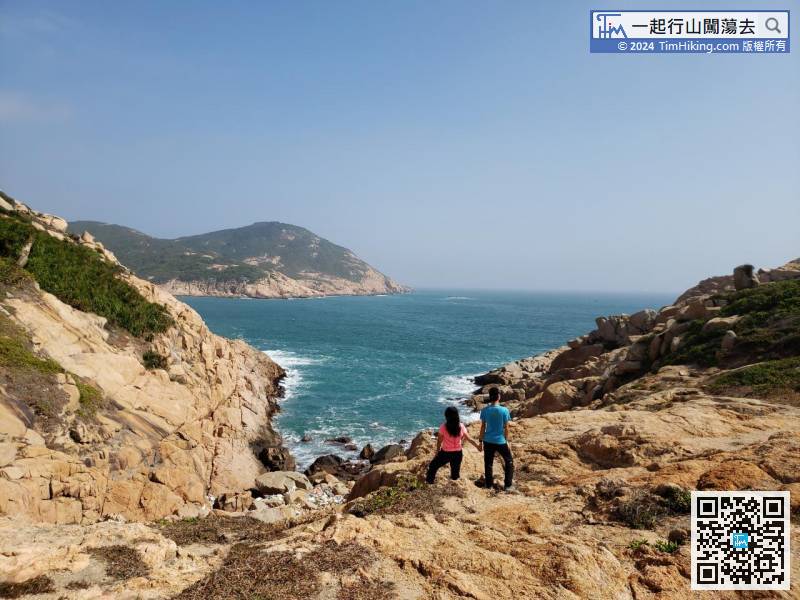
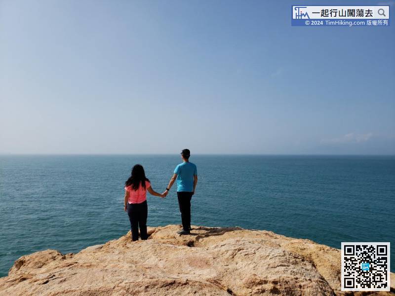
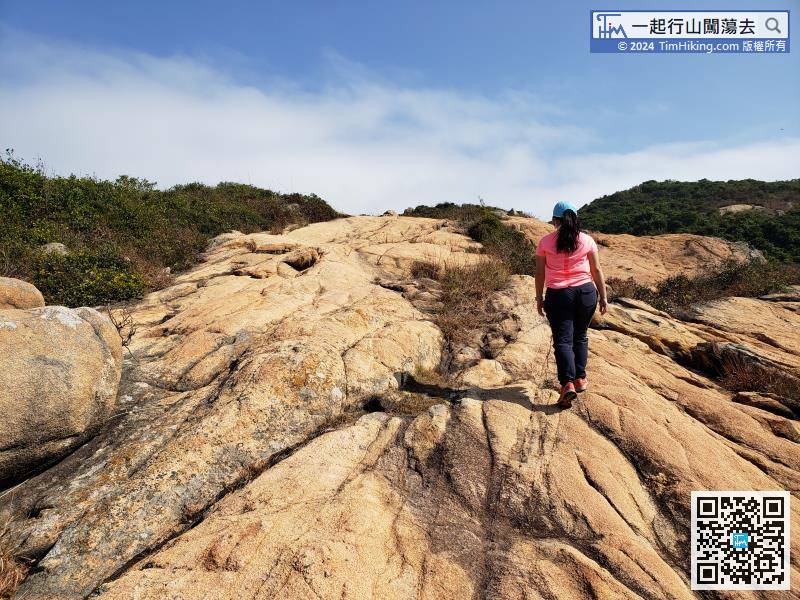 41︰and will arrive at Ngong Chong, a very windy location, and the waves are extremely surging.
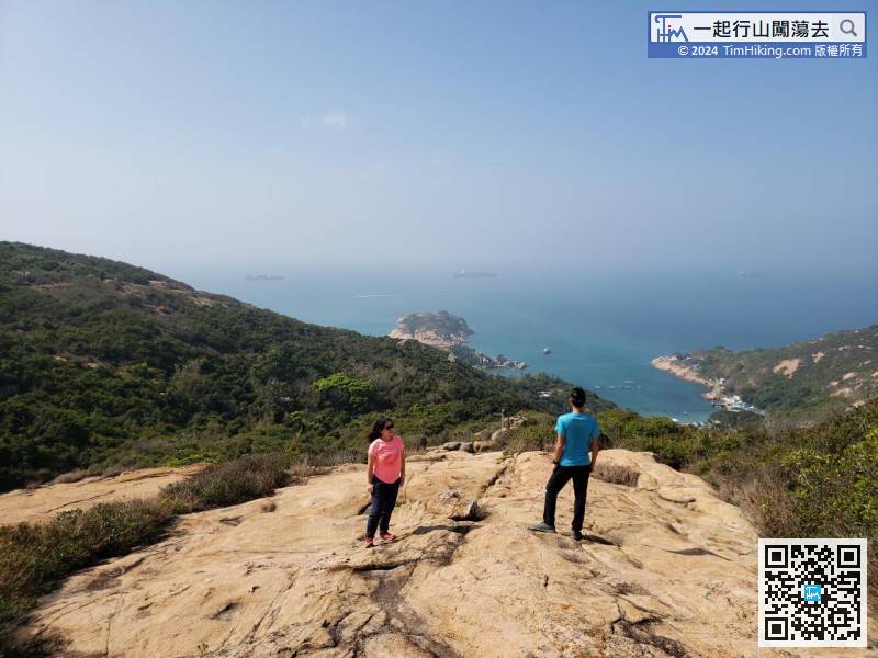
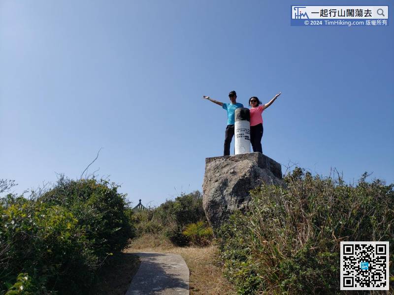
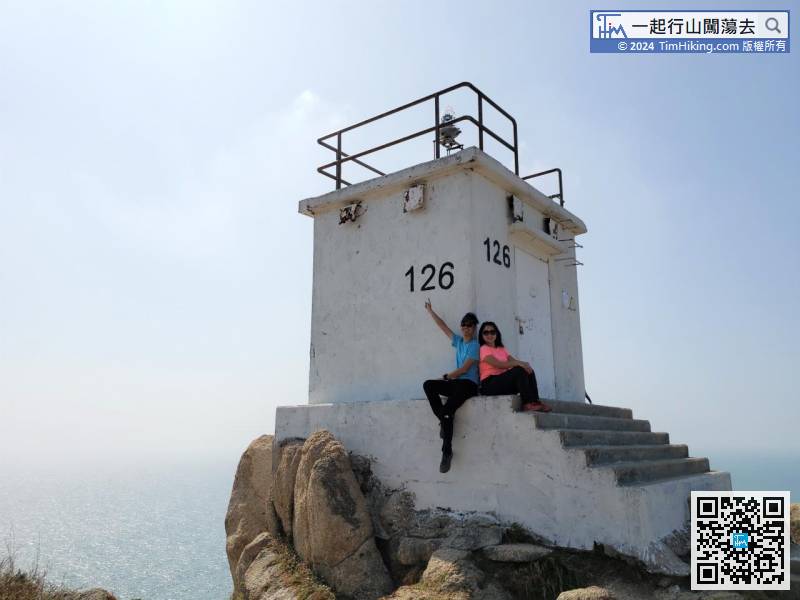
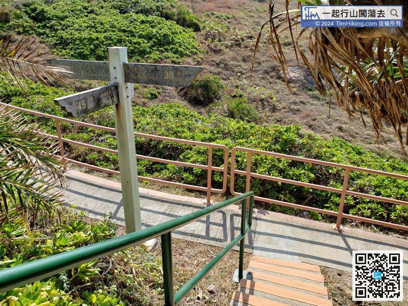 51︰Lighthouse No.126 is the southernmost lighthouse in Hong Kong. It is near the top of the hill.
Lighthouse No.126 is the southernmost lighthouse in Hong Kong. It is near the top of the hill.
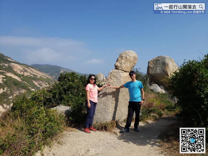
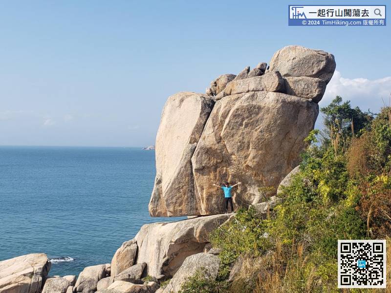
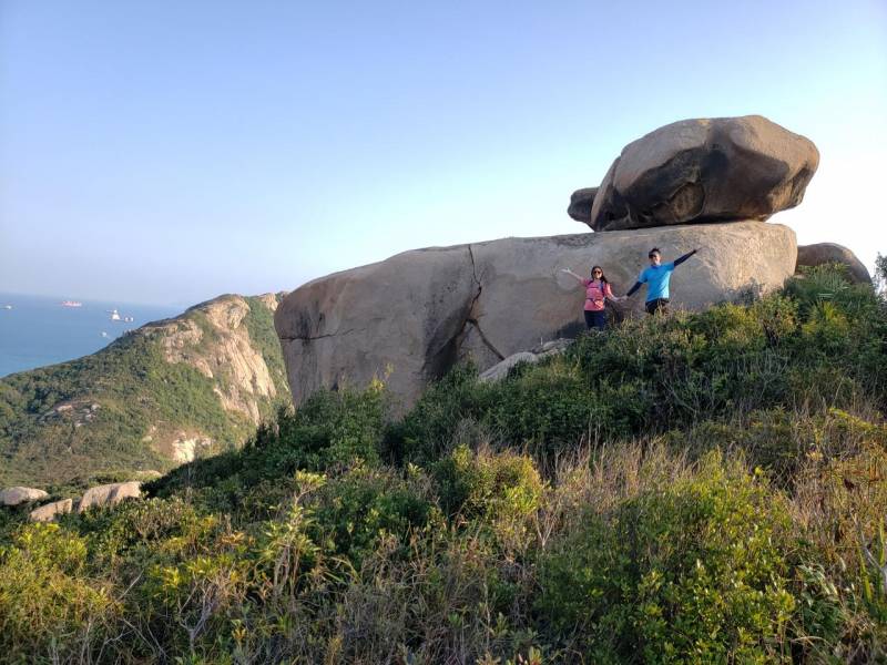
73︰Be careful to walk behind Tin Hau Temple, will find the Conch Rock, also known as Snail Rock.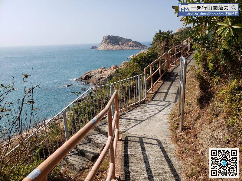
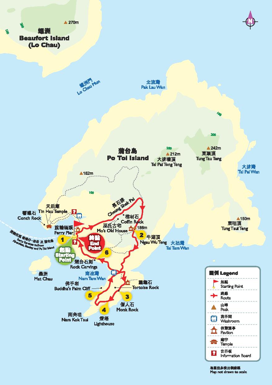
Official Map


