


 Recommend YouTube


| View : |  | ||
| Difficulty : |  | ||
| Path : | |||
| Length : | 9.3km | ||
| Time : | 6hours | ||
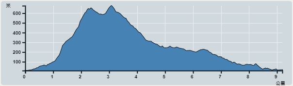 | |
| Ascent : 918m | Descent : 902m |
| Max : 677m | Min : 9m |
| (The accuracy of elevation is +/-30m) | |


 16︰will see the second barren trail entrance, which is the entrance to Ma Mei Ridge.
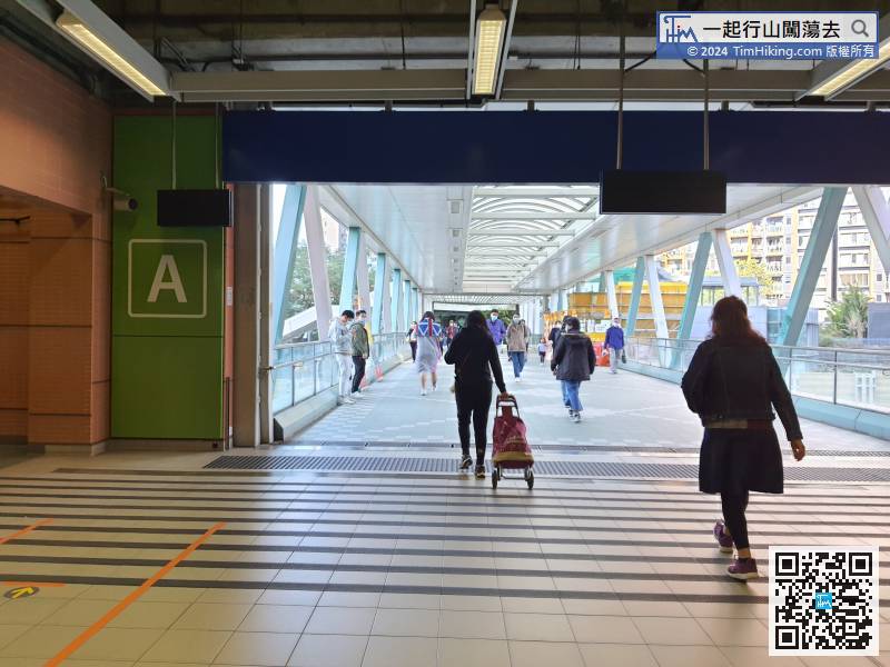
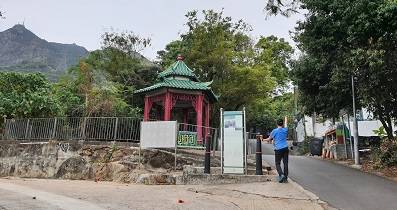
First take the MTR to Wu Kai Sha Station and get off, then head towards Exit A,
21︰turn right and will find the trail,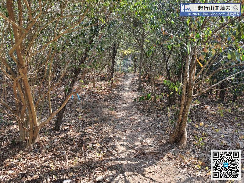 36︰Although Ma Mei Ridge is very slanted, there are trees throughout the journey,
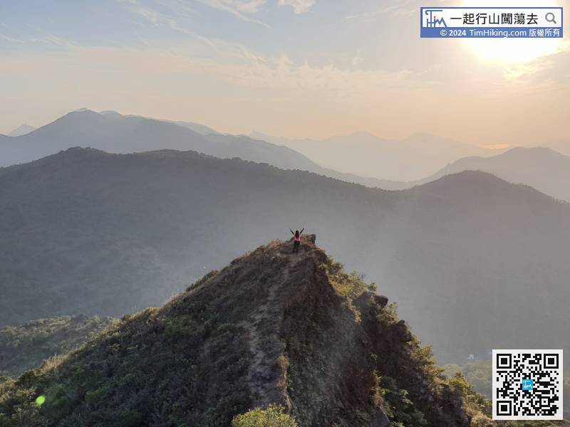
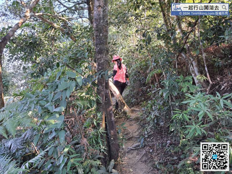 47︰Continue climbing along the big rock slope,
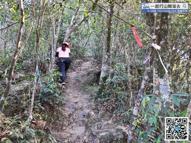
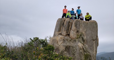
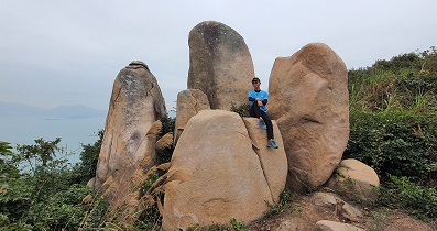
Basically, skip all the left and right bifurcations, just focus on climbing up.
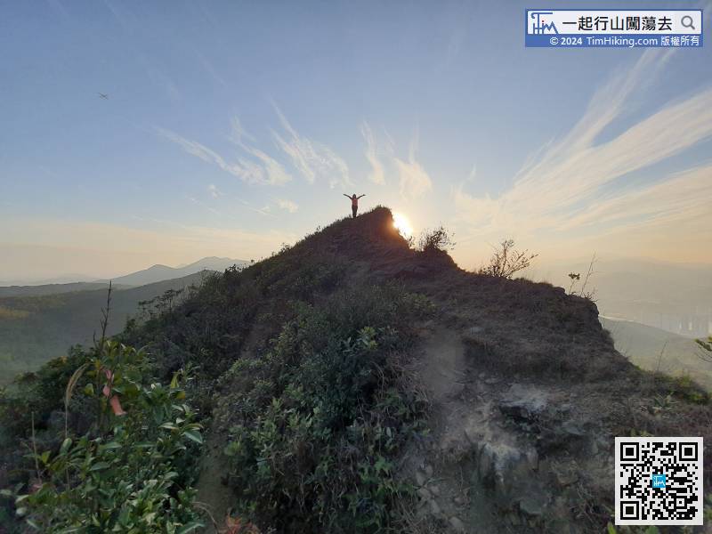
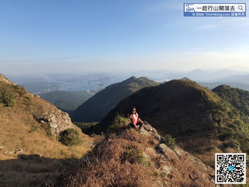
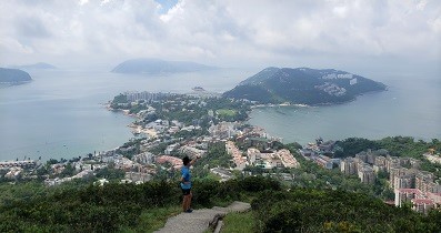
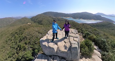
55︰also able to see Tai Po and Tai Mei Tuk from a distance. The view is very broad and boundless.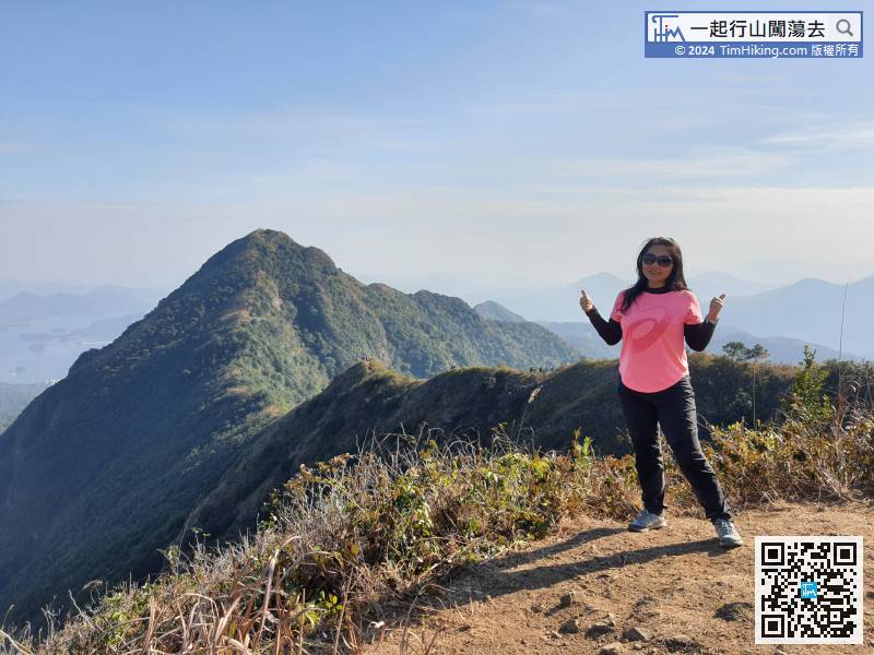 65︰but the opposite of the warning sign.
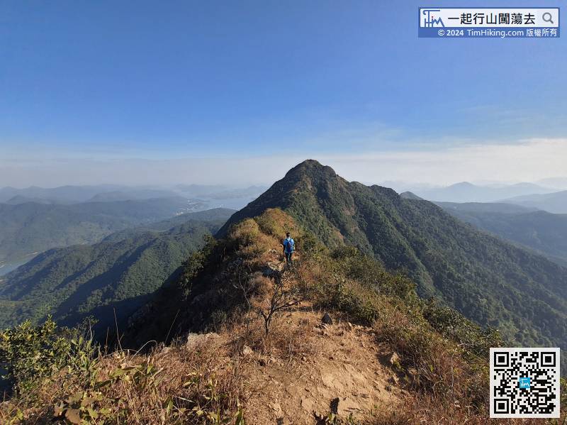
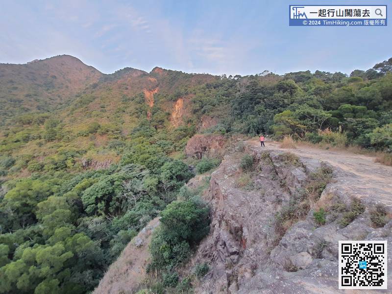
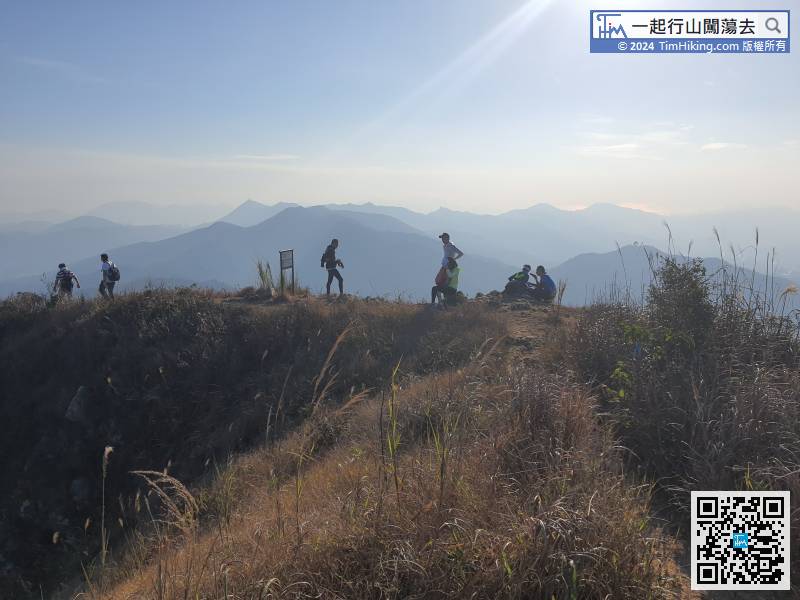 76︰After crossing the danger warning sign, the mountain is obviously rugged and it is still obvious.
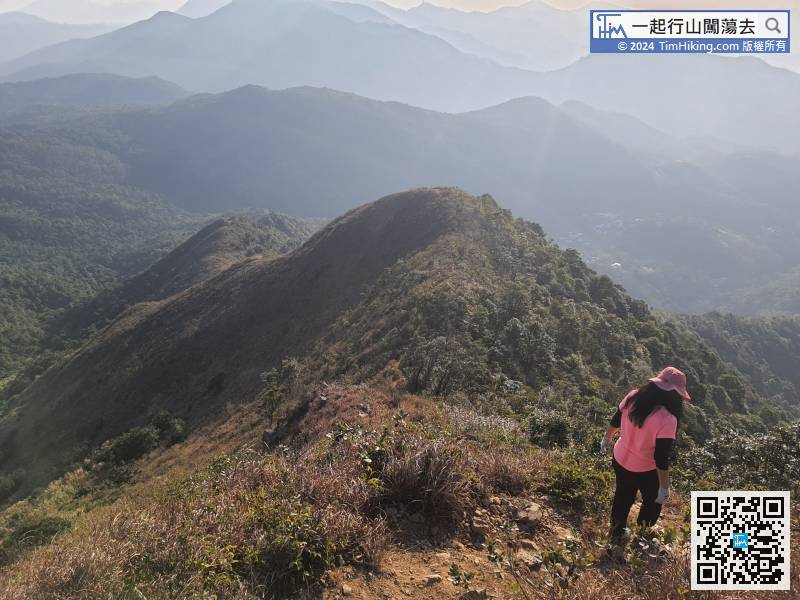
After crossing the danger warning sign, the mountain is obviously rugged and it is still obvious.
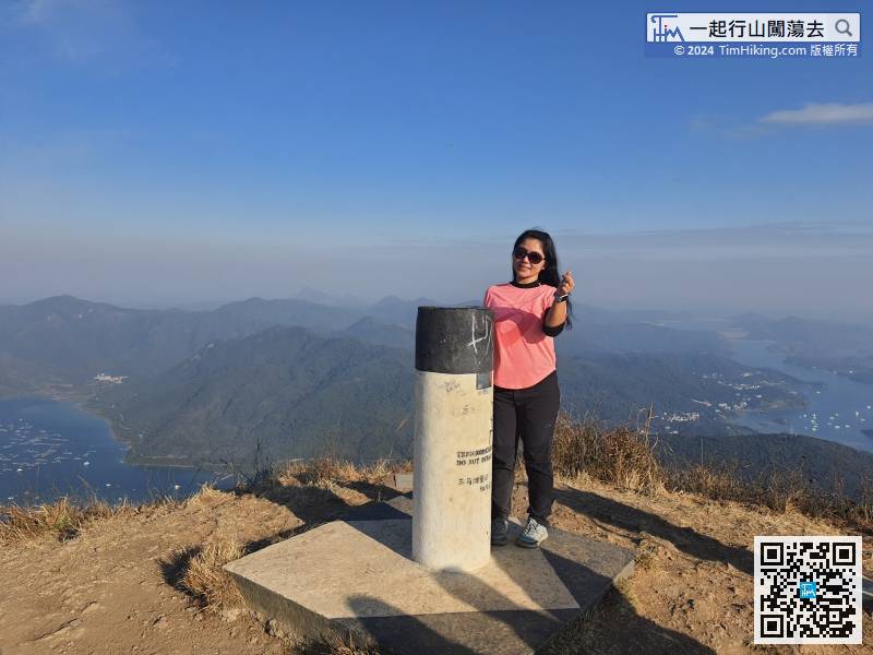
88︰Be sure having sufficient time for the rest of downhill section.
Be sure having sufficient time for the rest of downhill section.
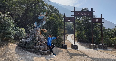
111︰come to 240ML Mine Entrance,
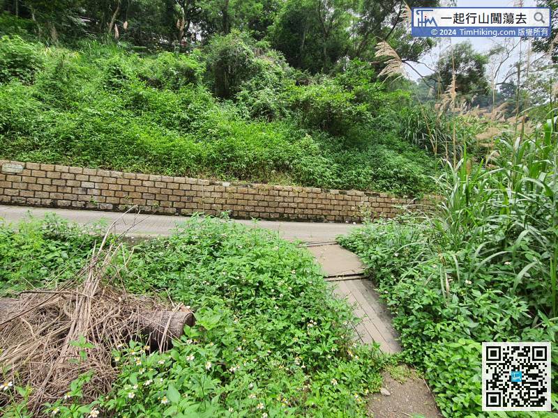
After leaving the barren trail, will become 100% concrete road.


