


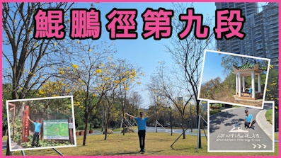
 Recommend YouTube
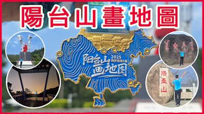


| View : |  | ||
| Difficulty : |  | ||
| Path : | |||
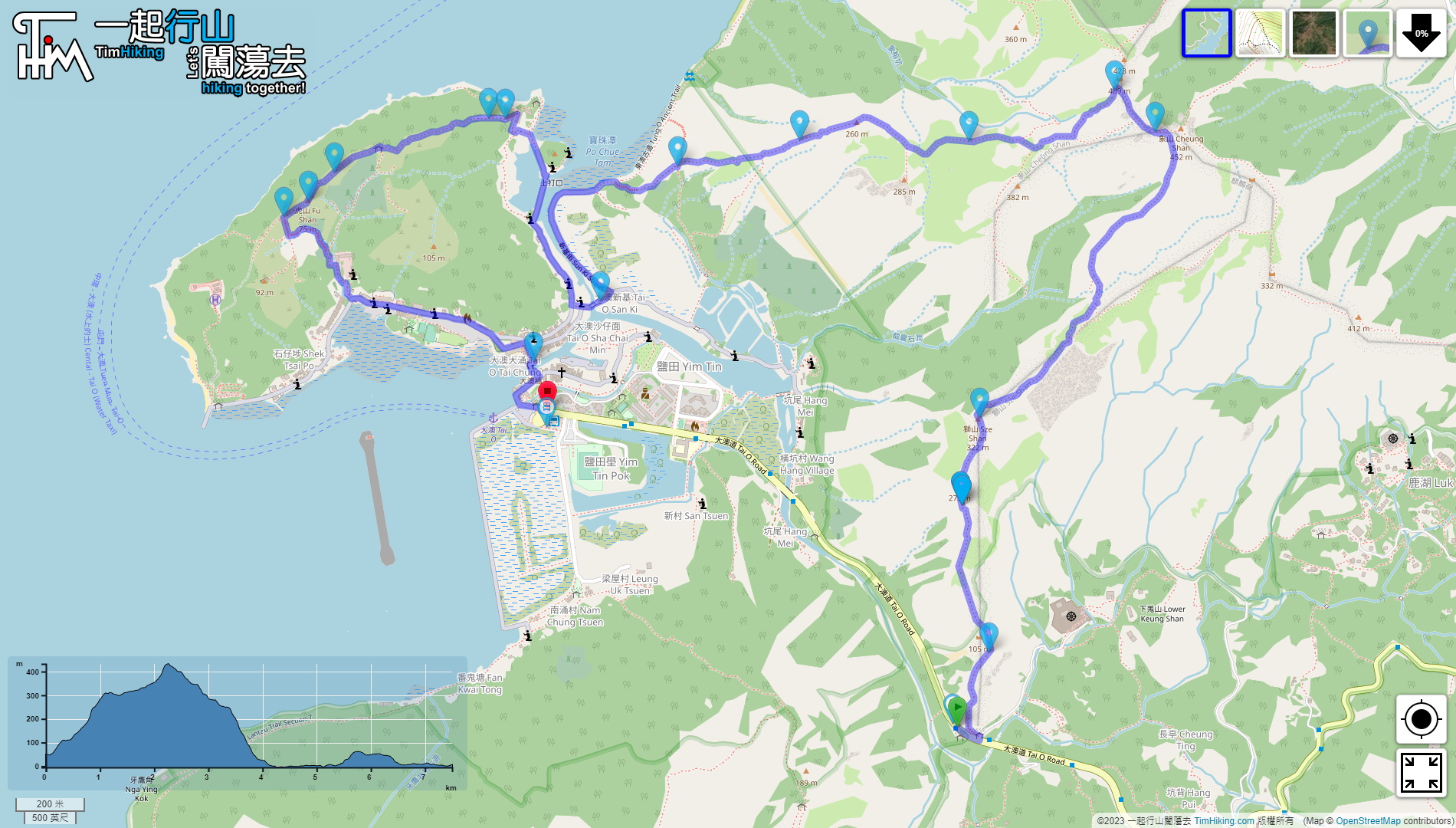
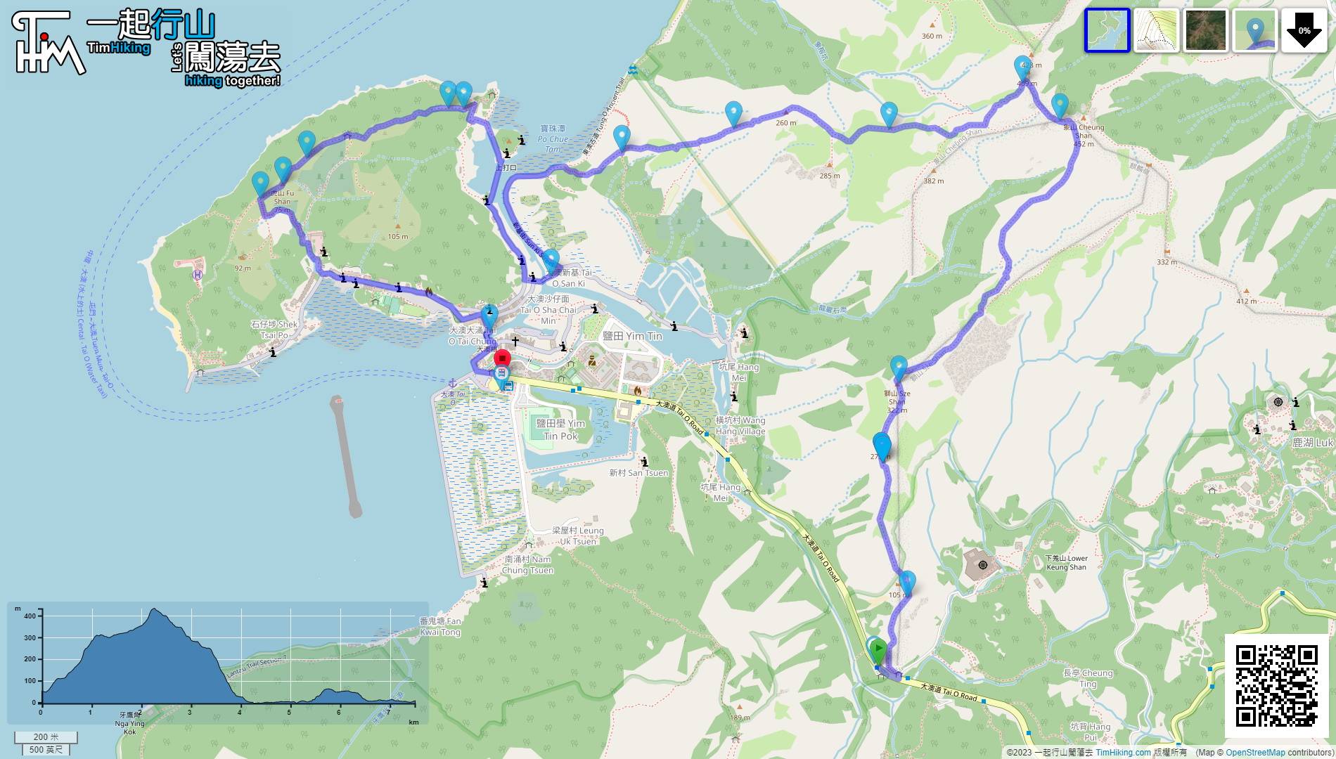
| Length : | 7.5km | ||
| Time : | 5½hours | ||
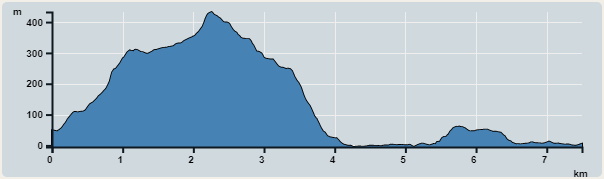 | |
| Ascent : 503m | Descent : 535m |
| Max : 433m | Min : 0m |
| (The accuracy of elevation is +/-30m) | |


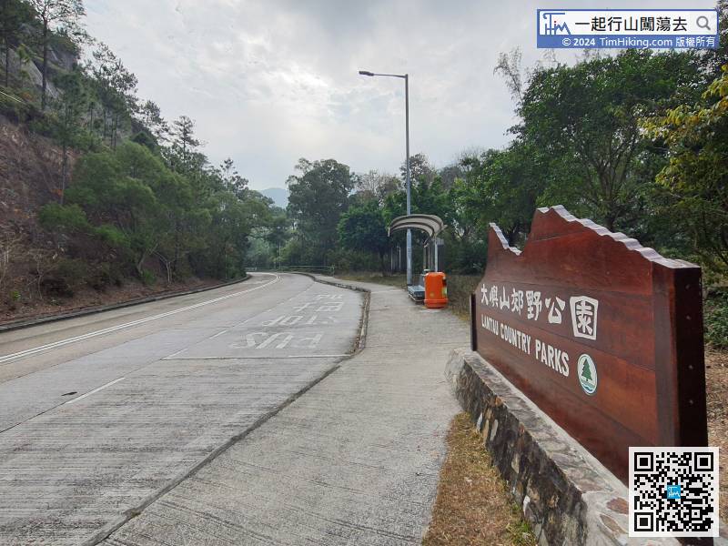
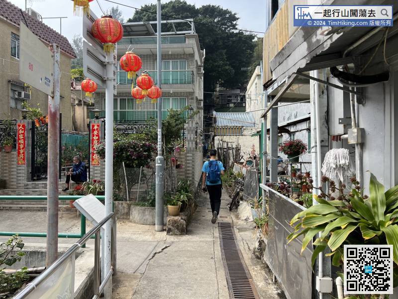
To get to the starting point, take Lantau Bus No.11 and get off at Ling Yan Temple bus stop.
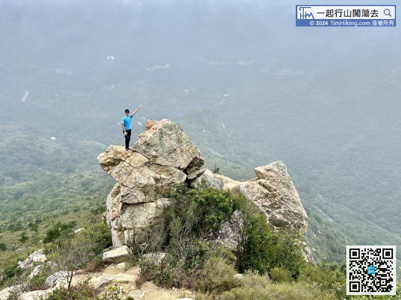
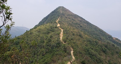
The shape of Hen Rock is like a hen hatching an egg. It has a head, a body and a tail. It looks a little bit like it from the top down.
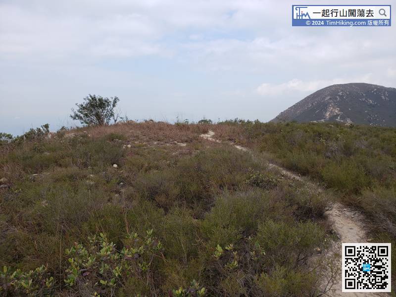
There is only one big tree on the top of the mountain, no Trigonometrical Station, it seems nothing special,
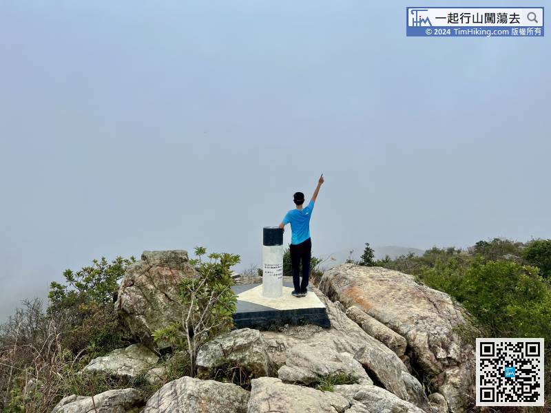
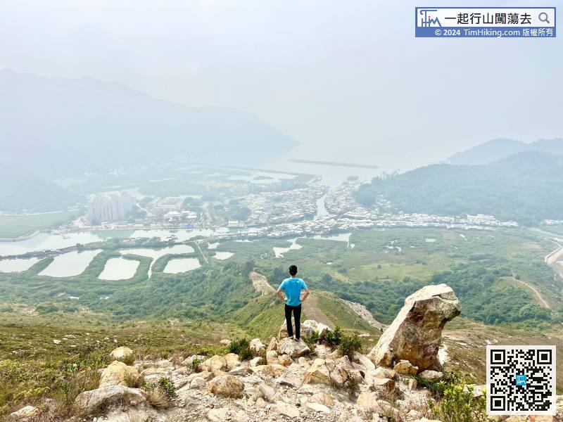
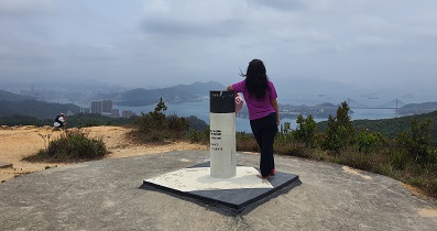
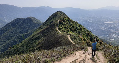
Middle Hill is 450 meters high and has a Trigonometric Station. It is only 1.2 kilometres from Sze Shan to Middle Hill, and it will be there soon.
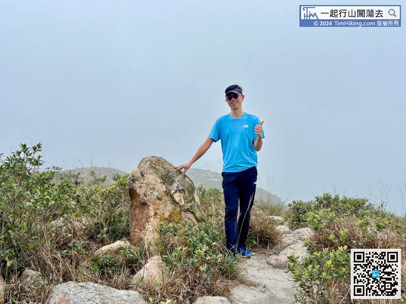
You may find a big rock that looks like a snake's head among the gravel, let's call it Snake Head Rock!
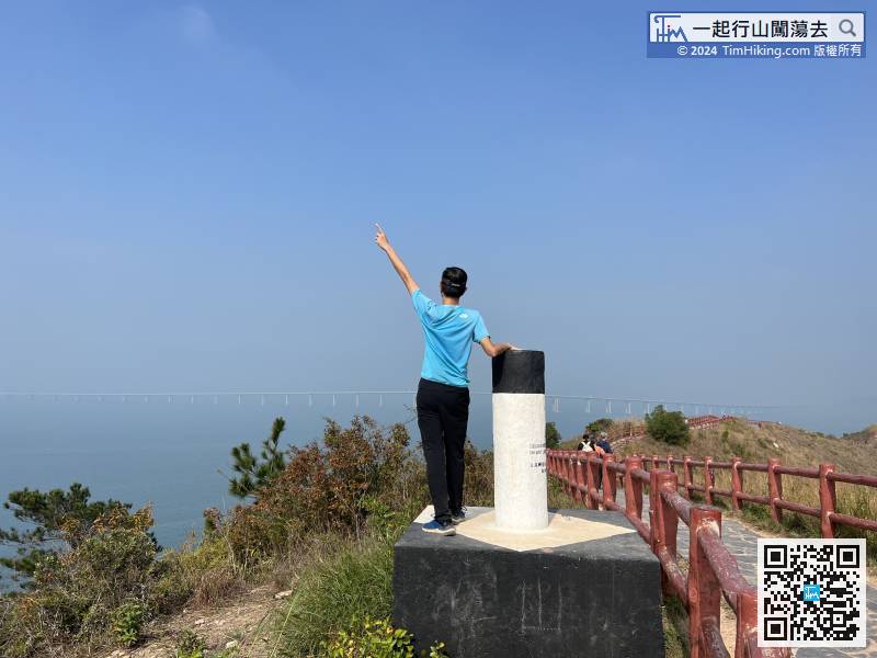
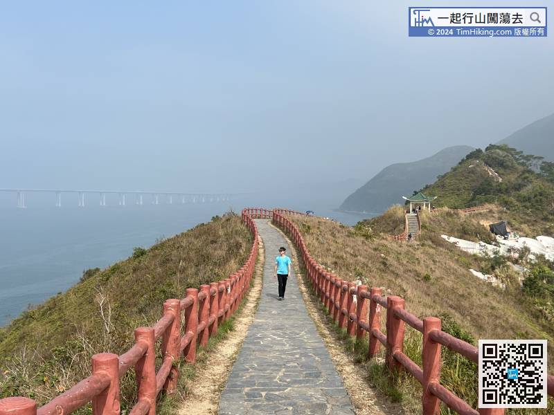
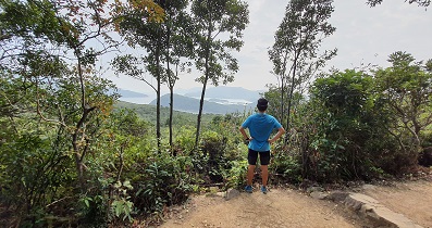
Fu Shan is 77 meters high and has a Trigonometrical Station with a panoramic view of Peral River.


