一起行山闖蕩去

Yuk Kwai Shan
Ap Lei Pai

 Yuk Kwai Shan, Ap Lei Pai  Login can add to my Favorite

 2022-07-13
 Total Views: 206,806     
 Map 「Yuk Kwai Shan, Ap Lei Pai」路線Map
View :
Difficulty :
(edge climbing)

(return to the starting point)
Path :
Length : 4.4km
Estimate : 3½hours
Ascent : 194m  Descent : 249m  Max : 176m  Min : 2m<br><p class='smallfont'>The accuracy of elevation is +/-30m

Ascent : 194mDescent : 249m
Max : 176mMin : 2m
(The accuracy of elevation is +/-30m)  
Section :
 
Trail 30%
Road 20%
Gravel 20%
Stream 30%
Slope :
 
Ascent 194m (44%)
Descent 249m (56%)
Exposure :
 
100%
Climb :
 
 
Start Point :
港鐵 Bus Minibus Taxi 
Support :
 
 
End Point :
港鐵 Bus Minibus Taxi 
 ©2024 一起行山闖蕩去 TimHiking.com


12︰and the other side has a warm reminder sign has two roads,
The starting point is at Ap Lei Chau, the transport is very convenient now, just take the MTR to Lei Tung Station, then leave from Exit B,


 ©2024 一起行山闖蕩去 TimHiking.com
22︰Yuk Kwai Shan is 196 meters high, and there is a Trigonometrical Station on the top of the mountain, with a 360-degree view.
After reaching the top, pay attention to the trail on the left. Hikers who do not edge climbing are better to downhill there. The slope of this trail is smaller, and it is not recommended to go down from the middle.


 ©2024 一起行山闖蕩去 TimHiking.com
33︰To the bottom is Tombolo, and the front is Ap Lei Pai.
To the bottom is Tombolo, and the front is Ap Lei Pai.


 ©2024 一起行山闖蕩去 TimHiking.com
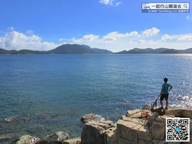
51︰Take pictures, enjoy the view, and take a break.
Find the best way from the left, and climb carefully down the lighthouse.


 ©2024 一起行山闖蕩去 TimHiking.com
64︰On the day of the shooting was a big low tide, the Chart Datum was only 0.7 meters, and the water level was relatively low.
面前的筆直的崖壁The straight cliff in front is majestic, a bit like Lei Yue Mun Quarry.


 ©2024 一起行山闖蕩去 TimHiking.com
The next climb is at most a boulder shuttle,


 ©2024 一起行山闖蕩去 TimHiking.com


 ©2024 一起行山闖蕩去 TimHiking.com


TimHiking【Yuk Kwai Shan . Ap Lei Pai】Hong Kong Hiking Map


Alias:      Email: 
   

😄
* Photos can only be personal or landscape photos, and group photos are authorized for portrait rights by default. In addition, headshots, dangerous shots, or photos containing promotional elements are not accepted.
* The shared content may be published after revision. The content must be absolutely positive. If it does not meet the standards, the content will be deleted.
* The message will be approved within one day, and the final decision-making authority will be reserved for TimHiking.

 Thanks a lot! Hope our hiking information is helpful to you. Everyone is happy to go hiking and safely!
 Welcome to use  Payme   AlipayHK  to sponsor Tim Sir's efforts! Continue to give selflessly for the mountain world.

因為神賜給我們的不是膽怯的心,而是剛強、仁愛、自製的心。

提摩太後書 1:7 和修版