


 Recommend YouTube


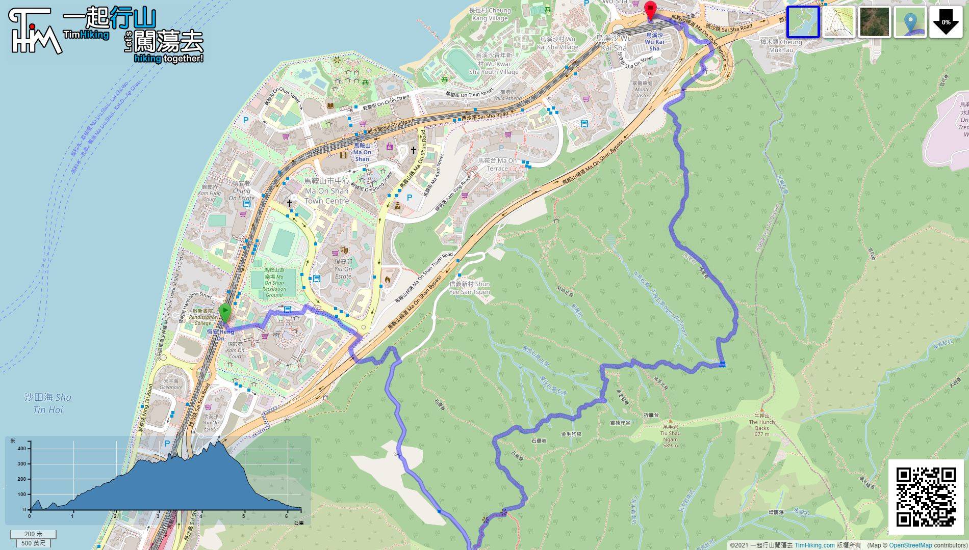
| View : |  | ||
| Difficulty : |  | ||
| Path : | |||
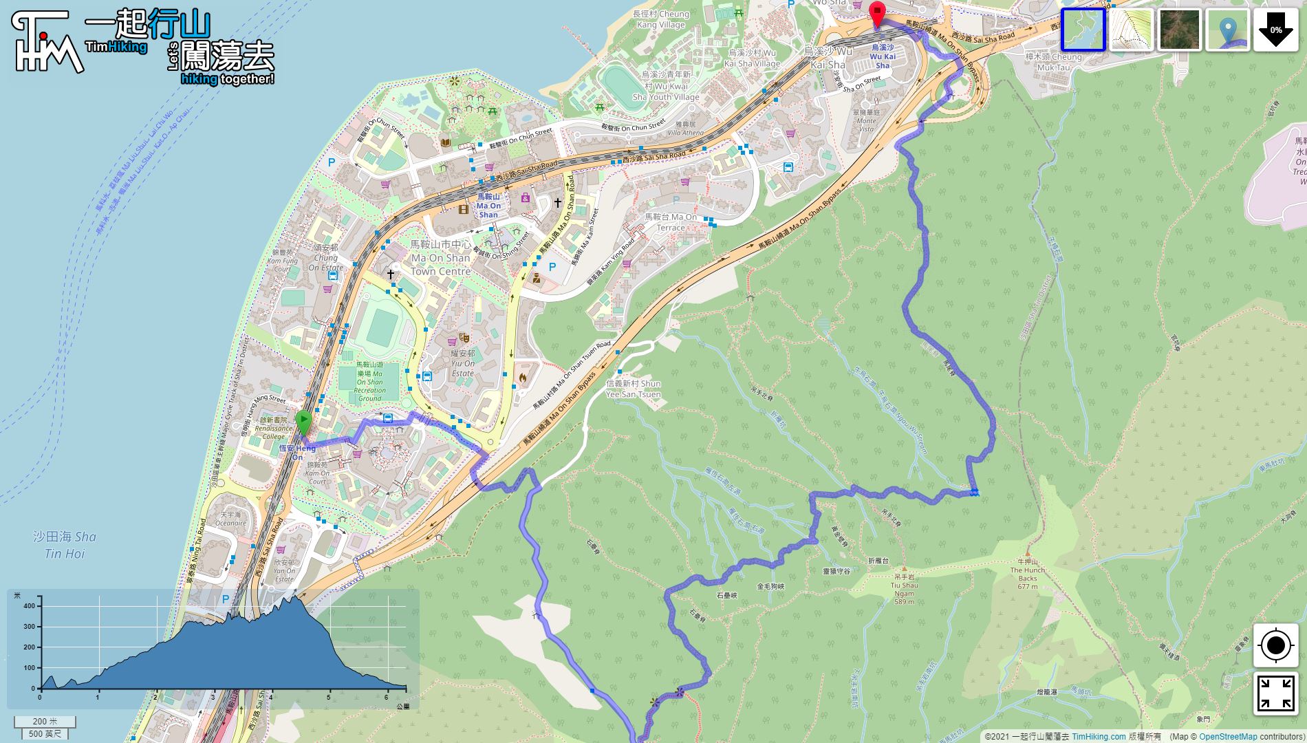
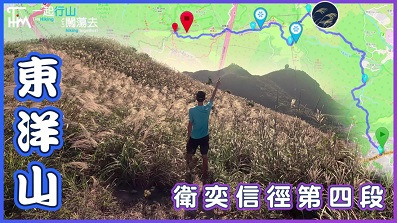
| Length : | 6.4km | ||
| Time : | 4hours | ||
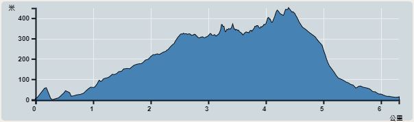 | |
| Ascent : 815m | Descent : 810m |
| Max : 449m | Min : 0m |
| (The accuracy of elevation is +/-30m) | |


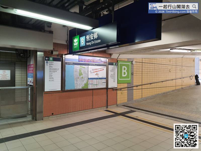
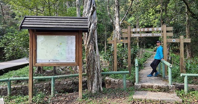
The starting point of the trail is closer to Heng On Station. First, leave from Exit B,
 17︰Beside the highway, there is a barren trail uphill on the right,
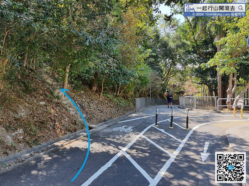
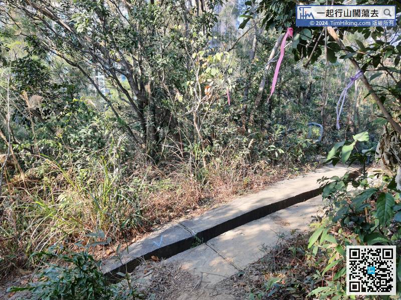
Go back several tens of meters, and will find the barren trail going up on the left.
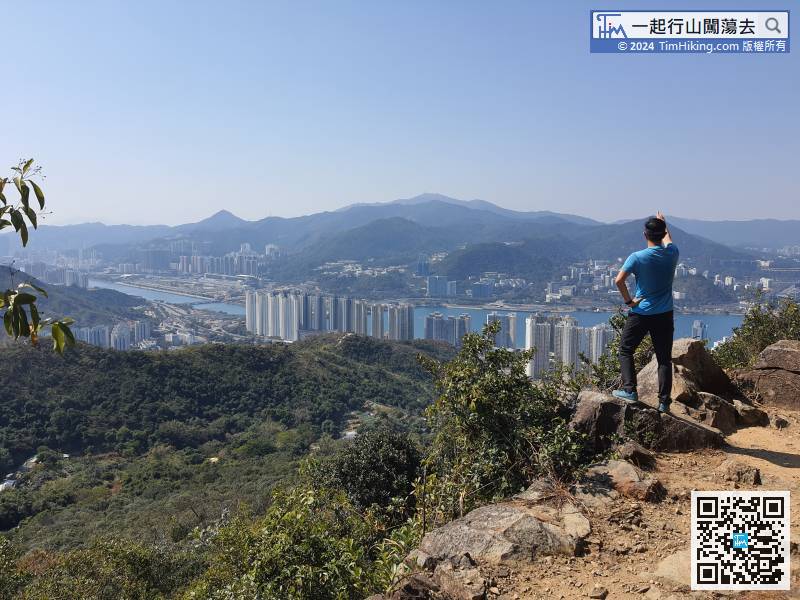
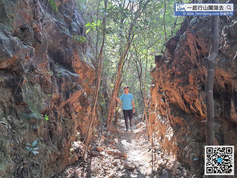
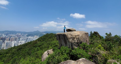
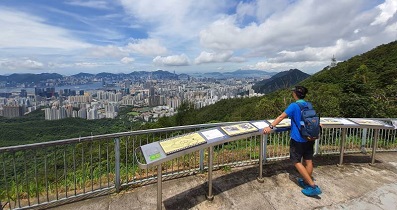
28︰This way, the distance can be reduced by 1km of concrete road.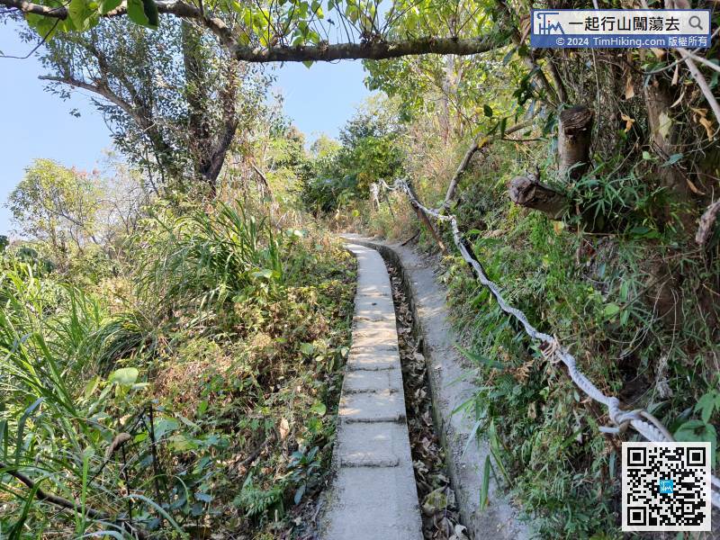 46︰The Ngan Valley Lost Trail in the front section has good open scenery,
 50︰Go on the Ngan Valley Lost Trail for about 350 meters. The bifurcated road on the right is the Shek Nui Ridge.
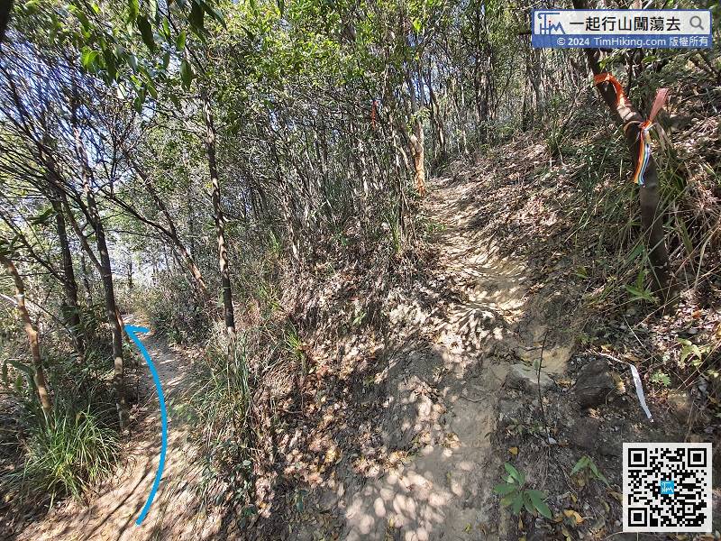
Go on the Ngan Valley Lost Trail for about 350 meters. The bifurcated road on the right is the Shek Nui Ridge.
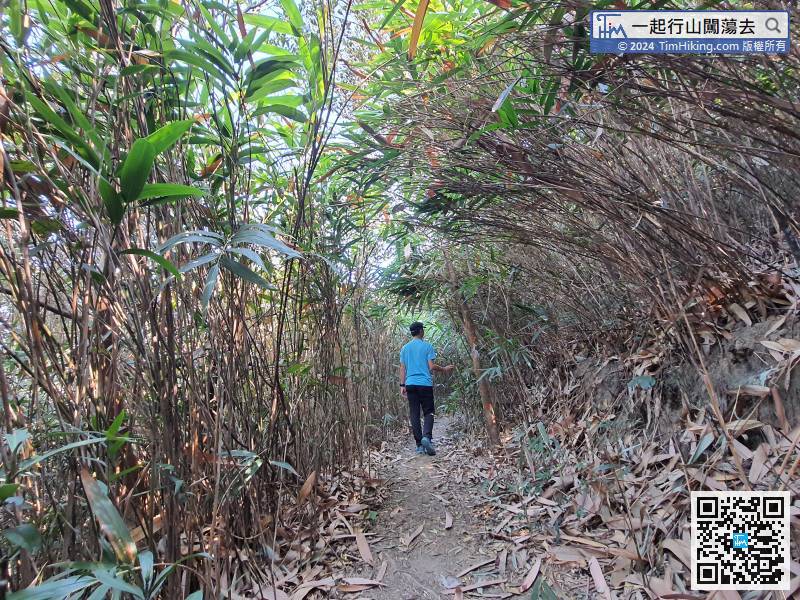
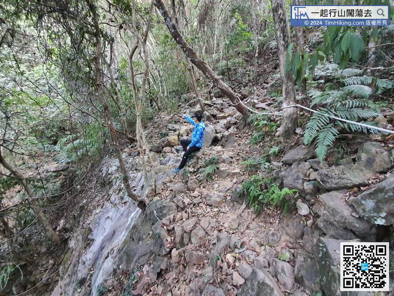
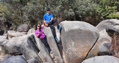
66︰There is a collapsed ravine in front, just follow the directions on the stone to pass it.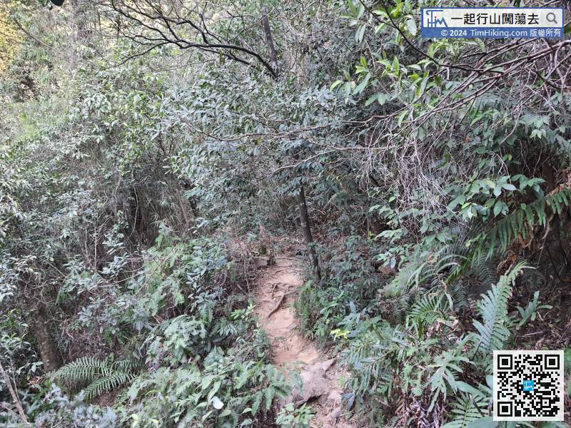 77︰After passing the bifurcation of the Golden Wall Ridge, the mountain trail become rugged,
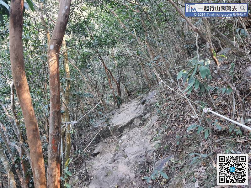
After passing the bifurcation of the Golden Wall Ridge, the mountain trail become rugged,
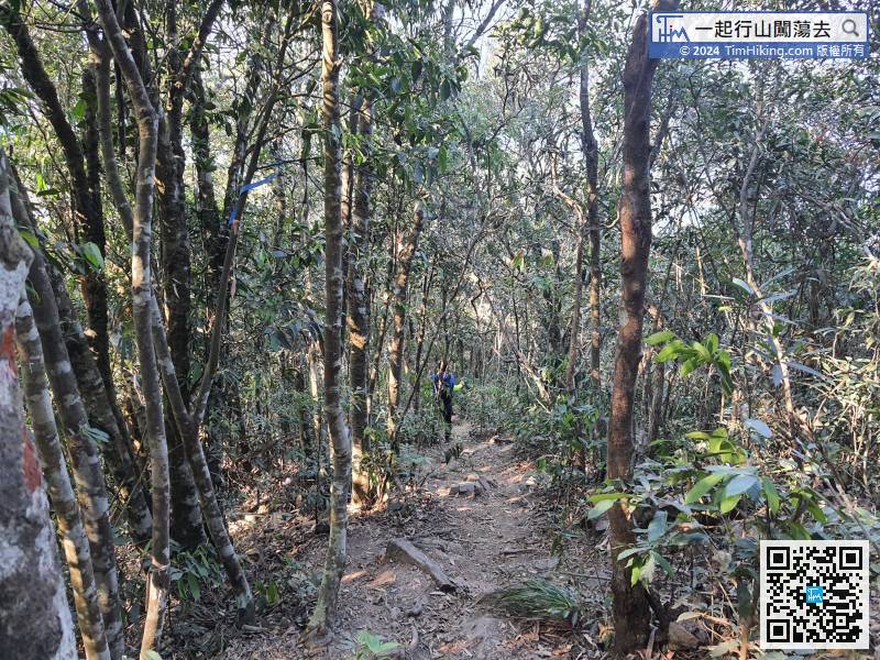
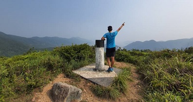
90︰and needs to climb upwards.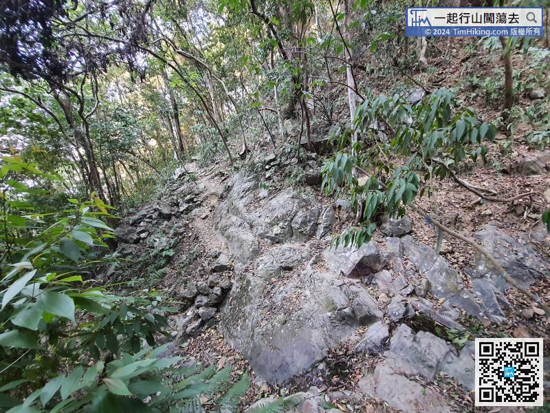
The most dangerous position has not yet been passed.


