


 Recommend YouTube


| View : |  | ||
| Difficulty : |  | ||
| Path : | |||
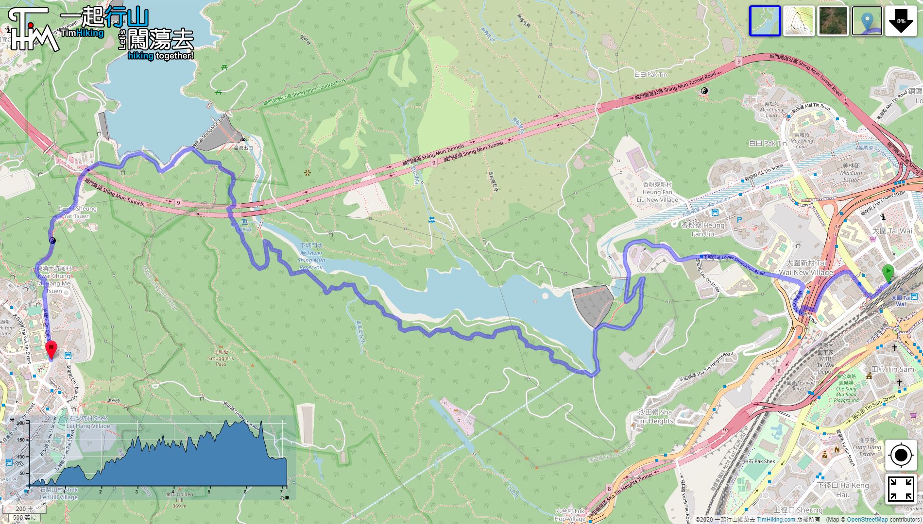
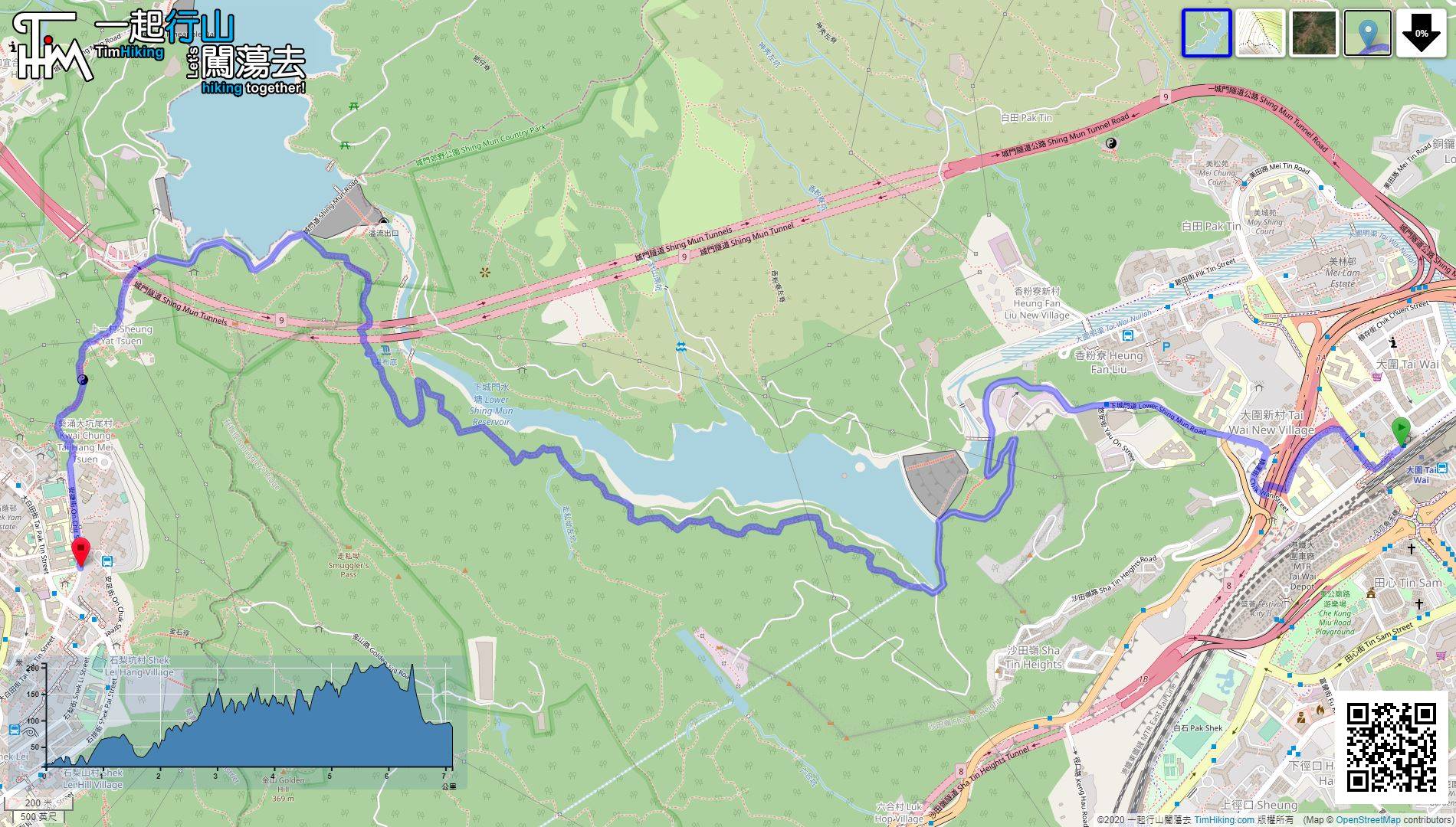
| Length : | 7.1km | ||
| Time : | 3hours | ||
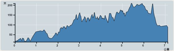 | |
| Ascent : 748m | Descent : 664m |
| Max : 208m | Min : 13m |
| (The accuracy of elevation is +/-30m) | |


 Drinking Machine
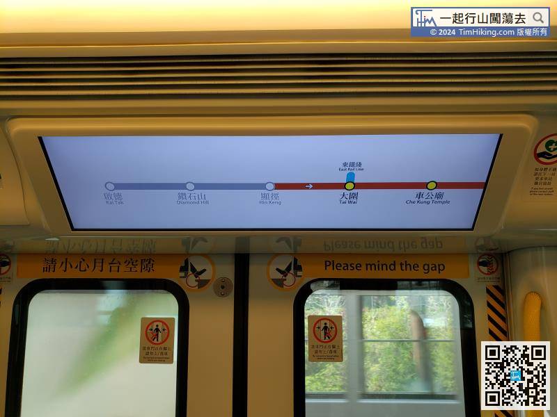
Tuen Ma Line has been extended to Kai Tak. It is much faster and more convenient to go from Diamond Hill to Tai Wai.
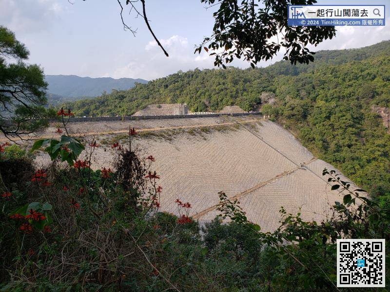
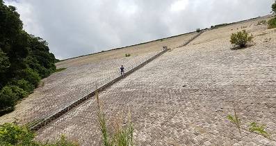
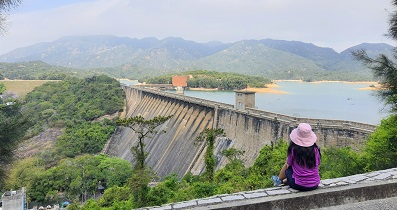
 17︰Starting from the bulletin board, walk for about 20 minutes, will see the Lower Shing Mun Reservoir Main Dam.
Starting from the bulletin board, walk for about 20 minutes, will see the Lower Shing Mun Reservoir Main Dam.
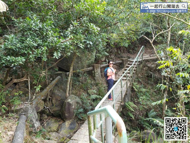
32︰and Masonry Bridge.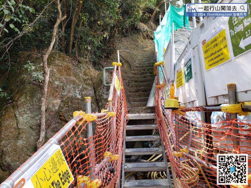
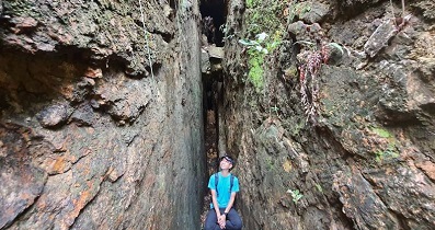
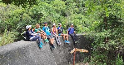
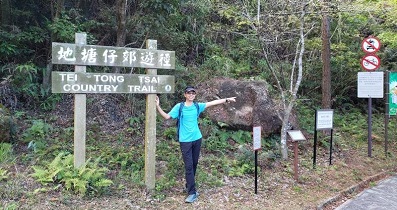
Step up the stairs and enter the mountain trail.
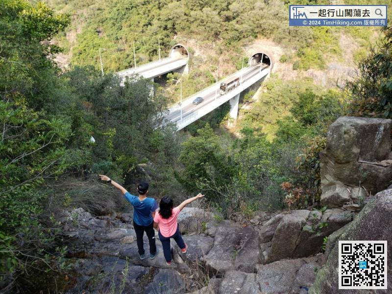
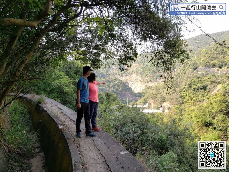
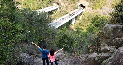
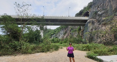
49︰the Shing Mun Tunnel vehicular bridge is getting closer and closer.


