


 Recommend YouTube


| View : |  | ||
| Difficulty : |  | ||
| Path : | |||
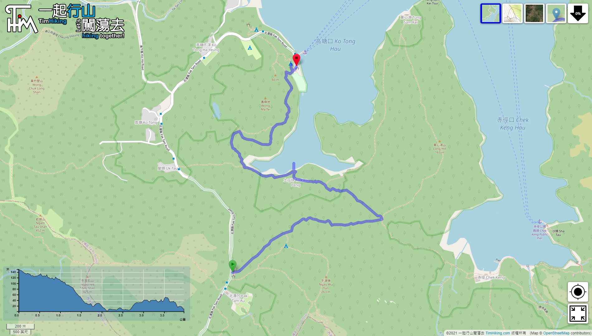
| Length : | 4km | ||
| Time : | 1hours | ||
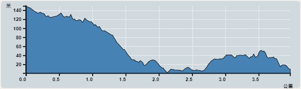 | |
| Ascent : 158m | Descent : 298m |
| Max : 149m | Min : 1m |
| (The accuracy of elevation is +/-30m) | |


 5︰go along the concrete road,
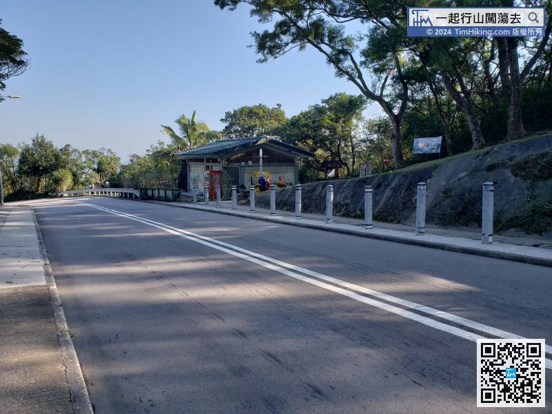
The starting point is at Pak Tam Au. You can take the 94/96R at Sai Kung and get off at Pak Tam Au bus stop.
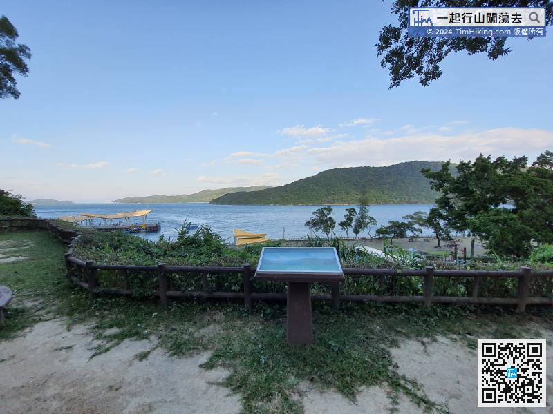
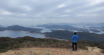
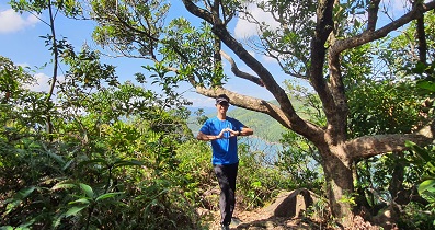
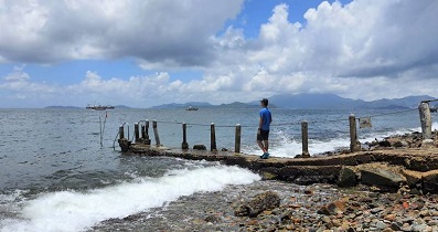
11︰The scenery can see Ko Tong Hau, with Wong Shek on the left, Tung Sam Kei on the right, and To Kwa Peng near the coast.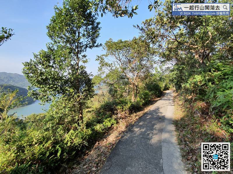 17︰and then the next is the ordinary concrete road.
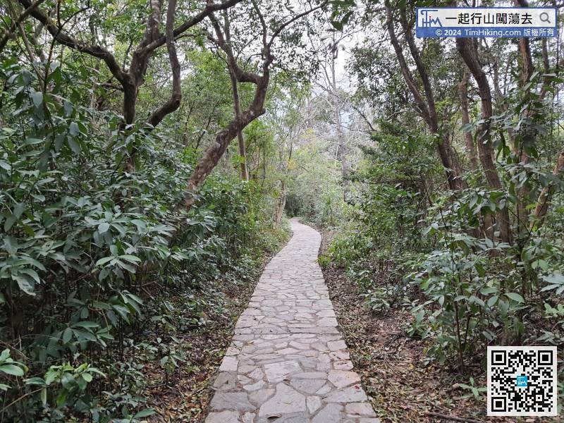 24︰There is a small pier on the shore with a small lighthouse, which is the same as Chek Keng.
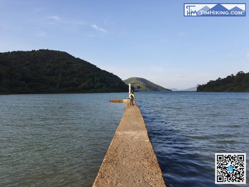
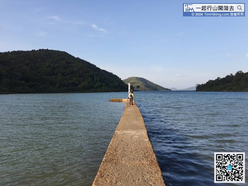
There is a small pier on the shore with a small lighthouse, which is the same as Chek Keng.
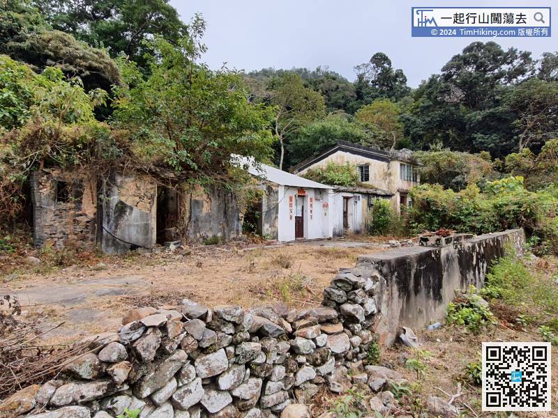
35︰In fact, the bifurcated roads lead to the same goal. 44︰the campsite is like a terrace,
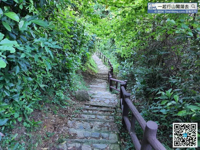


