


 Recommend YouTube


| View : |  | ||
| Difficulty : |  | ||
| Path : | |||
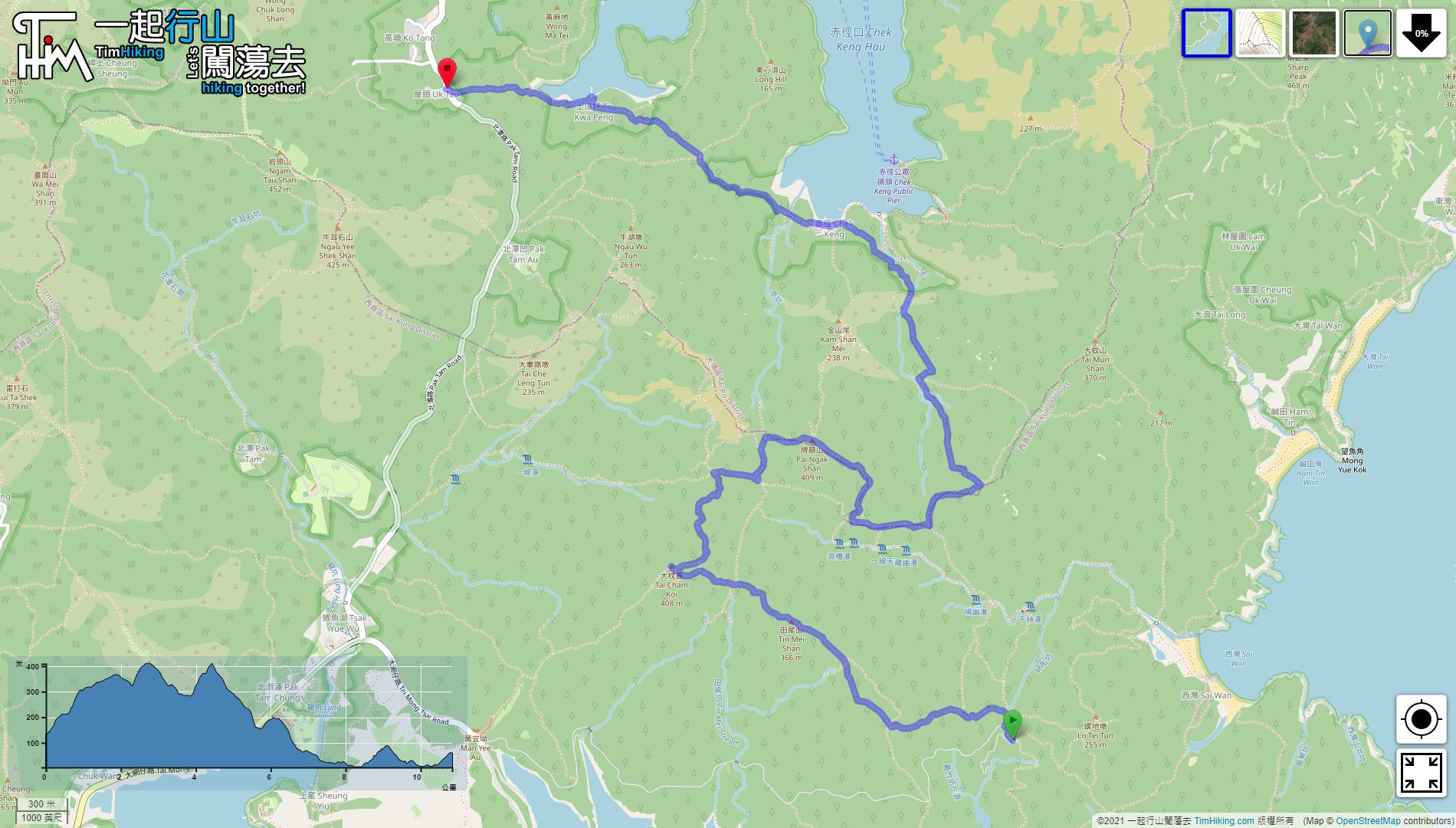
| Length : | 10.9km | ||
| Time : | 6hours | ||
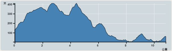 | |
| Ascent : 550m | Descent : 630m |
| Max : 393m | Min : 4m |
| (The accuracy of elevation is +/-30m) | |


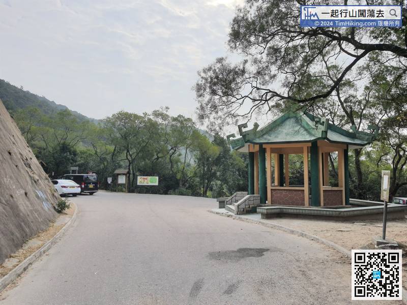
 Chek KengStore
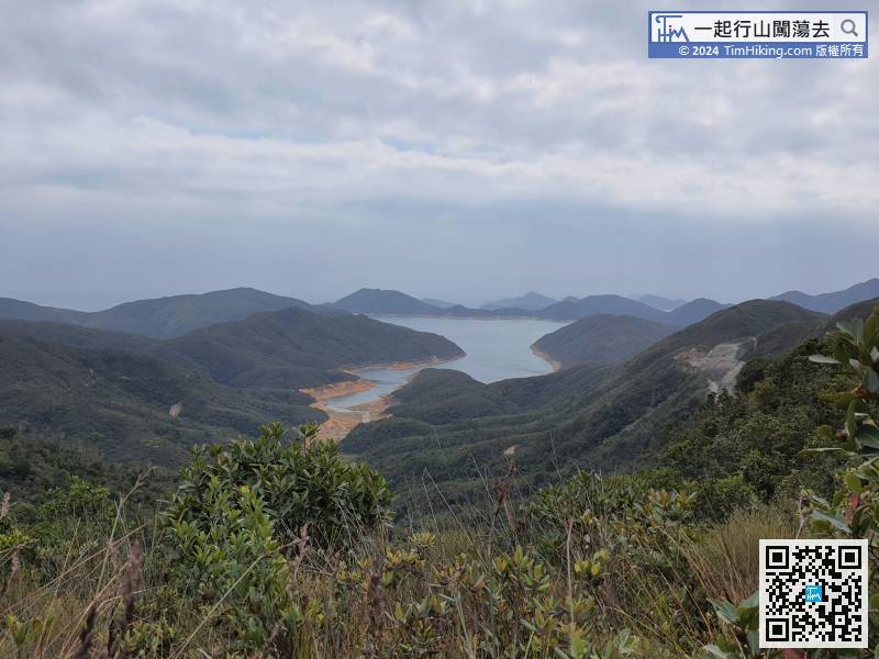
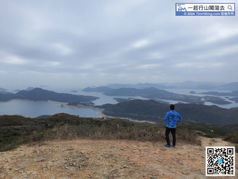
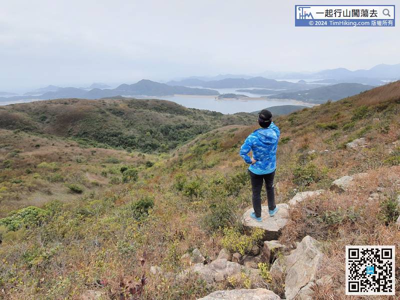
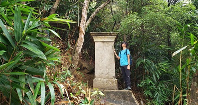
 33︰There is no trigonometrical station on the top of Tin Mei Shan. The scenery can be seen Sharp Peak. Tai Mun Shan in front is easy to recognize.
There is no trigonometrical station on the top of Tin Mei Shan. The scenery can be seen Sharp Peak. Tai Mun Shan in front is easy to recognize.
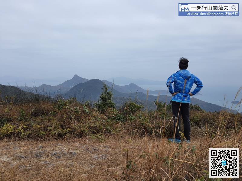
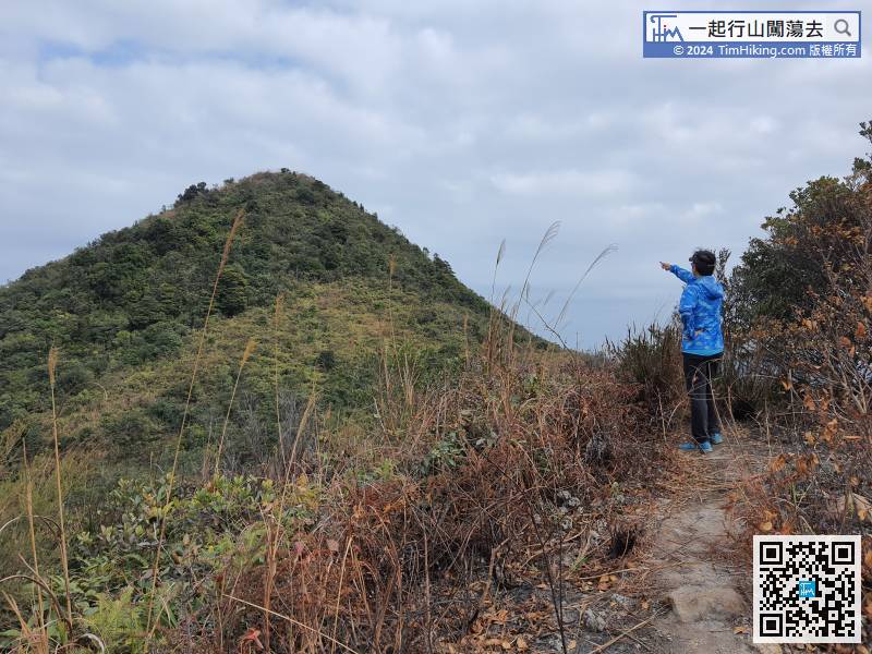
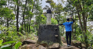
41︰Tai Cham Koi has a trigonometrical station, and the scenery is even better than Tin Mei Shan.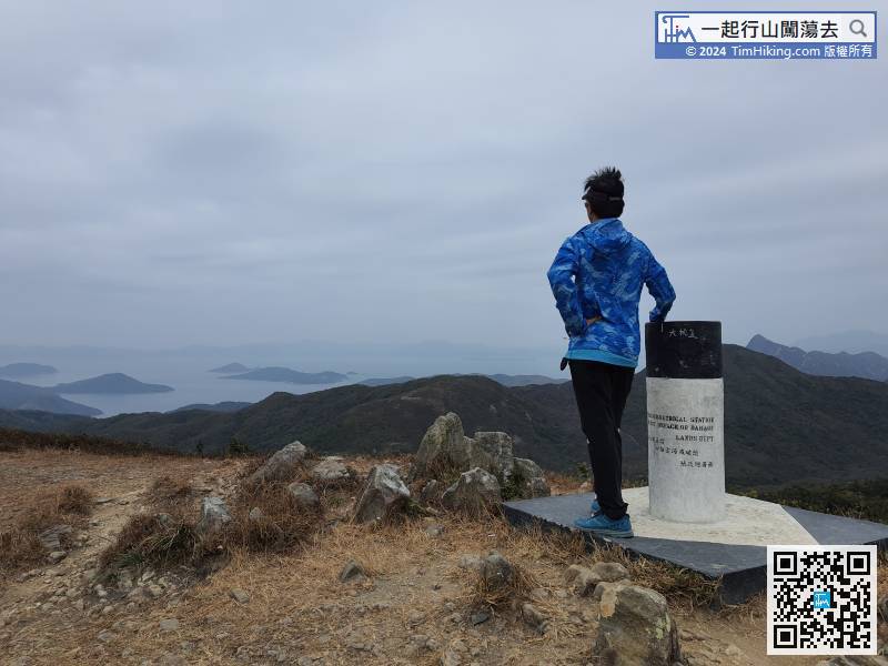
Tai Cham Koi has a trigonometrical station, and the scenery is even better than Tin Mei Shan.
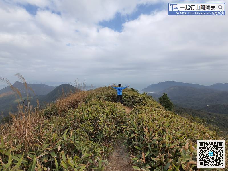
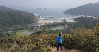
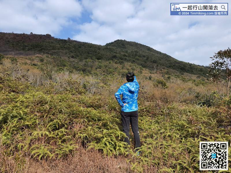 70︰The top of Pai Ngak Shan is generally open scenery,
 91︰the trails conditions are generally muddy roads,
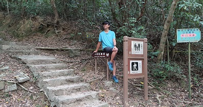
After returning to the Luk Wu Country Trail, keep to the left,
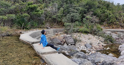
102︰When going to a curved stone bridge which is the Pak Hang, the view is nice. 108︰A few steps ahead, will connect to MacLehose Trail, and the Luk Chek Path is over.
 120︰and the rest is an ordinary concrete road.
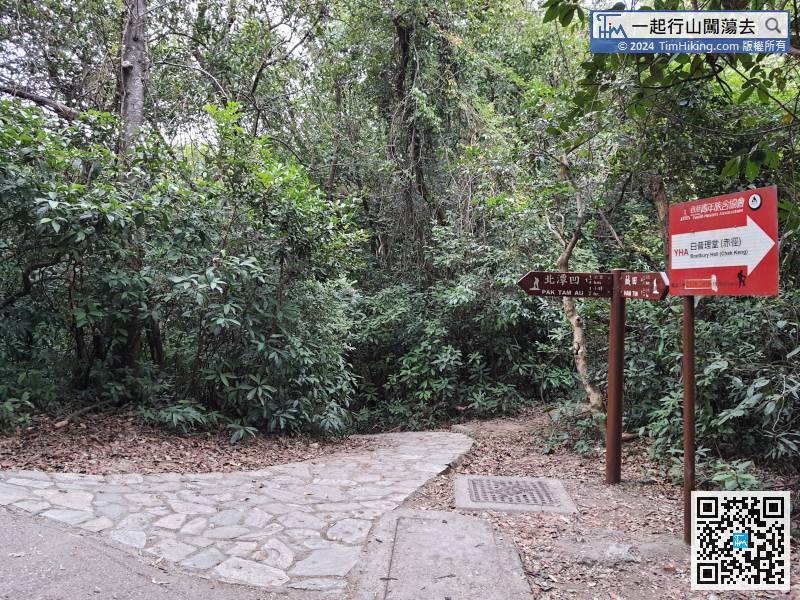
This time, do not go straight to Pak Tam Au,


