


 Recommend YouTube


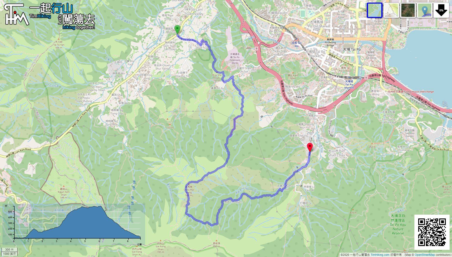
| View : |  | ||
| Difficulty : |  | ||
| Path : | |||
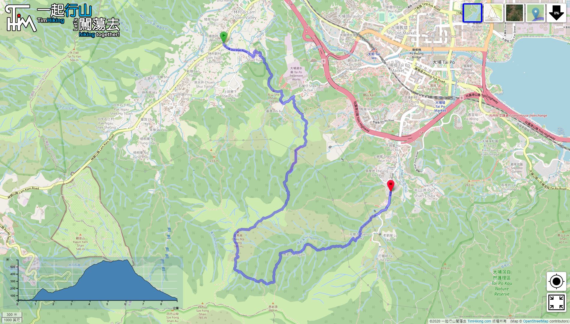
| Length : | 8.9km | ||
| Time : | 5hours | ||
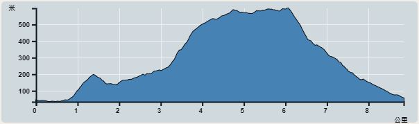 | |
| Ascent : 596m | Descent : 580m |
| Max : 598m | Min : 27m |
| (The accuracy of elevation is +/-30m) | |


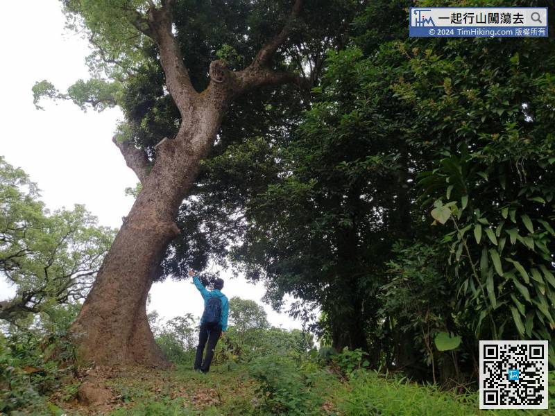
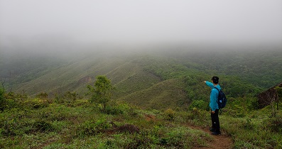
 21︰and Tai To Yan in front.
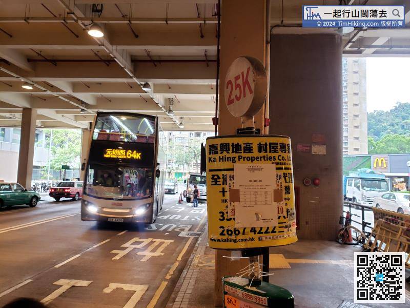
From Tai Wo Station, you can take minibus 25K or bus 64K.
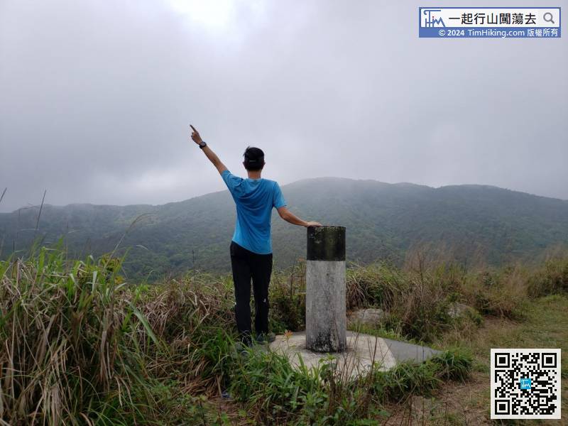
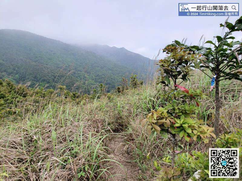
22︰Just two more steps, will come to the top of She Shan. There is a trigonometrical station on the top of the mountain, but the scenery do not have too much open view.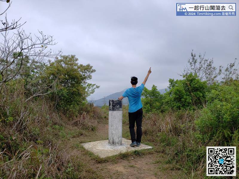
Just two more steps, will come to the top of She Shan. There is a trigonometrical station on the top of the mountain, but the scenery do not have too much open view.
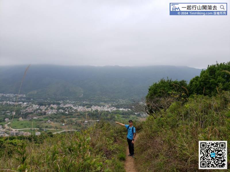
40︰keep going straight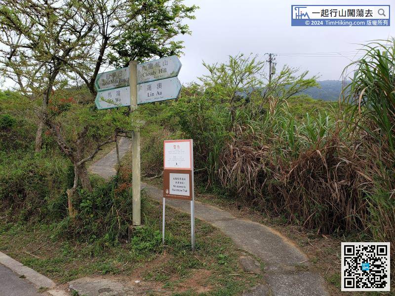 55︰The scenery here is mainly Pat Heung Lam Tsuen.
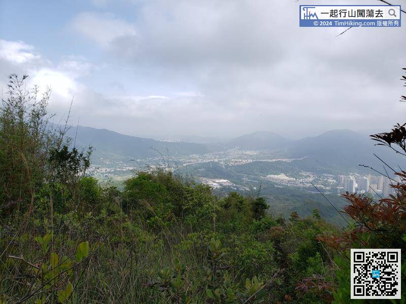
There are two roads leaving Chau Ma Kong, go straight to the more obvious trail down the mountain, the correct direction is southwest, and the other northwest is towards Ng Tung Chai.
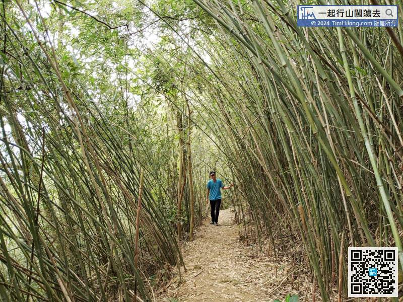
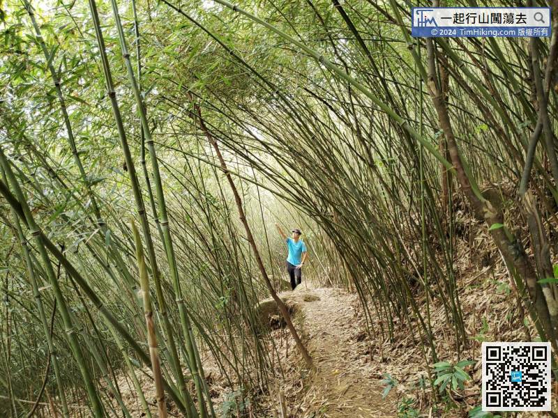
89︰and step into the Bamboo Tunnel in an instance.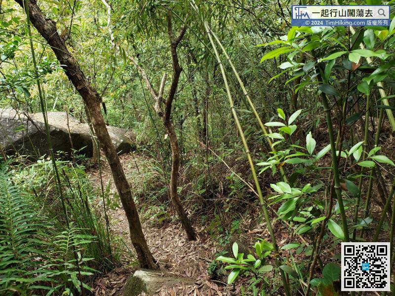
After a while, soon will see the bamboo forest


