


 Recommend YouTube

| View : |  | ||
| Difficulty : |  | ||
| Path : | |||
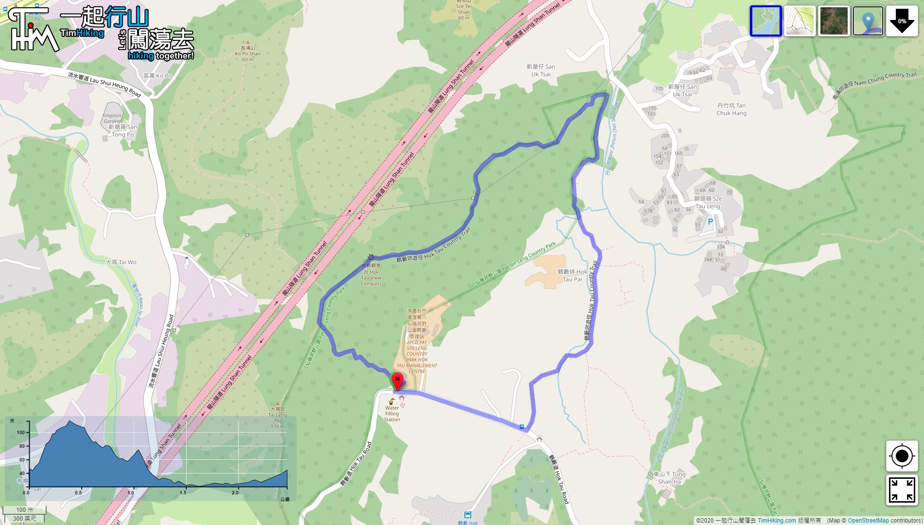
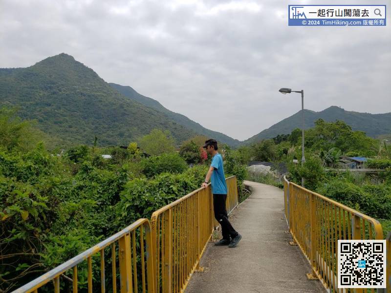
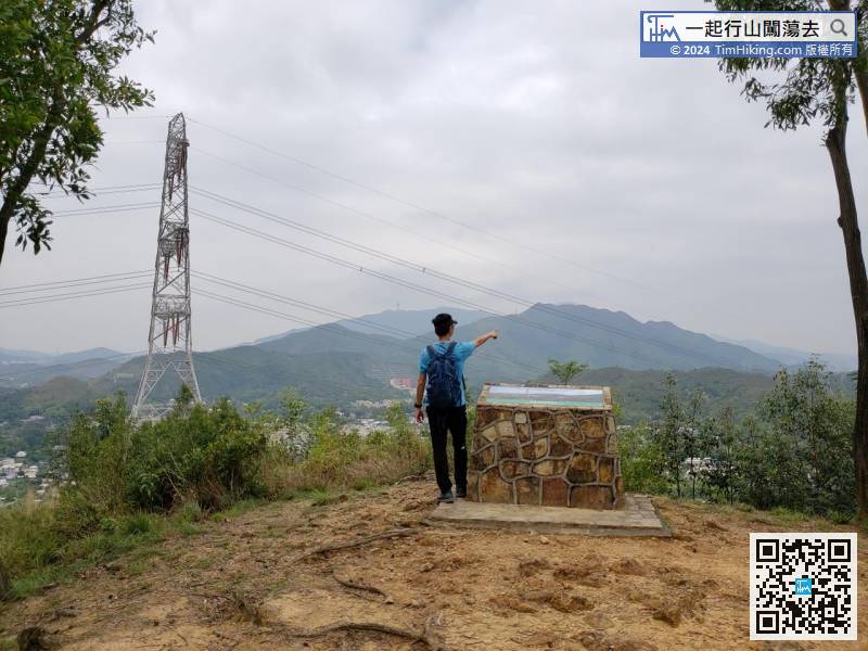
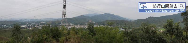
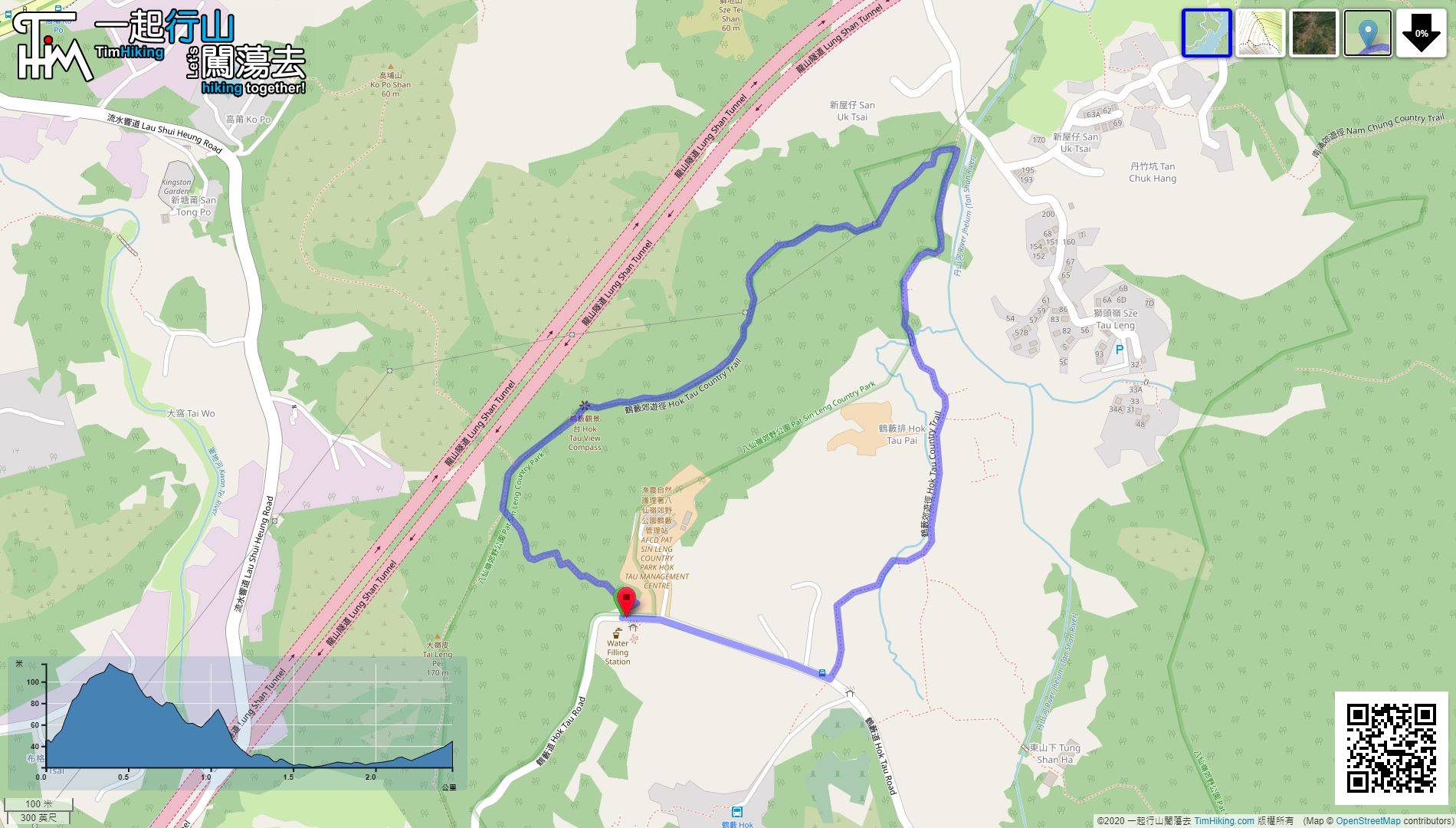
| Length : | 2.5km | ||
| Time : | 1hours | ||
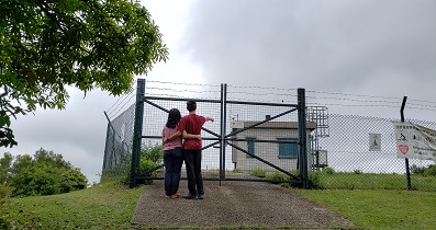
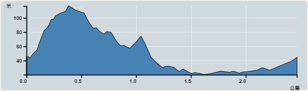 | |
| Ascent : 97m | Descent : 97m |
| Max : 137m | Min : 130m |
| (The accuracy of elevation is +/-30m) | |


| View : | | ||
| Difficulty : | | ||
| Path : | |||
| Length : | 2.5km | ||
| Time : | 1hours | ||
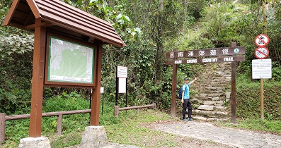
| |
| Ascent : 97m | Descent : 97m |
| Max : 137m | Min : 130m |
| (The accuracy of elevation is +/-30m) | |
Thanks a lot! Hope our hiking information is helpful to you. Everyone is happy to go hiking and safely!
Welcome to use Payme AlipayHK to sponsor Tim Sir's efforts! Continue to give selflessly for the mountain world.
The one who guards his mouth and his tongue keeps his life from troubles.
Proverbs 21:23 NET

一起爬山闖蕩去 | timhiking | timhiking | timhiking | Message Board | Disclaimer


