


 Recommend YouTube


| View : |  | ||
| Difficulty : |  | ||
| Path : | |||
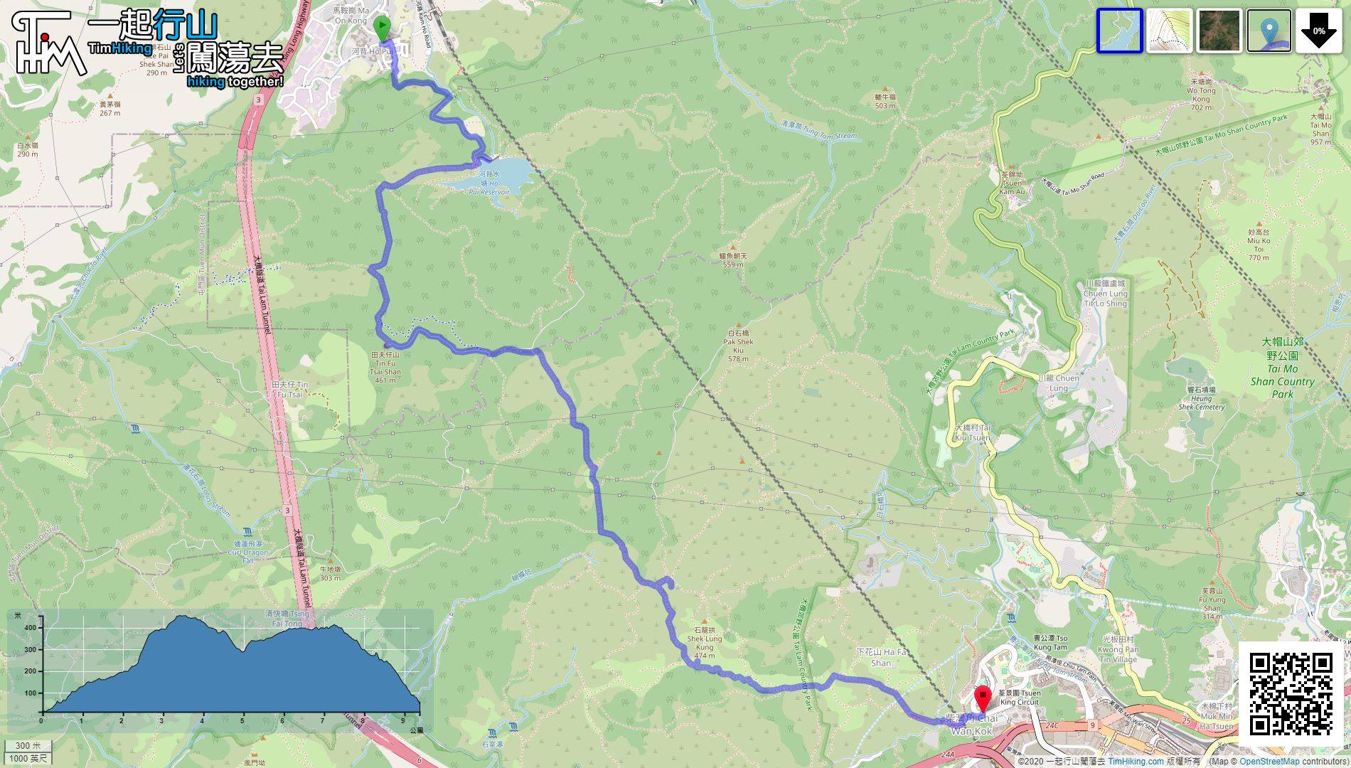
| Length : | 9.5km | ||
| Time : | 4½hours | ||
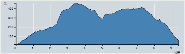 | |
| Ascent : 555m | Descent : 495m |
| Max : 454m | Min : 13m |
| (The accuracy of elevation is +/-30m) | |


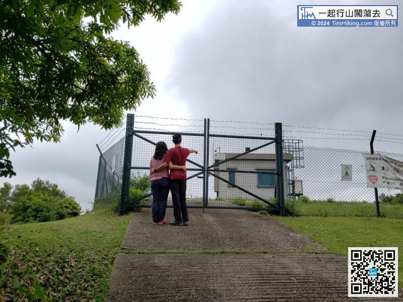
 8︰can clearly see the MTR Pat Heung Maintenance Centre.
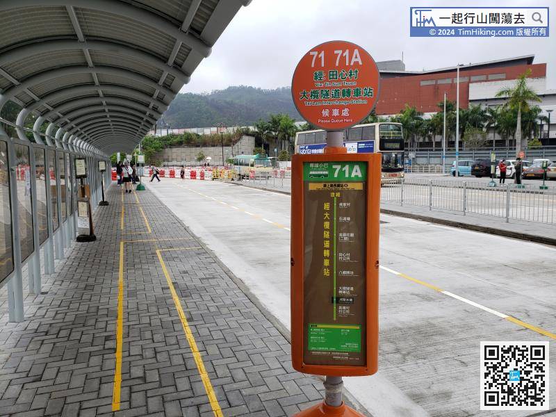
To get to Ho Pui Reservoir, you can take minibus 71 from Tai Hang Street at Yuen Long, or minibus 71A from Kam Sheung Road Station.
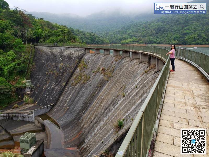
17︰The dam is in the shape of an S.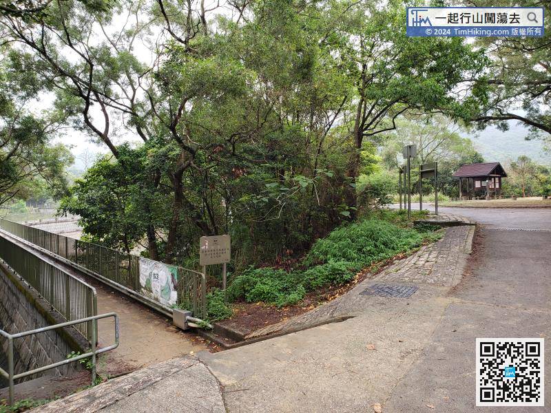
On the left side of the roundabout, there is a small step leading to the Ho Pui Reservoir Dam.
30︰The grass on this trail is very dense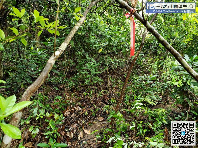
After entering the barren trail, there are a lot of ribbons leading the way along the trail.
63︰If seeing a deserted village, means you have missed the intersection.
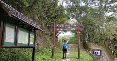
Leave Tin Fu Tsai Shan and go to the next destination Lin Fa Shan Public School.
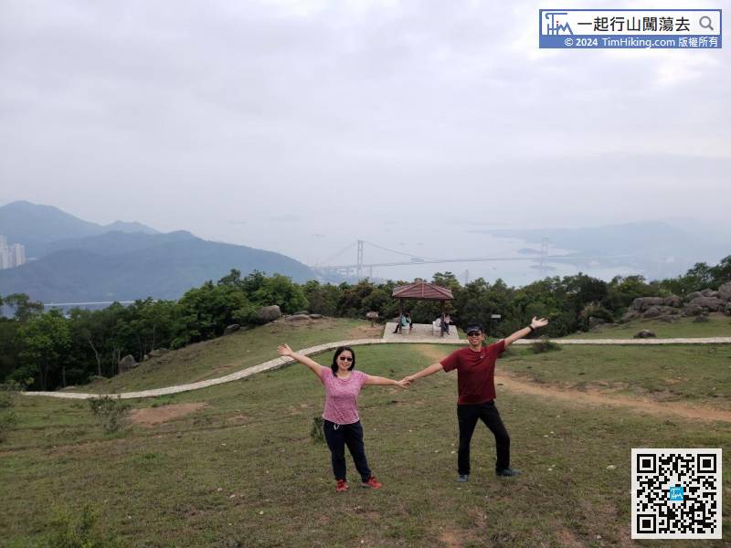
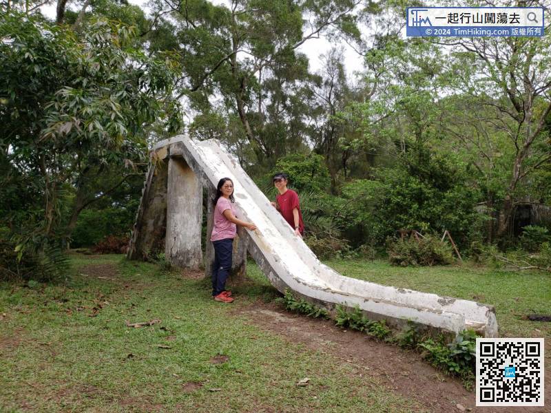
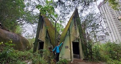
77︰About 3 minutes after walking in, will see the stone slide of Lin Fa Shan Public School. 85︰As long as going up a little bit, the landscape will become more open scenery. Tsing Ma Bridge, Tsuen Wan, and Tsing Yi are all in sight. It is an ideal place to rest.
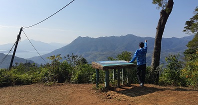
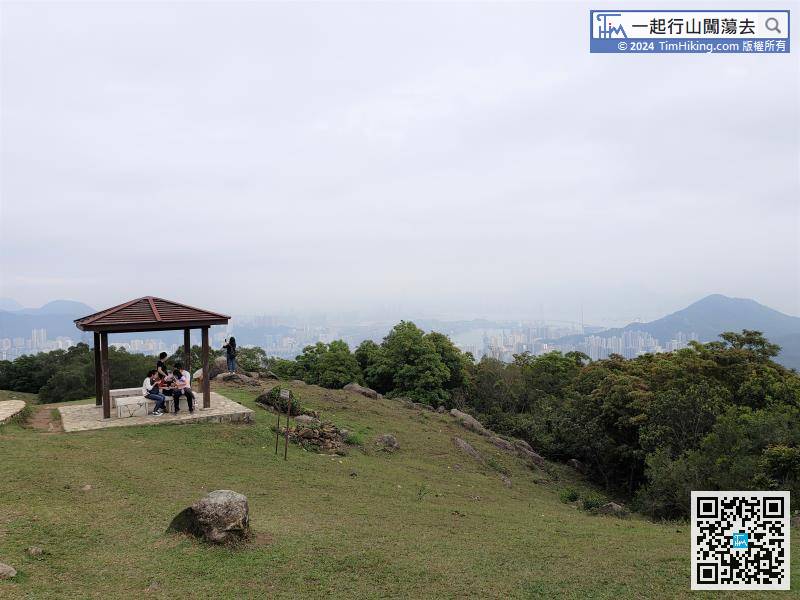


