


 Recommend YouTube


| View : |  | ||
| Difficulty : |  | ||
| Path : | |||
| Length : | 4.6km | ||
| Time : | 2hours | ||
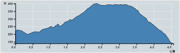 | |
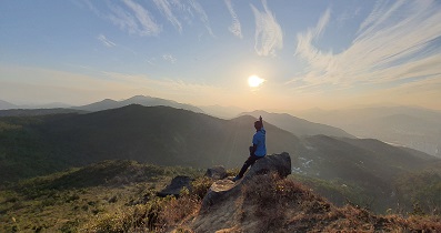
| Ascent : 252m | Descent : 332m |
| Max : 401m | Min : 139m |
| (The accuracy of elevation is +/-30m) | |


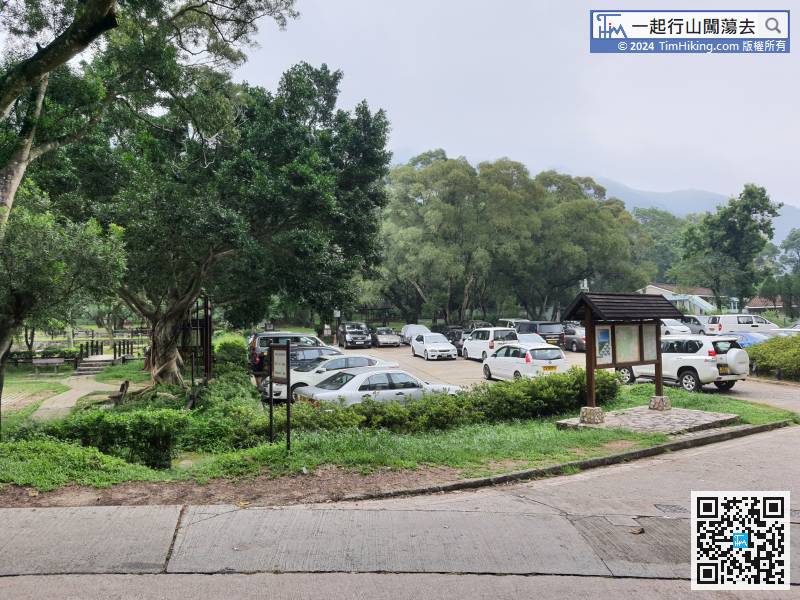
1. Taxi, and get off directly at Barbecue Site;2. On foot, you can go to Heng On Bus Terminal via Kam Ying Court. Ma On Shan Tsuen Road, and then start to walk up the hill along the footpath. Follow the concrete road and keep going uphill, until the end will connect to the narrow concrete road. From the foot of the mountain, it takes about 1.7km to walk up to Ma On Shan Country Park about 25 minutes;
3. NR84/84R village bus, can take NR84 at the bus stop in Ma On Shan MOSTown, 84R can take in Yiu On Estate;
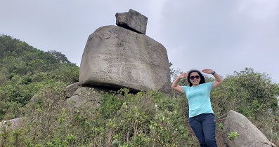
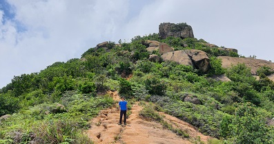
4. Hiking, from Tai Shui Hang comes by 【Frog Rock (Figure 1-43)】, the difficulty is 3.5 stars.
3. NR84/84R village bus, can take NR84 at the bus stop in Ma On Shan MOSTown, 84R can take in Yiu On Estate;
4. Hiking, from Tai Shui Hang comes by 【Frog Rock (Figure 1-43)】, the difficulty is 3.5 stars.
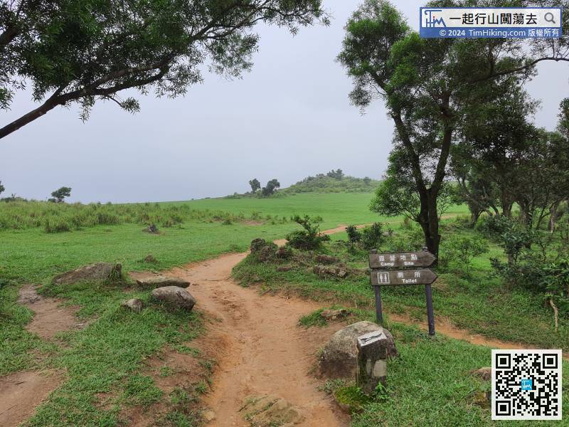
After arriving at the Ma On Shan Barbecue Site, will see a map on the bulletin board
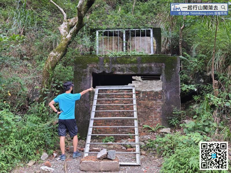
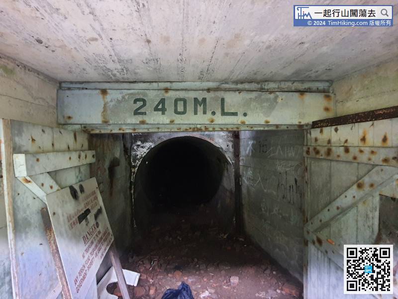
 28︰walk about 180 meters, will arrive at the entrance of 240ML mine.
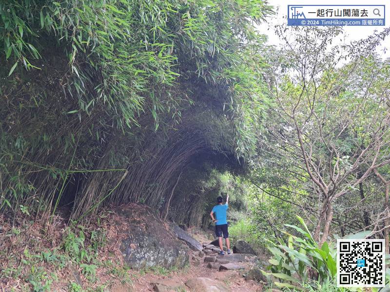
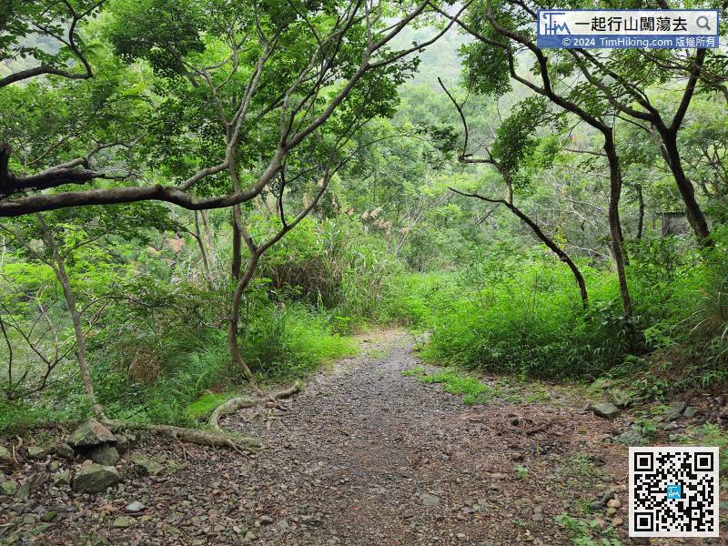 43︰Step forwards a little bit, will see a small piece of very tall and dense bamboo forest.
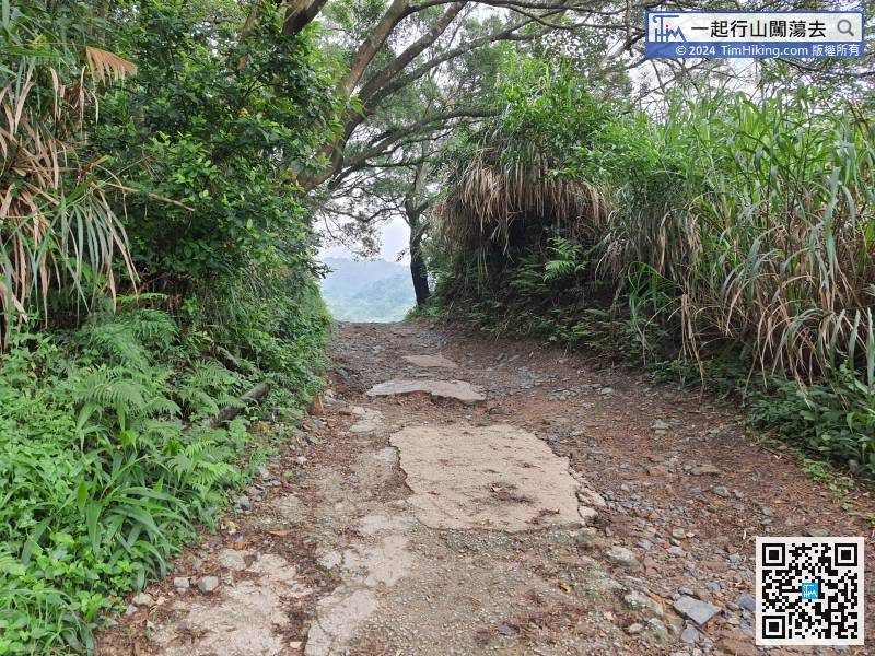 48︰If feeling tired, can rest on a small stone bench.
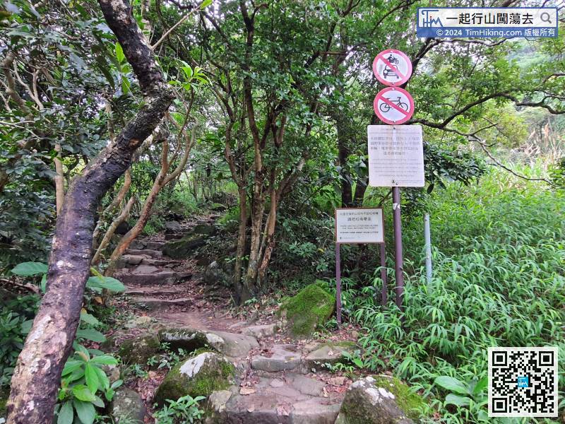
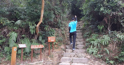
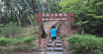
When seeing the road sign prohibiting vehicles, it is the beginning of the real uphill.


