


 Recommend YouTube


| View : |  | ||
| Difficulty : |  | ||
| Path : | |||
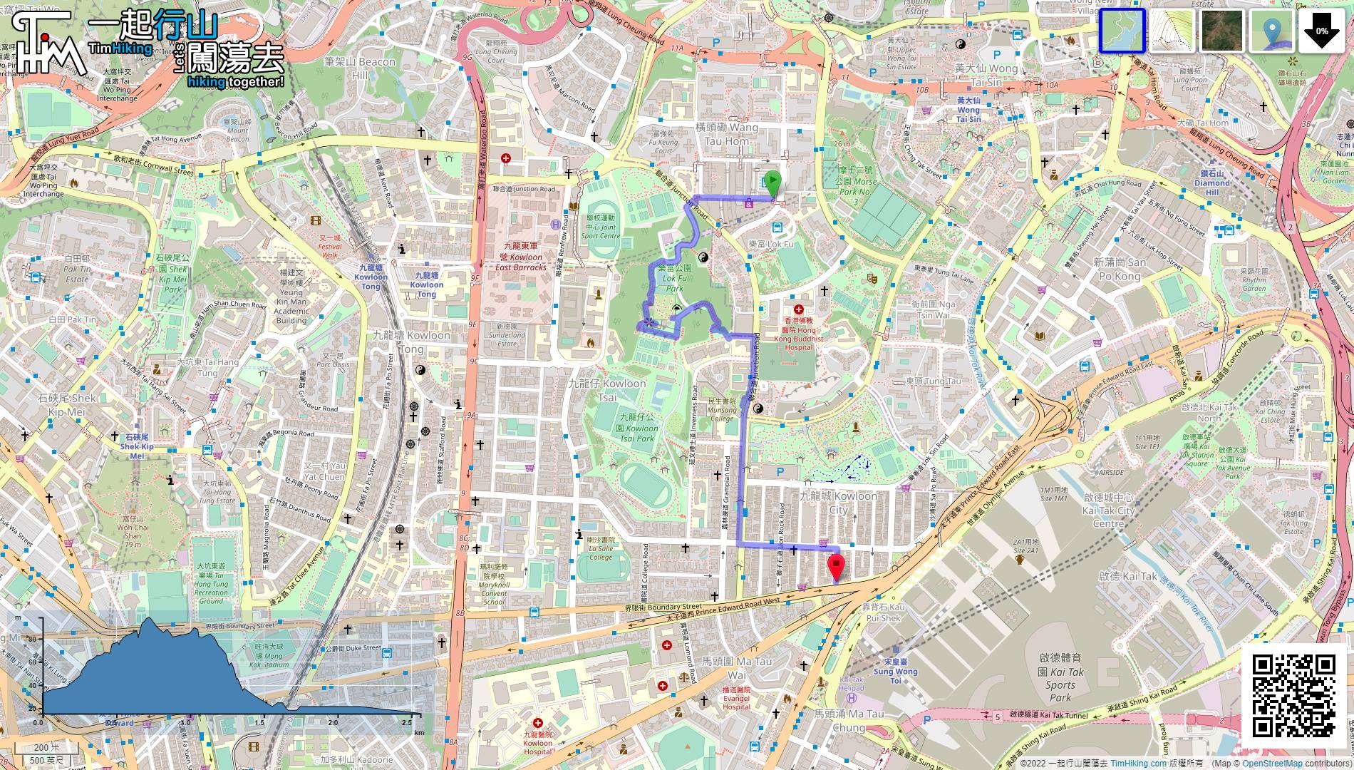
| Length : | 2.6km | ||
| Time : | 1½hours | ||
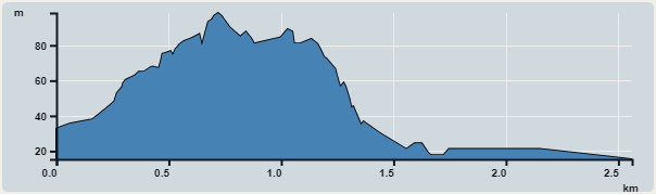 | |
| Ascent : 163m | Descent : 183m |
| Max : 98m | Min : 15m |
| (The accuracy of elevation is +/-30m) | |


 7︰and soon will encounter a bifurcated road.
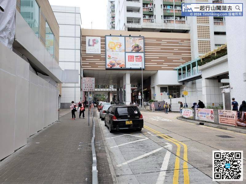
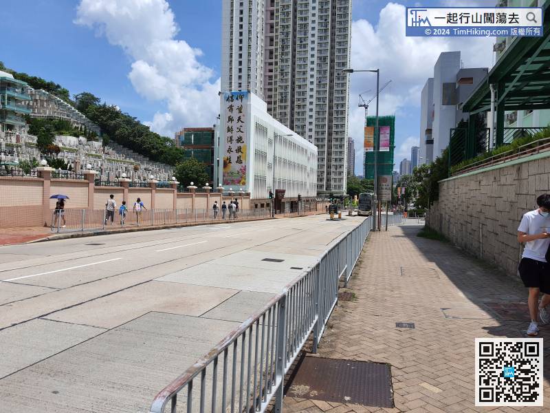
The starting point is near Lok Fu, you can leave at Exit A of Lok Fu Station, then turn left, follow the direction of Wang Tau Hom South Road.
8︰It is not difficult to find a small step on the right-hand side, which is the entrance of Checkerboard Hill Path.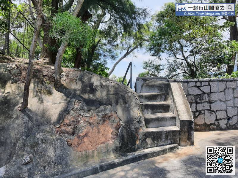
It is not difficult to find a small step on the right-hand side, which is the entrance of Checkerboard Hill Path.
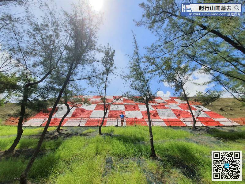
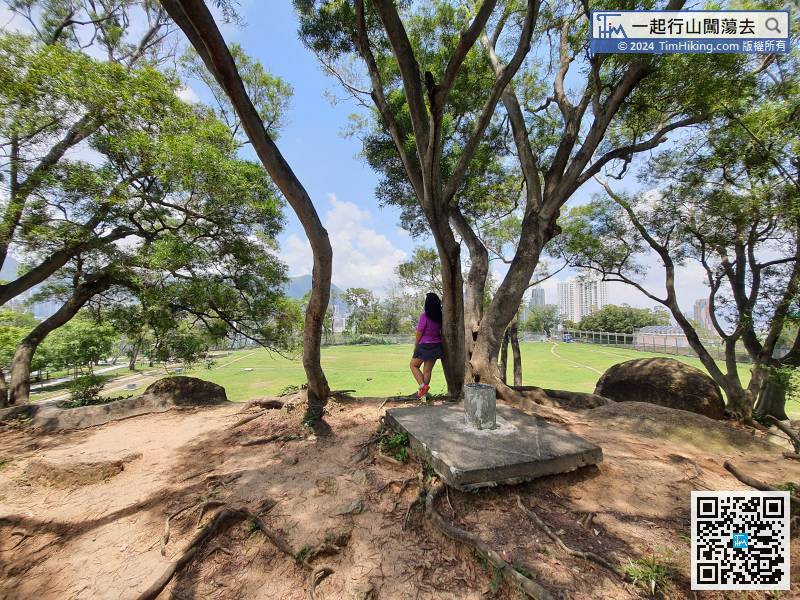
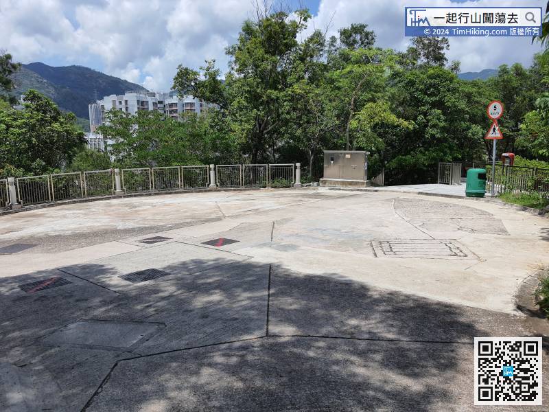
21︰will arrive at the Checkerboard Hill platform, which overlooks the entire Kowloon City District.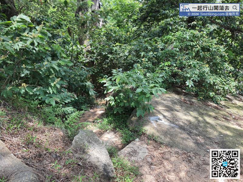 24︰and will come to the red and white checkered slope.
Go down the steps on the right side of the platform, then lean to the left to connect to the steps down on the other side,


