


 Recommend YouTube

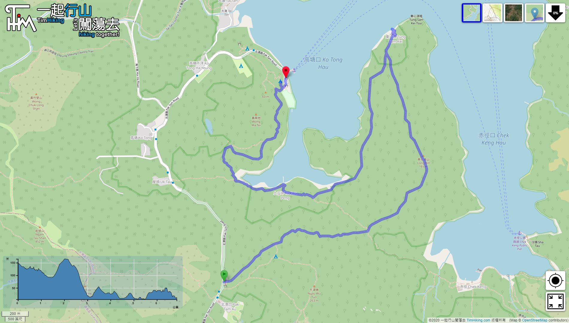

| View : |  | ||
| Difficulty : |  | ||
 (skip Long Hill) | |||
| Path : | |||
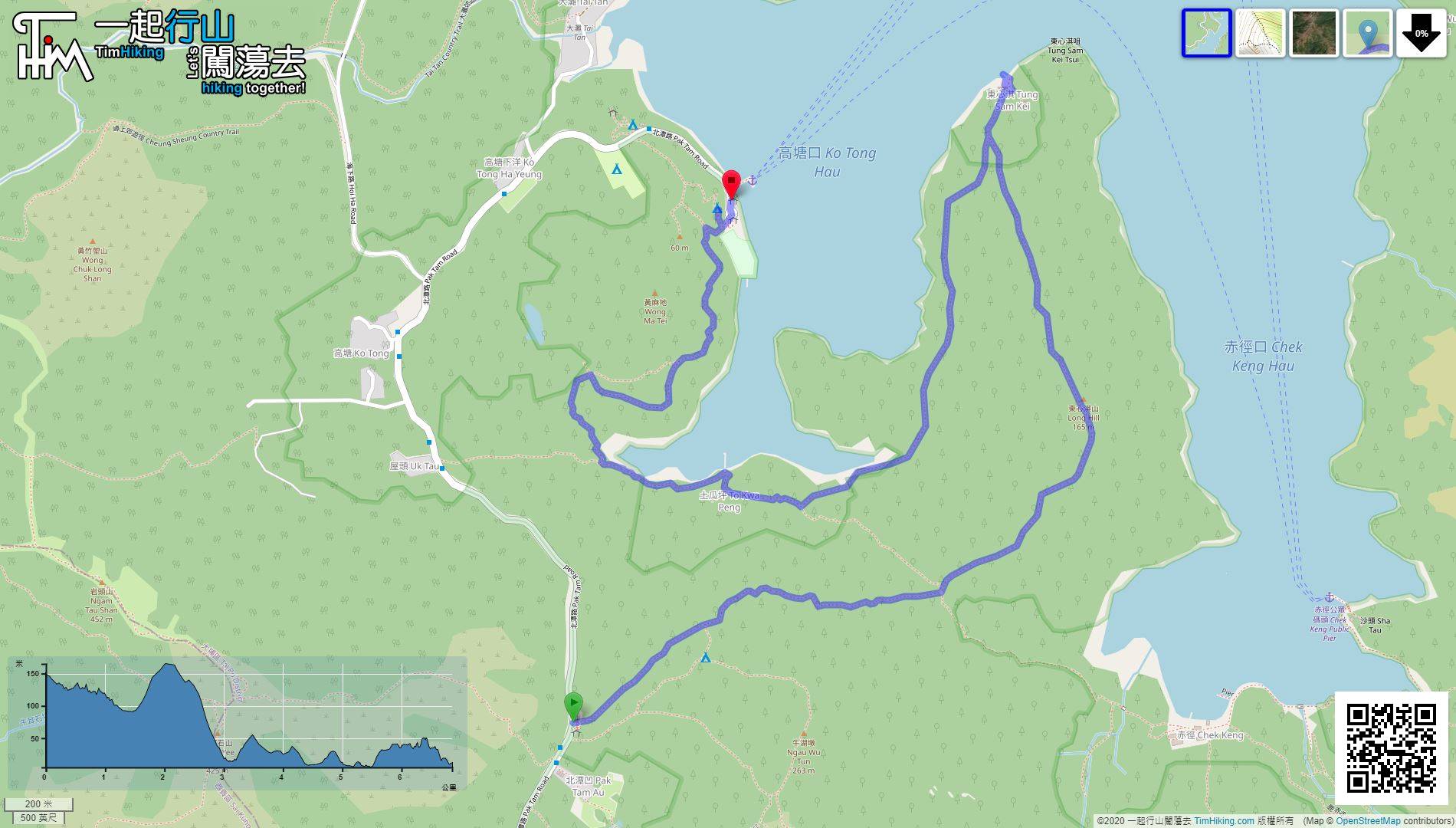
| Length : | 6.8km | ||
| Time : | 2½hours | ||
| 【 Wong Shek Campsite 】 | |||
| Toilet : | Flushing Toilet | ||
| Water : | Tap | ||
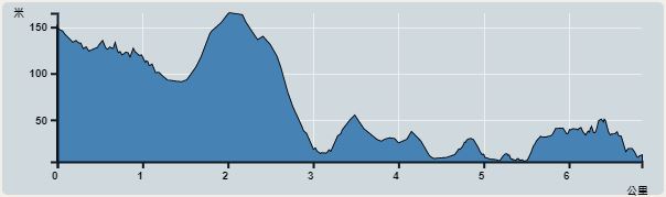 | |
| Ascent : 290m | Descent : 438m |
| Max : 155m | Min : 5m |
| (The accuracy of elevation is +/-30m) | |


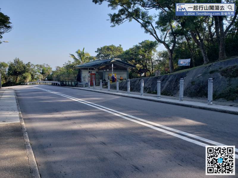
The starting point is at Pak Tam Au. You can take the 94/96R at Sai Kung and get off at Pak Tam Au.
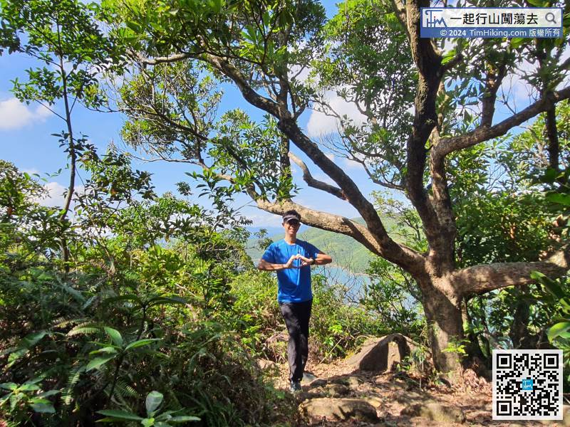
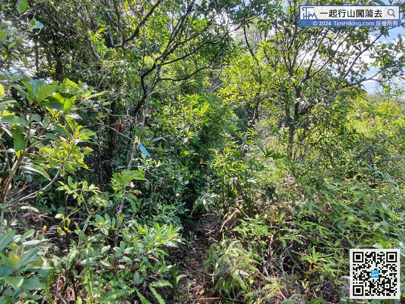
 12︰At first, it just likes a normal trail at all.
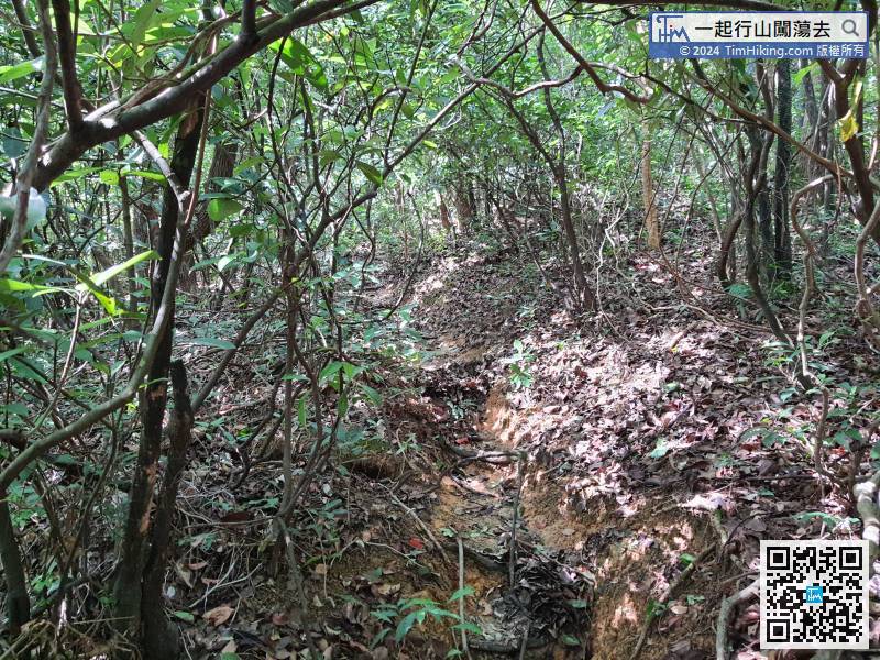
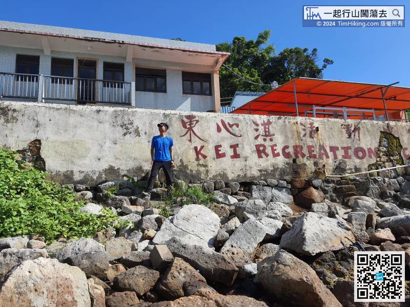
 32︰and Tung Sam Kei Activities Center is at the back.
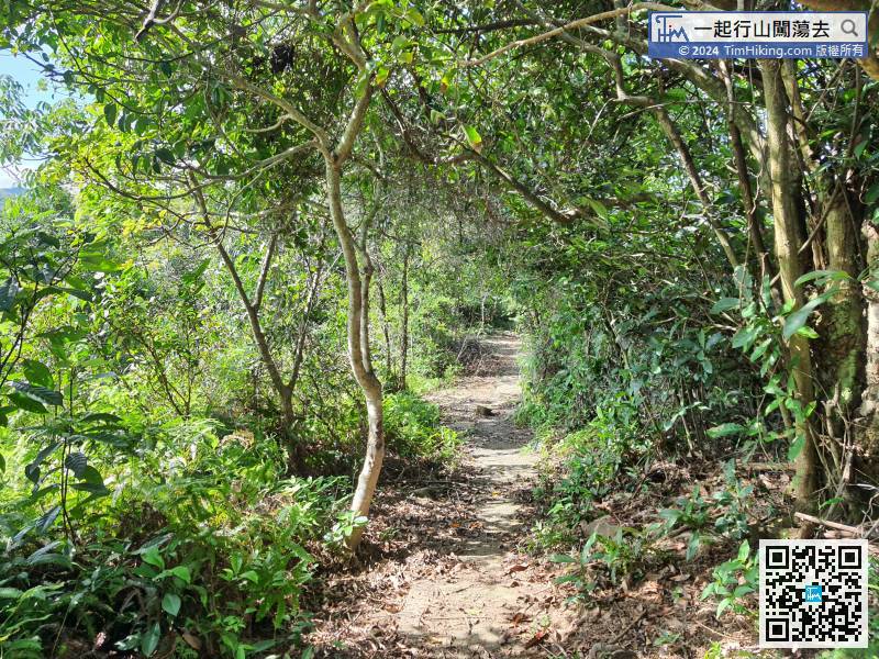
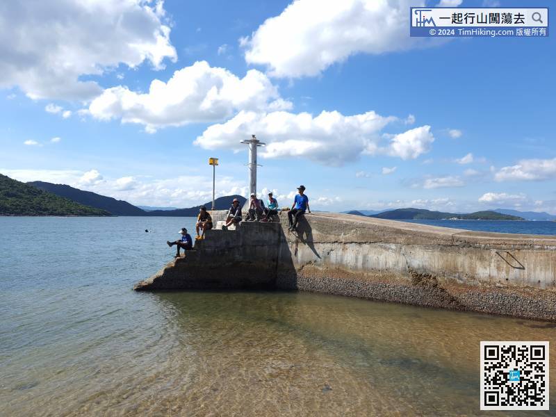
It is rare to come to Tung Sam Kei. Of course, turn right head to Tung Sam Kei Pier first, then turn back and leave on the concrete road.
40︰At the end of the road, connect to the MacLehose Trail,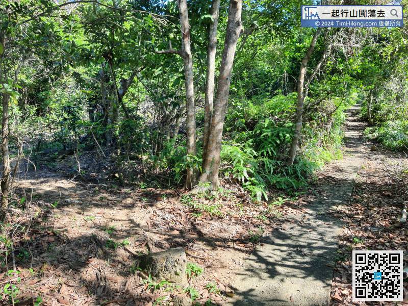 56︰and keep going down.
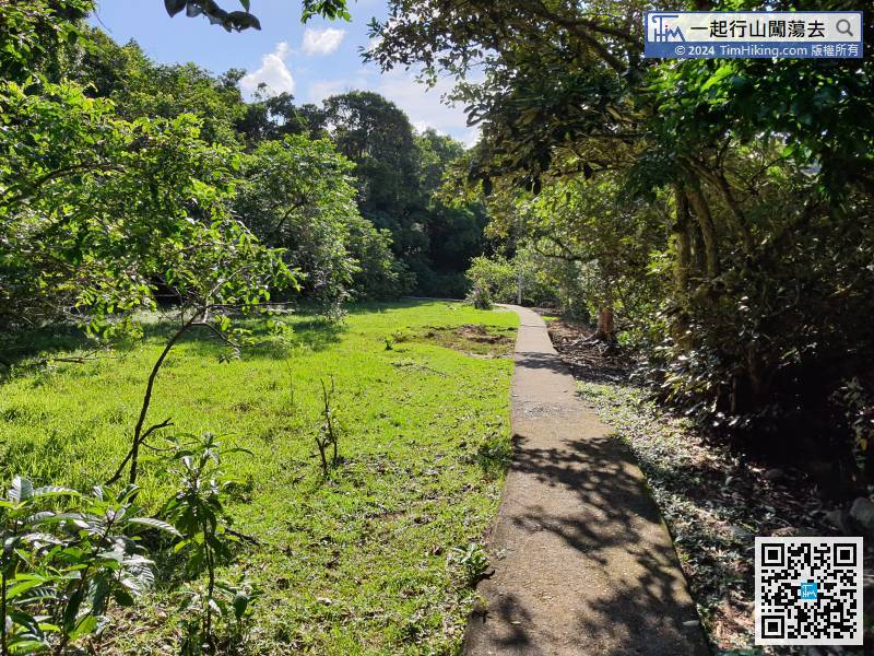
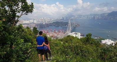
Actually, the scenery along the way is more beautiful than on Long Hill, the view is much wider.
65︰Wong Shek Campsite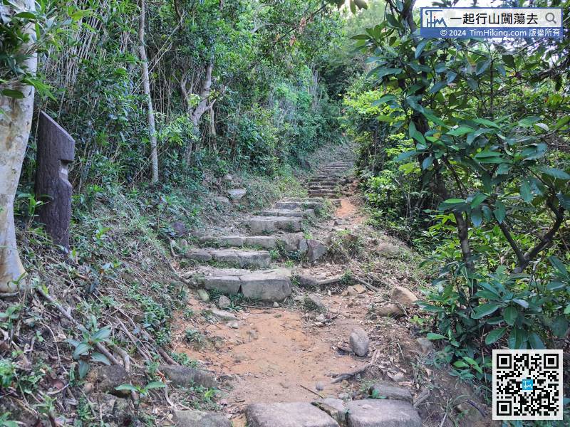


