


 Recommend YouTube


| View : |  | ||
| Difficulty : |  | ||
| Path : | |||
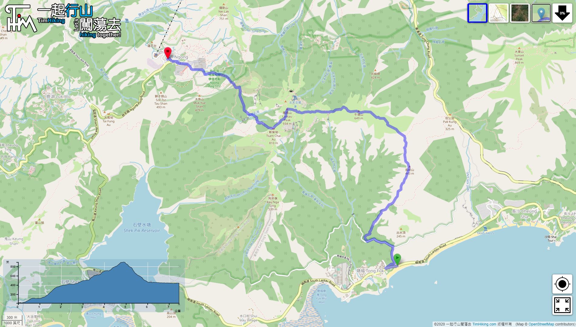
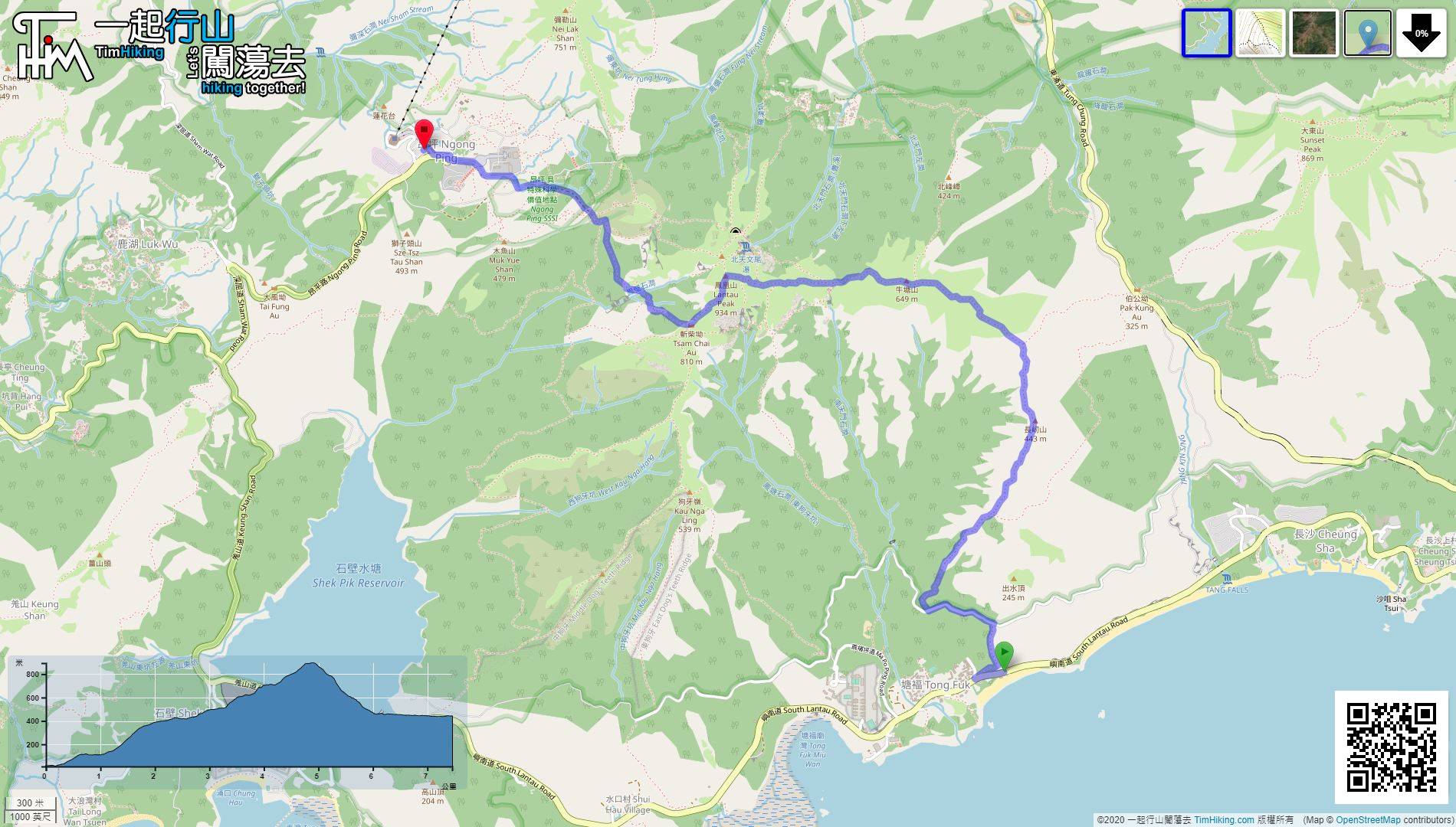
| Length : | 7.5km | ||
| Time : | 4hours | ||
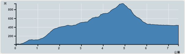 | |
| Ascent : 963m | Descent : 543m |
| Max : 894m | Min : 11m |
| (The accuracy of elevation is +/-30m) | |


 3︰with public toilets and changing rooms.
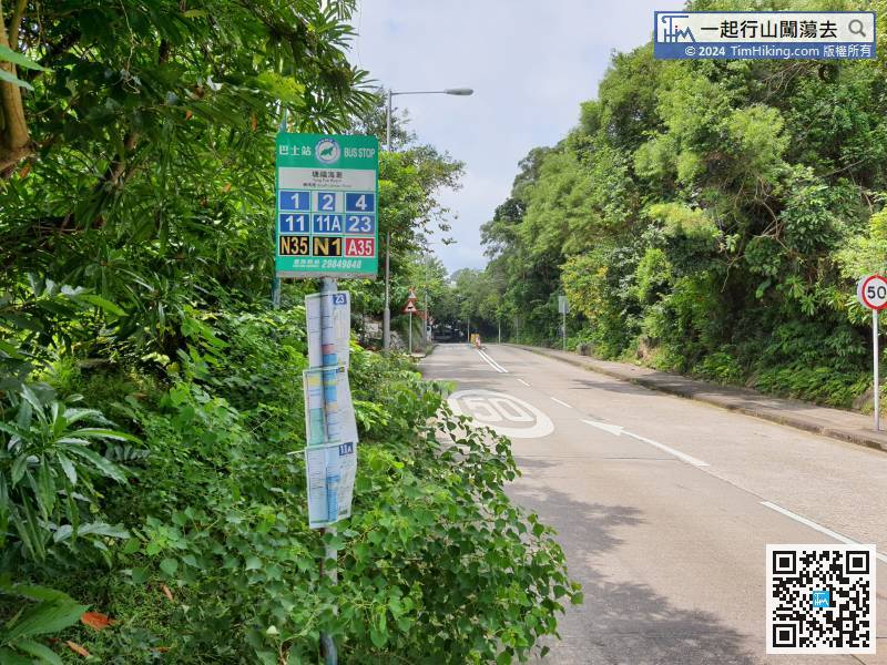
The starting point is Tong Fuk Beach near the shore. You can take Lantau Bus No.11 from Tung Chung and get off at Tong Fuk Beach.
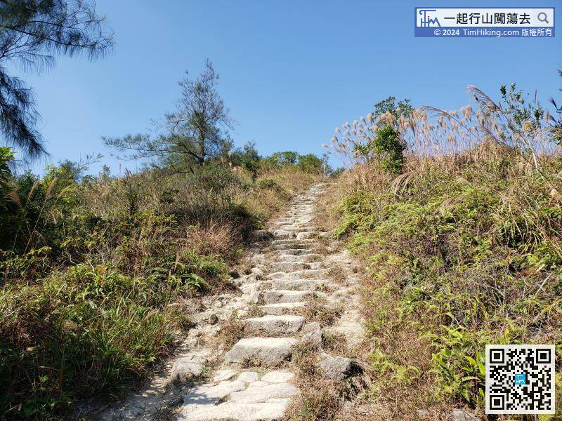
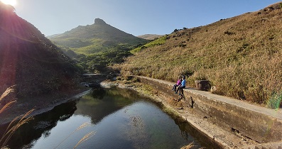
17︰and will see a bridge that crosses catchwater.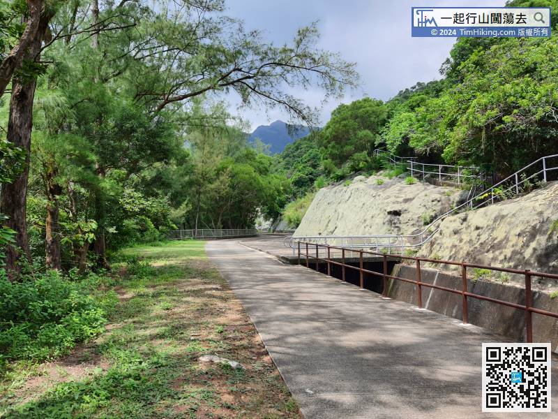 28︰and some are big stone steps.
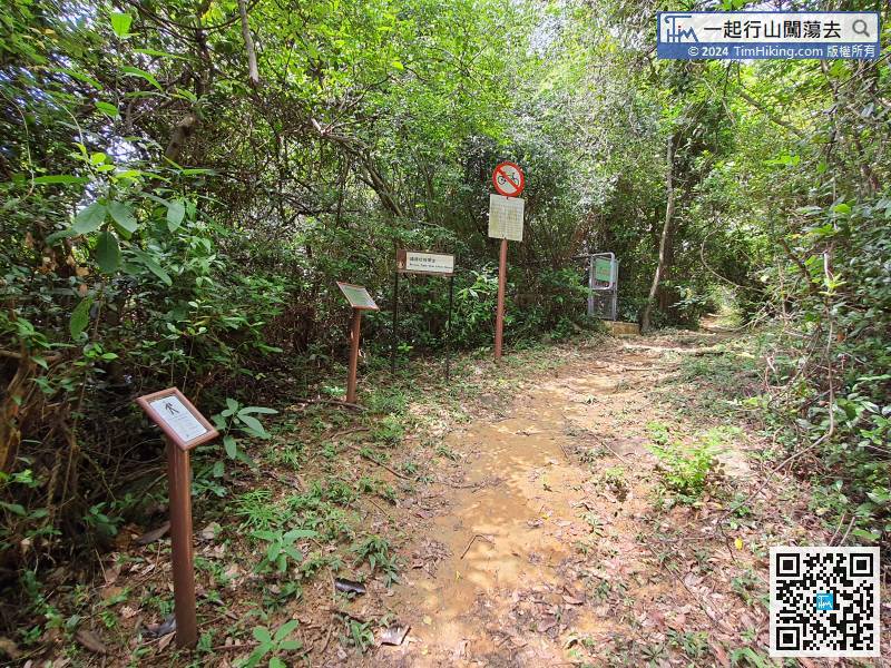 35︰and pay attention to the forked path on the left-hand side,
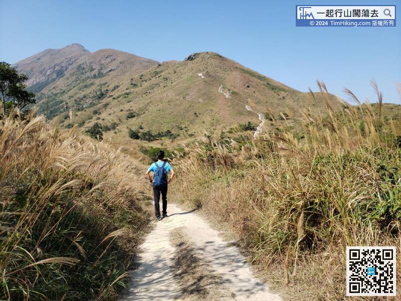
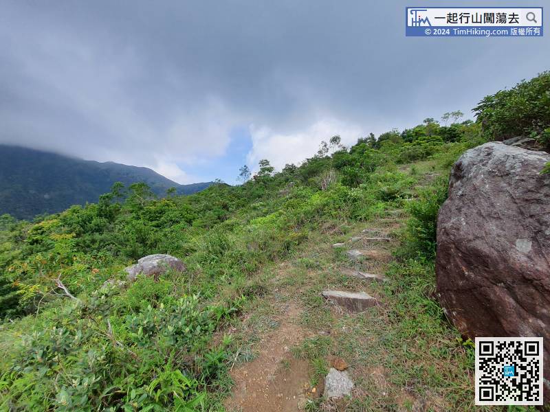 46︰The top of Cheung Yan Shan has no trigonometrical station
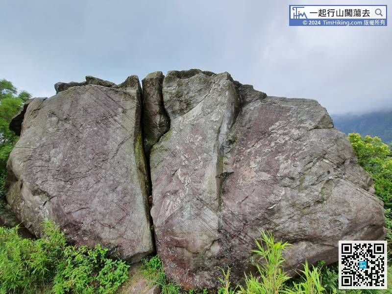
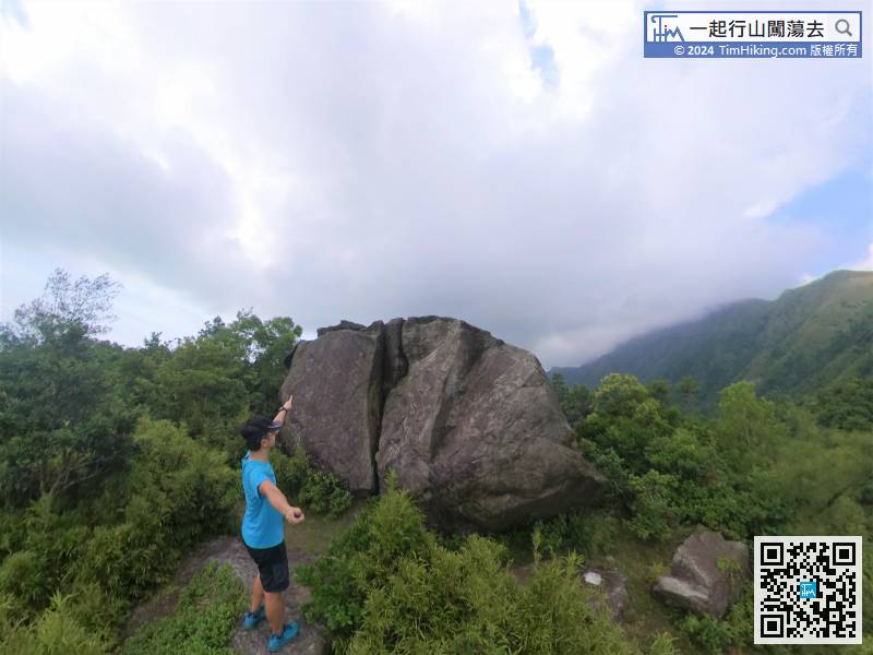
The location of Cheung Yan Rock is also the top of Cheung Yan Shan.
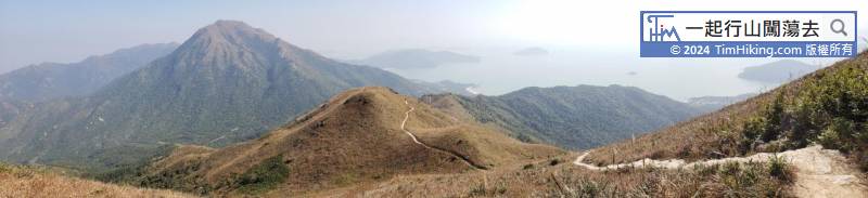
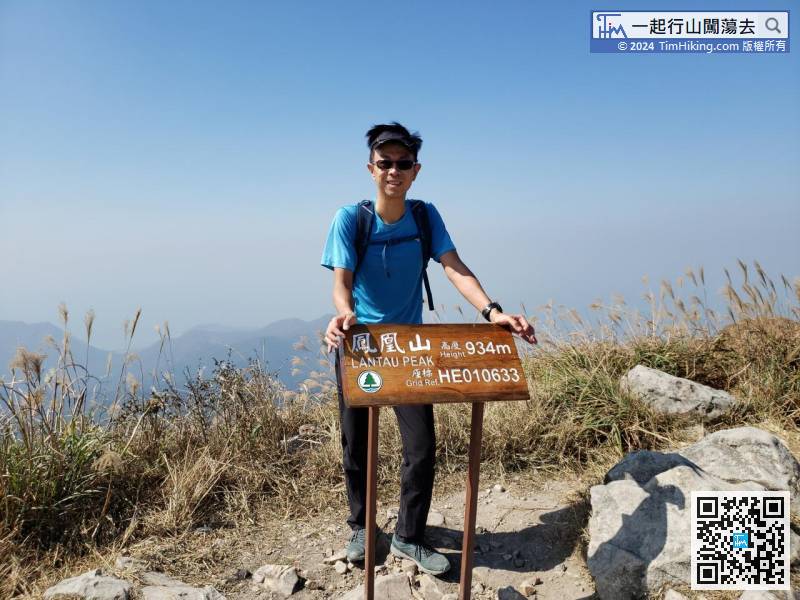
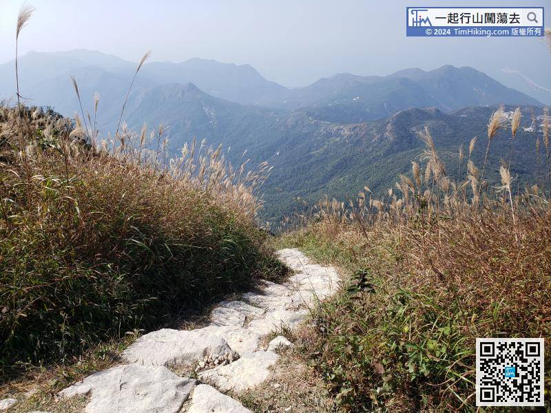
 77︰There is a trigonometrical station on the top of Lantau Peak.
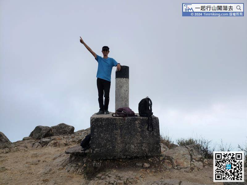
There is a trigonometrical station on the top of Lantau Peak.
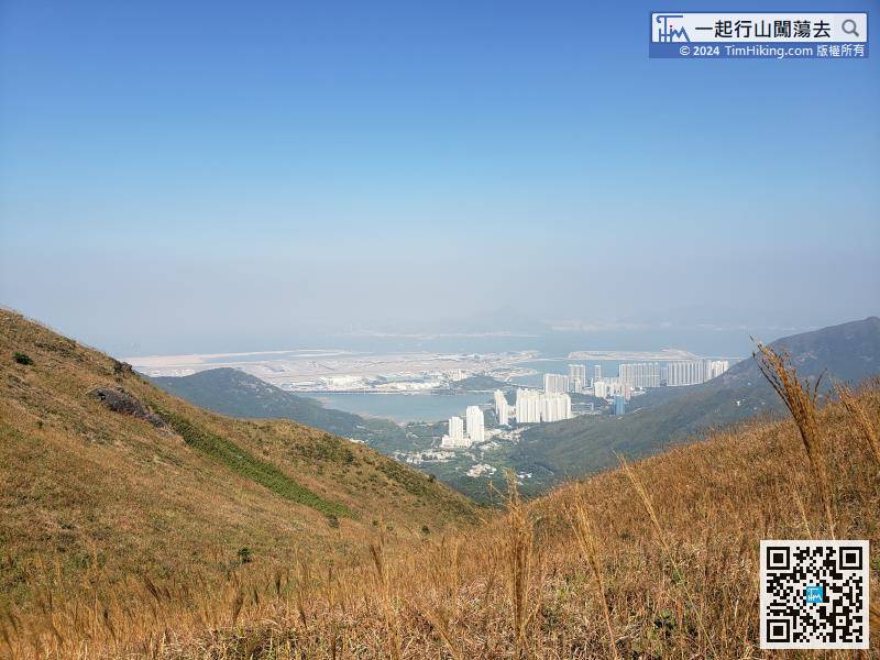
The total descending from the peak is about 450 meters, which is half of Lantau Peak.


