


 Recommend YouTube


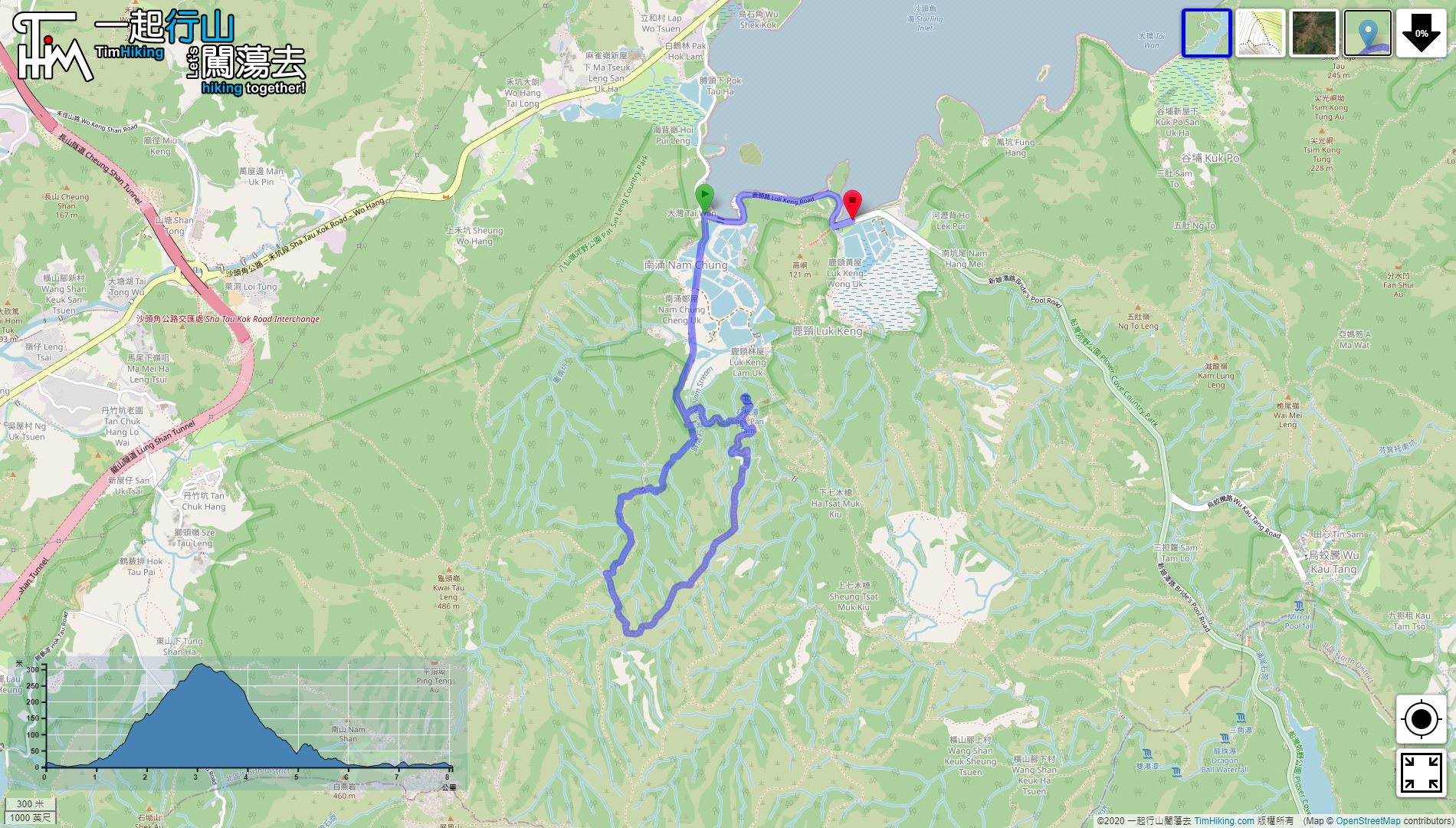

| View : |  | ||
| Difficulty : |  | ||
| Path : | |||
| Length : | 8.1km | ||
| Time : | 6hours | ||
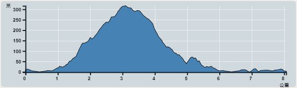 | |
| Ascent : 445m | Descent : 452m |
| Max : 317m | Min : 0m |
| (The accuracy of elevation is +/-30m) | |


 4︰just walking along the long straight road.
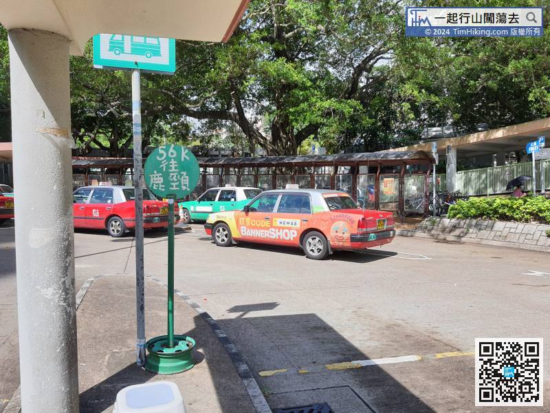
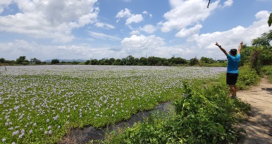
The starting point is Lam Chung. You can take 56K to Tai Wo Station.
16︰When coming to the starting point of Ping Nam Stream, packing the baggage first, make sure that all electronic devices have been protected against water.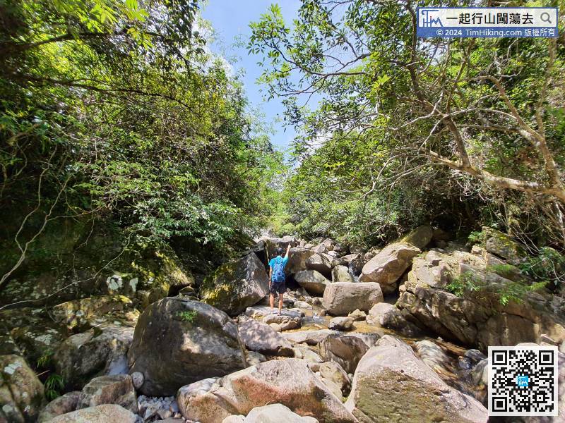
When coming to the starting point of Ping Nam Stream, packing the baggage first, make sure that all electronic devices have been protected against water.
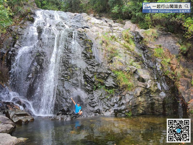
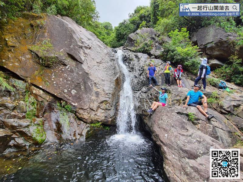
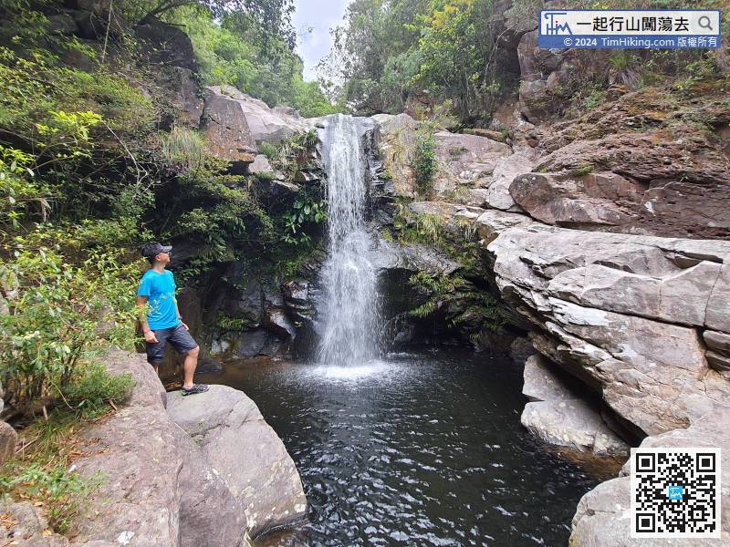
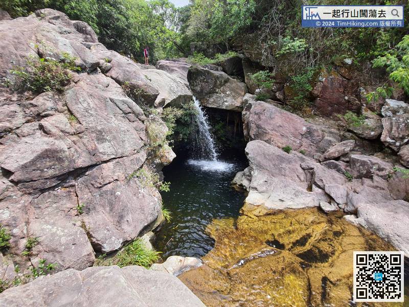
31︰After returning to the stream, come to Tso Kwan Fall immediately.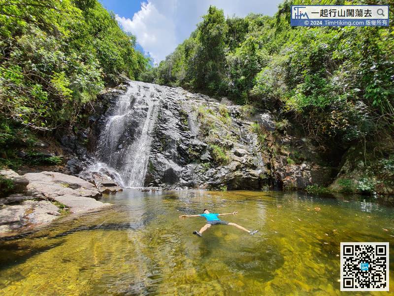
After returning to the stream, come to Tso Kwan Fall immediately.
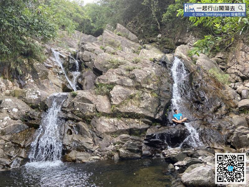
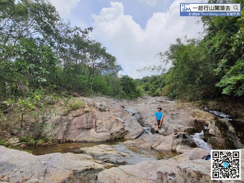
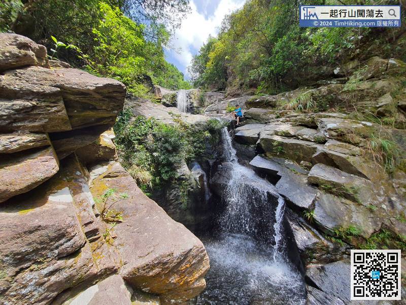
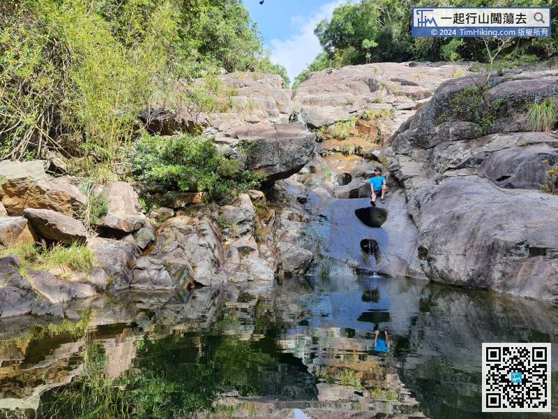
44︰and then connect to a wide stream.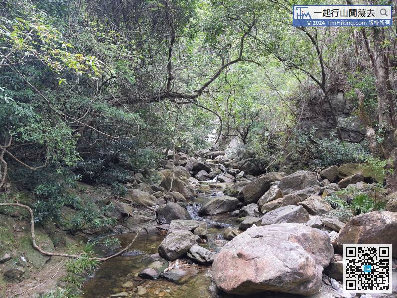
Take a short break again, and then continue to walk along the stream.
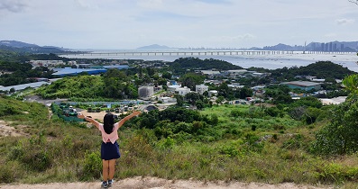
66︰and also can see Lam Chung and the other side of Shenzhen.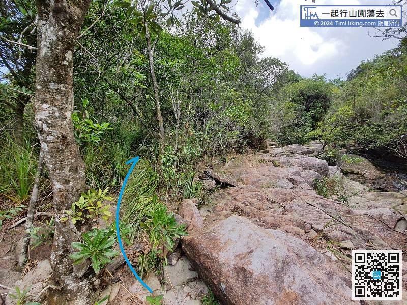 82︰The characteristic of Shek Pan Tam is that it has multiple natural potholes, which are formed by the abrasion of regular vortex jets over the years.
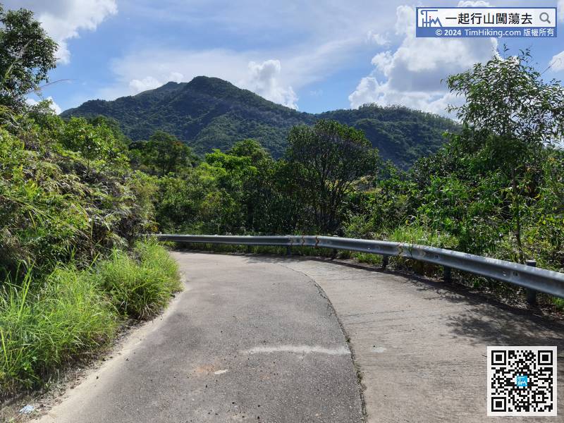
Finally, connect to the concrete road on Wilson Trail, turn left and continue down the mountain.


