


 Recommend YouTube


| View : |  | ||
| Difficulty : |  | ||
| Path : | |||
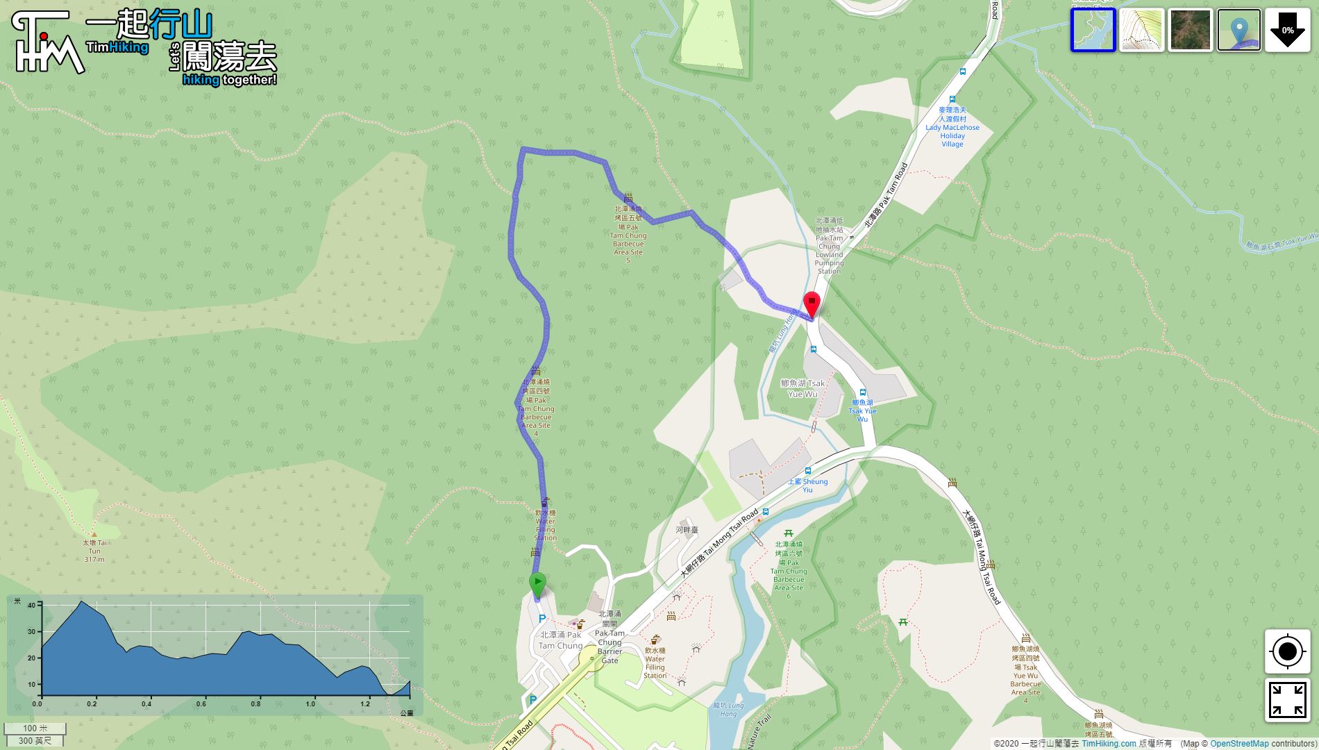
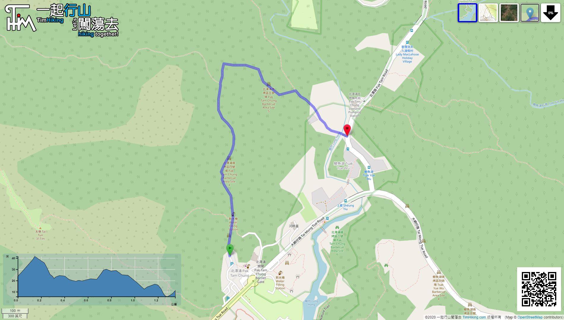
| Length : | 1.4km | ||
| Time : | ¾hours | ||
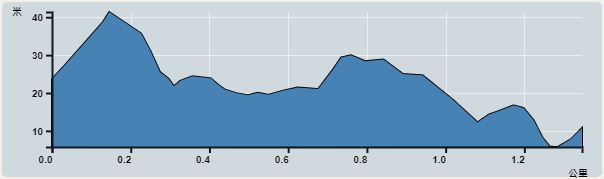 | |
| Ascent : 45m | Descent : 55m |
| Max : 41m | Min : 6m |
| (The accuracy of elevation is +/-30m) | |


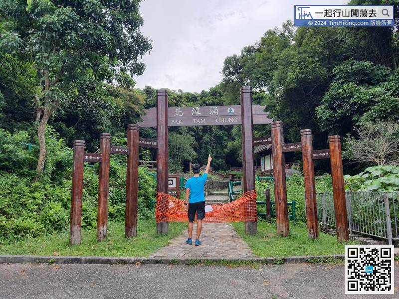
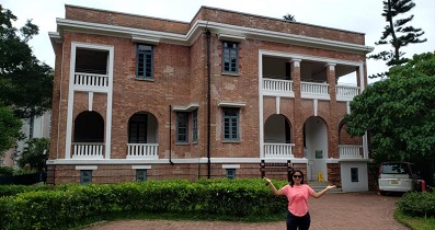
 4︰The entrance of Pak Tam Chung Family Trail is at the end of the tourist bus cark park, which is also the entrance to multiple Barbecue Areas.
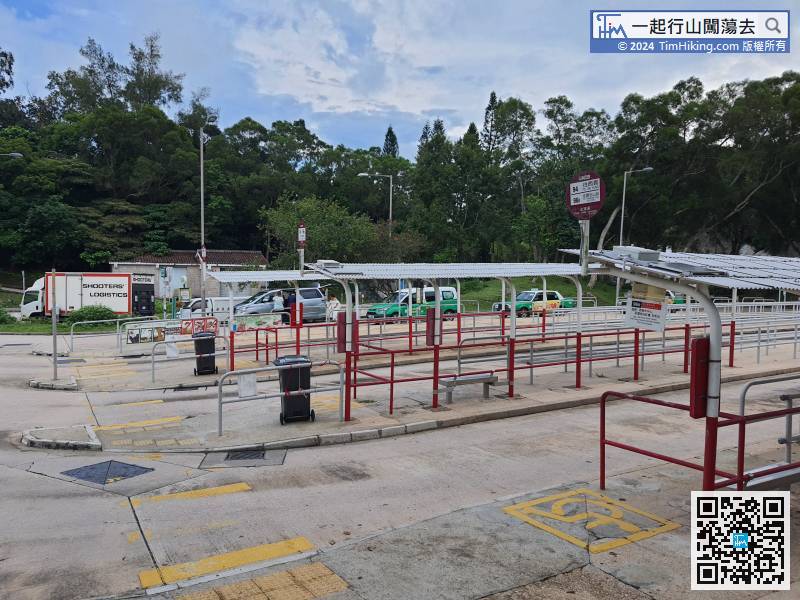
The starting point is Pak Tam Chung, many bus and minibus routes are coming from Sai Kung Pier.
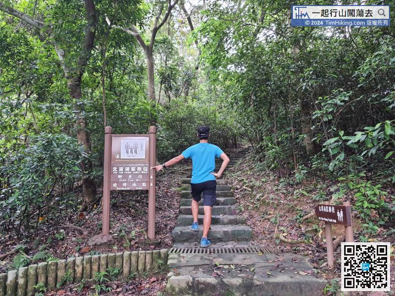
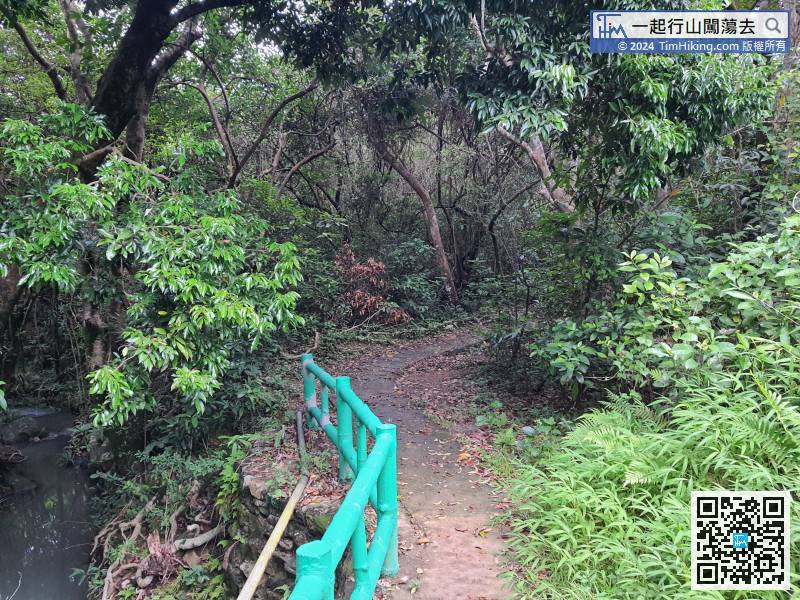
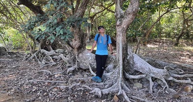
 21︰There are some small forked roads, just go in the direction of Tsak Yue Wu.
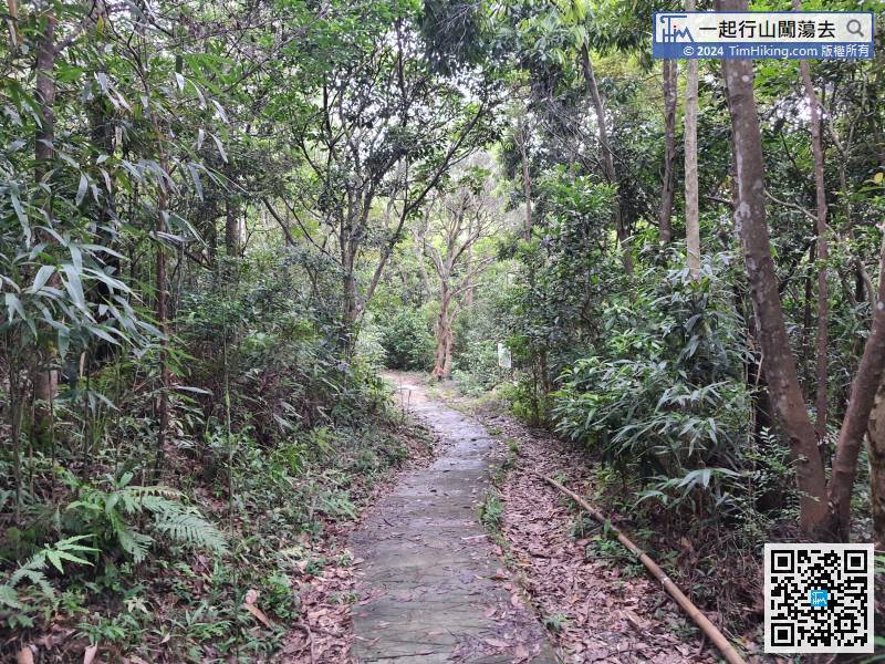


