


 Recommend YouTube


| View : |  | ||
| Difficulty : |  | ||
| Path : | |||
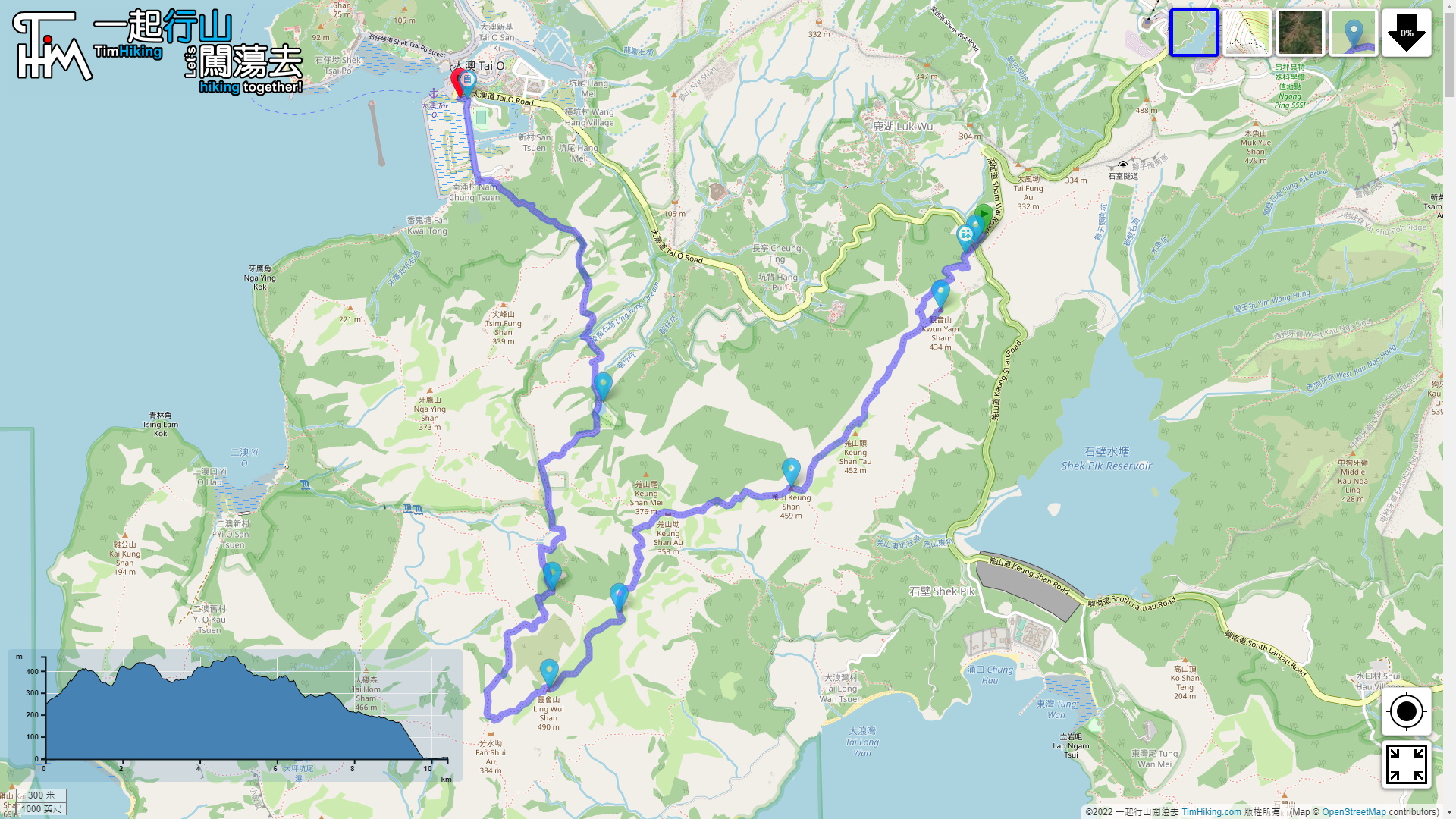
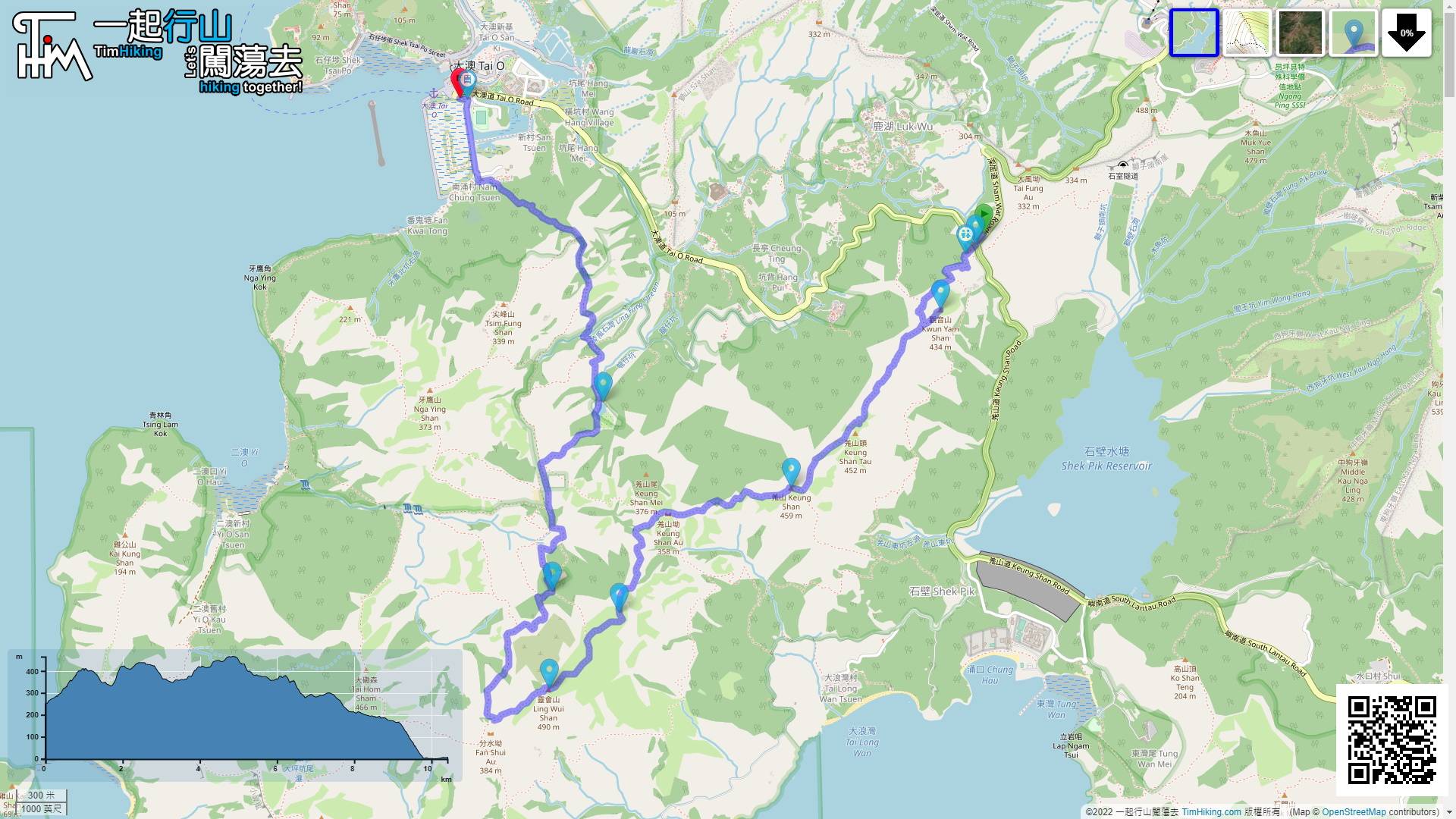
| Length : | 10.5km | ||
| Time : | 5hours | ||
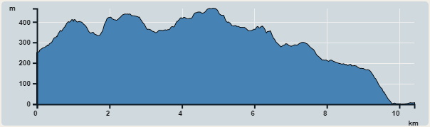 | |
| Ascent : 605m | Descent : 869m |
| Max : 465m | Min : 0m |
| (The accuracy of elevation is +/-30m) | |


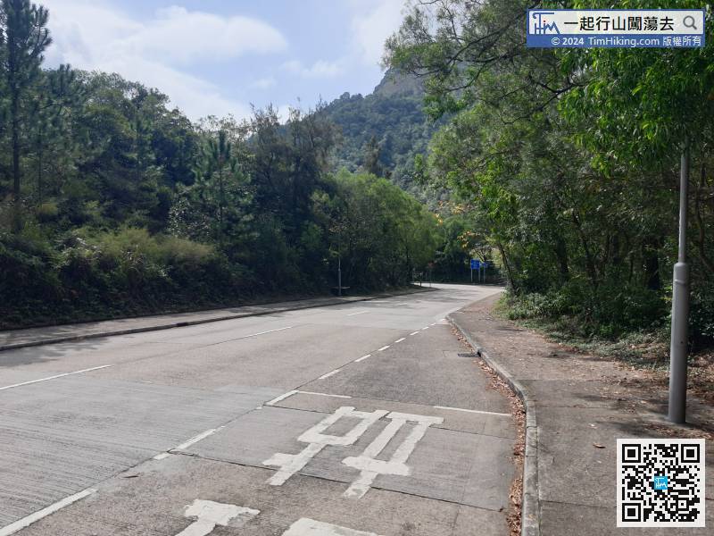
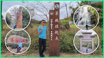
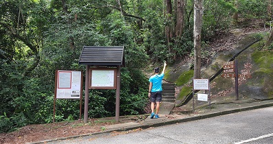
The starting point is close to Sham Wat Road. You can take Lantau Bus No.11/23 to get there. The stop is Sham Wat Road.
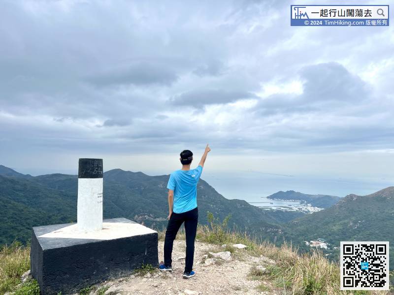
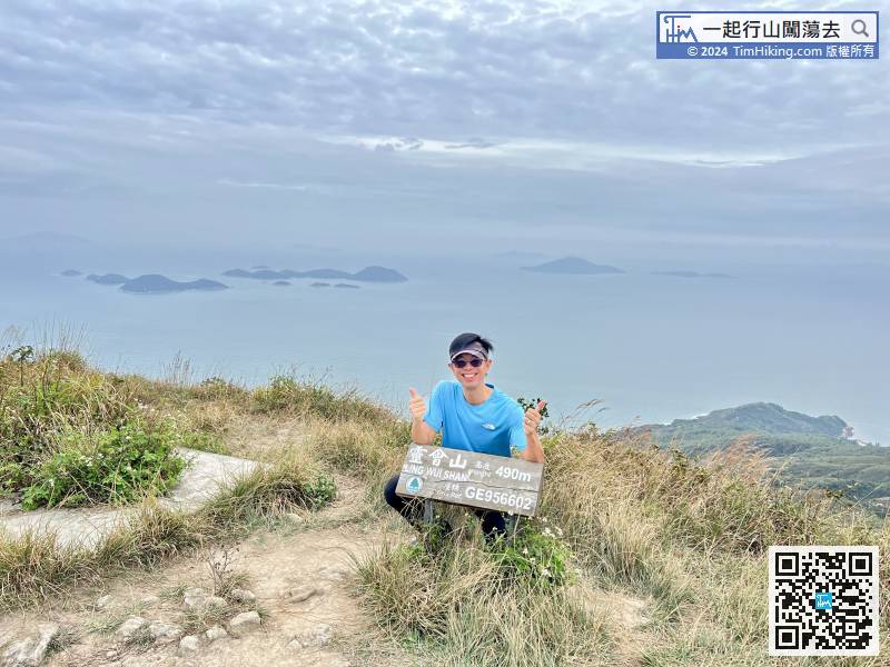
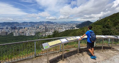
 23︰Kwun Yam Shan is 434 meters high, looking straight at Lantau Peak,
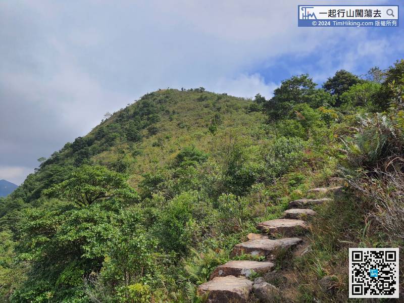
Less than 15 minutes before and after, the mountain in front is Kwun Yam Shan.
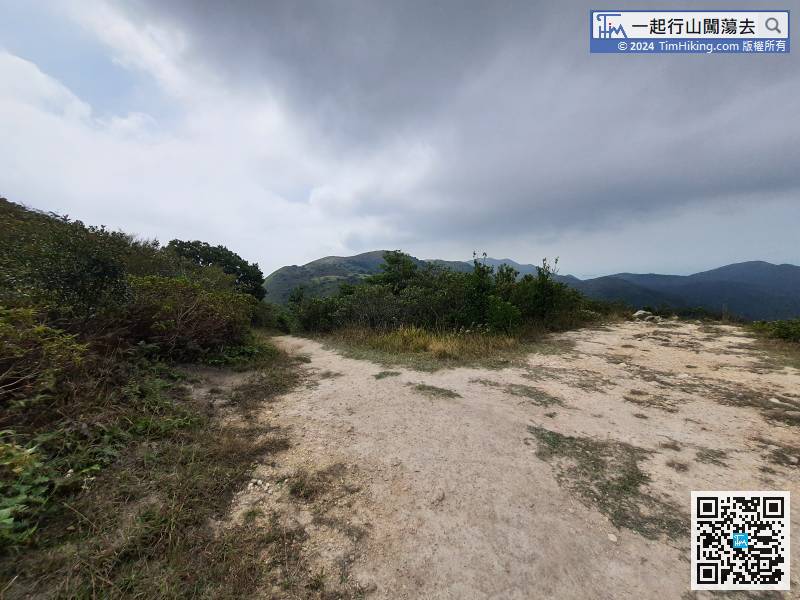
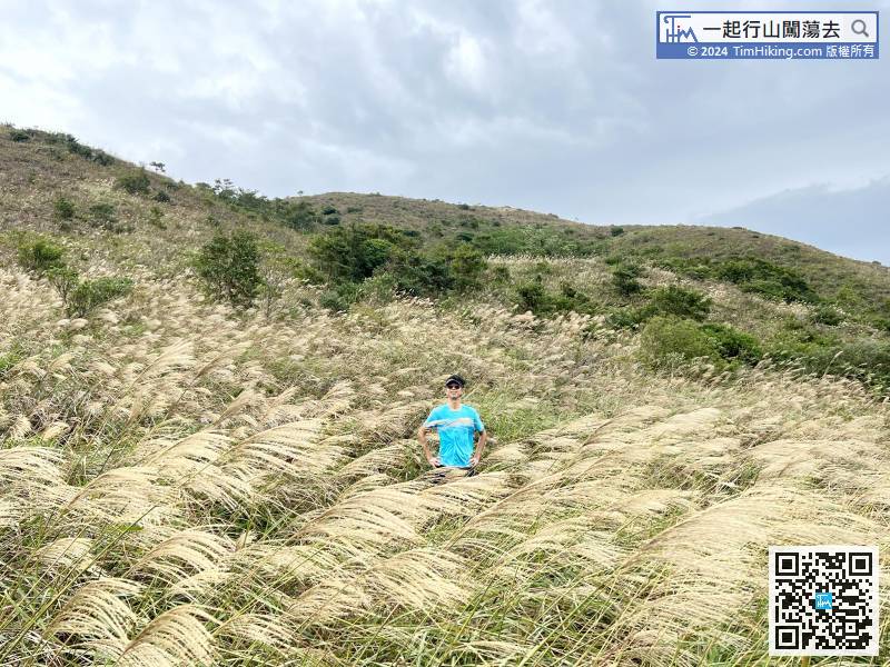
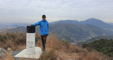
Unconsciously, come to a flat location that looks like a mountain top,
Leave after taking enough photos of Miscanthus, and continue the journey to the peak.
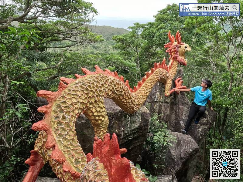
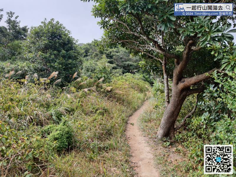
95︰to reach the Flying Dragon.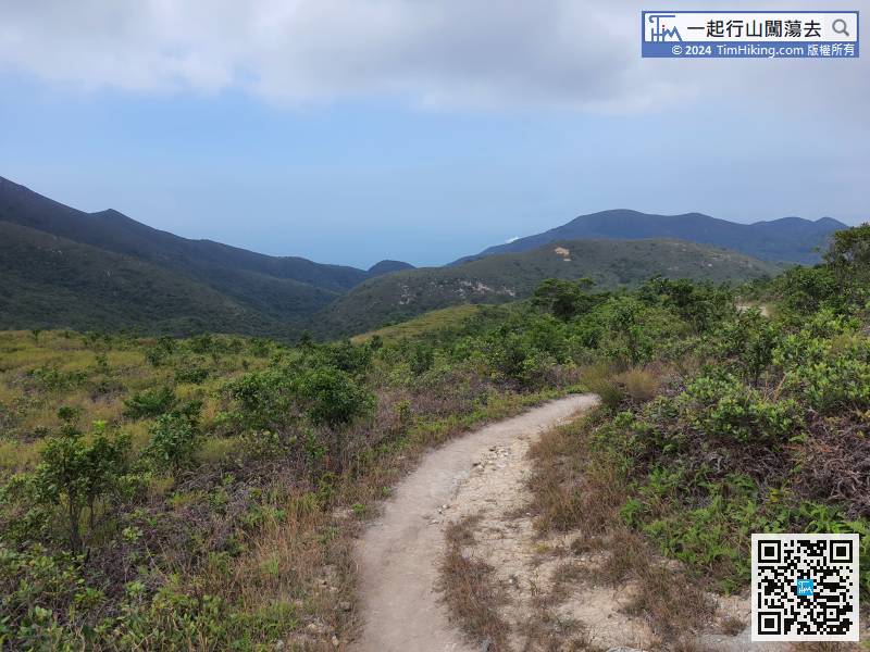
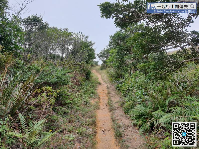
Next, it is mainly downhill. The mountain trail is easy to walk,
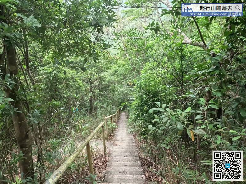
After finding the Flying Dragon, go down the steps,
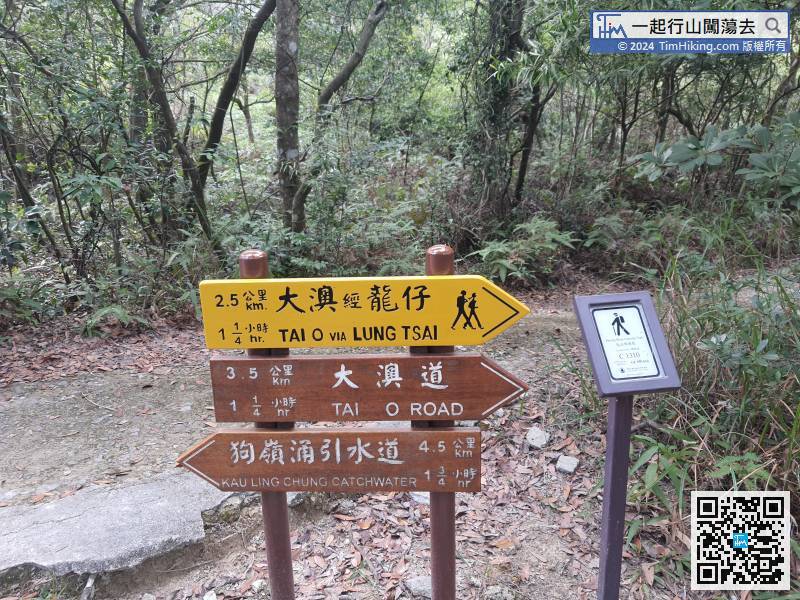
This section overlaps with Keung Shan Country Trail, distance post you will see C1310, follow the signs to Tai O via Lung Chai, and visit Ng Yuen.
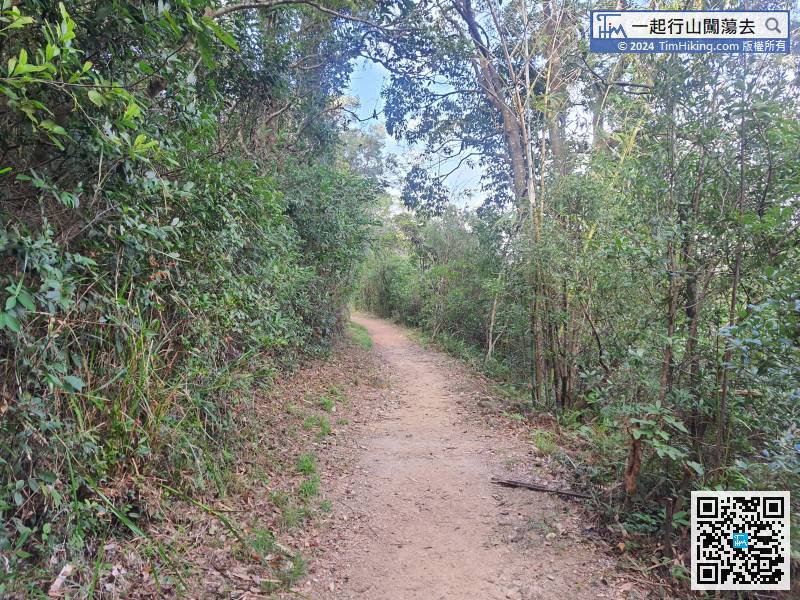
The end section is all good, but there are very few flat roads.


