


 Recommend YouTube


| View : |  | ||
| Difficulty : |  | ||
| Path : | |||
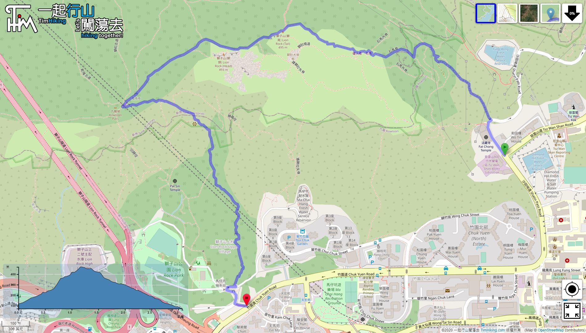
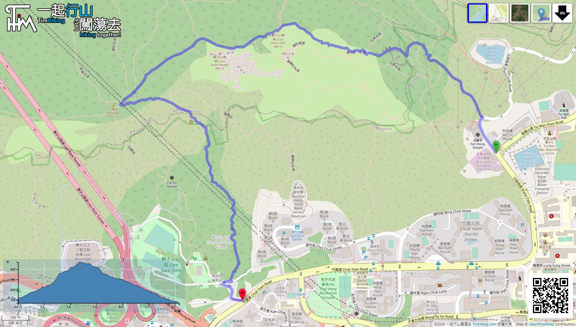
| Length : | 3.1km | ||
| Time : | 3hours | ||
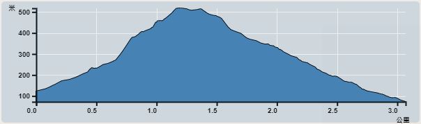 | |
| Ascent : 377m | Descent : 427m |
| Max : 469m | Min : 72m |
| (The accuracy of elevation is +/-30m) | |


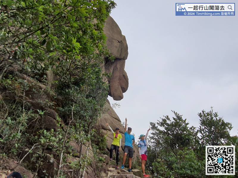
 4︰there is an iron gate, which is the entrance to the old quarry.
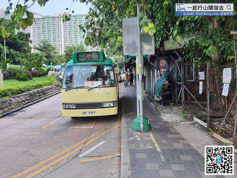
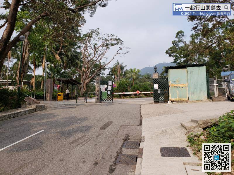
The starting point is at Temple Hill Fat Chong Temple, you can go from Wong Tai Sin station, or take the minibus 18/18M, or 73 from Festival Walk, can skip the long slope of Sha Tin Pass.
20︰The trail will become clearer if on the right way.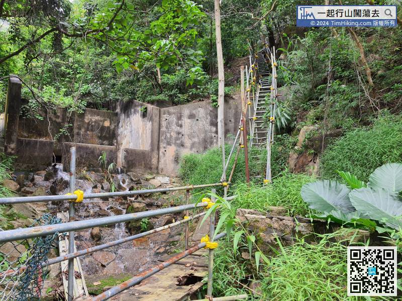 28︰Aware of the cliff on the left side.
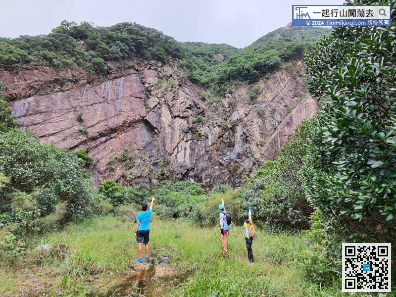
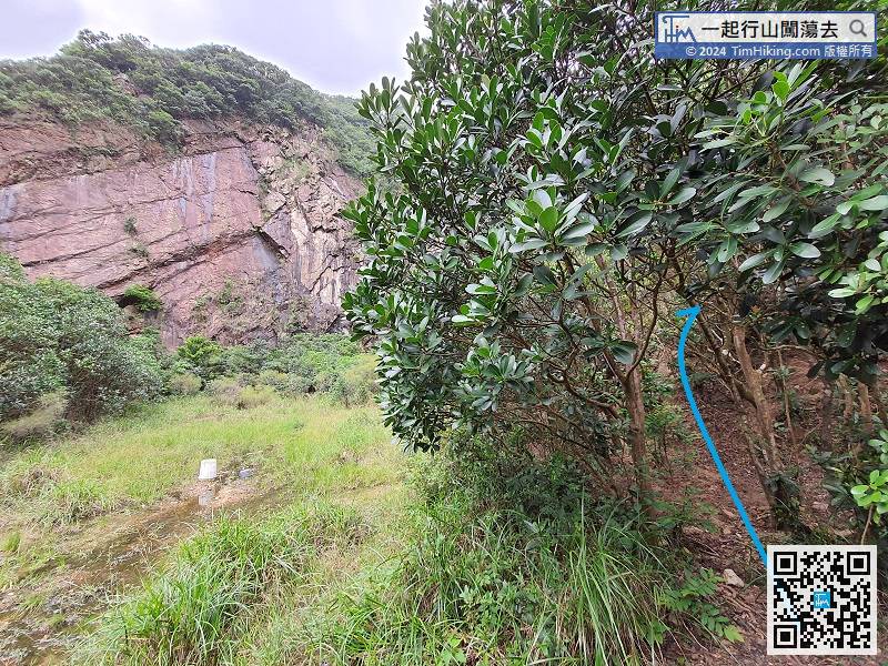
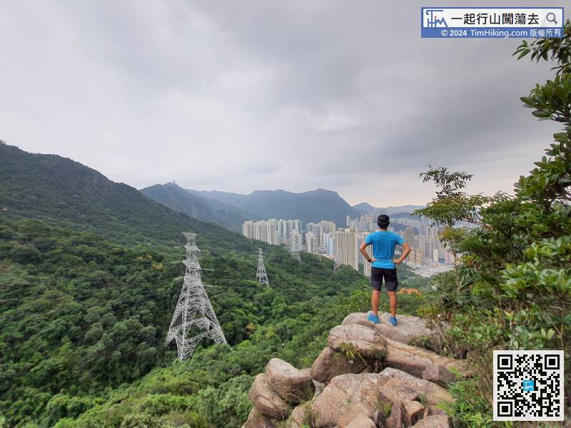
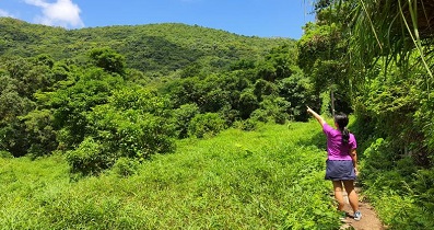
Ready to go! Start climbing from the right side,
42︰and Horse Rock is ahead.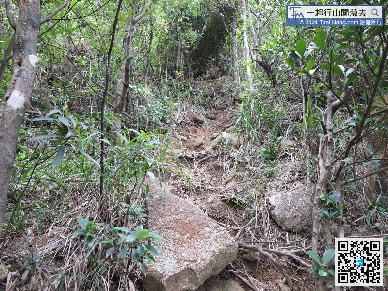
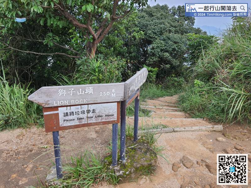
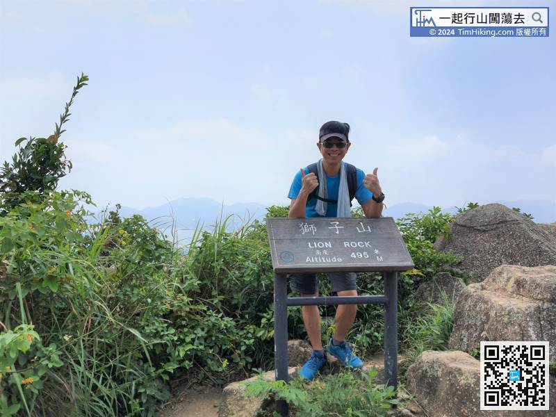
Connect to the MacLehose Trail, the right is the direction to Lion Pavilion, and the left is the direction to Sze Tse Tau, which is the Return Pavilion and Beacon Hill.
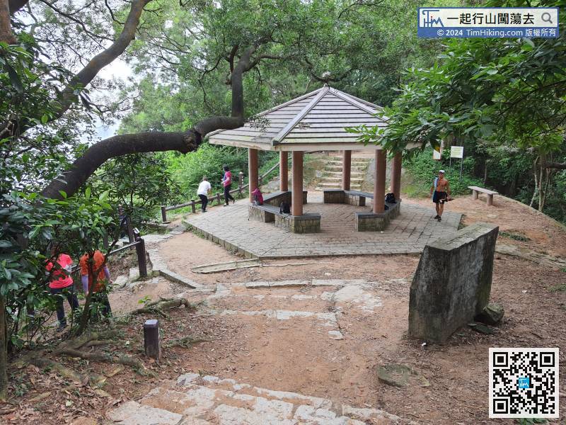
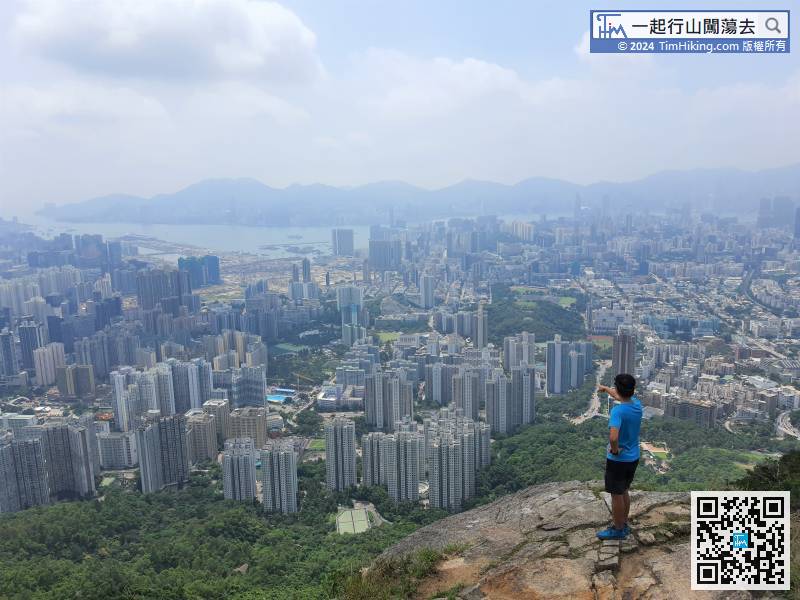
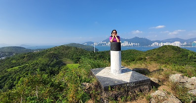
When coming to the pavilion, hikers should be familiar with this location.


